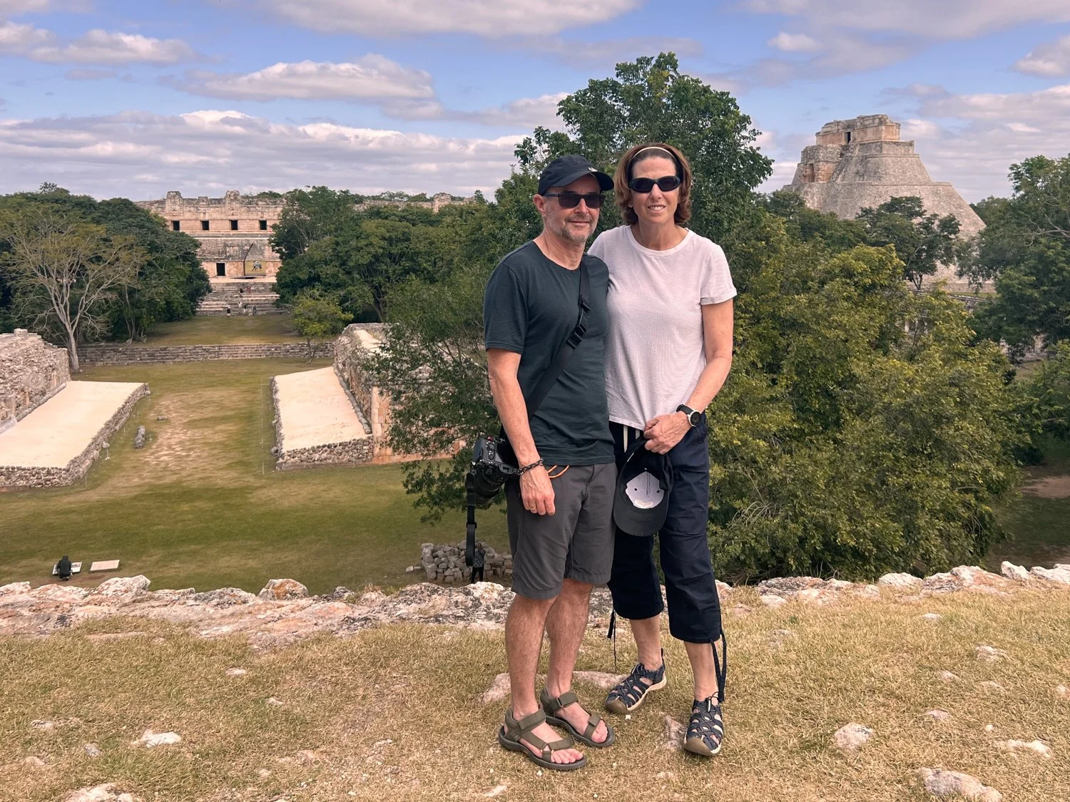
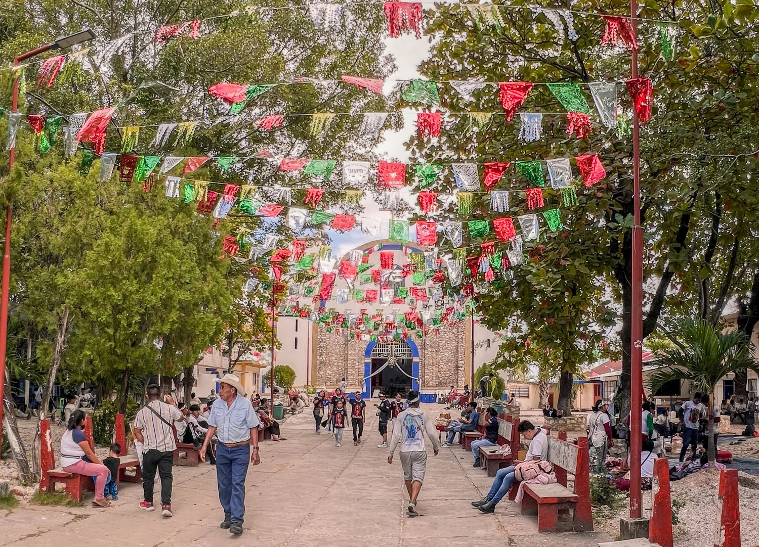
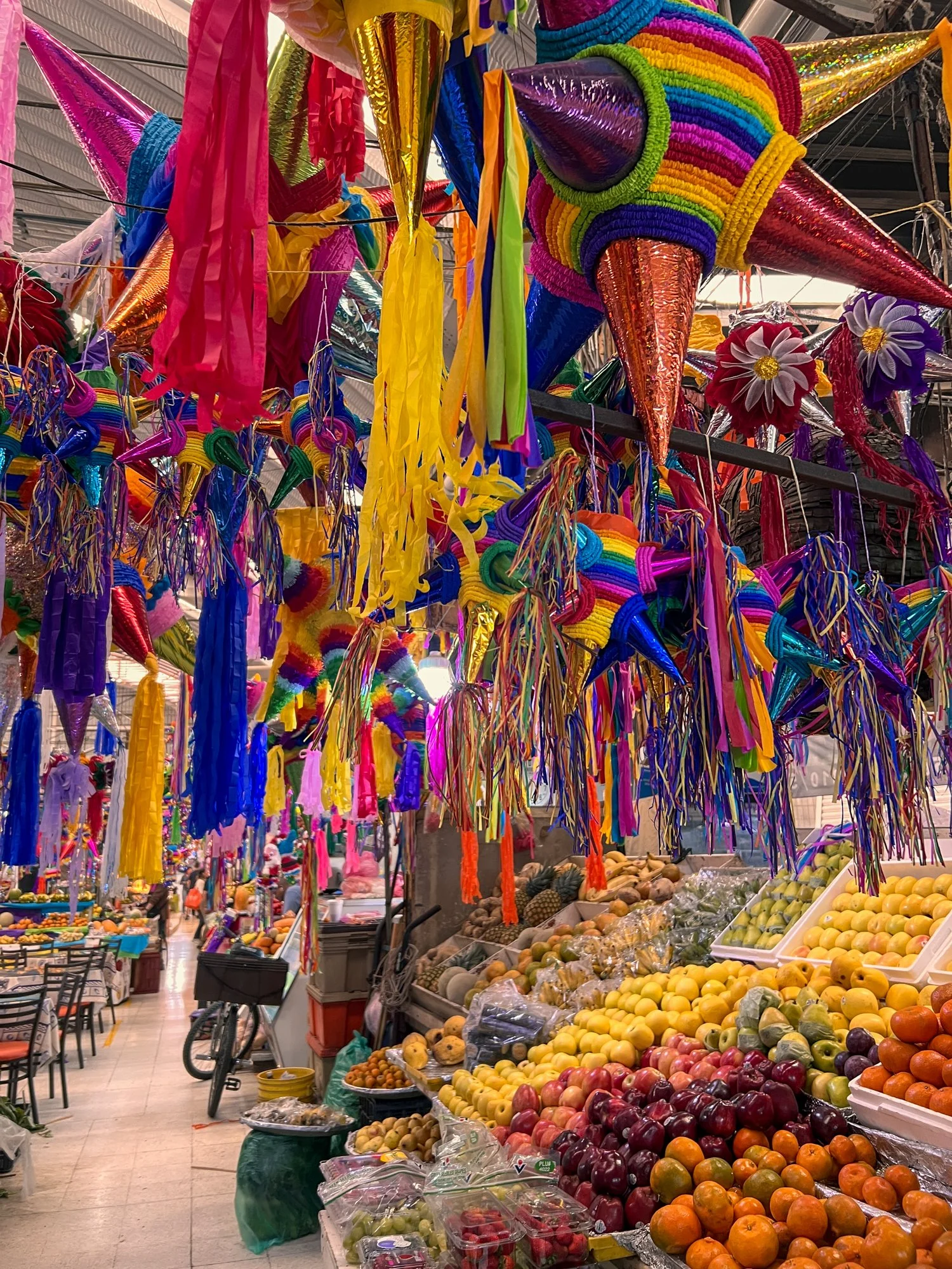
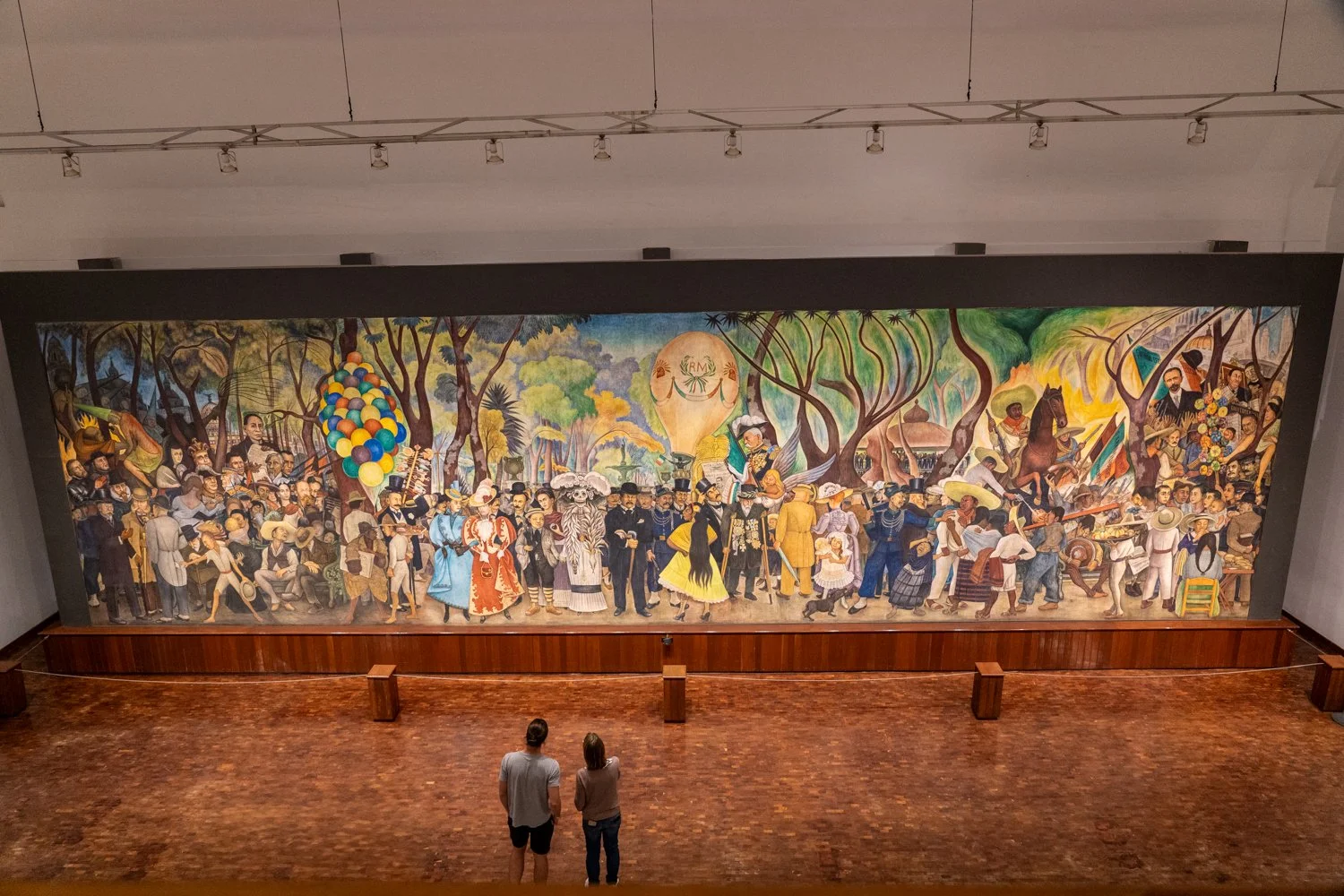
Cancun: The Final Stop


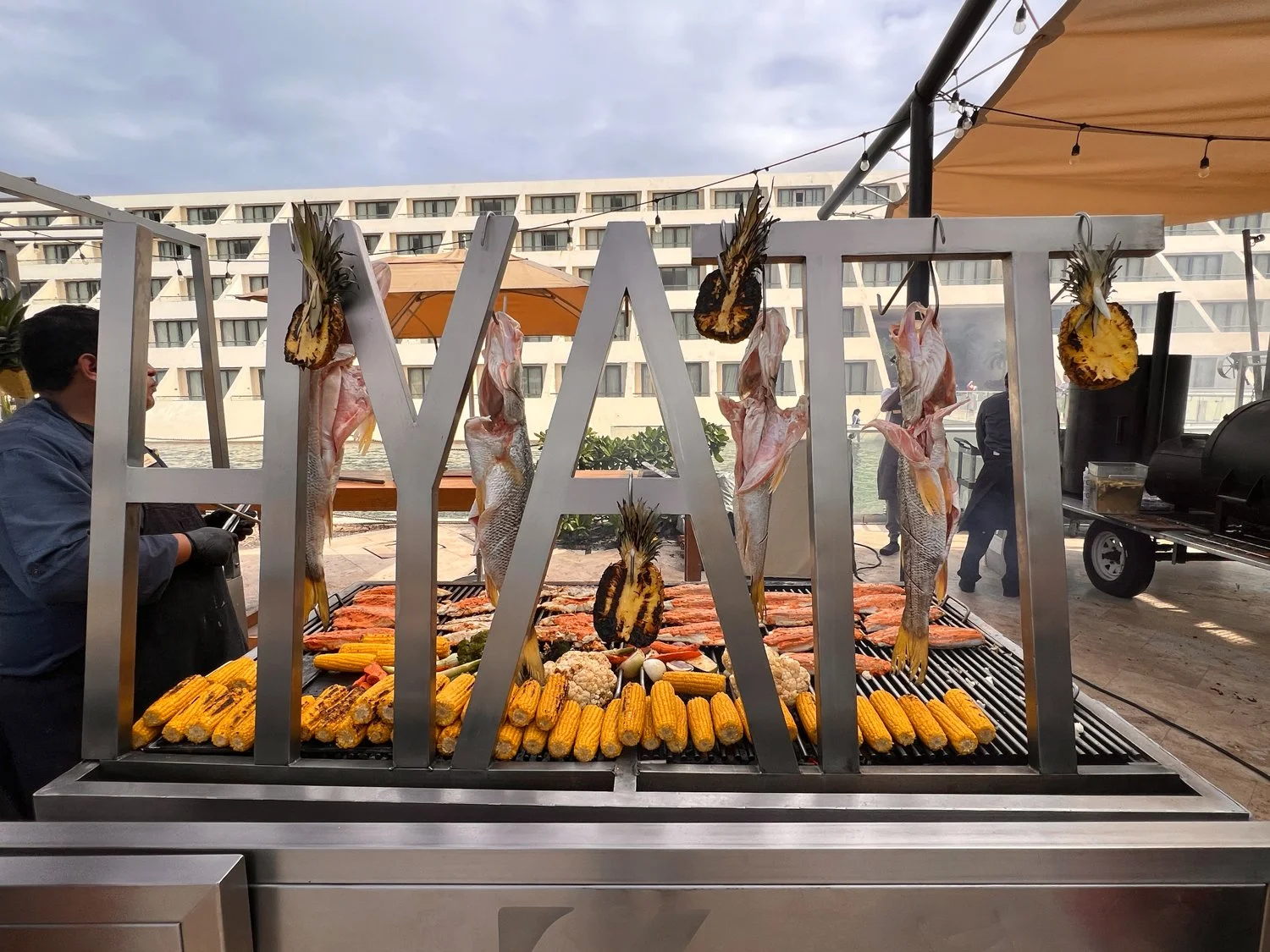
Leaving one all-inclusive luxury resort for another, we head for the Hayatt in Cancun. Unlike most well-to-do tourists who arrive at the Hyatt by private chauffeur, we elected to catch the local bus. This decision, while budget-friendly, also led to some very strange looks from the porters as we trudged up to the grand entrance, backpacks in tow. Their confused expressions made it abundantly clear—no one, and I mean no one, walks up to the Hyatt with luggage. We had barely set foot inside before a well-dressed concierge cautiously approached, wearing the polite yet deeply concerned expression of someone about to ask, “Are you lost?”.
Despite this they let us in for the next 4 days enjoying a dazzling oasis of infinity pools, cabanas, limitless food and yes – tequilas.


From the moment we arrived, we were greeted with warm smiles and flawless service, including having the luxury of having our very own butler named “Jeeves” (not his real name but I am sure that is what his name was if translated). While the service was 5 star, I must say the food was – lets just say – very Americanised (Who knew "quesadilla" could come with ranch dressing?). The pool scene on the other hand was peak decadence.


While the luxury of the lounge pools was up there, we had to go to the top shelf and chose to book a cabana overlooking the beach for an entire day. With a friendly call to any number of staff that were waiting nearby, we ordered everything from tacos and cocktails to a massage. The only thing missing was Jeeves to peel our grapes and fan us with a palm leaf.


If the luxury of the cabana was not enough - what about the serenity of a spa with breathtaking views of the ocean. With a single phone call to Jeeves to get the spa ready, all we had to do was slip into the warm bubble filled tub allowing the warmth to wrap around us melting any tension away (not that there was much at this stage of our holiday).


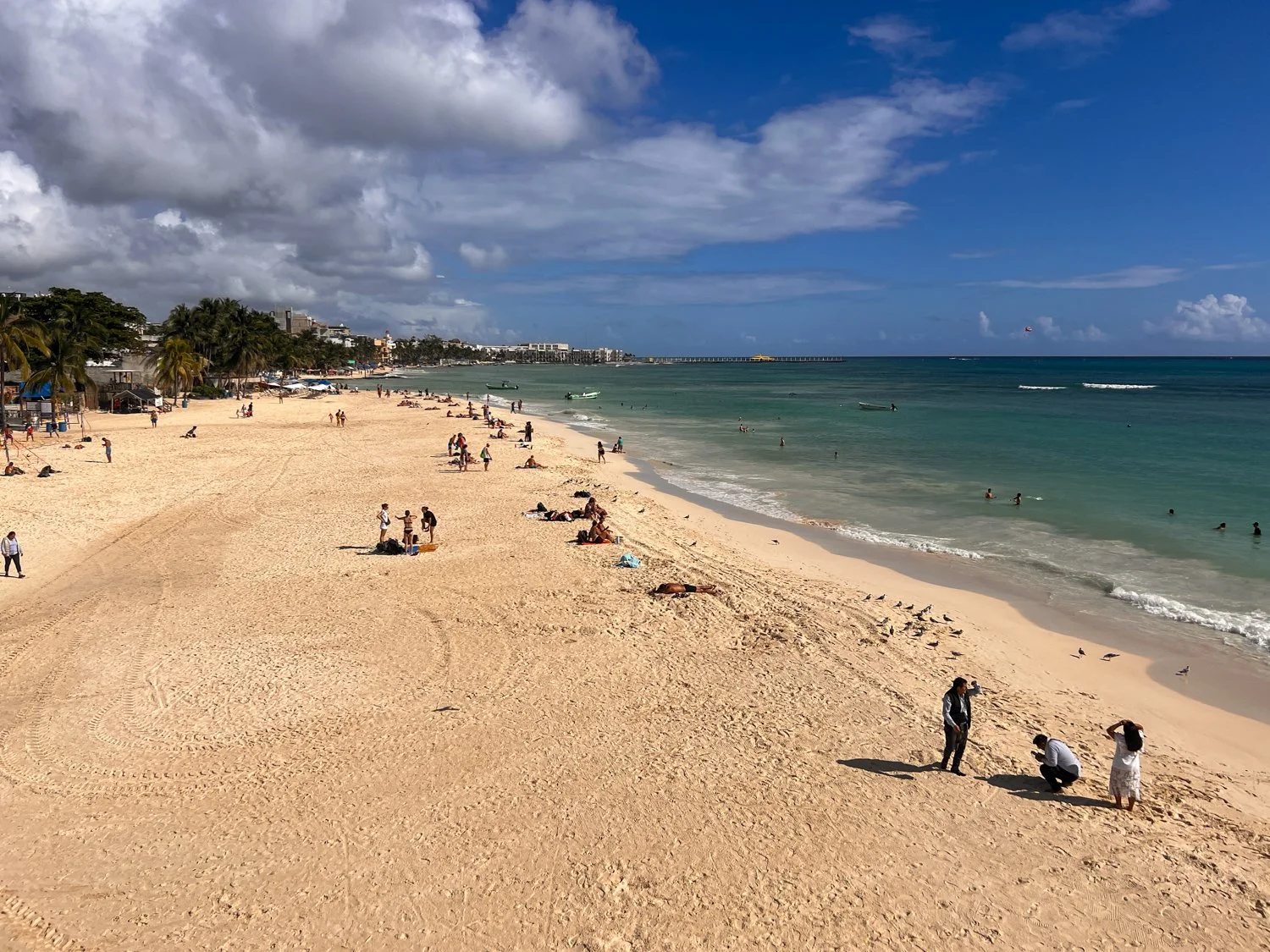
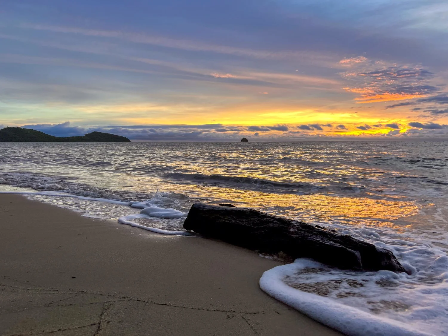
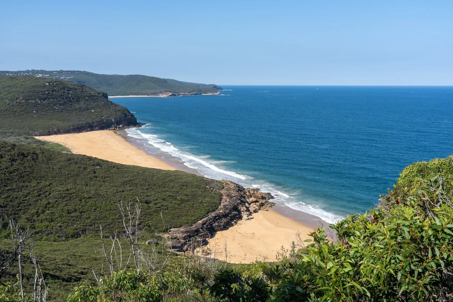
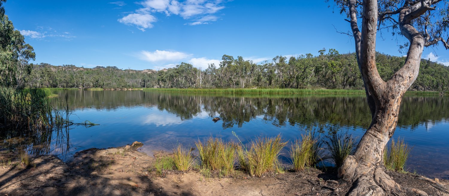
I have always said we are spoilt in Australia due to our amazing beaches. While I am still biased and think there are none better, Cancun comes close. The Caribbean-blue water is so bright you’d swear it has its own Instagram filter. And the sand is whiter than the sunscreen you forgot to rub in properly.


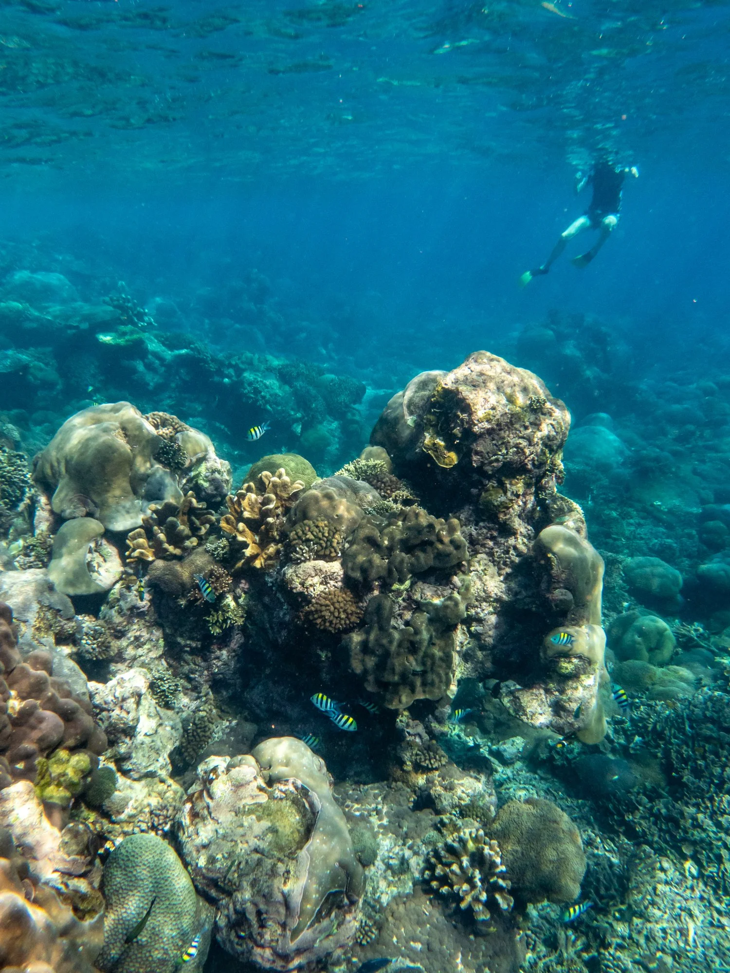
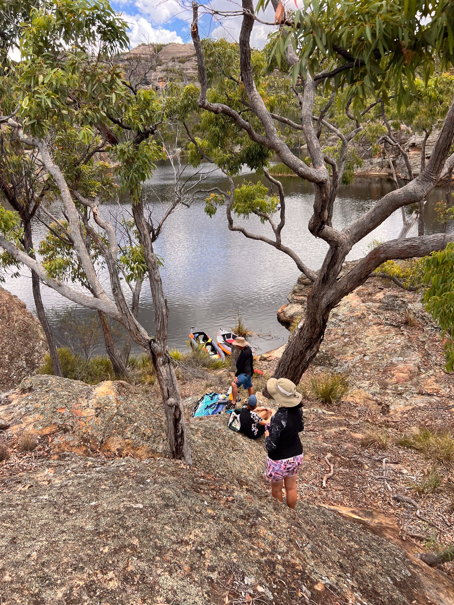
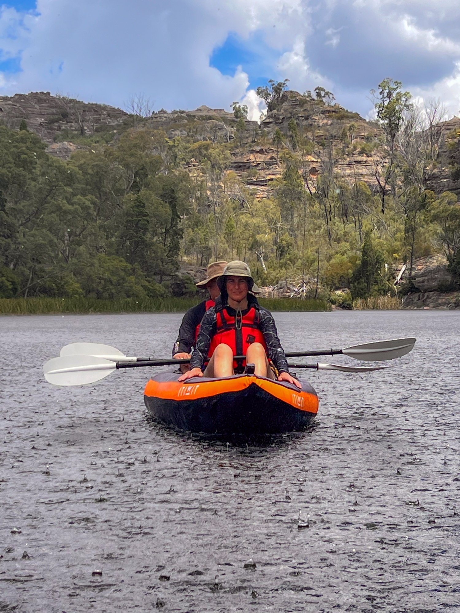
While prying ourselves from the cabana, spa and beach was an effort, we reminded ourselves that this was not why we came to Mexico. Eager to experience some local marine life, we hopped on a ferry to Cozumel, a small island off the coast and joined a snorkellnig tour.


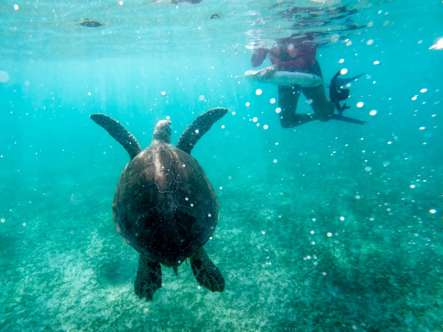
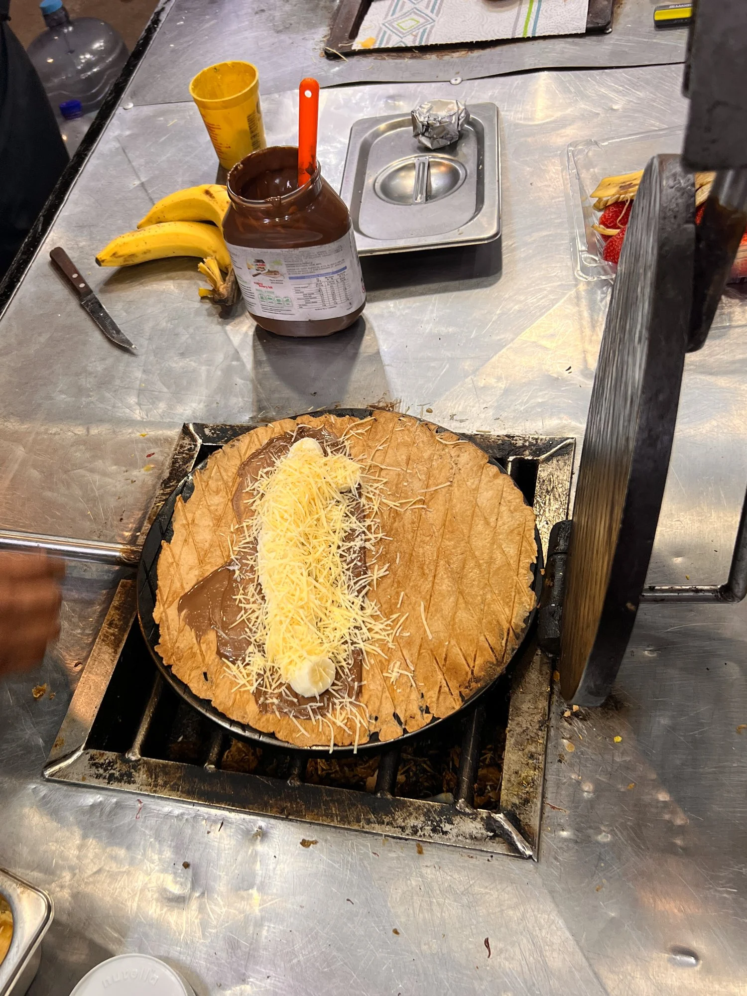
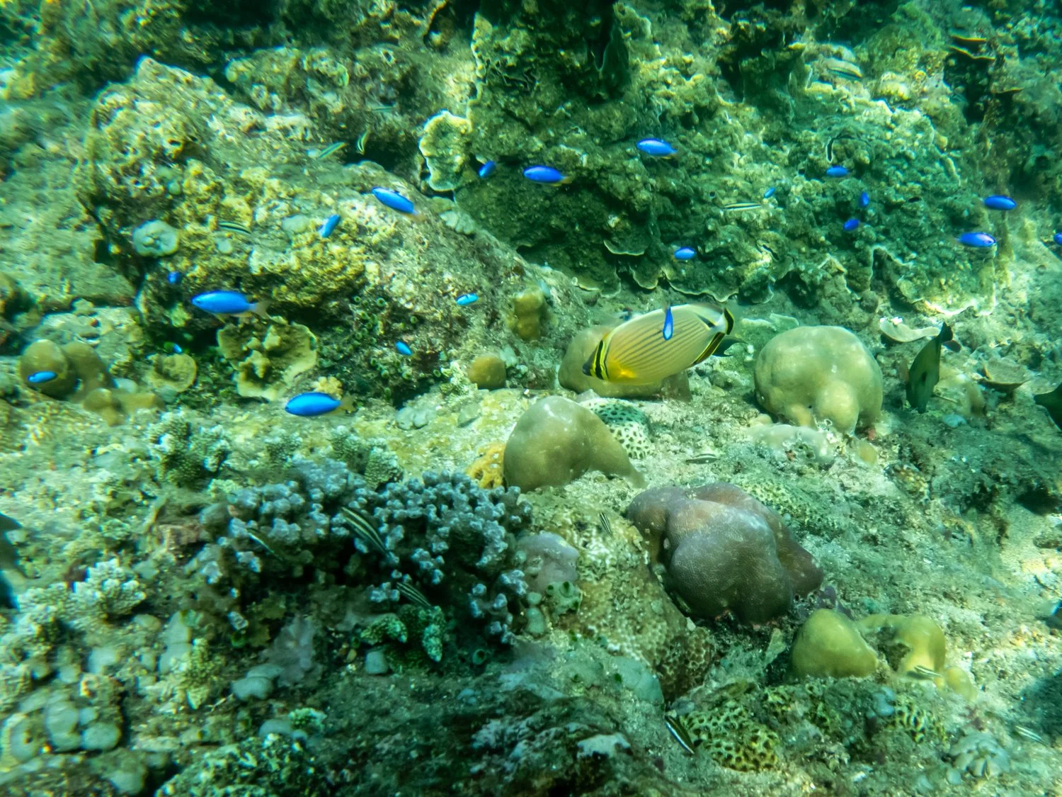
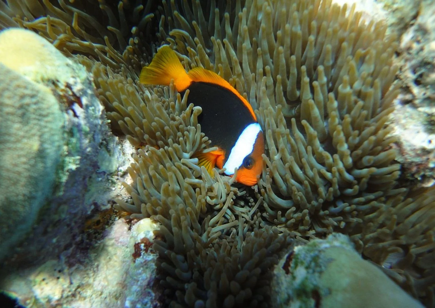
I had heard a lot about snorkeling and diving in the Coral Sea so snorkels in hand, we jumped in the water expecting a vibrant underwater fiesta of fish, coral, and the occasional curious sea turtle. Instead, we drifted over a vast expanse of ….. absolutely nothing. Unlike our previous snorkel at Akumal Bay, water quality was not the issue—visibility was perfect in the crystal-clear sea. The problem was that there was simply nothing to see.


The highlight of our aquatic safari? A lone, motionless starfish, who looked as unimpressed with us as we were with him. It was like paying for front-row seats to a Broadway show only to watch a janitor sweep the stage.


I shouldn’t be so harsh, though. The tour operators must have sensed our disappointment, as we soon found ourselves anchored in a shallow bay where the main activity was… drinking beer in knee-deep water. Clearly, we had booked the party boat.
But this time, the crystal-clear water worked in our favor, as we suddenly noticed more than ten stingrays gliding between our legs. While flashes of Steve Irwin’s untimely demise flickered through my mind, the rays seemed far more interested in our beers than in stabbing anyone. I half expected one to place an order for a Corona.


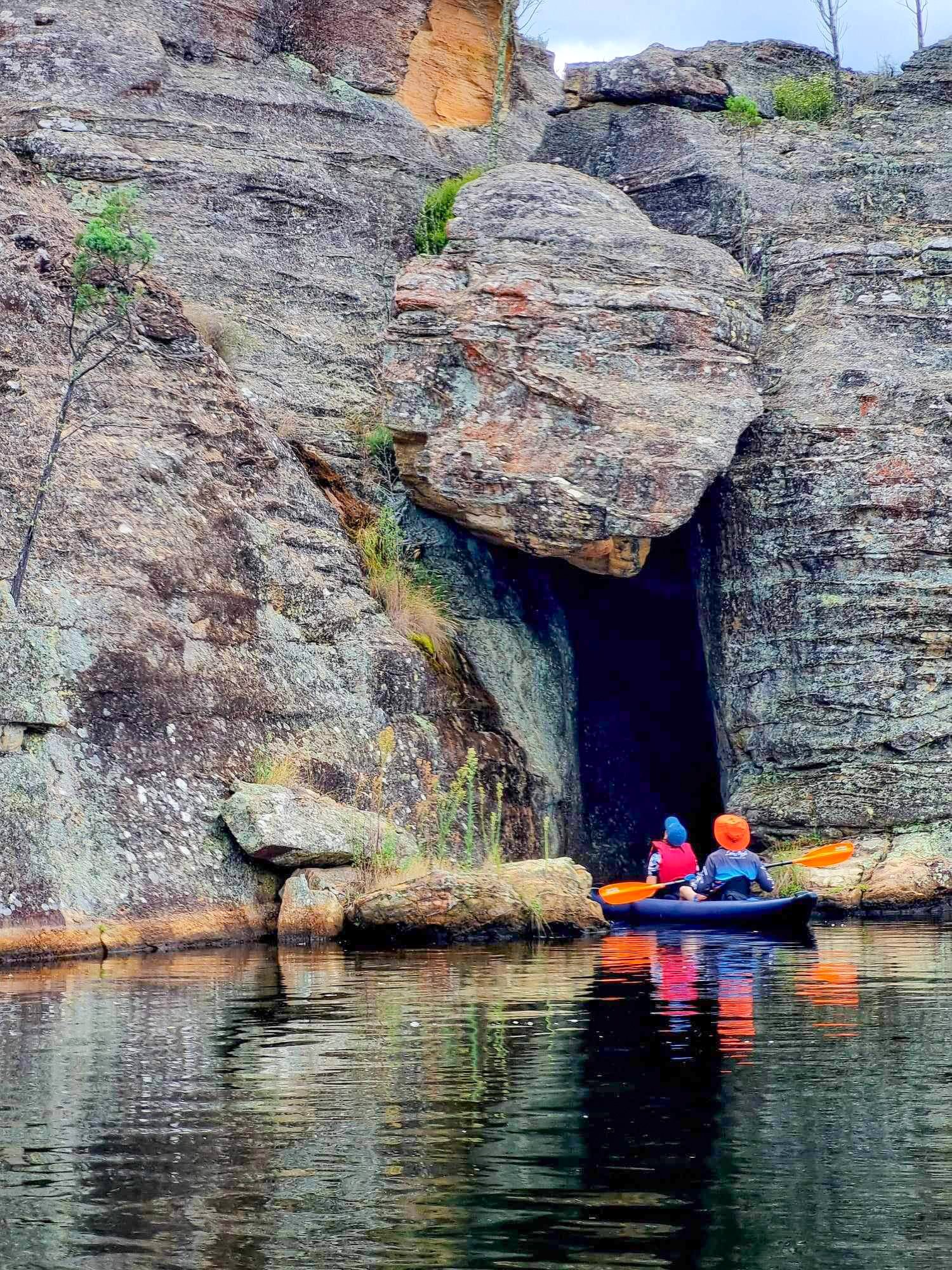
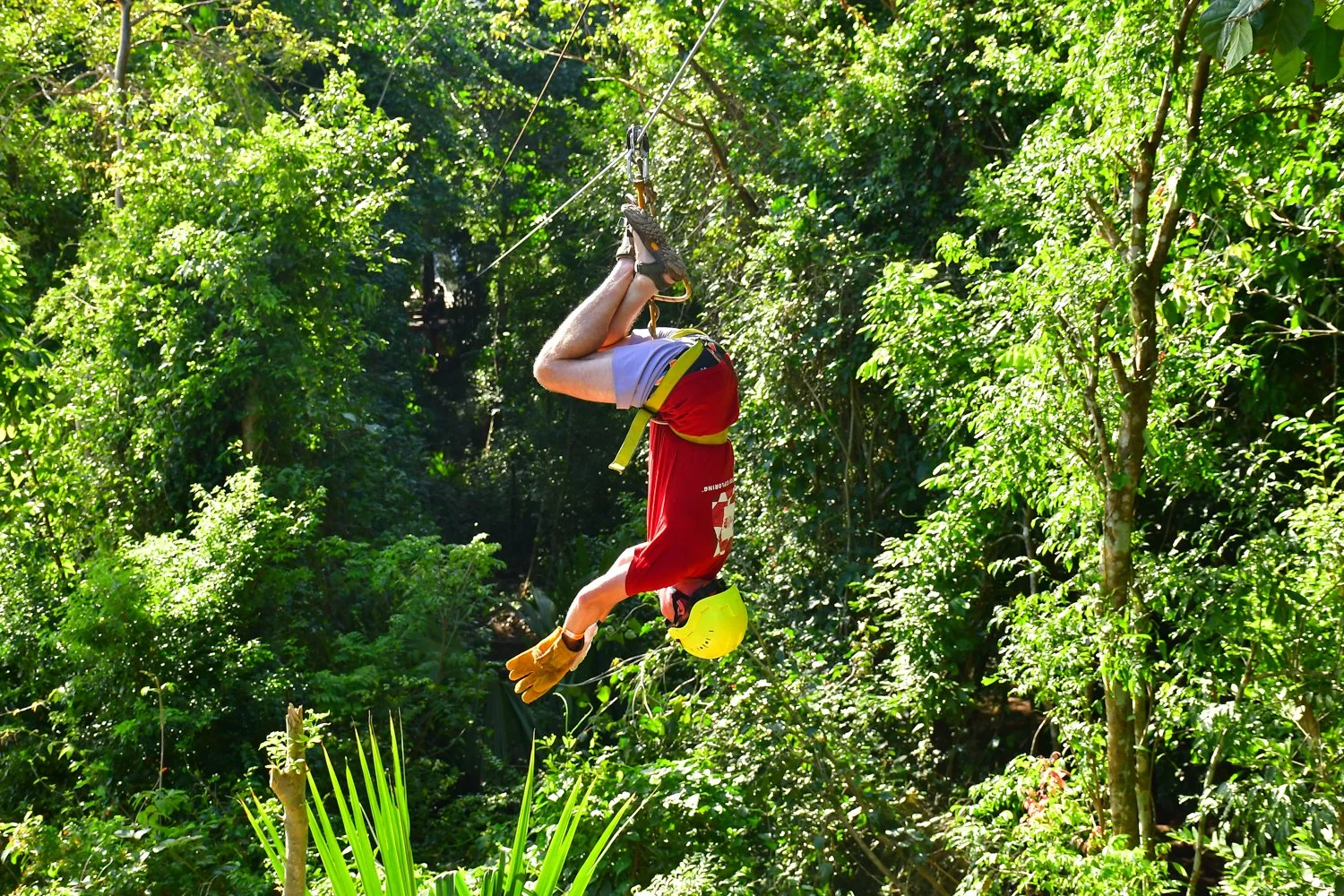
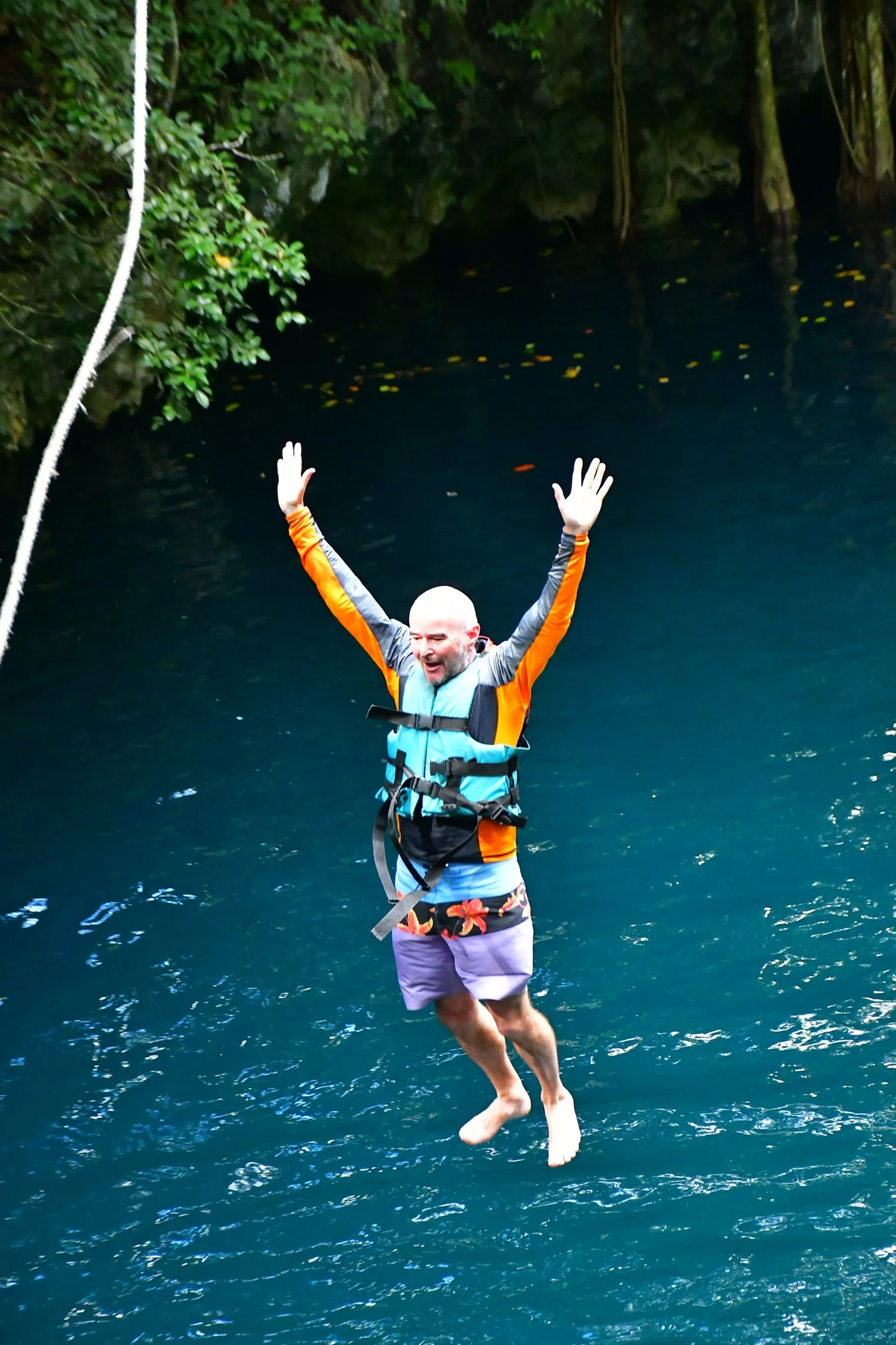
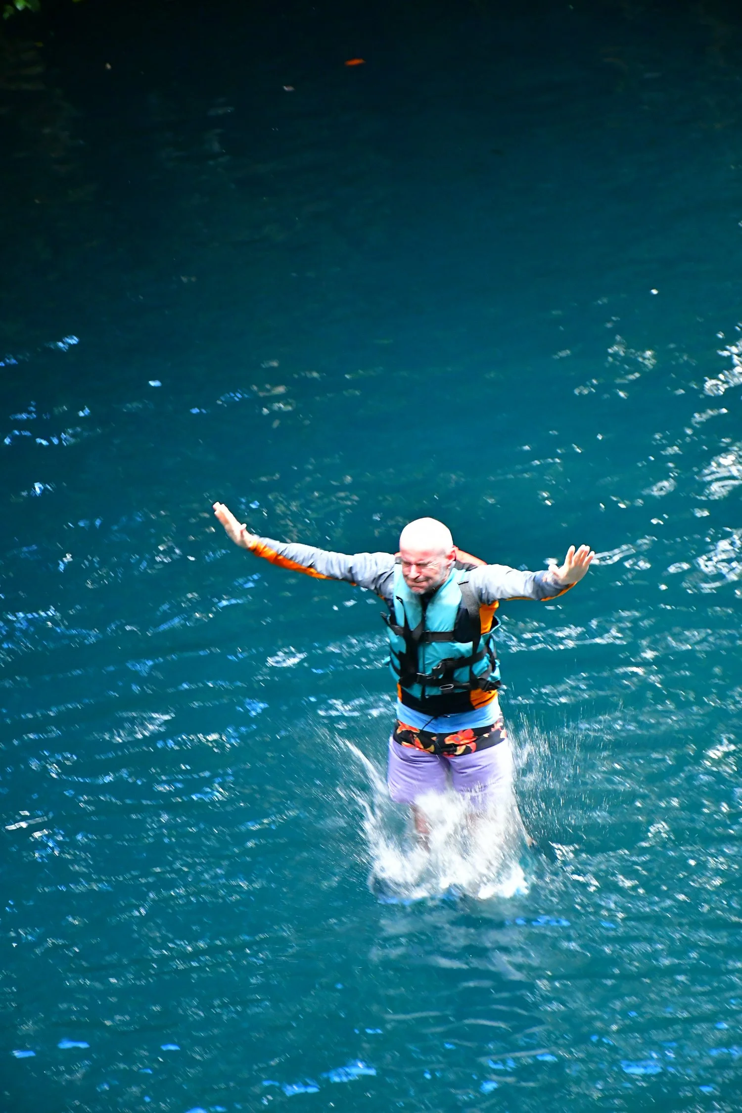
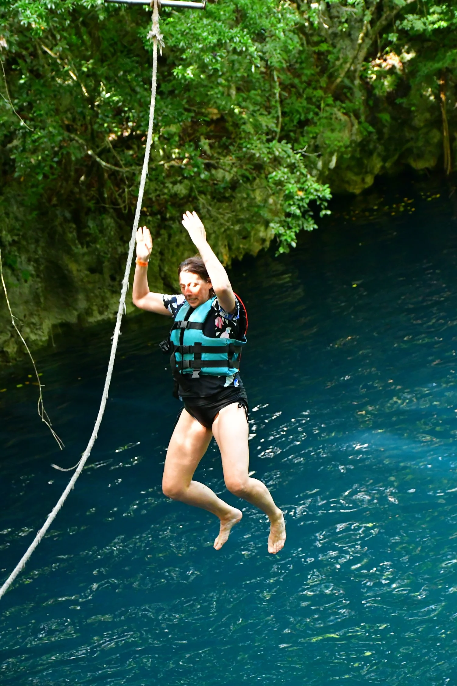
Determined to get some "adventure" into our itinerary, we booked a day at Extreme Adventure Eco Park—one that promised quad biking, zip-lining, and cenote diving. This was a jungle-themed Disney park, complete with overly enthusiastic guides, safety helmets, and waivers longer than the Old Testament. Despite this, the zip lines were fun, the quad biking exhilarating and the cenote was slightly more adrenalin pumping than the Hyatt pool. At no point did we feel like we were in Mexico (unless Mexico had recently been purchased by Universal Studios) but it was a great way to spend the day.


The last word
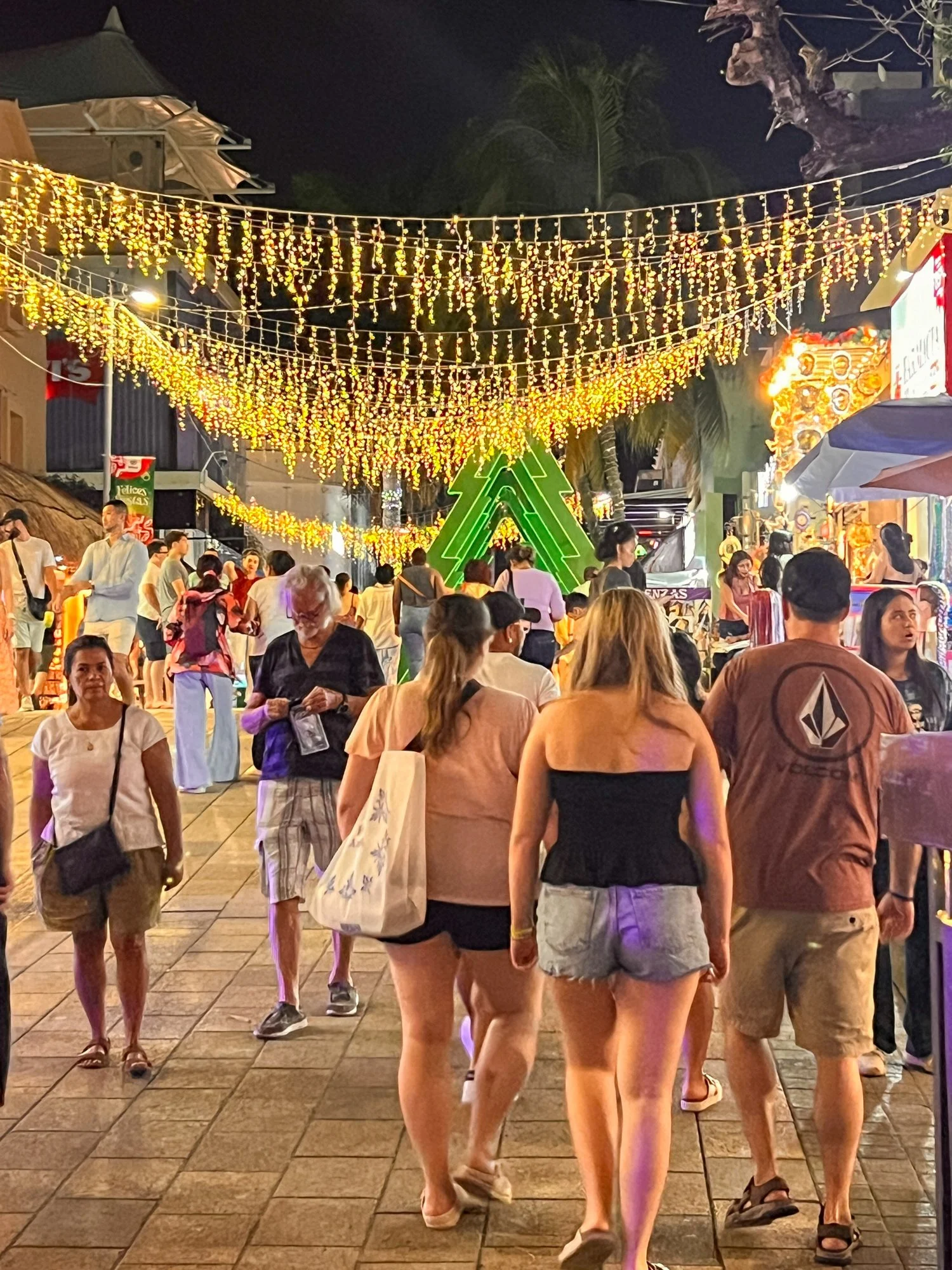
After a week of over-sanitized, tourist-tailored experiences, we came to a conclusion: Cancun and Playa del Carmen are perfect for spring breakers, bachelor parties, and anyone who wants to visit Mexico without actually encountering Mexico. The real magic lies beyond the all-inclusive resorts.
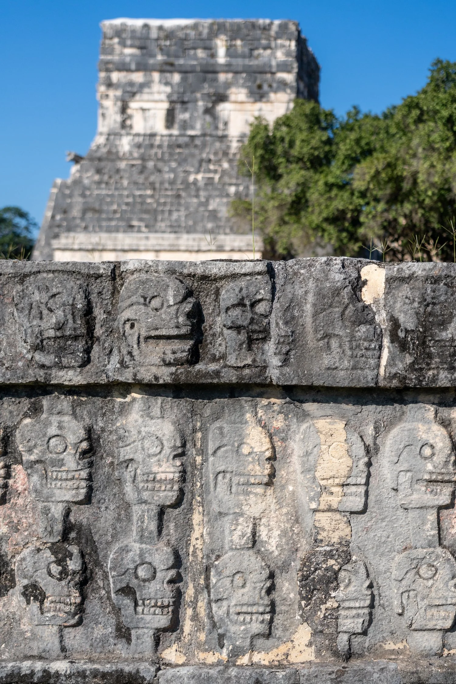
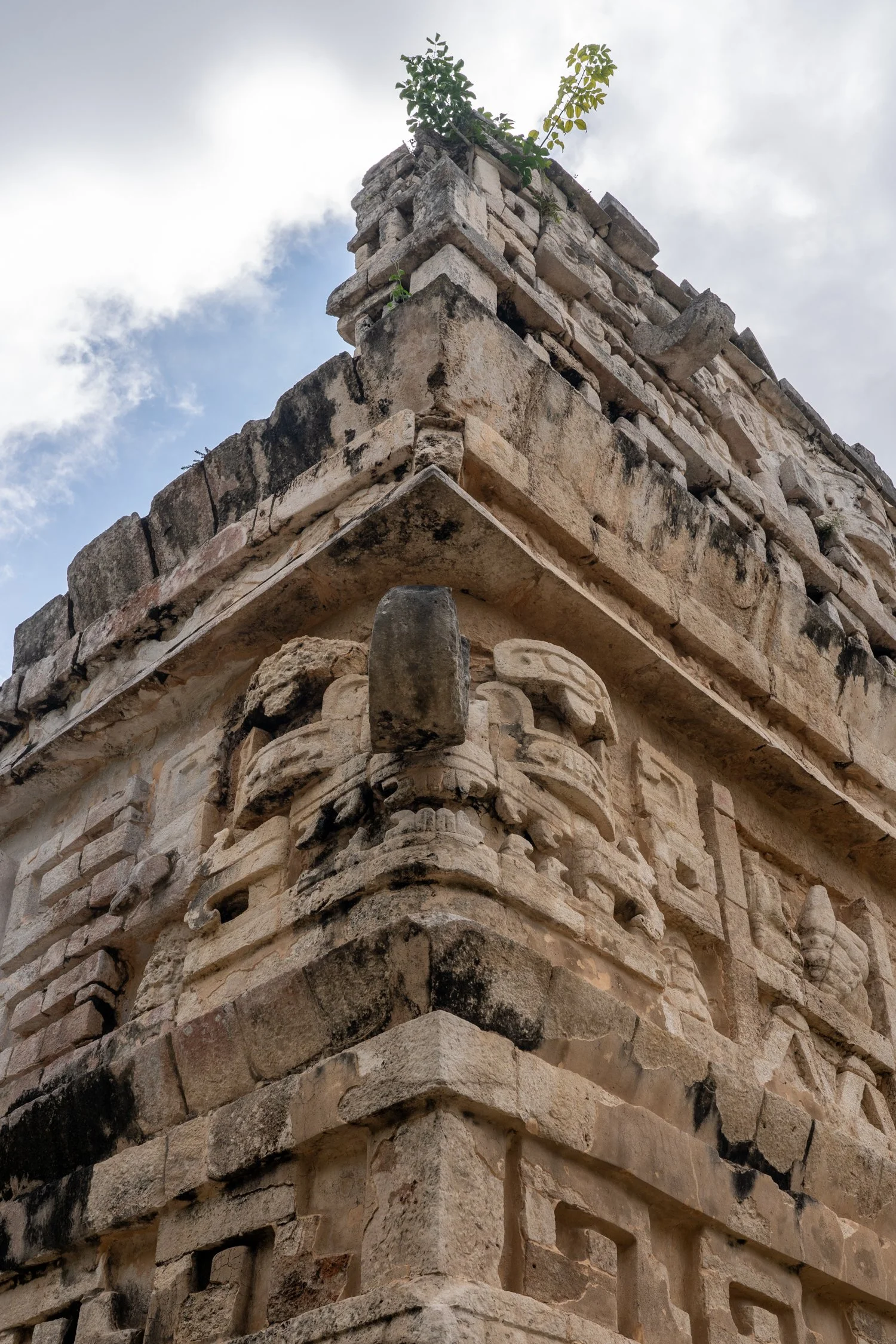
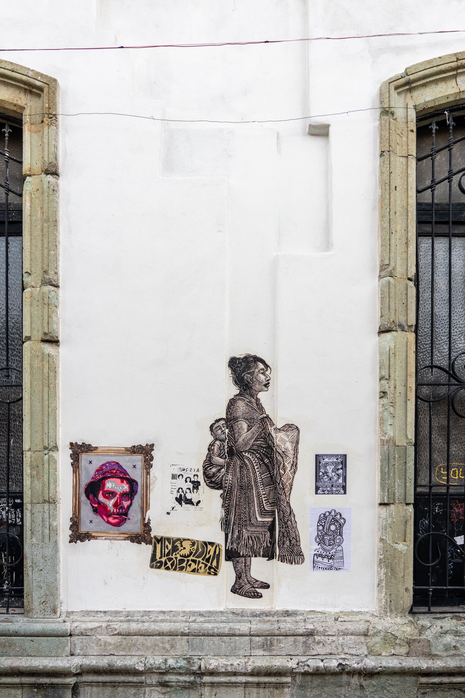
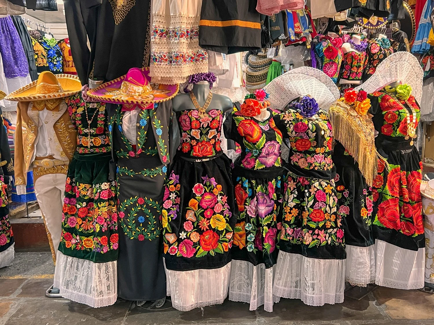
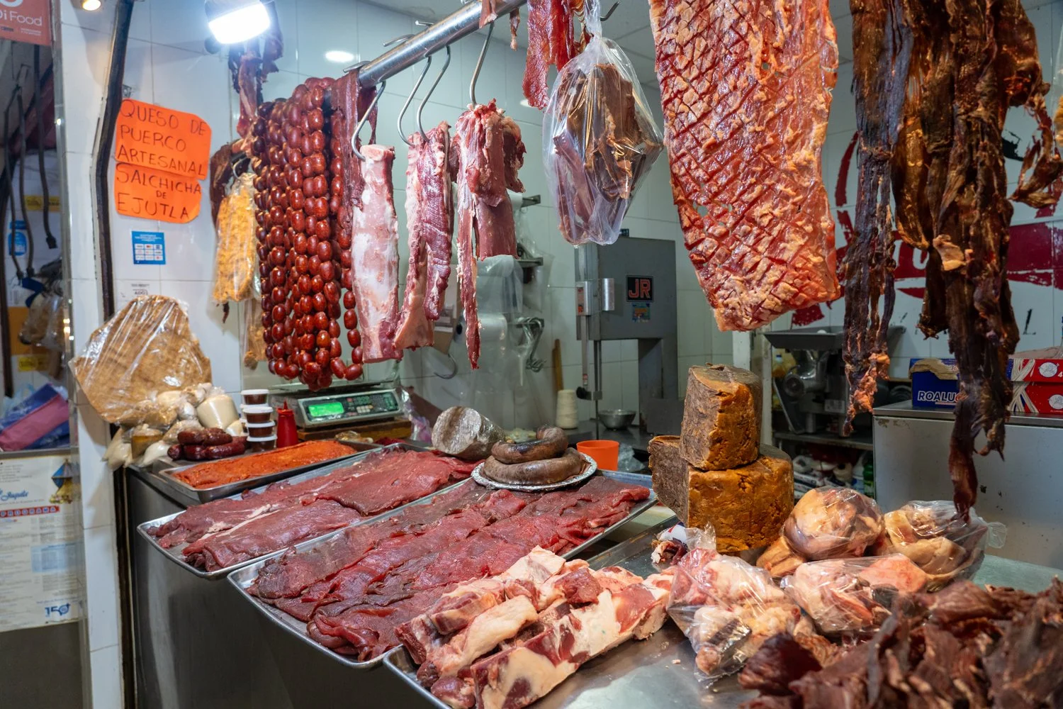
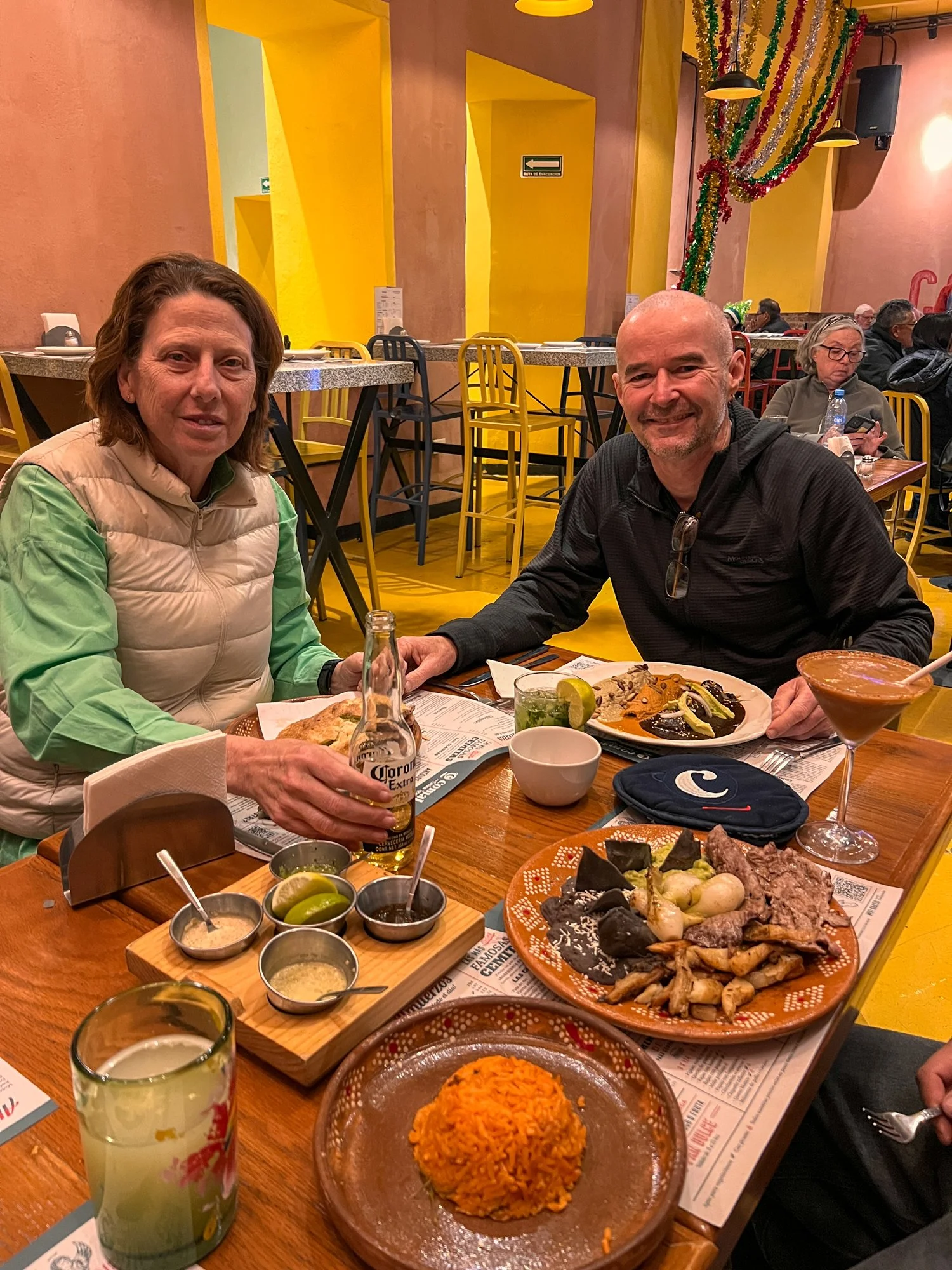
The rest of Mexico? Absolute perfection. From the vibrant streets of Mexico City to the awe-inspiring ruins of Palenque, from the culinary delights of Oaxaca to the mezcal-soaked nights in Puebla—Mexico is breathtaking, welcoming, and rich with culture. And as for all those horror stories about safety? Completely overblown. The only real danger we faced was the calorie count we would need to loose when we return home.
So, should you go to Cancun? Only if you're 19, wearing a “Bride Squad” sash, or have a deep love for overpriced cocktails. Otherwise, do yourself a favour—see the real Mexico. It’s worth every peso.