Turquoise water, blindingly white sand, native wildlife and flora in full bloom - What’s not to love about Jervis Bay?


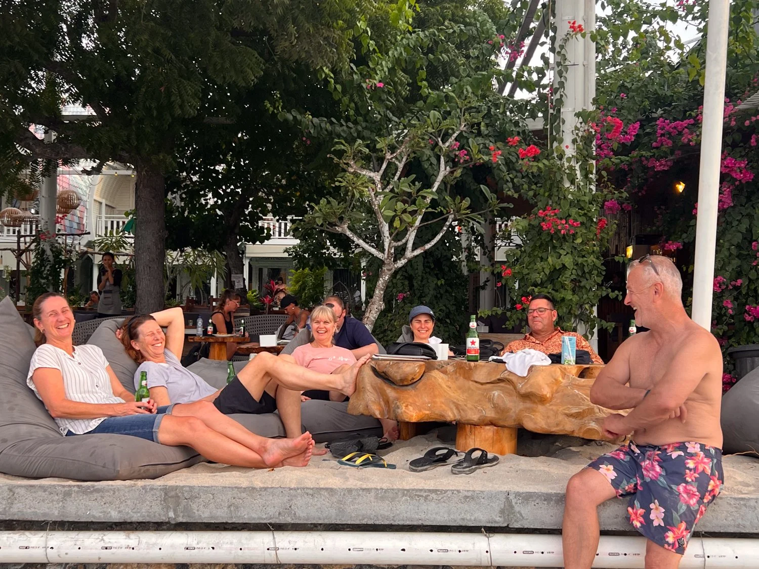
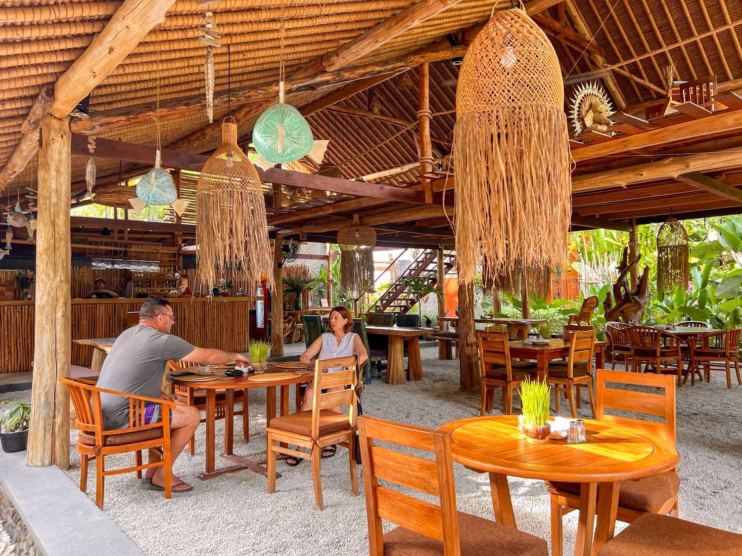
Deciding to take the luxury path, we book a B&B with a group of great friends to spend the weekend exploring this small slice of paradise.
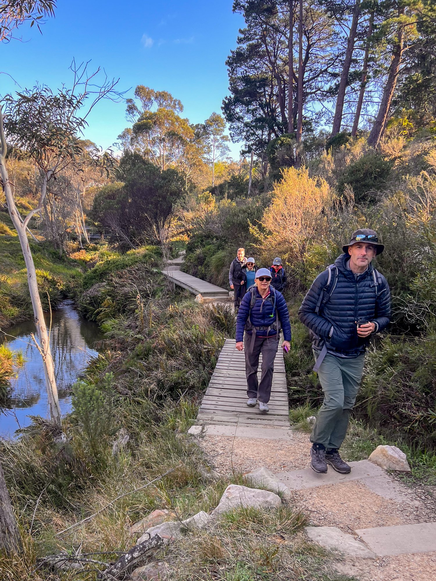
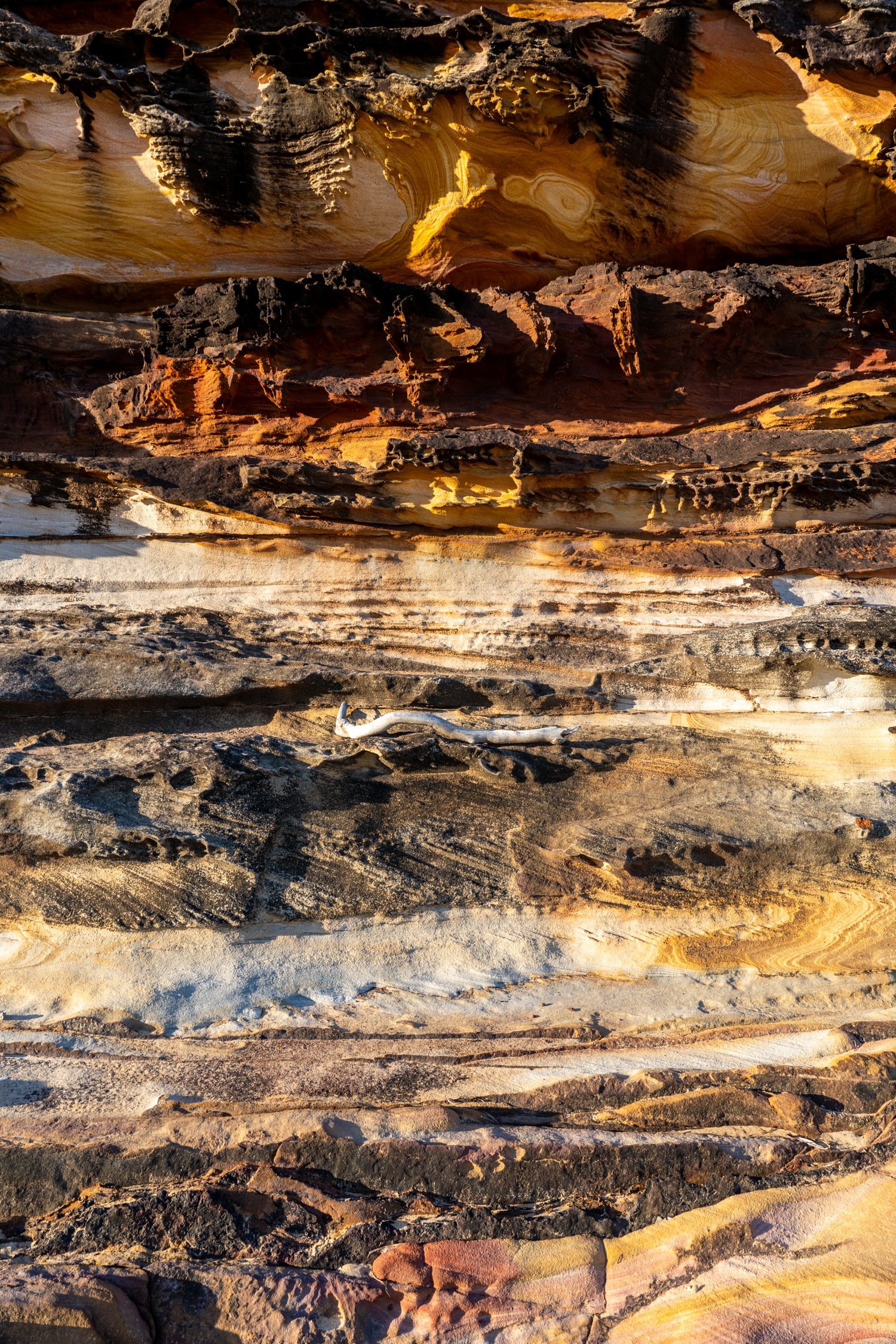
One day is spent doing a leisurely stroll along the Scribbly Gum and White Sands Walking Track, which provides a mix of sublime coastal scenery interspersed with towering gums.


No trip to Jervis Bay is complete without a stop at Hyams Beach—home to what is allegedly the whitest sand in the world. Whether or not that title is scientifically accurate or just a very confident marketing campaign, one thing’s for sure: it’s white. So white, in fact, you’ll need sunnies just to look at it. Combine that with crystal-clear water you’ve got yourself one of the best beach experiences in Australia.


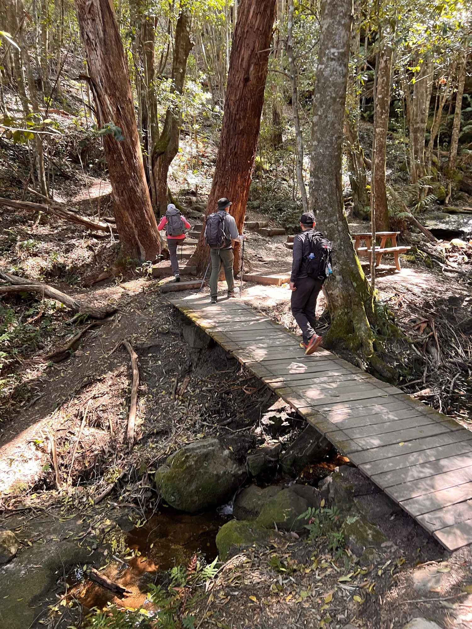
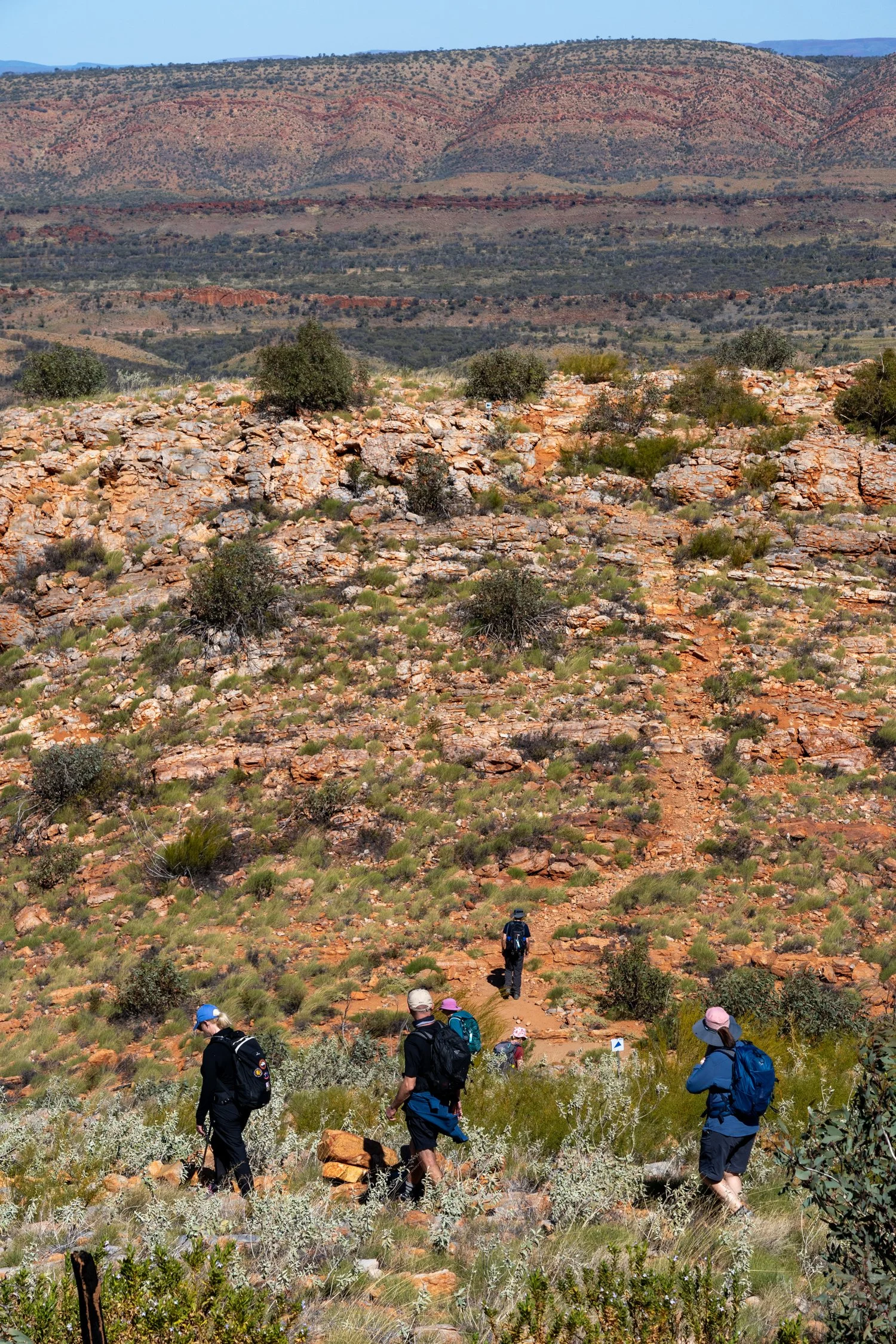
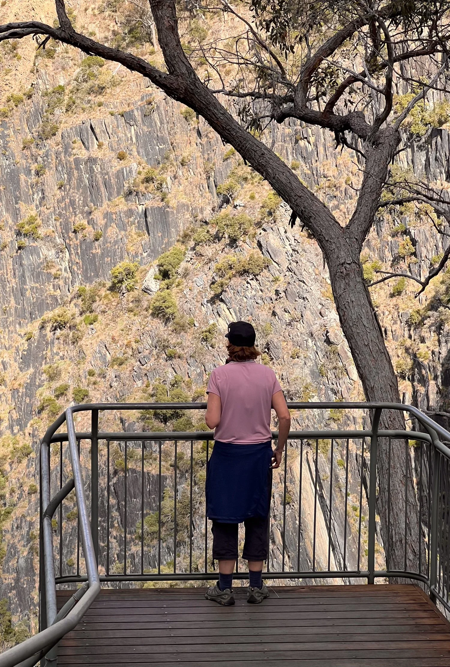
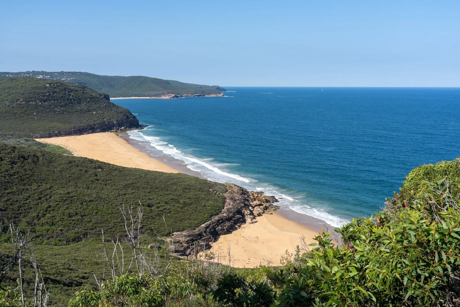
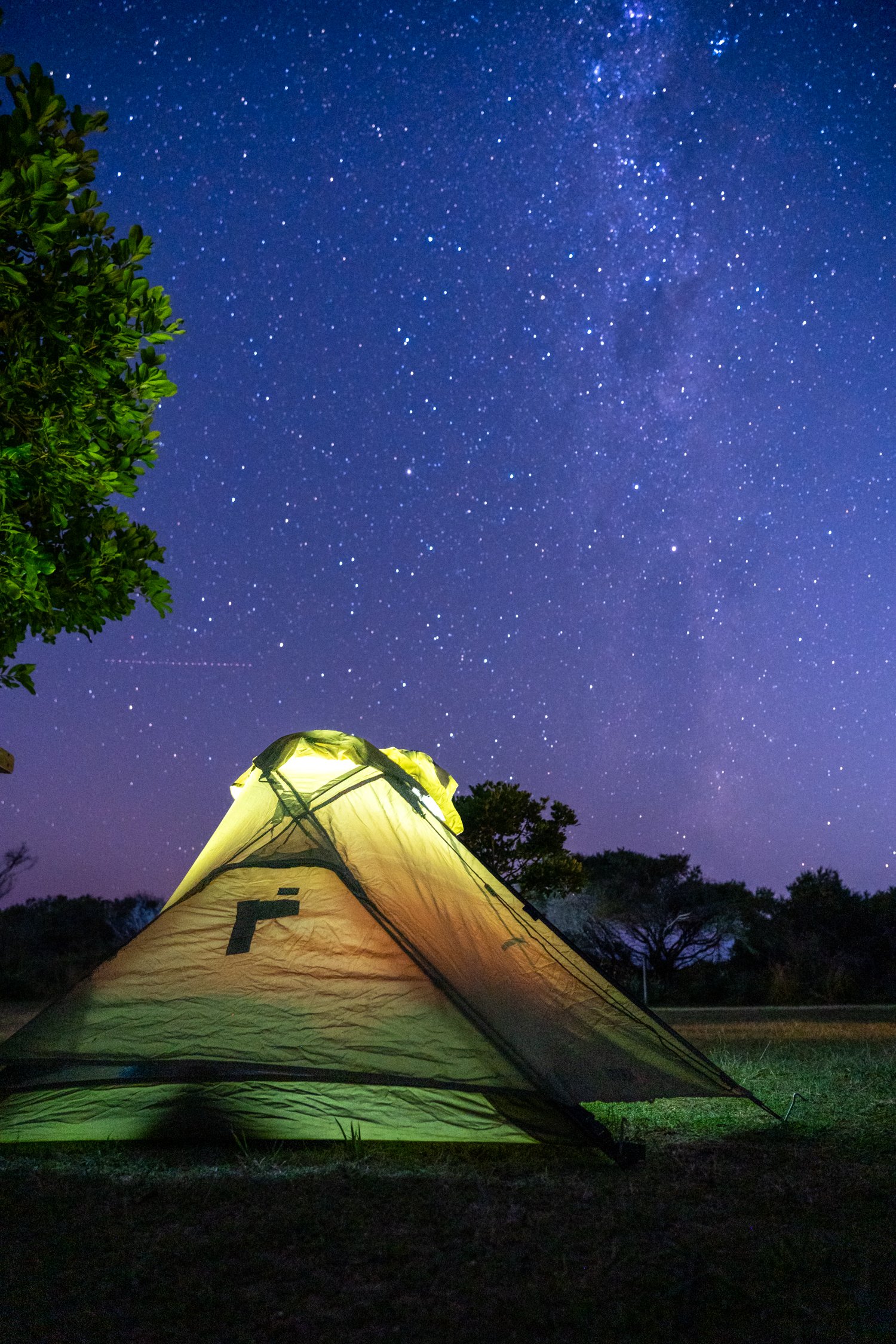
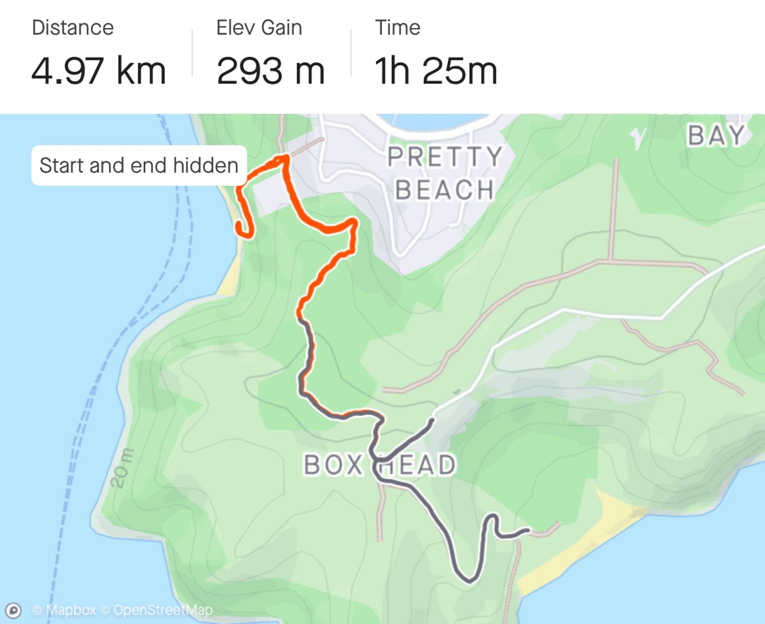
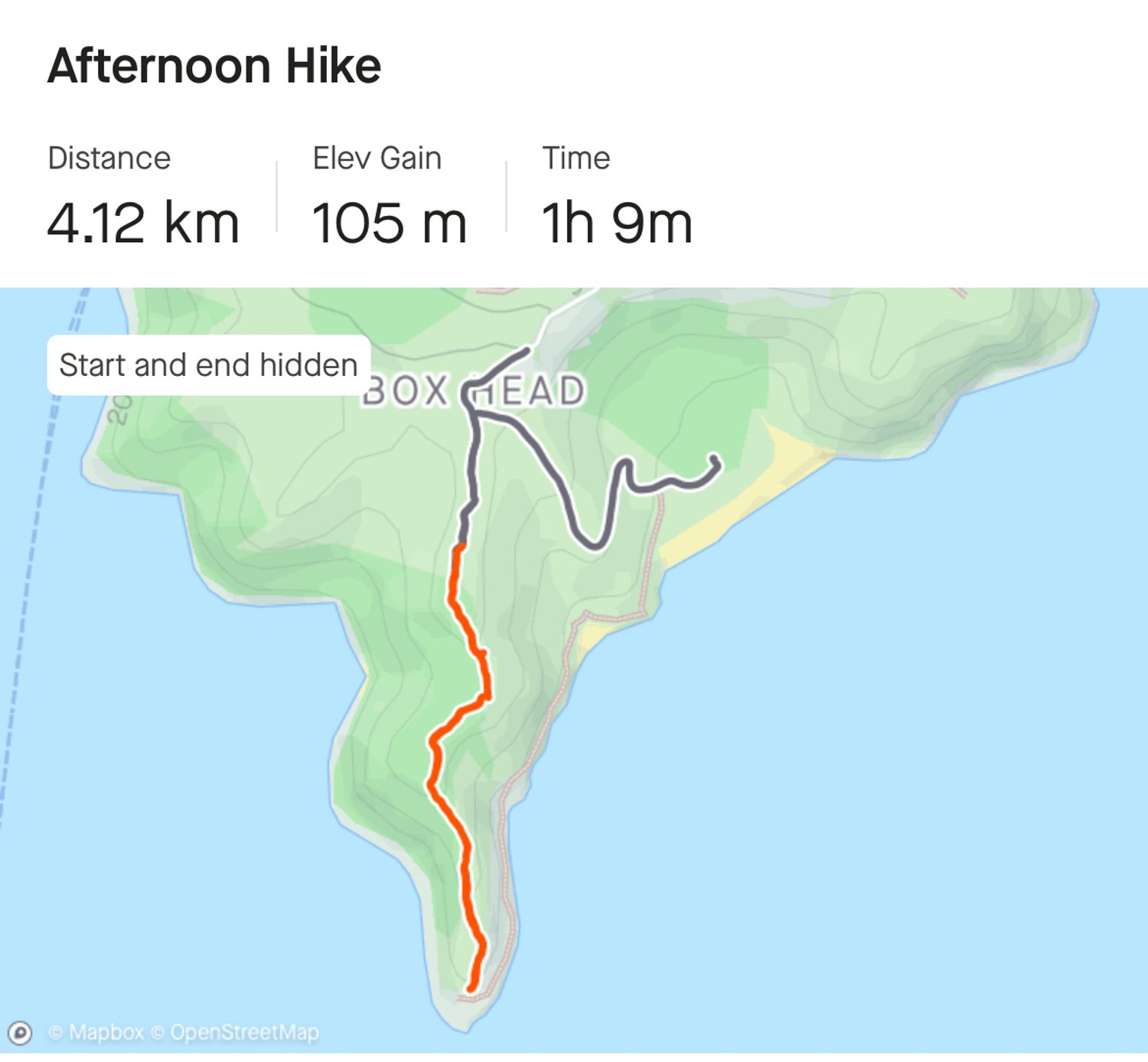
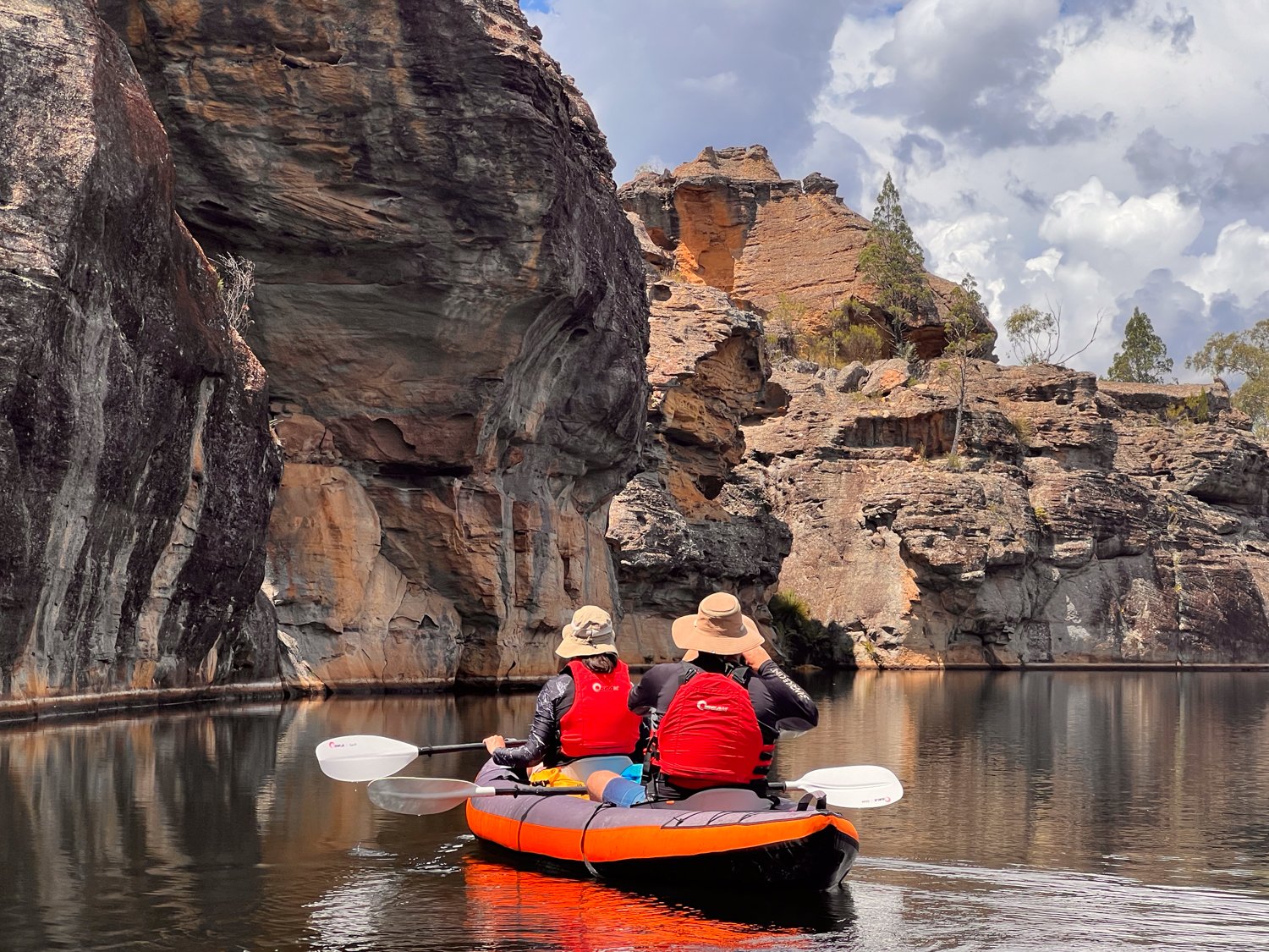
But if you are after something a little more challenging there are a range of hikes in Booderee National Park, the crown jewel of Jervis Bay. We set out on the hike to St Georges Head, a 14km-ish out and back (we opted not to do the loop track) that starts gently enough, luring you in with birdsong and fresh eucalyptus air.


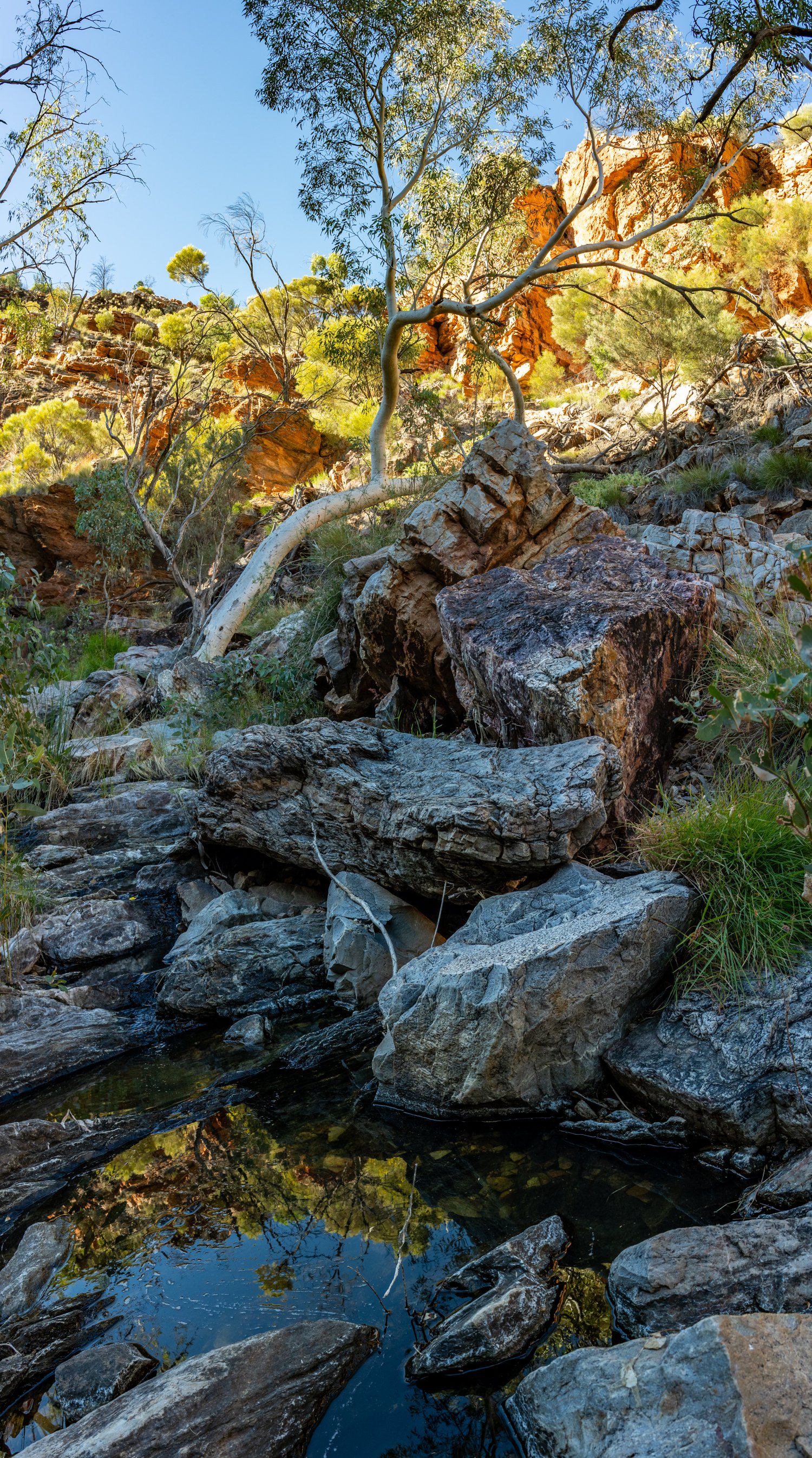
There is the occasional rewards with panoramic views over Steamers Beach and Brooks Lookout as well as other small bays along the way.


One advantage of this hike is the smug satisfaction of having walked somewhere fewer people go (mostly because they’re still sunbaking at Hyams Beach). While there may not be many hikers on the track, there is definitely locals as I turned a corner and boom—a kangaroo. This one was indignant to these humans on her track. We had a brief standoff, but in the end, I offered a polite nod and it reluctantly hopped in to the adjacent bush annoyed at this interruption to her day.
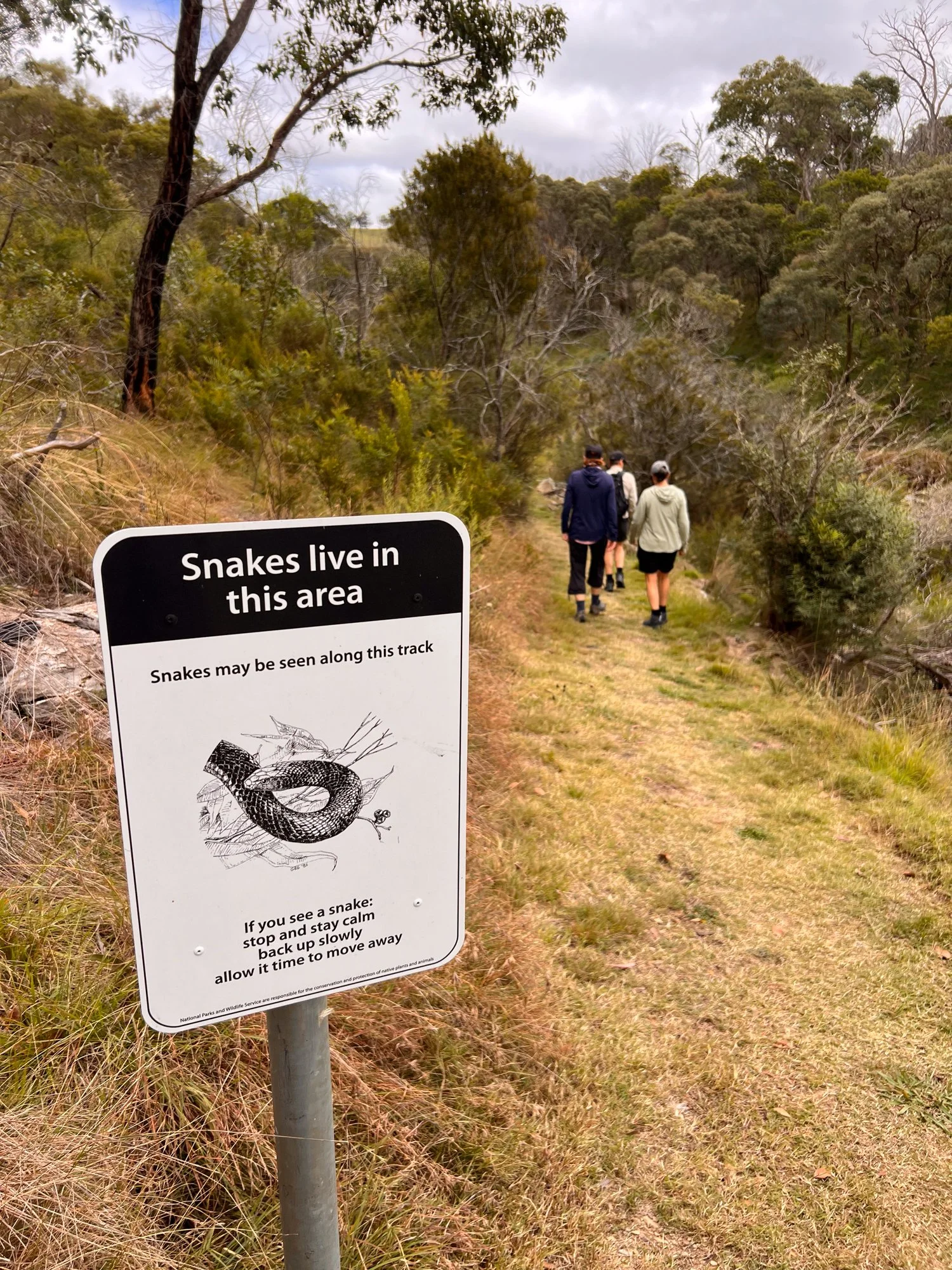
Walking back we come across another local – this time one less friendly - a red belly black snake. While I managed an awkward ninja leap that would have made my Year 7 PE teacher proud, one of our travelling companions tried the technique – “if I don’t look at the snake it is not there”. Unfortunately she ran half way then decided to stop directly in front of the snake freezing in fear, before making the strange decision to return from where she came. This only meant she had to make the mad dash one more time, likely annoying the snake even more.
Luckily it seemed more interested in lazing in the sun not even moving despite the traumatised scream of its annoying intruder.


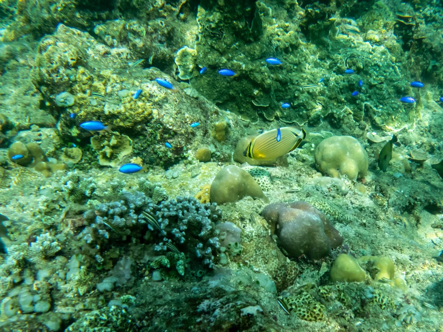
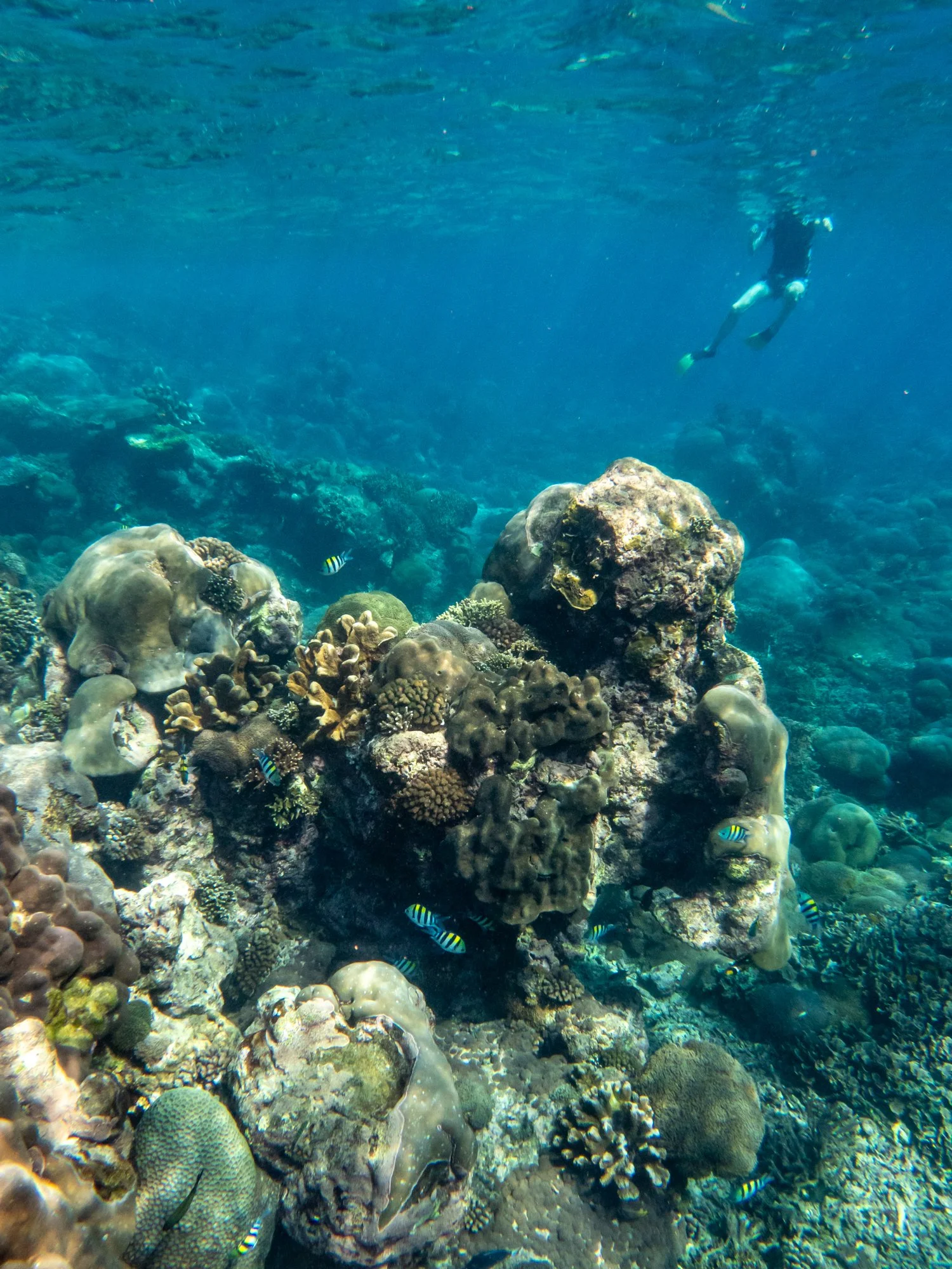
We only had a couple of days but have made the decision to return here again to not only explore more of the tracks, but next time brink the snorkel gear in the hope of meeting some more locals.