This story was published in the May 2015 Issue of 4WD Touring Australia. This is the second part of a 3 month journey from Sydney to Darwin and back. To read a full account of the trip and view photos and videos go to To Darwin By Dirt.
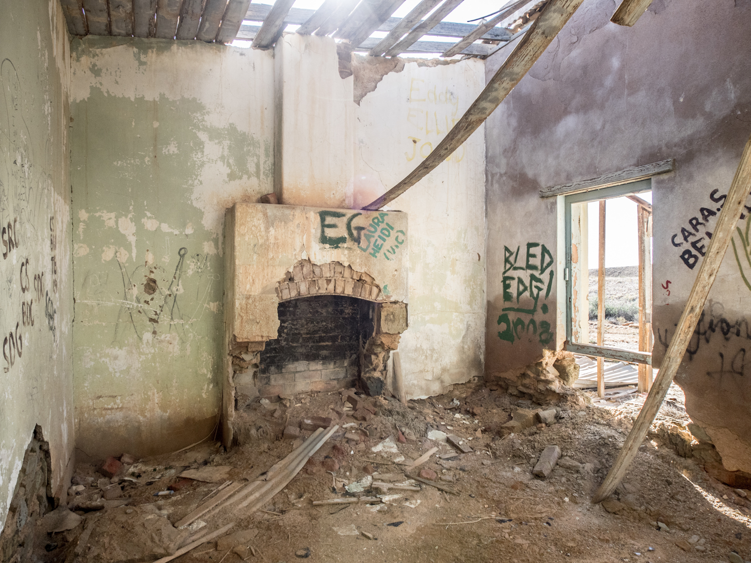
The crumbling limestone walls are slowly eroding back to the earth from which they were extracted. Their long shadow the only reminder of the building that was once a barrier to the extreme heat and cold protecting Edward Meade Bagot and his family. An iron rusted tool part buried in the ground is the only sign of the time sheep, cattle and goats were raised on the thin covering of salt bush. Standing looking at the Dalhousie Ruins, on the road between Oodnadatta and Mt Dare, it was unsettling to read Captain Whites description of the homestead in 1914 – “The solitude and depressing aspect of the place have sent former managers to sit and cry like children”.
My trip from Sydney to Darwin and back was to take me on a stretch from Yunta, in South Australia, to Alice Springs following the Oodnadatta Track and Old Ghan line. One of the features of this iconic outback track are the numerous buildings and rail ruins that litter the landscape, each one a distinctive relic telling a story of our early pioneers battle to survive.
Having met up with relatives (it always pays to travel with another vehicle in these remote parts of the centre) our first camp was at a pub called Waukaringa not far from Yunta. Unfortunately it was not possible to get a beer as they stopped selling it in 1855. The township once boasted a population of over 400. Now all that remains are the carcass of the Pub and the numerous mines shafts, large chimney and other mining remnants that puncture the rocky earth.
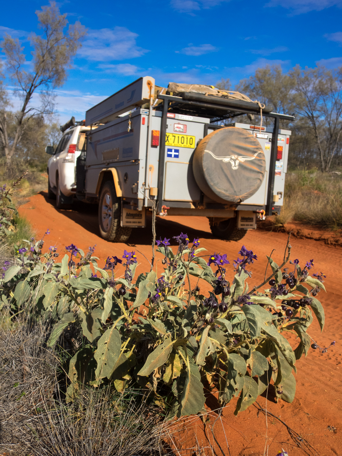
From here, the Frome Downs Track through to the Gammon Ranges National Park is well maintained due to the gas trucks that travel to the Moomba and Gidgealpa gas fields. So wanting to test the suspension, we took a detour north of Curnamona to the Erudina woolshed. While not yet a ruin, the shed and shearers quarters have changed little since the early ringer sweated in these wrought iron saunas. Heading east from the woolshed we meandered through open country, two small wheel tracks lined with Sturts Desert Pea, their black and red stooping petals on a dark green rambling carpet a stark contrast to the sands.
Back on to the Frome Downs Track we passed the vast salt lake of Lake Frome finally reaching the rugged Gammon Ranges, their deep gorges part hidden by the imposing range. While many head further north to Arkaroola, our journey was to take us along part of the Wortupa Loop Track through the Weetootla Gorge and Manyi Range. The track descends in to valleys and across stony dry river beds then cresting peaks revealing all the glory of twisted and buckled rock formations that have been thrust upwards over millions of years.
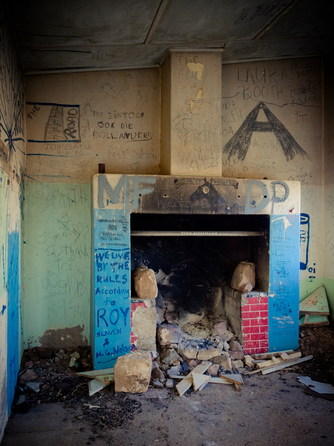
Coming across the abandoned homesteads of Yadnina and Yankaninna, we were again reminded of this unforgiving land. We spent the night discussing what may have caused their demise as there were many unknown stories hidden in the crumbling walls and dilapidated furniture which we will never know. Leaving the Gammon Ranges, we made our way to Leigh Creek for a quick refuel before tackling the next leg – the famous Oodnadatta Track.
Early explorers looking for the inland sea were disappointed in finding endless salt pans. But they did discover natural springs originating from the sea of fresh water under their feet called the Great Artesian Basin. Much like the aborigines of the past, the early settlers followed this life line in to the interior. Our first stop was Blanche Cup Springs, part of Wabma Kadarbu Mound Springs Conservation Park. Here a circular pool sits atop a mound that has grown over the eons as a result of mineral deposits being brought to the surface. From here it was only a quick drive on to Coward Springs and a dip in the hot tub to wash of the dust. While this has a great paid camp site, there are numerous free spots to stop along the track with creeks lined with coolibahs and gidgee trees providing welcome shade.
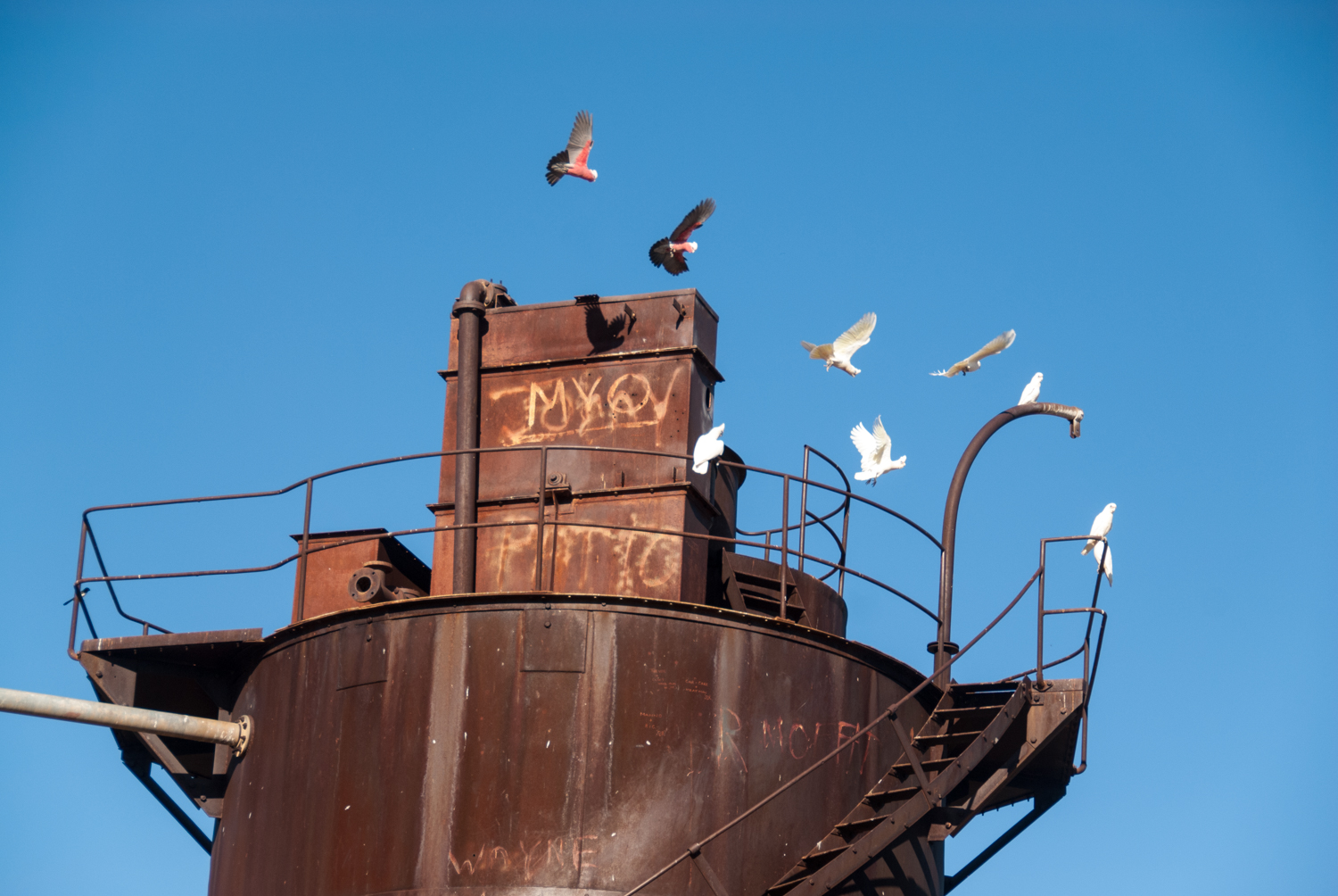
These natural springs are also the reason the Ghan was able to venture this far in to the interior provided the water essential for the early steam trains. The relics of the old Ghan edge the Oodnadatta track, such as the stone sidings and rusty red water towers at Wangianna, Curdimurka, Warrina, Callalanna, Alberrie, Margaret Siding and Beresford. Each one in different states of atrophy with buckled timber verandas and corroding iron roofs.
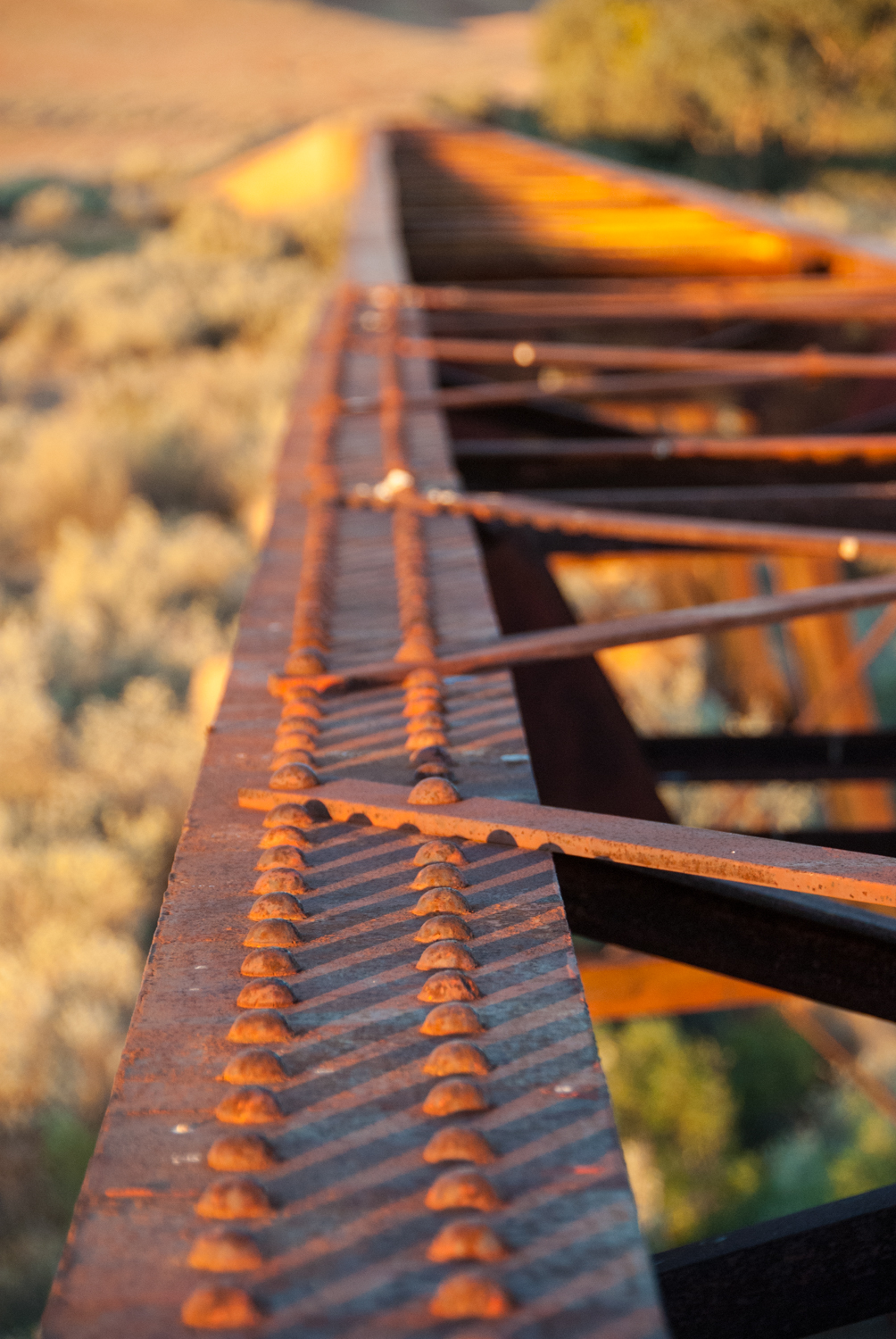
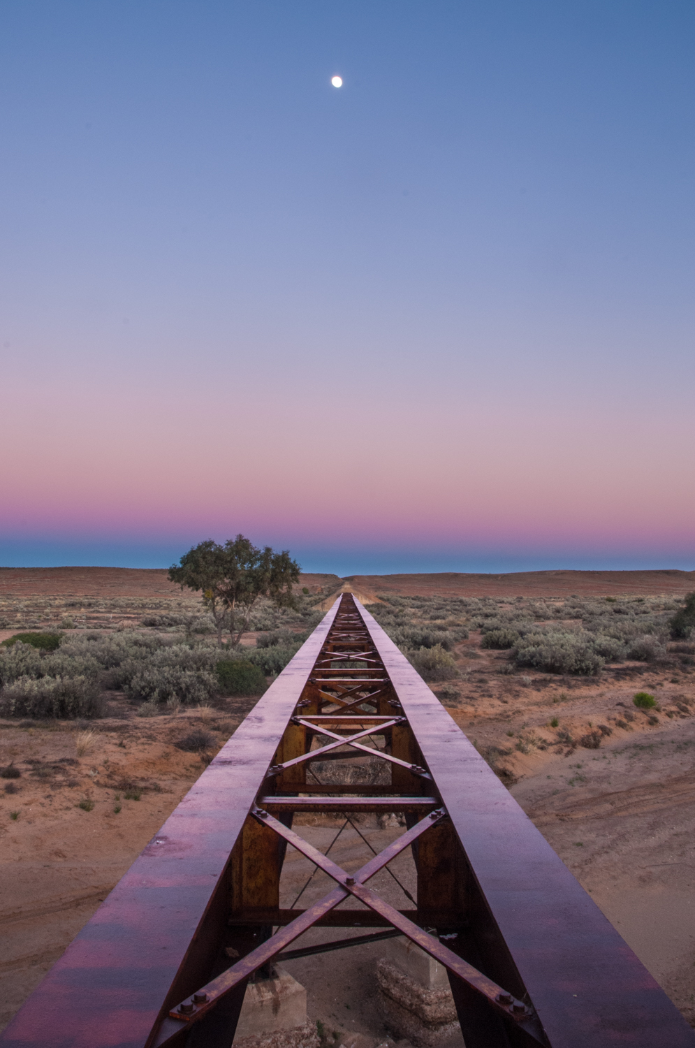
Heading north from William Creek, Algebuckima is probably the most dramatic of these structures being the longest bridge in South Australia (approx 600m). Its other claim to fame is the car at the base of the bridge. The story goes that someone decided to take a shortcut and drive over the bridge only to be met by the train coming the other way. The driver bailed into the river just as the train hit, dragging the crumpled wreck to the end where it still remains. While this is also a popular camp site, we made camp next to one of the smaller relics of the old Ghan line and watched the sun light fade over the red rusty stanchions.
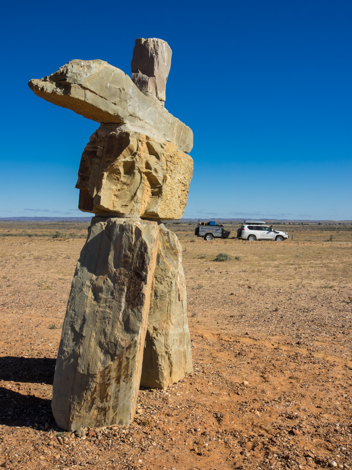
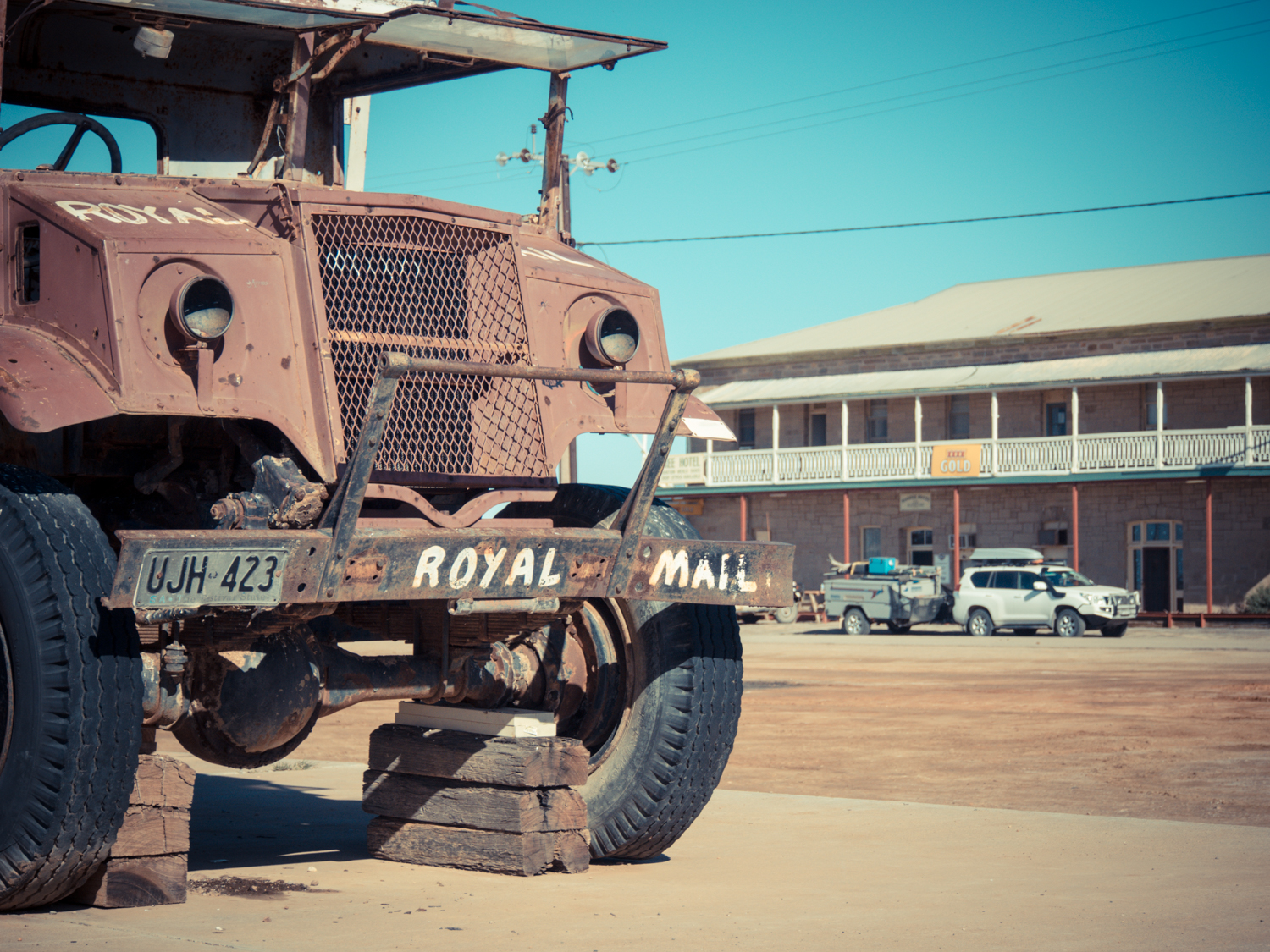
While much of the journey is through vast plains and mesas (flat topped hills) there is the occasional edifice that breaks the horizon. Somewhere between hump number 125 and dry river crossing 23 you come across 2 metal planes side by side and nose pointing skyward like they are holding hands. This is one of about 20 sculptures that appear near Alberrie. Something else impossible to miss is Oodnadatta, what was South Australia’s most northerly railway town, now more famous due to its brightly painted flamingo pink road house welcoming you to the town.
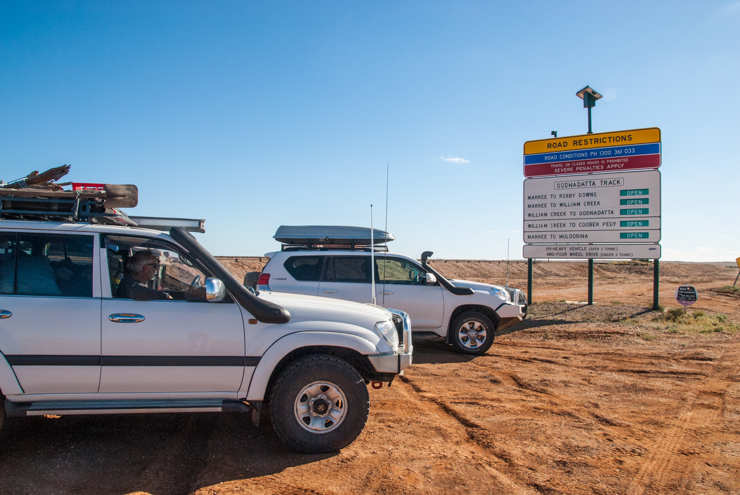
Just north of Oodnadatta we turned right to continue our trip following the ruins of the Ghan. After travelling for approx 15 km over rolling sand dunes that felt like you were on a never ending roller coaster, the topography changed dramatically to open flat expanse of nothing. Well nothing except rocks. Now these are no ordinary rocks. These are the gibber plains which means miles of fist sized smooth rocks that not only cover the landscape but also the whole road.
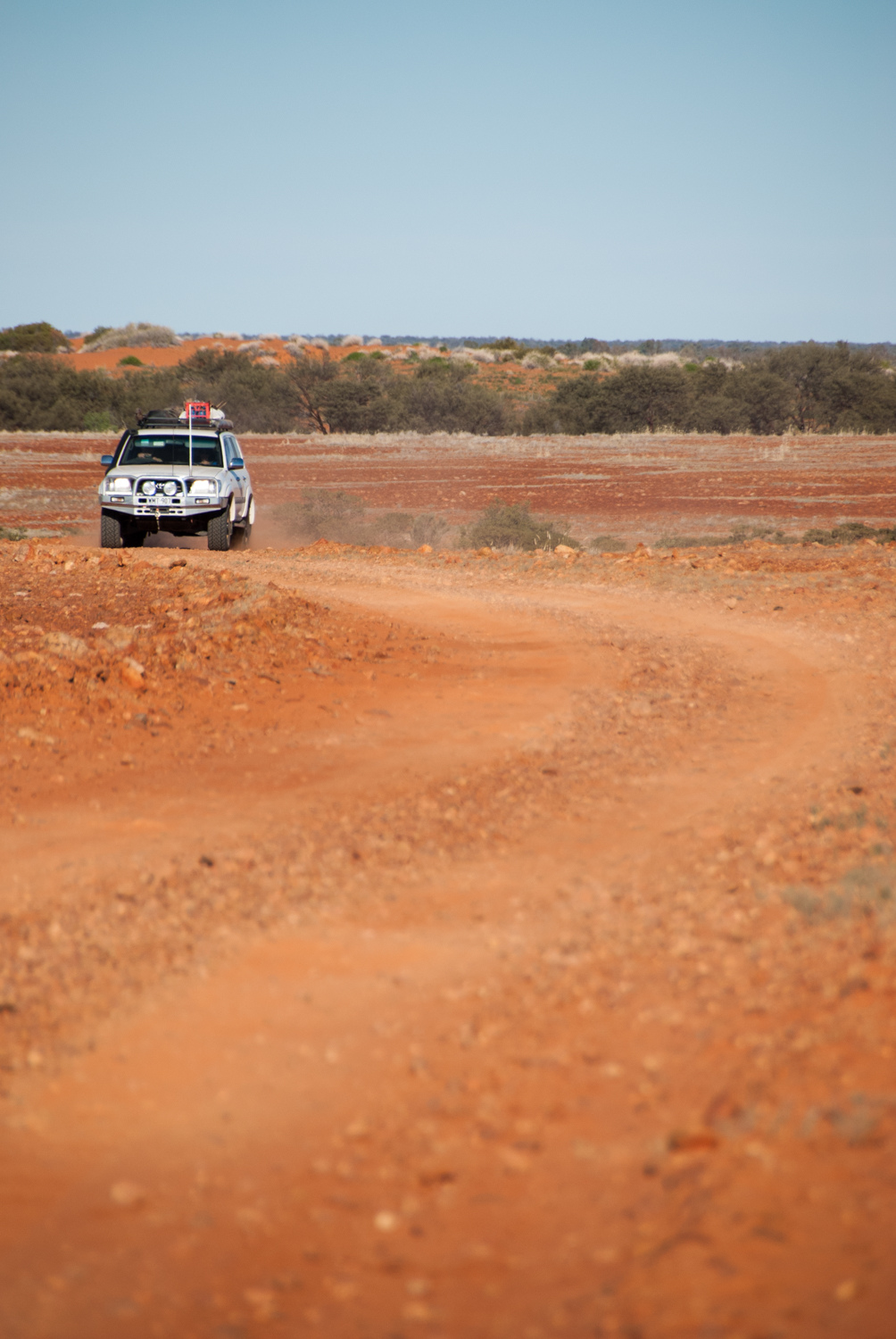
A track out west has the ability to take on different forms. There is the smooth wide dirt ones that makes you think you are on a highway. There is the track composing of 2 wheel ruts, generally something that kangaroos and goats have left. There is the most common one – the track with minute humps that in isolation would go unnoticed, but when they come together they form the most bone shaking, teeth rattling, car destroying experience. But the worst is the track covered by gibbers. The jolting and shaking was enough for me to sympathise with Captain White that this would make any 'traveller sit and cry like children'.
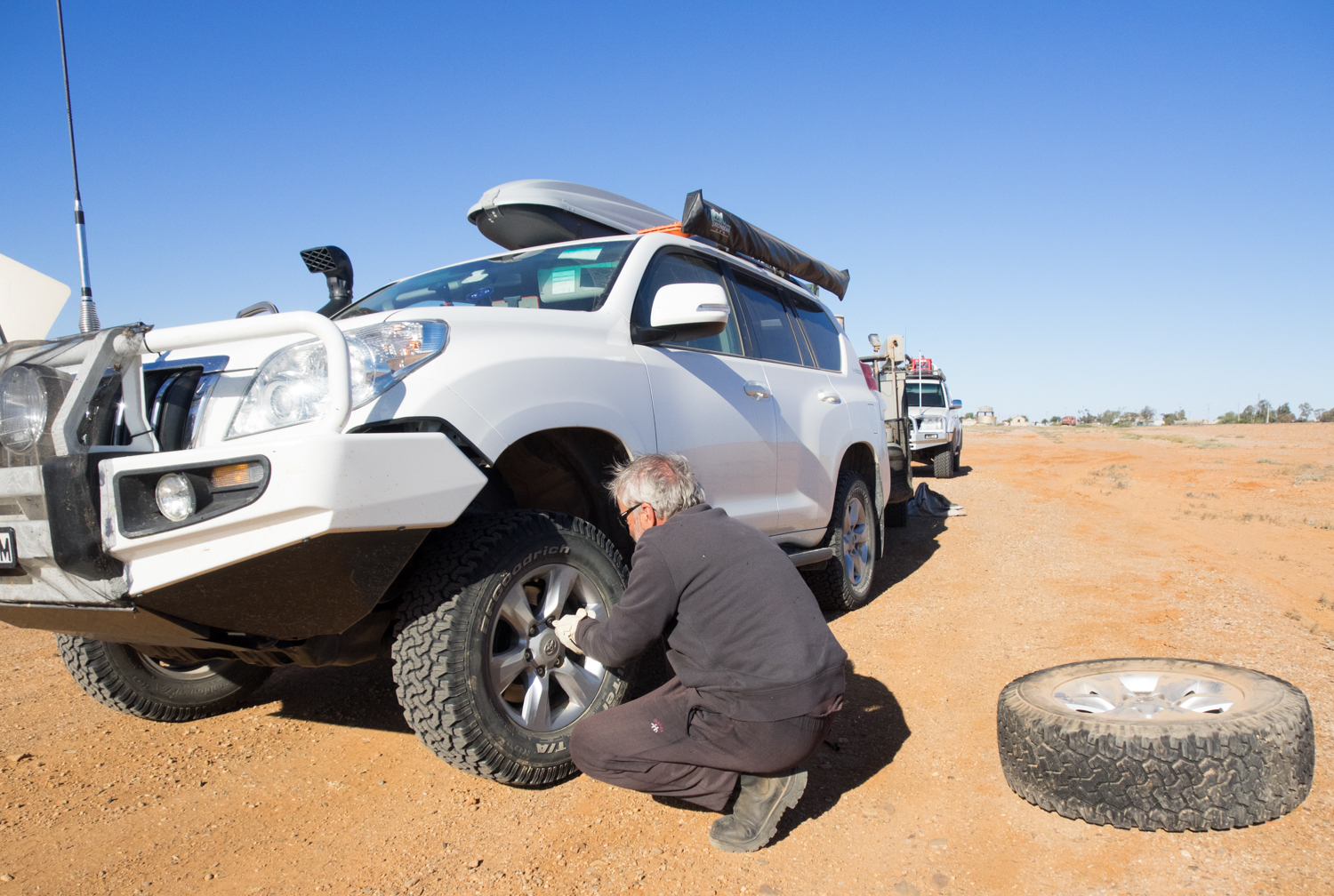
Finally reaching Pederka ruins, approximately 58kms from Dalhousie, it was time to inspect if anything had rattled loose on the car and trailer and also check that my teeth were all still present. With the campfire providing an orange glow on the decaying walls of the cement block cottages you could almost hear the rattling of the steam engine in the wind.
Leaving Pederka, we made our way in to Witjirga National Park with a mix of red dunes and yellow hills reminiscent of an old American western movie set. The Park is the gateway to the Simpson Desert but unfortunately that will have to wait for another trip. Instead we explored Dalhouise Ruins built somewhere between 1872 and 1875 and finally abandoned in 1925. Unlike many of the other relics we have come across, the gradual erosion has only been halted due to more recent stabilisation in 1994 by Heritage SA.
Continuing on the track you can hear Oposum Waterhole before you see it. The clatter and squarks of the Galahs fill the air as they travel from waterhole to waterhole. But the watering hole we were interested in was Mt Dare Hotel, another eclectic outback pub with hundreds of beer coolers hanging on the roof like a string of fairy lights.
After the compulsory ‘cleansing ale’ we left the Hotel to make our way to the 'Centre of Australia'. Officially known as Lamberts Centre, the track weaves through fields of little yellow, purple and pink native windflowers carpeting the edges. Reaching the loneliest flagpole in Australia I can finally say I have been to the true ‘Red Centre’.
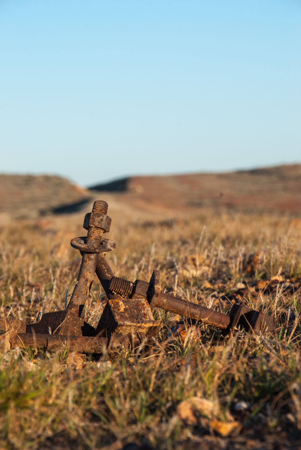
Having retraced our steps back and re-joined the path of the old Ghan line our last run was from Finke to Alice Springs. Finke is well known as the site for the Finke to Alice desert race where lunatics on bikes and 4wd hurtle 220km along an unmaintained track that runs parallel to the main track. But the final run north left my previous definitions of ‘tracks’ beyond words with corrugations the size of Mt Everest and large metal spikes ever couple of hundred metres ready to leap out and skewer your tyre. These are the dog spikes used to hold the rail to the timber sleepers. With the concept of another 100km of earth trembling corrugations ahead I decided that the 'unmaintained track' they race on couldn't be any worse so we gave this a go. While not as corrugated the moguls would make any Olympic skier quake in their boots. Deciding at this speed we would not be making our next camp for a week it was with much pain we endured the next few hours.
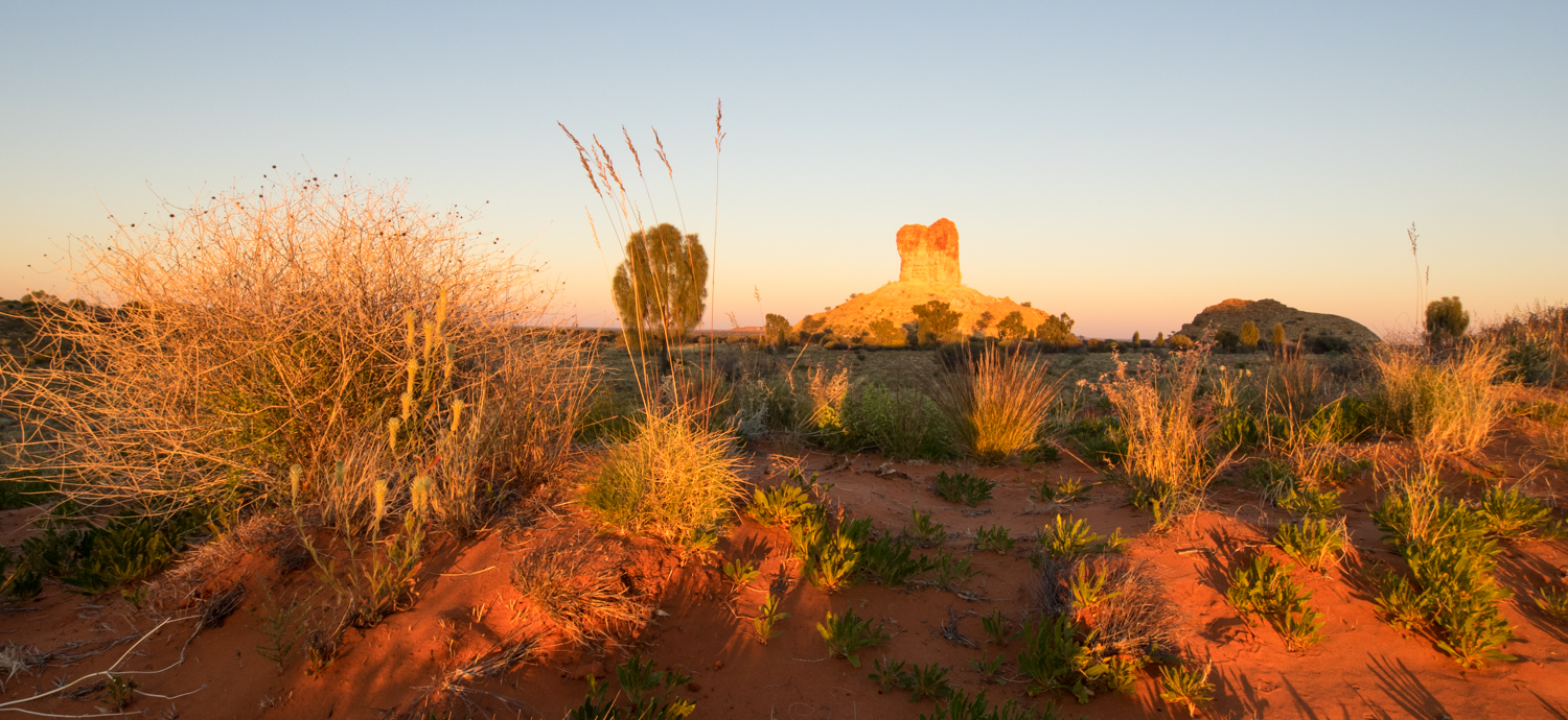
Before getting to Alice there was one last diversion to Chambers Pillar. This amazing ancient stone monolith rises like a volcano from the flat planes, carved as a result of eons of wind erosion. With just enough time to catch the last glimpse of the sun on the pillar before it slipped into another time zone we set up camp to finally reflect on the journey from Yunta and the trip ahead. The next leg would take us back in to civilisation and follow the much more trodden path through the McDonald Ranges and Uluru.
The trip so far has highlighted the desolateness of the outback and the amazing persistence of the early settlers. There is also a sense that the ruins have only just survived the past yet lived on too long. But as time and the outback reclaim the sidings, bridges, homesteads and stone buildings, eventually the only relic remaining will be the shadows from the clouds, the fine red dust and scattered grasses and the sheep footprints left in the sand much like it was before Edward Meade Bagot arrived at Dalhousie back in 1873 .


