This story was published in the April 2015 Issue of 4WD Touring Australia. This is the first part of a 3 month journey from Sydney to Darwin and back. To read a full account of the trip and view photos and videos go to To Darwin By Dirt.
We spend our lives following the same patterns. For some of us it involves the daily routine of getting ready for work then joining the other sullen drivers in the parking lot of life. The noise of car horns, engines and city life rattling the ear drums, the fumes of oil and smog permeating the nostrils. Then the long hours in front of a computer screen only to return home in the same snaking traffic before collapsing, dreading the thought of doing it all again tomorrow.
But the call of the outback has been something that has kept me sane during these dark times. After discussing the possibility of an outback adventure for a couple of years I was finally given permission from the boss (that’s my wife) to take almost three months leave with the aim of exploring the outback. But where is the outback? Is it the back of Burke? The crocodile infested waters of the top end? The red rolling dunes of central Queensland? Or was it all of them?
Pulling out a map, a line was sketched out taking me from Sydney out to Bourke and then the Darling River Run to Menindee. From here it was to track north from Yunta through to the Gammon Ranges and then on to the Oodnadatta and the Old Ghan. Taking a closer look at the map, West McDonald ranges and Uluru were added before continuing north to Kakadu and Litchfiled NP. Unfortunately time dictated that I could not join the fortunate few that have decided to circumnavigate this expansive red continent so a course southwards was needed. So a path across the Savannah Way to Lawn Hill NP then down to Birdsville and Innaminka before making the journey home was finally settled on. In total over 13,000km and 2 million corrugations was mapped out.
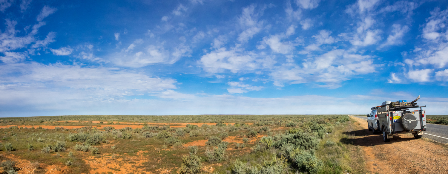
The outback gods must have been on my side as the first part of the trip following the Darling River was to be a solo adventure before meeting up with family and friends on later parts of the journey. Rollling along the long straight 300km stretch of road from Naromine to Burke the steering wheel only moved twice giving me time to contemplate the adventure ahead.
What I knew is that the Outback is a place of opposites. It is both a place of vast flat nothingness to rugged terecotta red gorges and mountain ranges. It is the single Sturt's Desert Pea that clings to life against the drought and the sea of wild flowers after the rains. It is a place where the flies descend by the thousands or the lone wedge tail eagle soars skyward. It is where the gibber stones shimmer in the 45 deg heat and the morning frost clings to the Mitchell grass following a freezing night. It is the dry Todd river bed flanked by river red gums and the rushing Darling river engorged by flood waters. It is the raucus galahs and corellas drinking in the waterholes and the endless quiet of the desert.
But as beautiful as this can be, the outback can also be extremely unforgiving. There are numerous stories of people venturing in to the outback unprepared such as the 36-year-old German Kim Hardt who became bogged at Lake Disappointment with ten litres of beer and a packet of bikkies to survive. Having spent two years planning for the trip I hoped my own fate would not be as dramatic.
My thoughts were brought back to present as Mount Gunderbooka began to rise out of the expansive floodplain forming a magnificent escarpment that is of great significance to the local Ngemba Aboriginal people. Leaving the Kidman Highway, Gundabooka National Park is a great spot to stop and experience the feeling of isolation that only an outback travel can provide. Having set up camp at Dry Tank campground it is a short drive to Bennett’s Gorge and the beginning of the "Valley of the Eagle" walk. The first 1km is an easy stroll along a well maintained path to the base of Mount Gunderbooka. From here it is a more strenuous 2 hour climb to the 500m summit as the track weaves its way higher climbing over rocky red boulders and rock scree, past mulga thickets and through the white cypress pine and western bloodwoods. From the top I looked out over the parched plains and watched the eagles as they glided on the rising eddies looking for lunch. The last sign of another traveller was a hundred km away making the climb both rewarding and a reminder of how remote this land is.
While a side trip to go on the paddle steamer PV Jandra from Bourke is a possibility, the desire to find a dirt track was calling. Affectionately known as the Darling River Run the track follows a section of the 2,740km long Darling River. Just as the river slowly meanders through the heart of NSW, my journey was to meander from Bourke, Louthe, Tilpa, Wilcannia, and Menindee before leaving the river to continue on its journey as I made my way west to Broken hill.
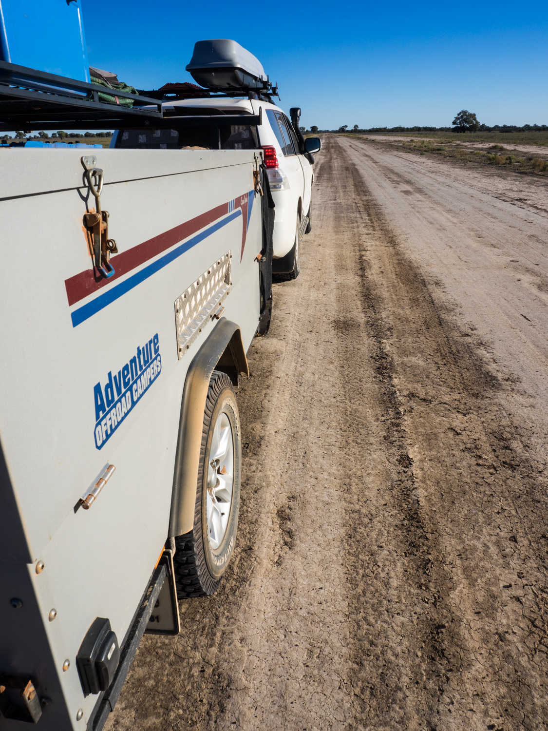
The road from Bourke to Louthe is an easy drive suitable for 2WD when its dry. But like the other opposites of the outback, it only takes a sprinkling of rain to turn these tracks in to a rutted slippery, impassable barrier. Luckily for me the rains of last week that brought life to this parched land had subsided enough to get through.
The other liquid that parches the thirst in the outback is that found in the many unique pubs that provide both a watering hole and gathering place to the locals and weary travellers. ‘A place that loved a drink, a party and a punt…’ so wrote Henry Lawson about Louth, a small town with a population of 30ish (you never can be precise in these small places). And the place they now come to drink is Shindy’s Inn, a pub with eclectic memorabilia adorning its walls telling stories of past explorers who paved the way for European settlement along the Barwon-Darling River.
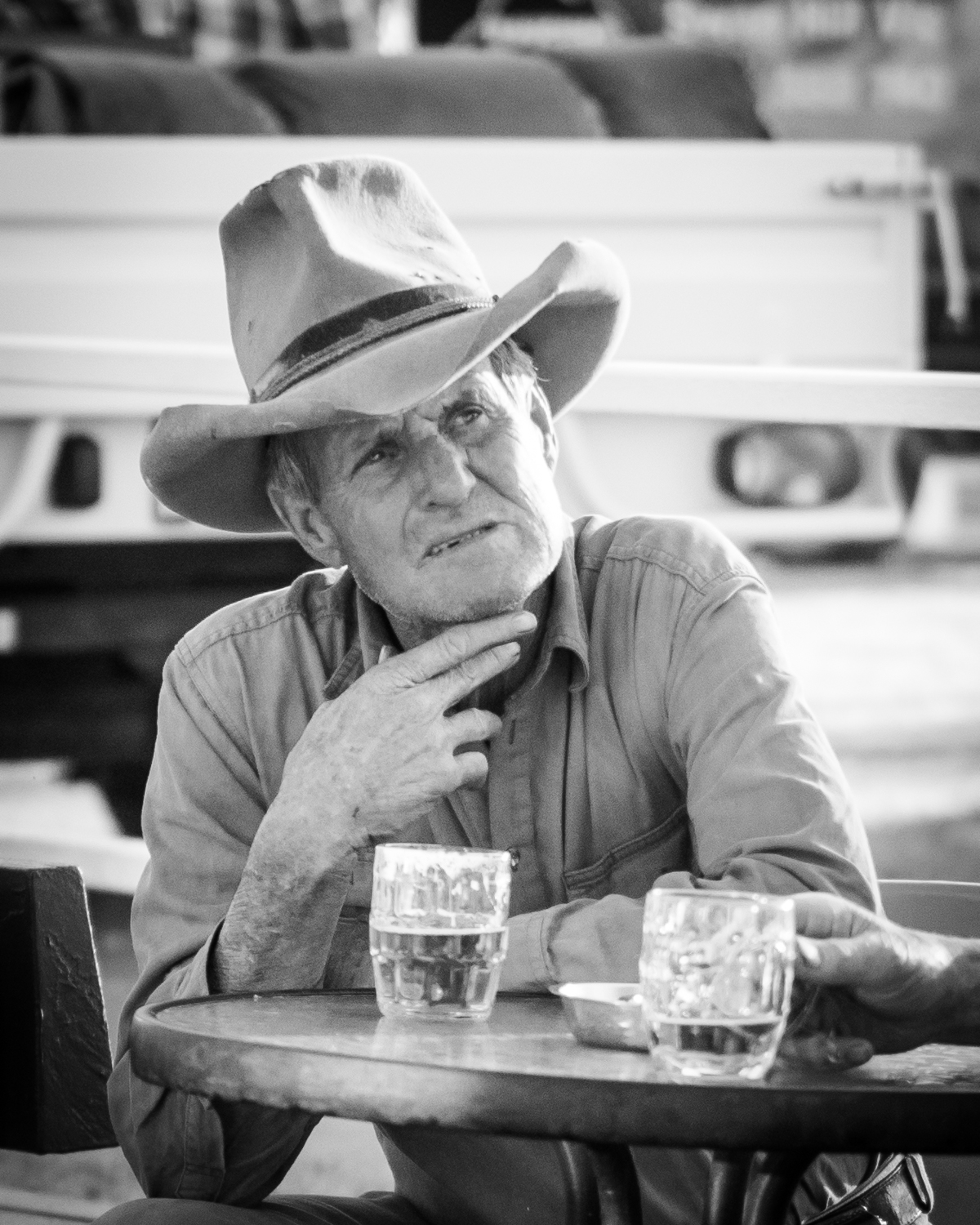
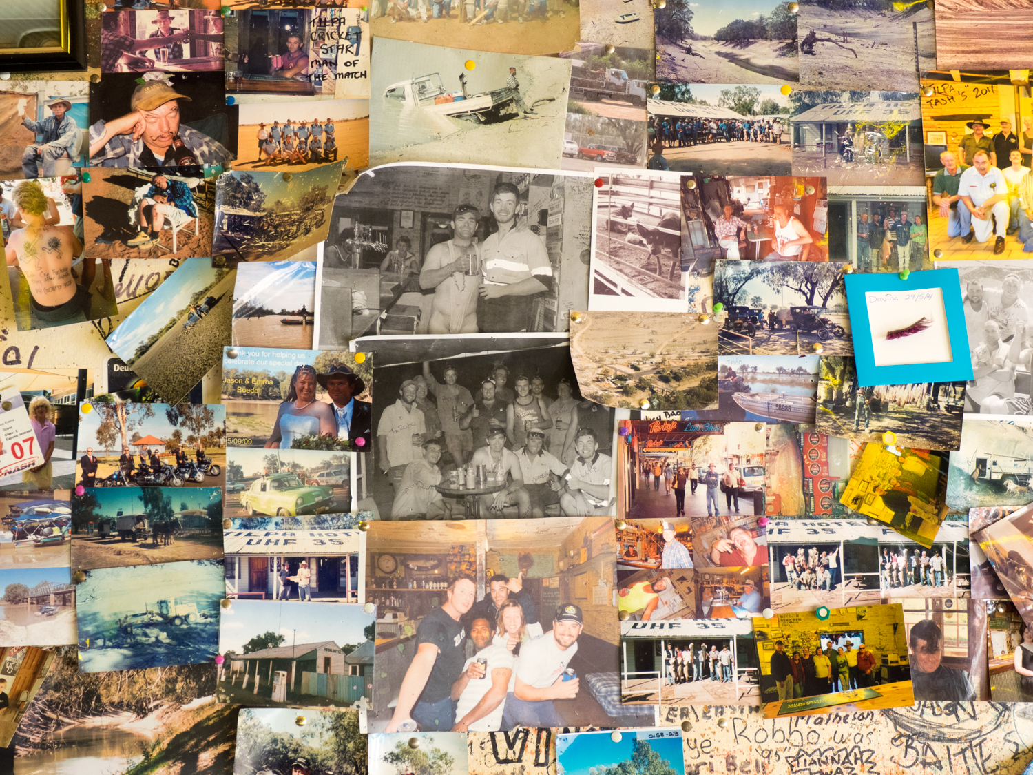
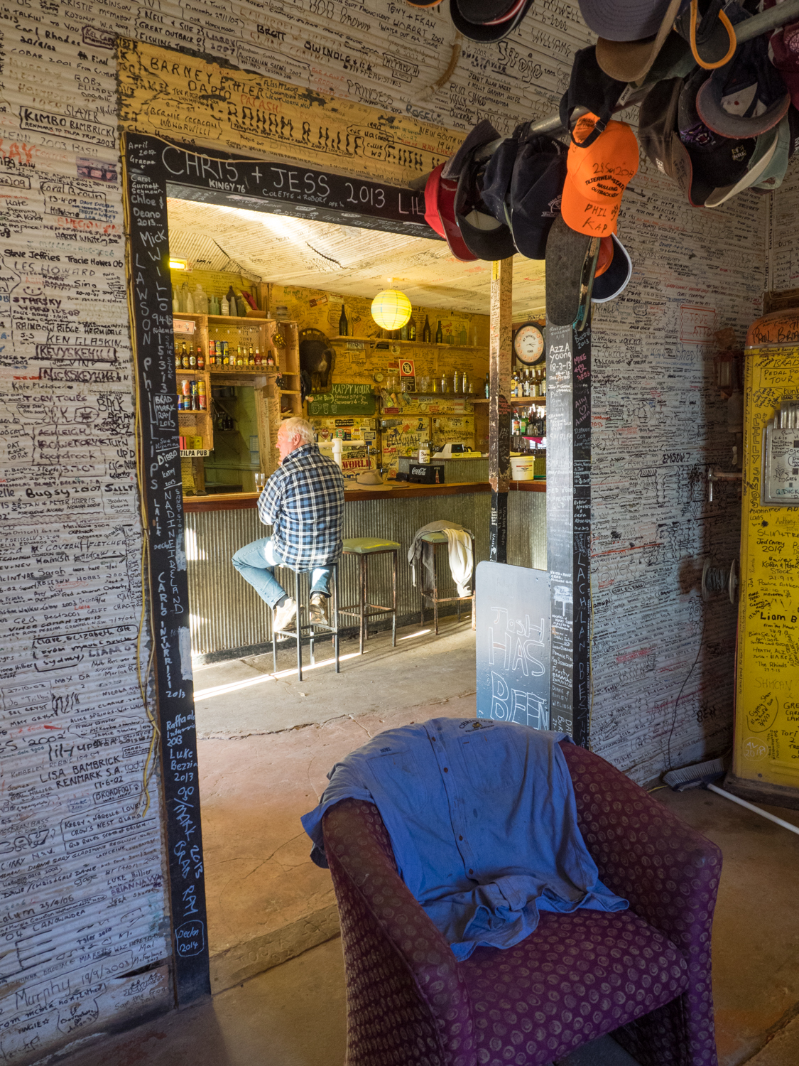
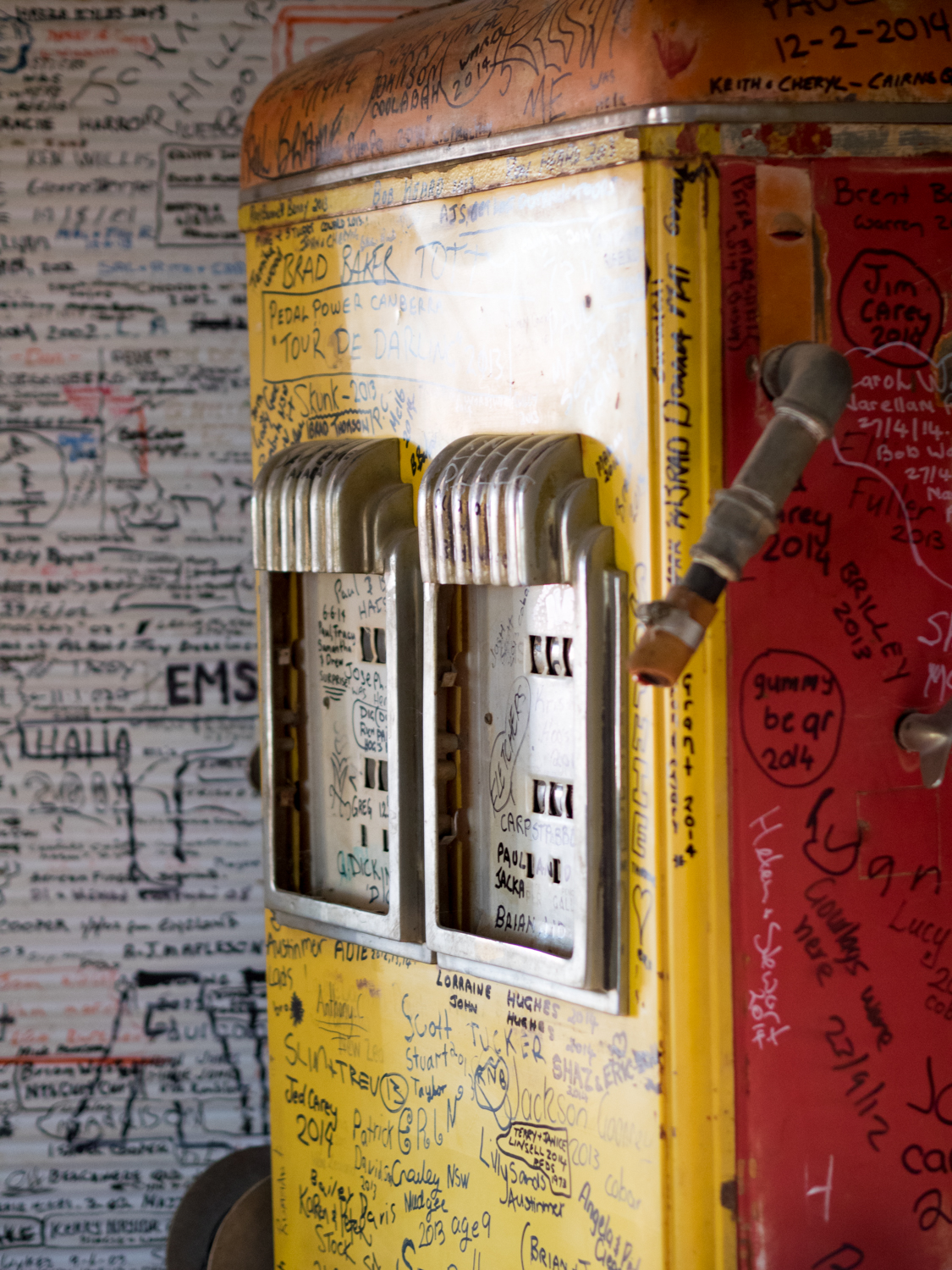
Following the flow of the Darling a further 80ish km (you never can be precise travelling the outback) you come to Tilpa, one of those iconic locations that appears as an oasis to the travelling shearer (or me). Consisting of a pub, 3 shacks and 2 sheep, there is little more to this place but its character typifies everything to me about the outback. The 100 year old Tilpa Hotel with “UHF 35” painted on its corrugated iron roof, signals the passing traveller to call in. Out the front two elderly bushies chat, their faces shaded by bush hats that had enough history to tell 100 stories. Under the porch a wiry cattle dog sat waiting for its owner who was in side having one last cold beer before returning to the station. Like Shindy’s Inn, the walls of the pub are decorated with memorabilia, but more impressive are the thousands of names and other graffiti written on every surface from locals, travellers and misfits who have ventured past its doors. I am sure if the wiry cattle dog did not move it would have someone's name scrawled on it in no time.
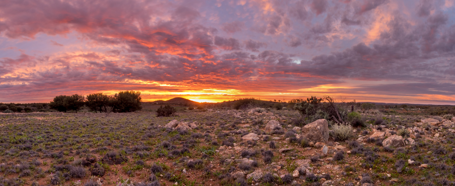
While the clutches of the pub tried to keep me there for one more beer, the sun was setting and I needed to find somewhere to camp before I had to play lotto with the numerous cows, goats or wild pigs on the road.
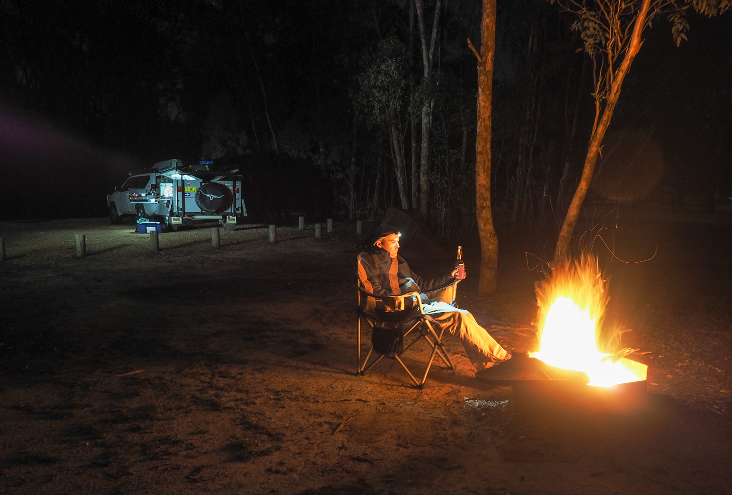
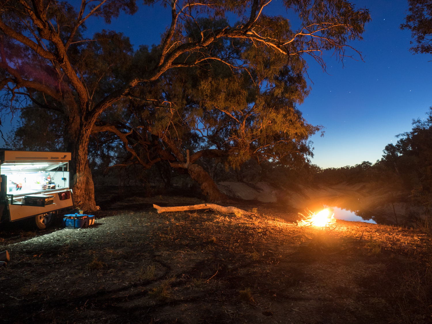
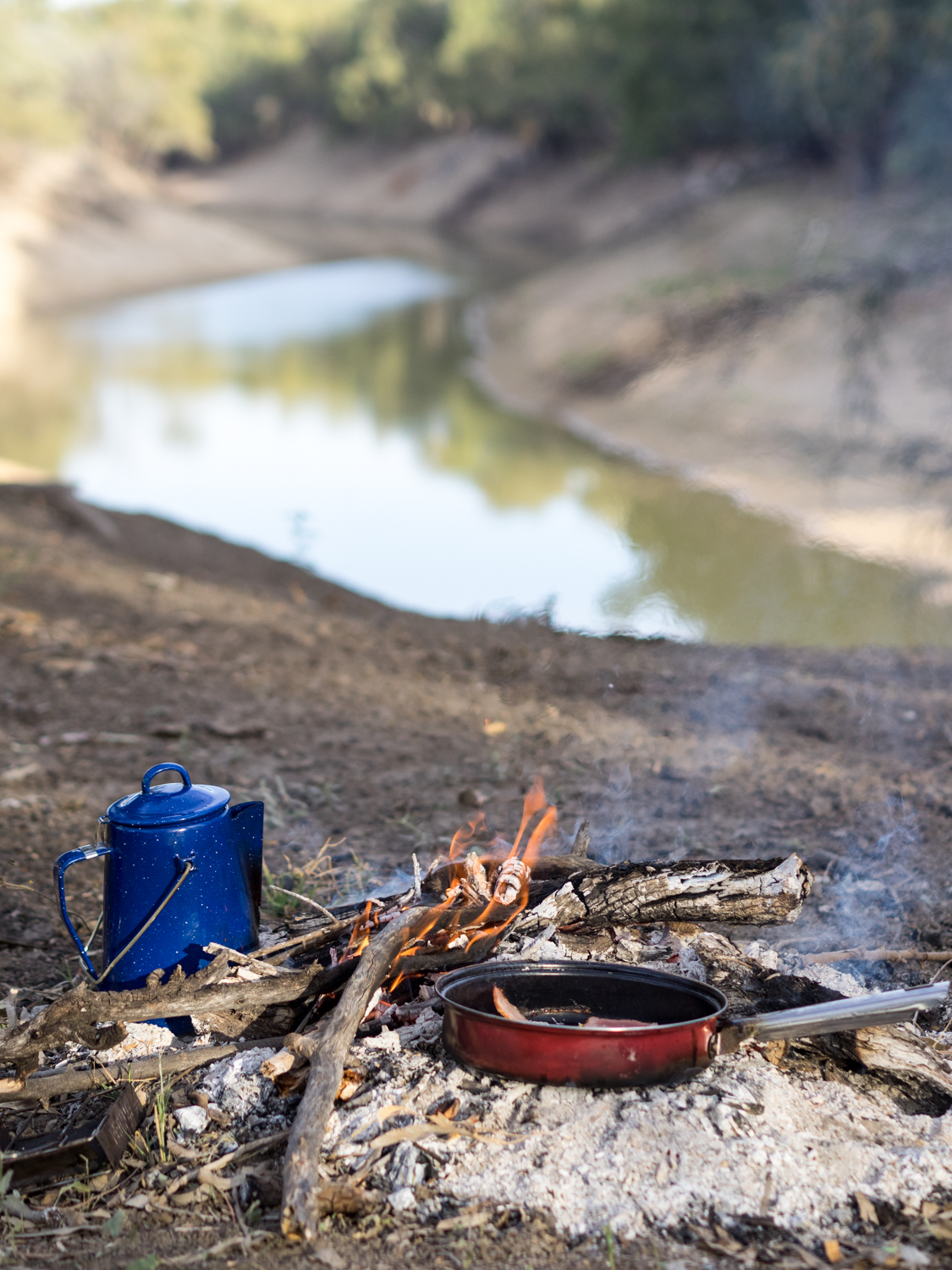
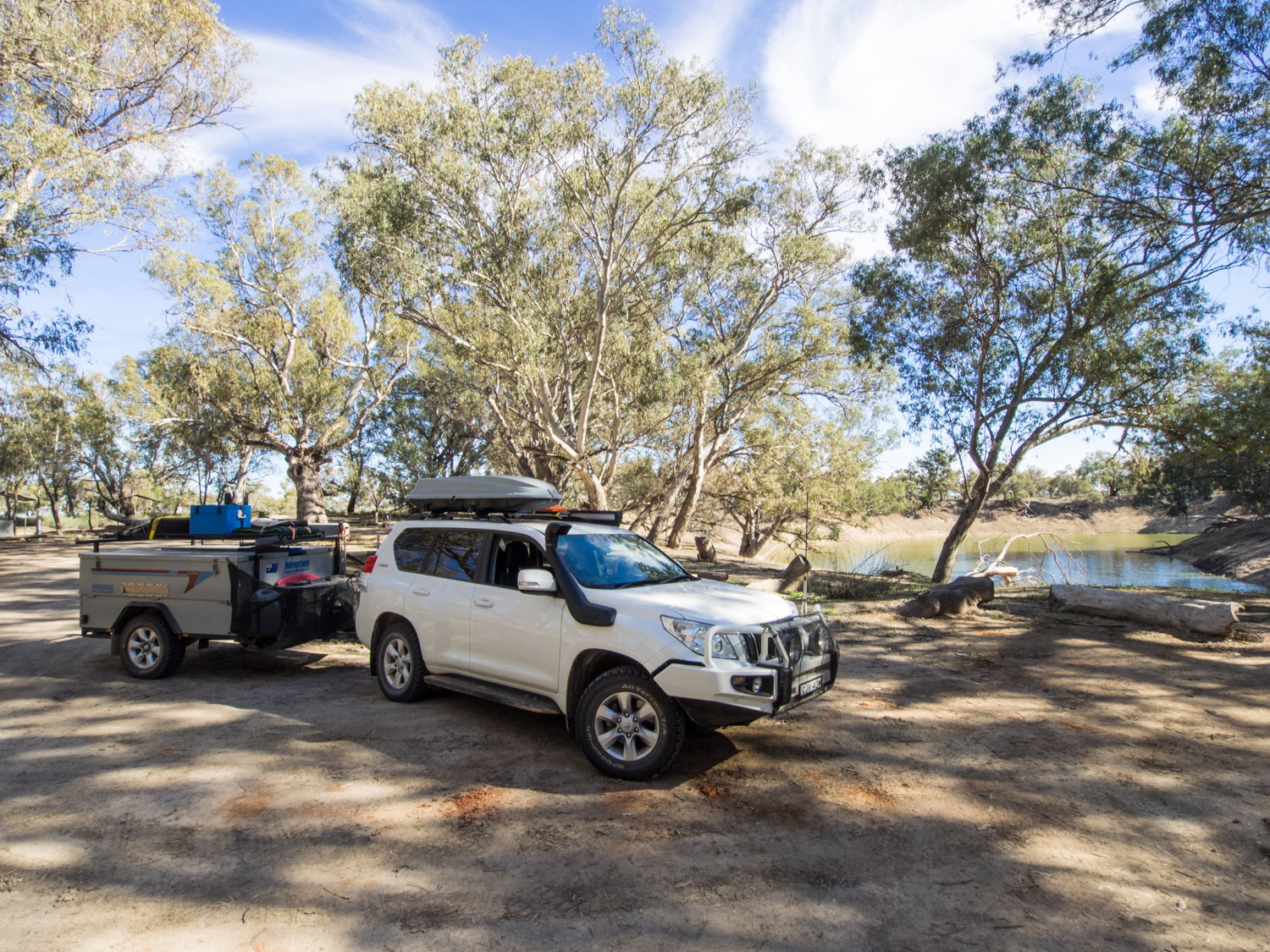
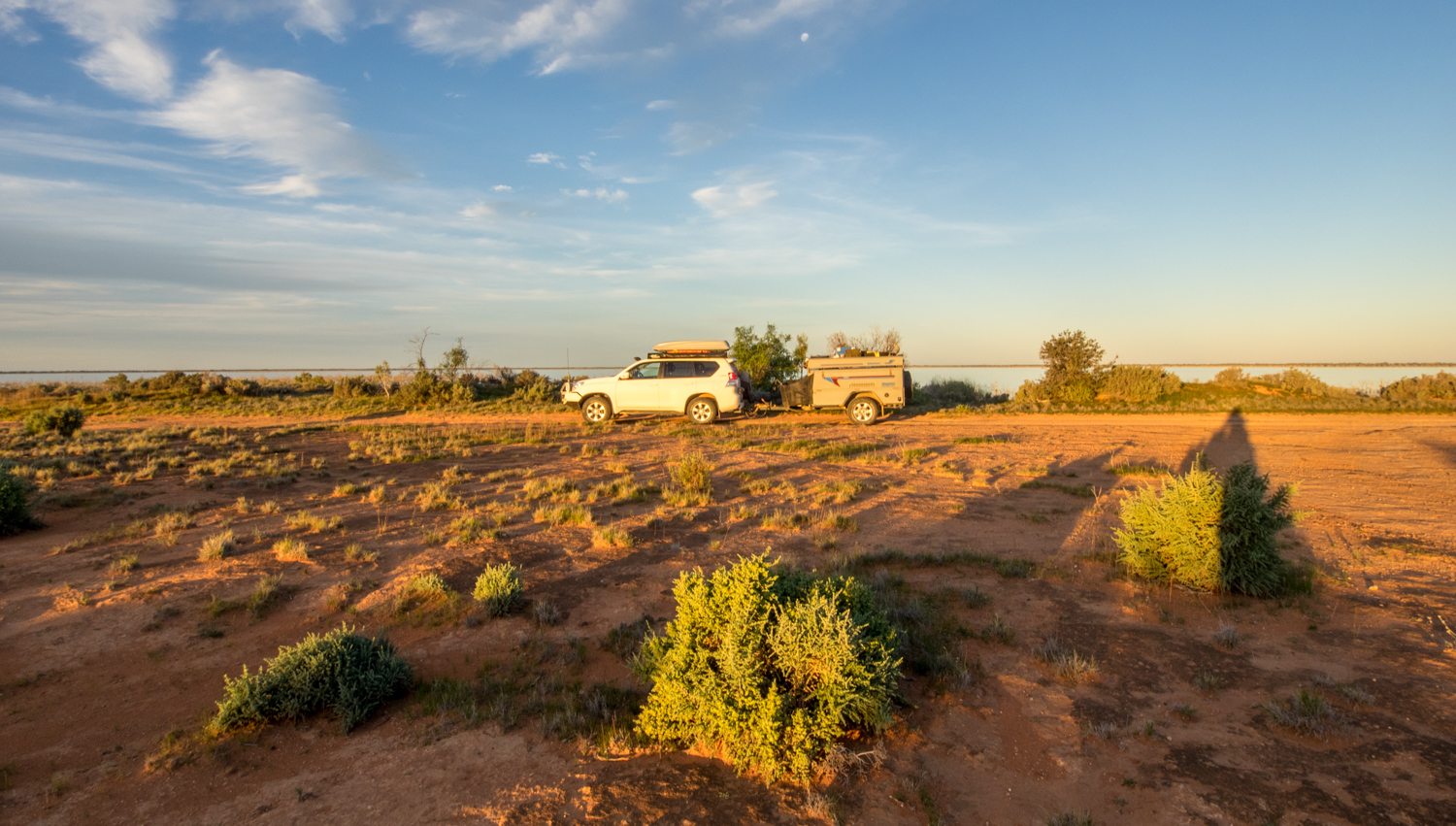
While the track generally follows the Darling river you generally only get a few glimpses of the milky brown water as much of it passes through private stations. Some of these have opened their gates to travellers such as Trilby Station. But if you look hard enought there are two small wheel tracks just west of Tilpa that end up in a magnificent open camp site on the bend of the river. As the blue sky gave way to ink black it was time to light a fire and ponder tomorrow's journey.
Leaving camp, the track to Wilcannia changes through a candystripe of deep red and white soils marking out where the floodplain and higher land occurs. The section of road from Wilcannia to Menindee is less eventful with a monotonous mallee and Belah woodlands encroaching on the edge in an attempt to reclaim the track back. This was only punctuated by the occasional wandering cows that considered the track to be their own.
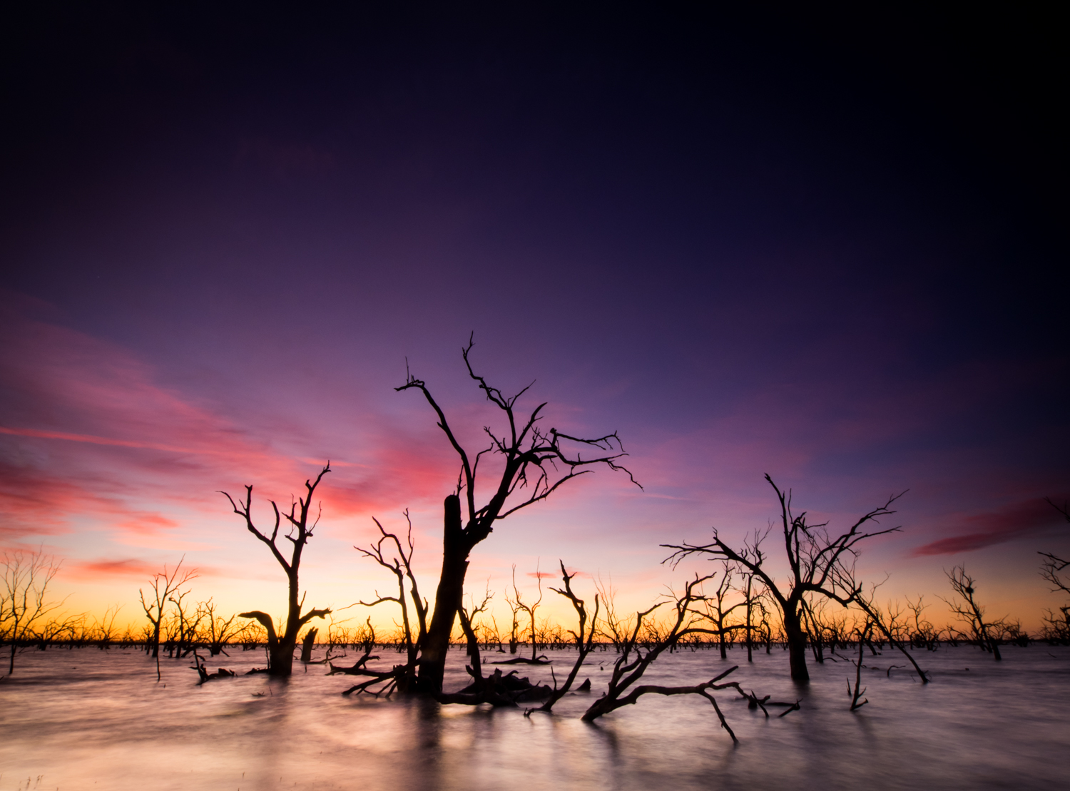
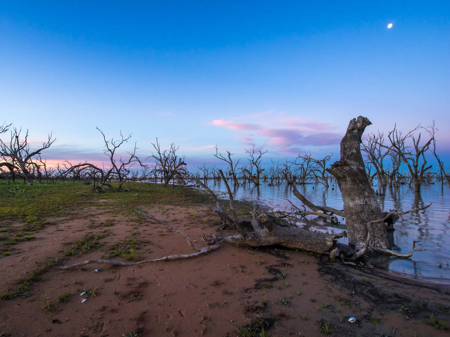
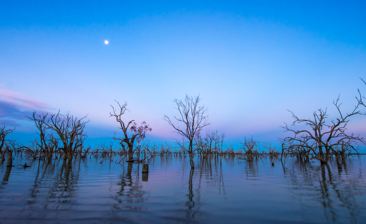
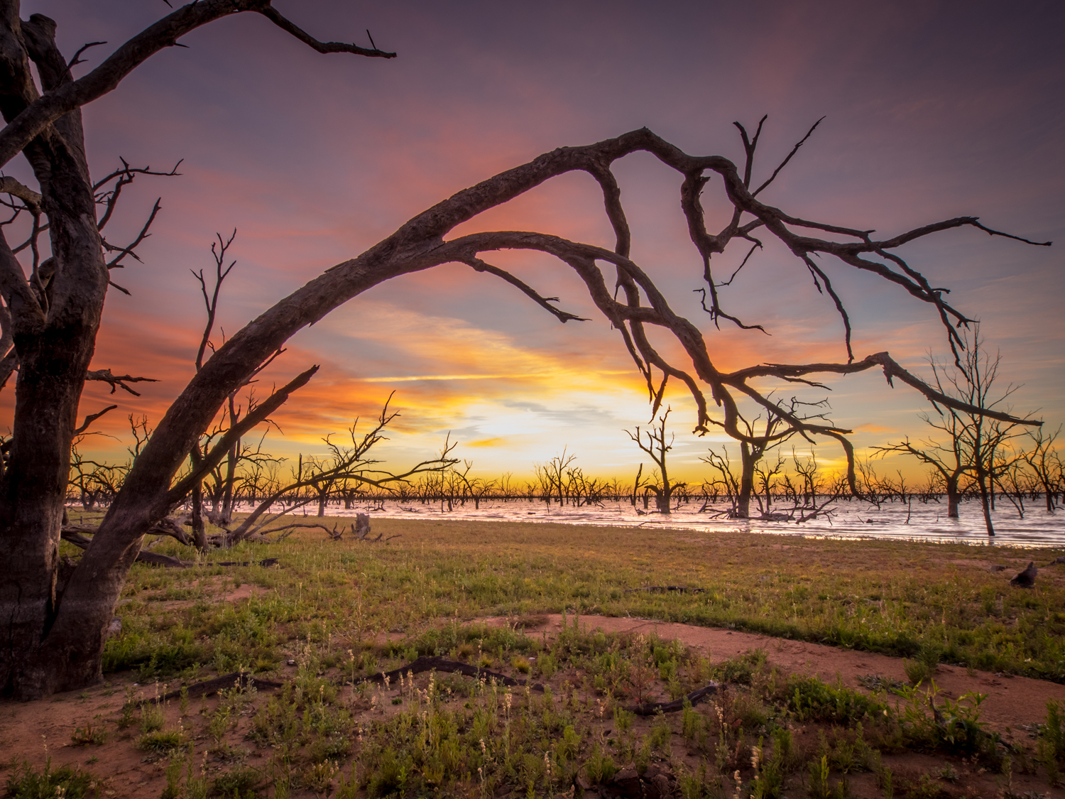
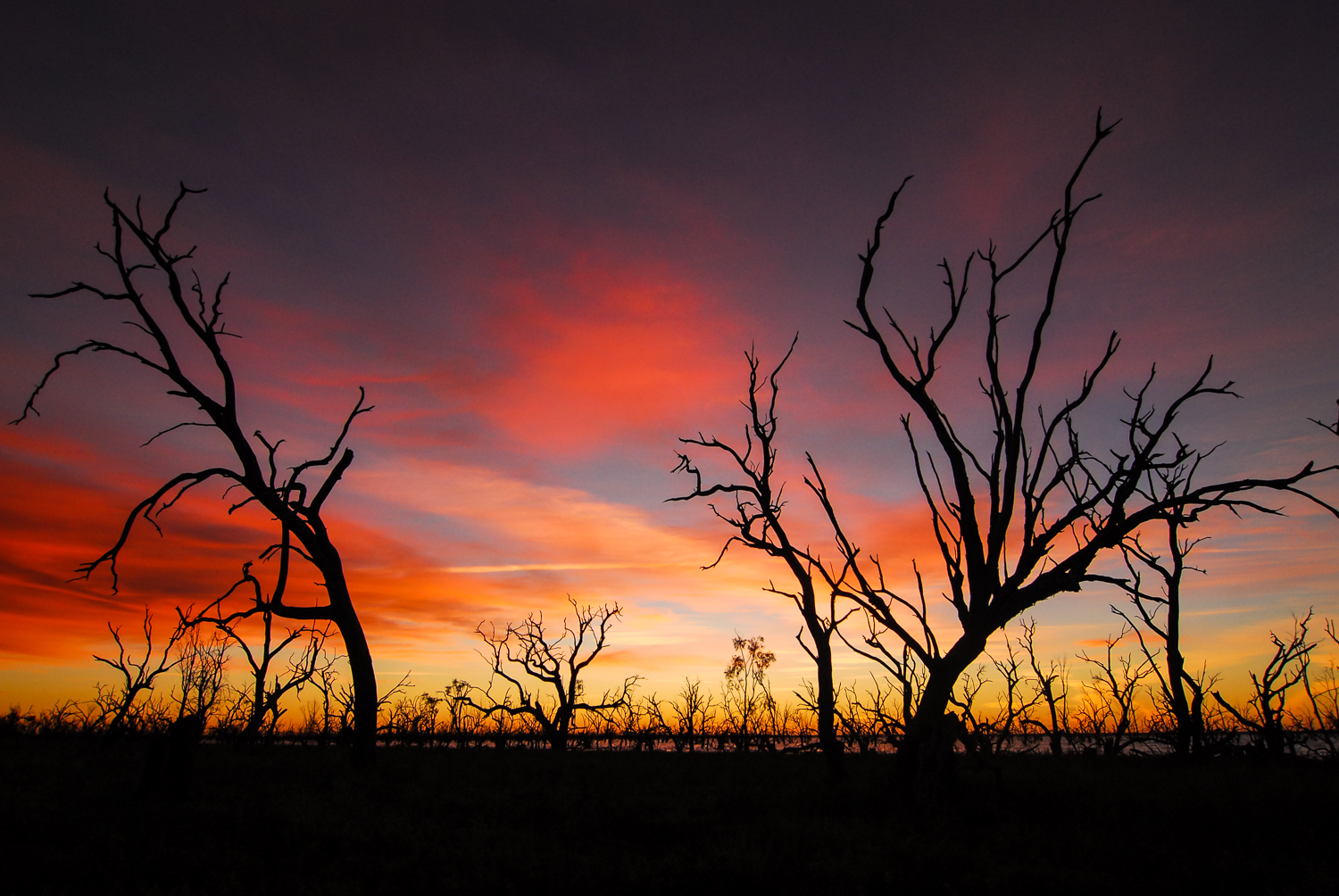
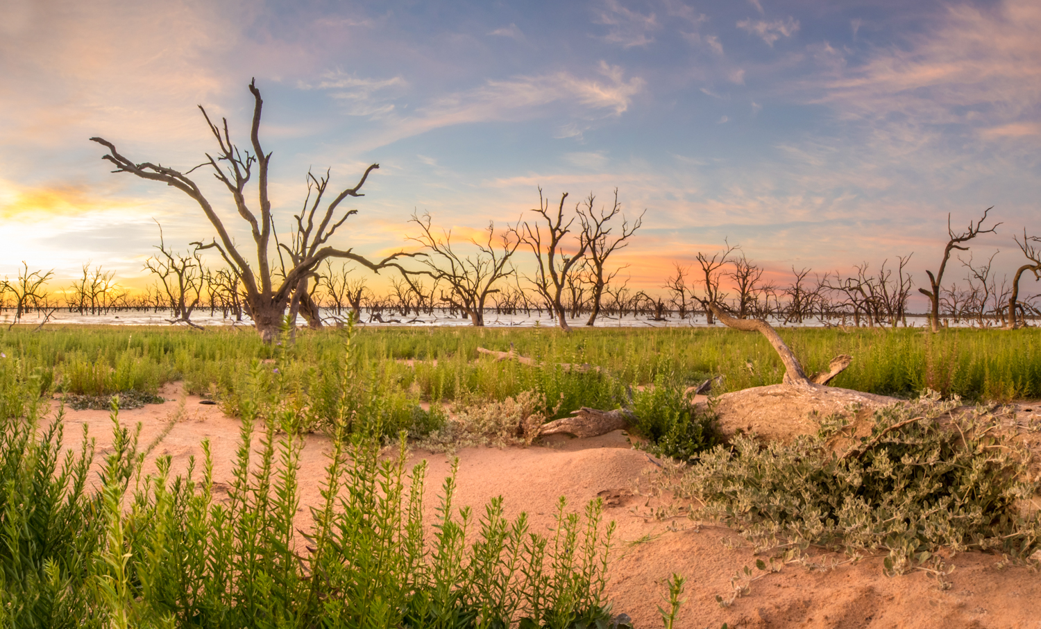
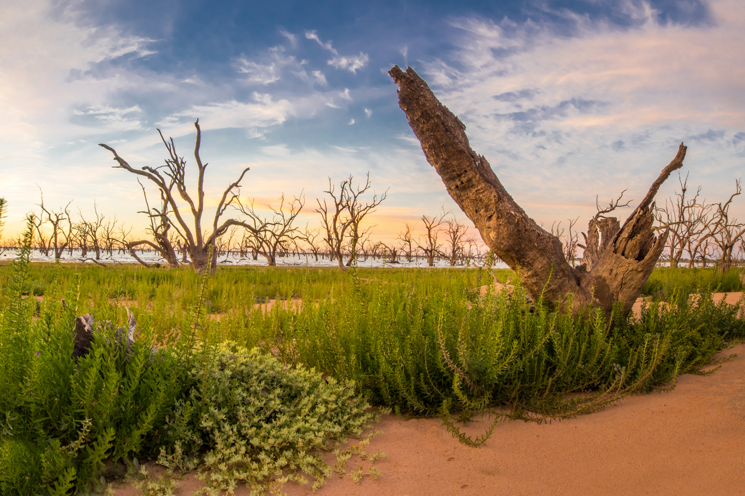
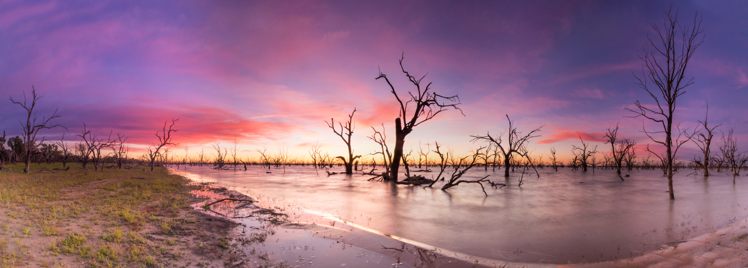
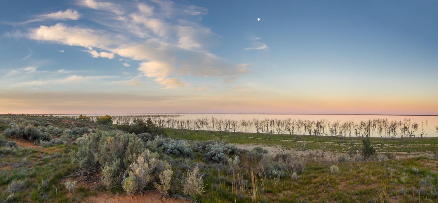
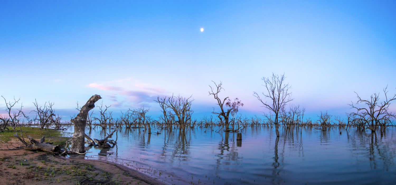
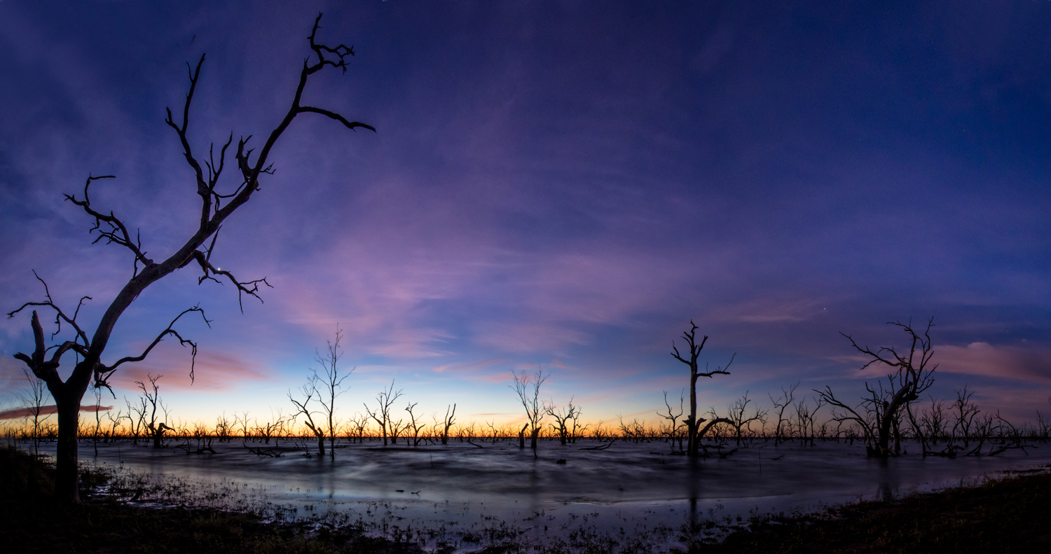
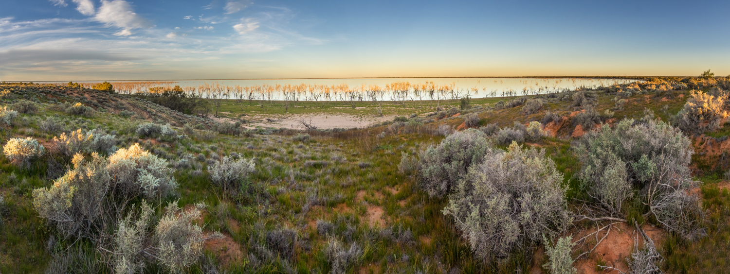
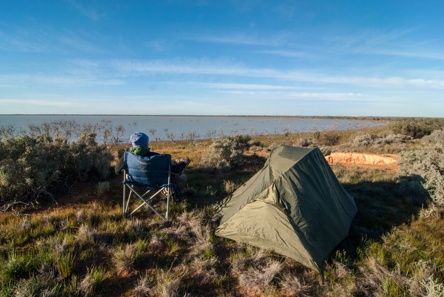
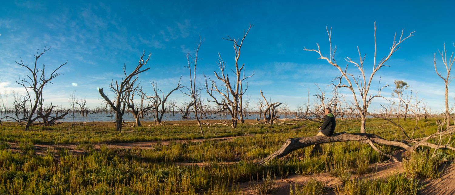
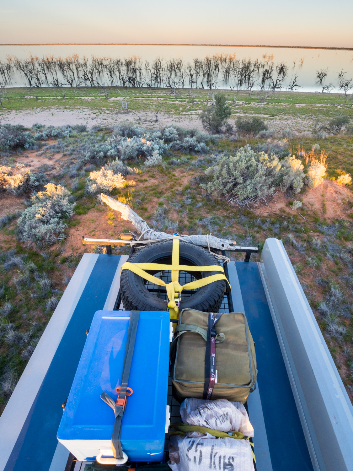
Reaching Menindee there are several choices on where to stay from the more civilised caravan park at Menindee to the adjacent Kinchega National Park. But again looking for a free camp, the aim was to find a track that would lead me to a secluded spot on the banks of Lake Pamamaroo. Following a random track however can be a bit of pot luck. Some lead in multiple directions then return you to where you started. Sometimes they will disappear out into nothing requiring backtracking. But if you are lucky it may lead to something interesting such as the spot I found overlooking this ancient lake with its part submerged black box trees looking like ghostly soldiers standing on the front line ready for battle. Waking early was well worth it with the silhouette of these twisted ghosts against the sky as it put on a magic light show transitioning from deep guinness black through to a wine burgundy, pink rose then yellow chardonnay.
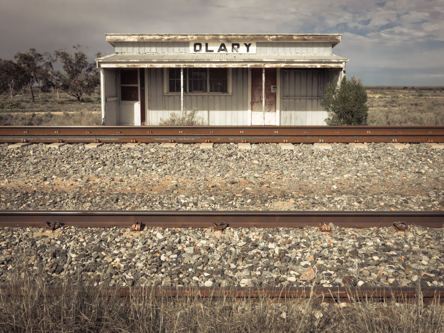
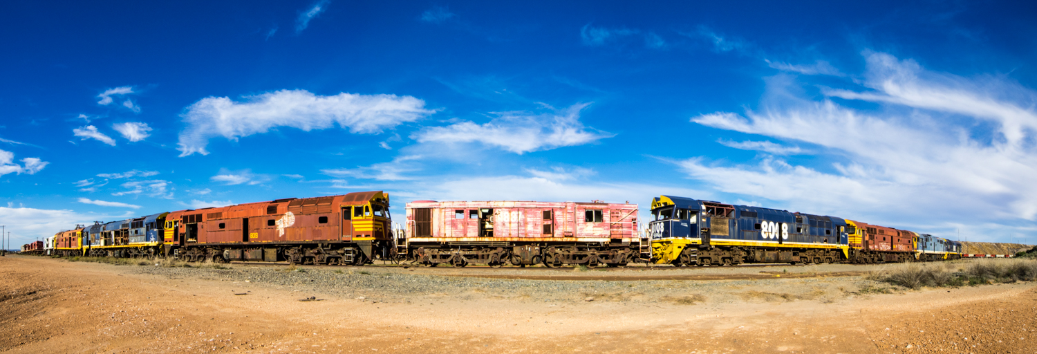
Leaving the lake it was time to return to the black top, letting the Darling river continue on its journey as I made my way to Broken Hill to resupply. The next part of the trip will replace following the meander of a river with that of a rail line. It is to take us from a small dot on the map called Yunta in to the Gammon Ranges of South Australia then on to the Oodnadatta Track and the old Ghan line.
But what was this folly all about? What was I in search of? For me, it was to experience a new pattern. A new daily routing that was to involve time driven by the sun, roads where few cars have travelled, noises of silence broken by the wind or call of a finch. The smell of dust. The long hours exploring the expanses of the outback. Setting up camp in a new home each day and collapsing dreaming of the thought of doing it all again tomorrow.
Luckily I have more of this folly to come.
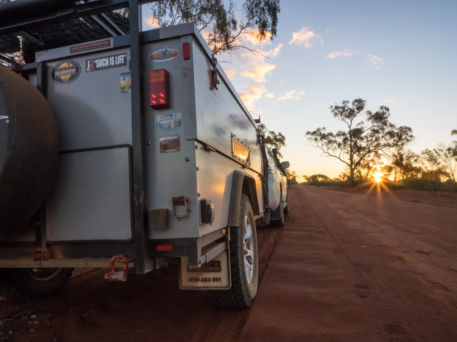
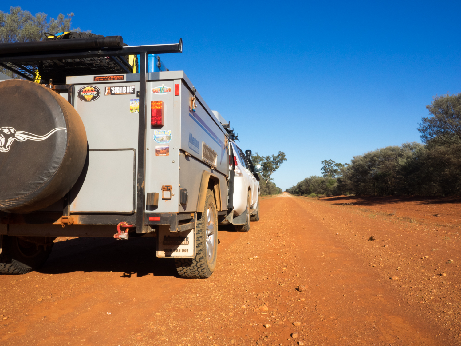
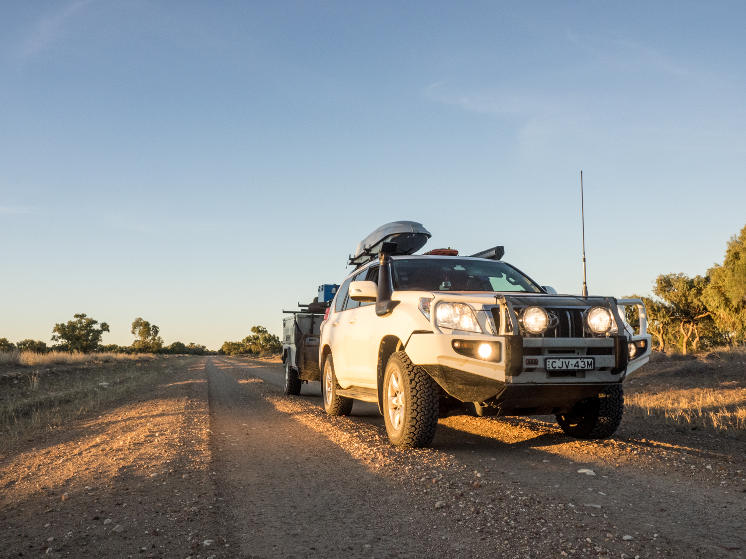
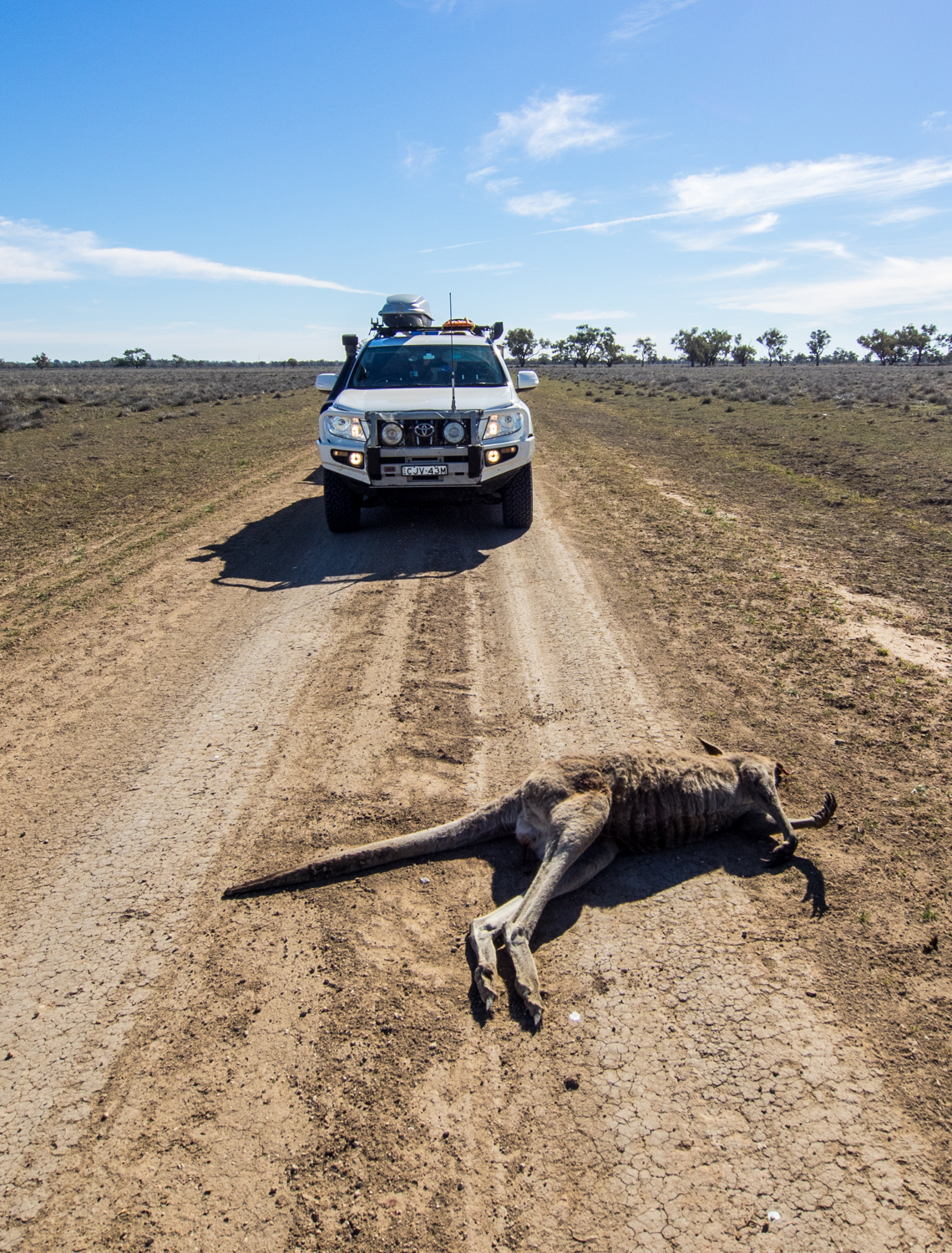
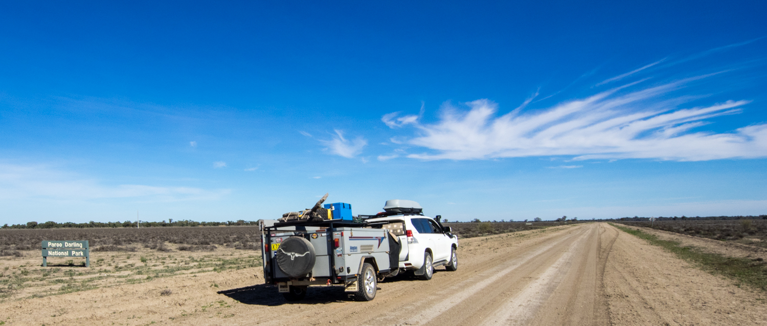
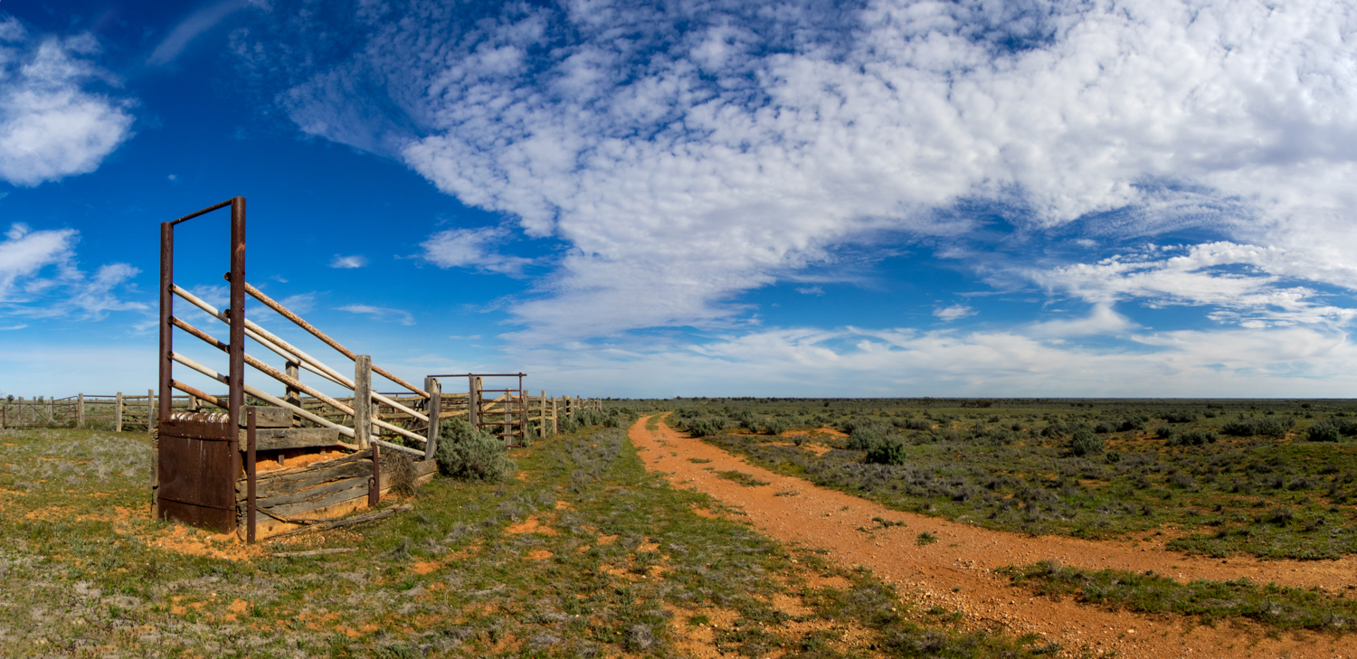
For an idea on what the roads were like have a look below


