This story was published in the September 2015 Issue of 4WD Touring Australia. This is the third part of a 3 month journey from Sydney to Darwin and back. To read a full account of the trip and view photos and videos go to To Darwin By Dirt
“As I walked through that country, I was becoming involved with it in a most intense and yet not fully conscious way. The motions and patterns and connections of things became apparent on a gut level. I didn’t just see the animal tracks, I knew them”.
Robyn Davidson, Tracks
In 1977 Robyn Davidson left Alice Springs and trekked 1,700 miles across the Australian outback with four camels and a dog. Her epic journey was recorded by Rick Smolan for National Geographic and later became a book then film. While our journey leaving Alice Springs was going to be in the comfort of a 4WD we knew that the only way to truly touch the wonders of the West MacDonnell Ranges, Palm Valley, Kings Canyon, Uluru and Kata Tjuta was by foot.
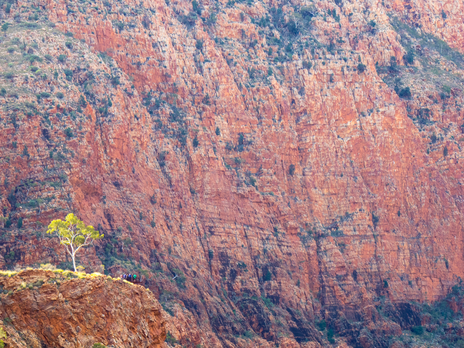
Leaving Alice Springs our first stop is the West MacDonnell Ranges which stretch westward into the desert. This linear Range has been squashed, deformed, lifted, folded and eroded creating layered red peaks. But it is what lies between these peaks that is most extraordinary. It is here where we spend the next 5 days walking in to Gorges and Chasms, an oasis in the outback.
The Ranges are not a place where you will find long remote 4WD tracks, with most sites easily accessible, even by the family commodore. But it only takes a short distance walking in to these yawning crevasses that you feel just as secluded. Hiking, trekking, rambling – what ever term you use - the experience of leaving the confines of the metal box and returning to a simpler form of transport allows you to connect more with the earth.
It does not take long after leaving Alice that we arrive at Simpson Gap. The Gap is said to have been created by a wallaby spinning around and slamming its tail on the ground, creating the split in the rocks. It is hard to imagine what the Black Footed Rock Wallaby makes of the flat footed intruder as he peers down at us from the ledge.
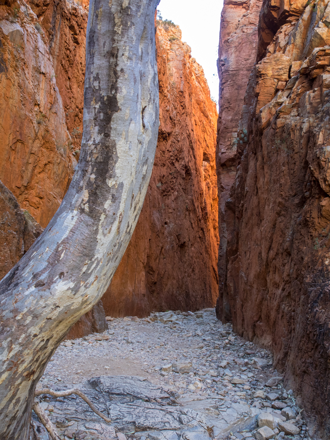
Standley Chasm is one of the most photographed of the gorges. A short walk following the Angkerle Creek bed leads you to sheer walls closing in on both sides no wider than your outstretched hands. The shadows of the floor is only broken by a shaft of light in the middle of the day (along with the 50 camera flashes from tourists).
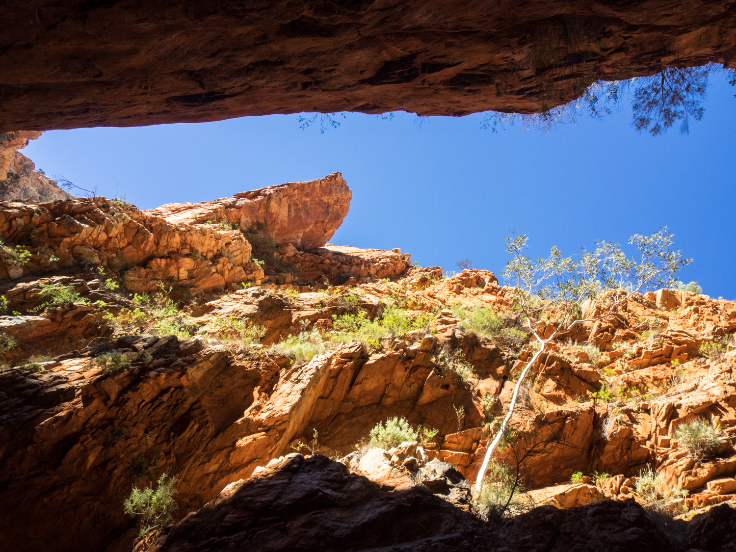
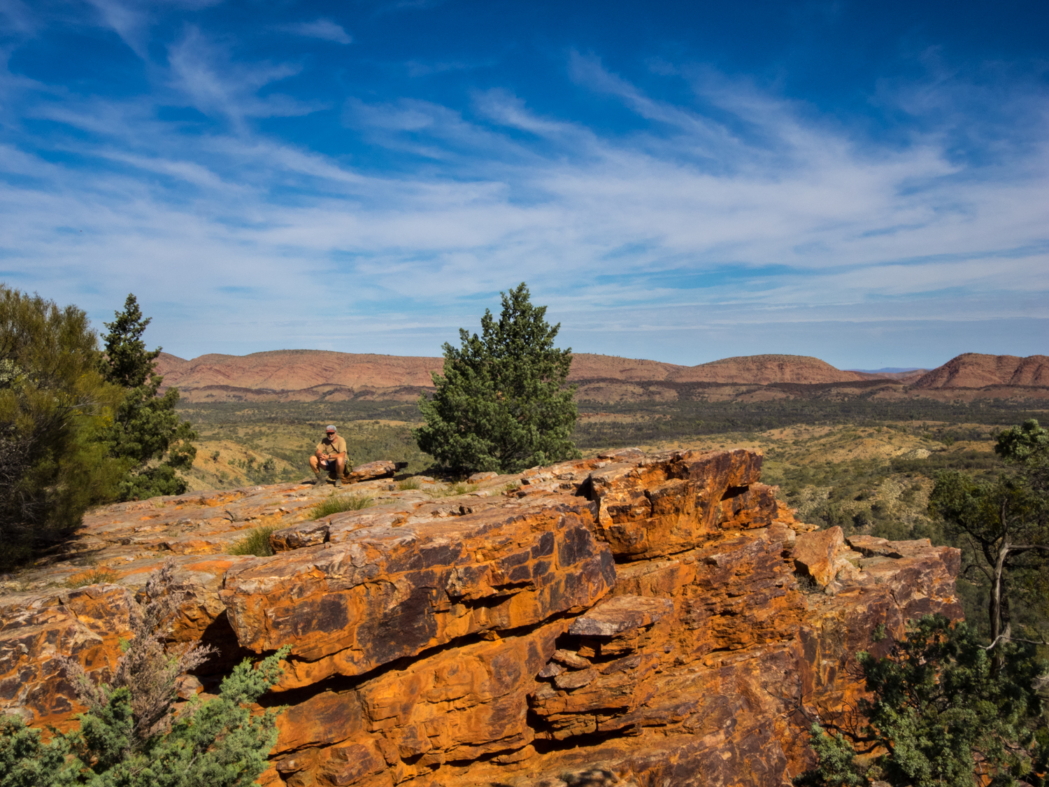
Next along the Range is Ellery Creek. As we approach, the shrill of tourists swimming in the near freezing waterhole echoes off the rock face. While this has its own majestic ambiance, the longing for a quitter place sees us head on to Serpentine Gorge, often overlooked by the passing traveller. We follow the dry river bed winding next to the twisted ghost gums, their white smooth trunks like candy stripes against the red gorge walls. But there is also more to this place than the dark crevices. Taking the Lookout Walk, the steep climb is worth the effort as we look out in to the expanse, the blue sky melding with the ochre red range.
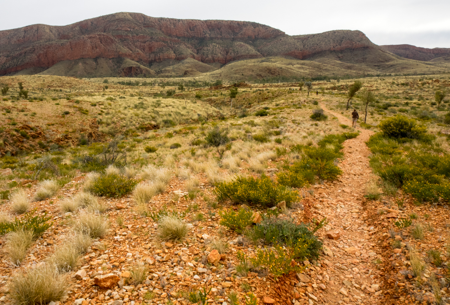
While we could have explored more, camp was calling at Orimston Gorge. While attempting the full 223km Larapinta Trail that follows the backbone of the West MacDonnell Range is on my wish list, todays walk will have to settle on the shorter 10km Pound Walk. Leaving camp early, the first thing we notice is a sign at the beginning warning -“High water level in gorge - possibility of having to swim to complete circuit”. Despite this we follow the well marked path that slowly ascended the ridge, the sounds of camp disappearing in the wind. As we reach the top of the saddle the spectacular pound encompasses the full horizon, the ridgeline circling out before us. It is moments like this that you realise that a 4WD can only take you part of the journey. From here we drop down in to the pound and snake our way through a patchwork of red, green, yellow - rocks, grass, wildflowers. The Range is known to the local Arrernte people as ‘yeperenye’ or caterpillar, and following this winding track the name is apt.
Jumping from rock to rock over the broad creek bed of the Osmington Creek, we began to question the sign we had seen earlier. After a further hour of rock scrambling the trail begins to enter the narrow gorge, the sides changing to towering sheer walls with the water getting progressively deeper. The last 10 minutes of the hike was about to leave an indelible memory. Not because of the magnificent scenery. No. We were about to strip down to our underwear and wade through neck deep water that had been chilled to freezing point having passed through ancient sands.
The next day we head further west. The further west you travel the less crowded it gets, the day tours finally getting out of reach. Reaching Redbank Gorge we are finally able to experience the solitude of the waterhole, as the dragonflies skim across the surface, more knowing than us how cold the water really is.
Leaving the West Mac Ranges the road leads to Tylers Pass where we are greeted with a ring of weathered hills rising 180 metres above the desert. Science and dreamtime stories come together with both telling the story of the creation of the circular rock walls due to an object falling from the sky. Reaching Gosse Bluff, we don the walking shoes again and explore the base of the crater.
Departing the Bluff, the road finally reverts to the red dust we are used to as we make our way to Finke Gorge National Park. Not far from the turn off, Hermannsburg appears as a juxtaposition to the remote landscape. The site, established by German missionaries, is much like it was in the 1800’s with the white washed stone buildings sheltering from the heat under the date palms. Just out of Hermannsburg we stop at an unimposing cottage where the famous artist Albert Namatjira lived. Despite my best efforts to capture a photo of the MacDonnall Ranges, they do not compare to his richly detailed paintings of majestic ghost gums brought to life on canvas.
Taking the turn off to Palm Valley we are greeted with a sign “Severe 4WD Route – Allow 3 Hours”. While the track in is not as bad as the sign makes out (I assume it is to keep the backpackers out with their hire cars) it is still an interesting drive through sand drifts and rocky river beds. Setting up camp is a welcome change to the more bustling sites of the Mac Ranges.
The next morning we take the short drive to Palm Valley. Leaving the car, it is time to again ‘go walk about’ in this ancient land. While a ‘Walkabout’ is a young boys right of passage to honour their ancestors and reflect on life, we have our own chance to reflect on the majesty of this ancient landscape. Walking through the rare red cabbage palms, relics of the ancient rainforest that once occupied this land, this unique species has become a time capsule of a forgotten place.
Leaving camp we join the Mereenie Loop that links to Kings Canyon and Uluru. This wide red corrugated road is like many outback tracks with the level of difficulty determined by the last time it was graded and how much rain they have had. Occasionally there is the reminder of how popular this area is, with a road sign saying ‘Acthung. Slow down. Drive on the left’. It will be a sad day when this road is fully sealed.
While the home comforts of Kings Canyon Resort may appeal to some, further on is Kings Creek Station. This working cattle and camel property has excellent campsites amongst the shade of desert oaks. While there is enough to keep you occupied here for days from quad bikes to camel rides, the real reason to visit is Watarrka National Park, also known as Kings Canyon.
Again the only way to experience this natural phenomenon is to walk. The 6km Rim Walk is the most spectacular and it is not only the 5oo stairs at the begging that leave you breathless. The sandstone chasm disappears 270 metres to the canyon floor the walls appearing to have been sliced by a knife.
There is one more stop that pulls all visitors to its centre like a vortex. It does not matter if you are an overseas tourist, a local or a traditional owner of this land, Uluru has the power to change you well beyond just its physical presence. Standing looking at this huge monolith, you are looking at the soul of Australia.
There is no doubt that travelling to Uluru could be seen like visiting a theme park with its controlled opening times and restricted areas. As we follow the other 500,000 people a year that have watched the sun set, the initial popularity is soon forgotten. As the sun sets the symphony of colour on the rock begins to change, Mother Nature becoming an artist as though dipping the brush in a rainbow.
Our final walk on this part of the journey involves a decision. “Should I climb or shouldn’t I?” Many who come here feel that it is their right to climb. Others respect the traditional owners who ask us to refrain. My decision was more driven by a desire to come see the different faces of the rock.
From a distance Uluru appears like a vertical wall erupting from the flat expanse. But taking the 9.4km walk around the base you can fully appreciate the millennium of erosion causing ridges and valleys stained black from the rare rain events, the flaking stone like layers of an onion, the mystical caves, the hidden water holes, and the ancient paintings.
Part-way around you come to an area with signs saying ‘photographs not permitted’. I can understand why this part of the rock is considered to be so special with its large overhangs radiating a power and presence. While I slip the camera in to its bag, as a landscape photographer I feel I want to have the same connection to this place and to capture and share it, like Albert Namajera in his paintings or the aboriginal stories that are passed on to future generations.
Edvard Munch, the expressionist painter said “Nature is not only all that is visible to the eye.. it also includes the inner pictures of the soul.”. Photographing the wonders of Kata Tjuta or the changing light of Uluru is about communicating the inner soul of Australia. It is about communicating our connection with this land. And there is no better way to do this than spending time in the outback .…. Walking.


