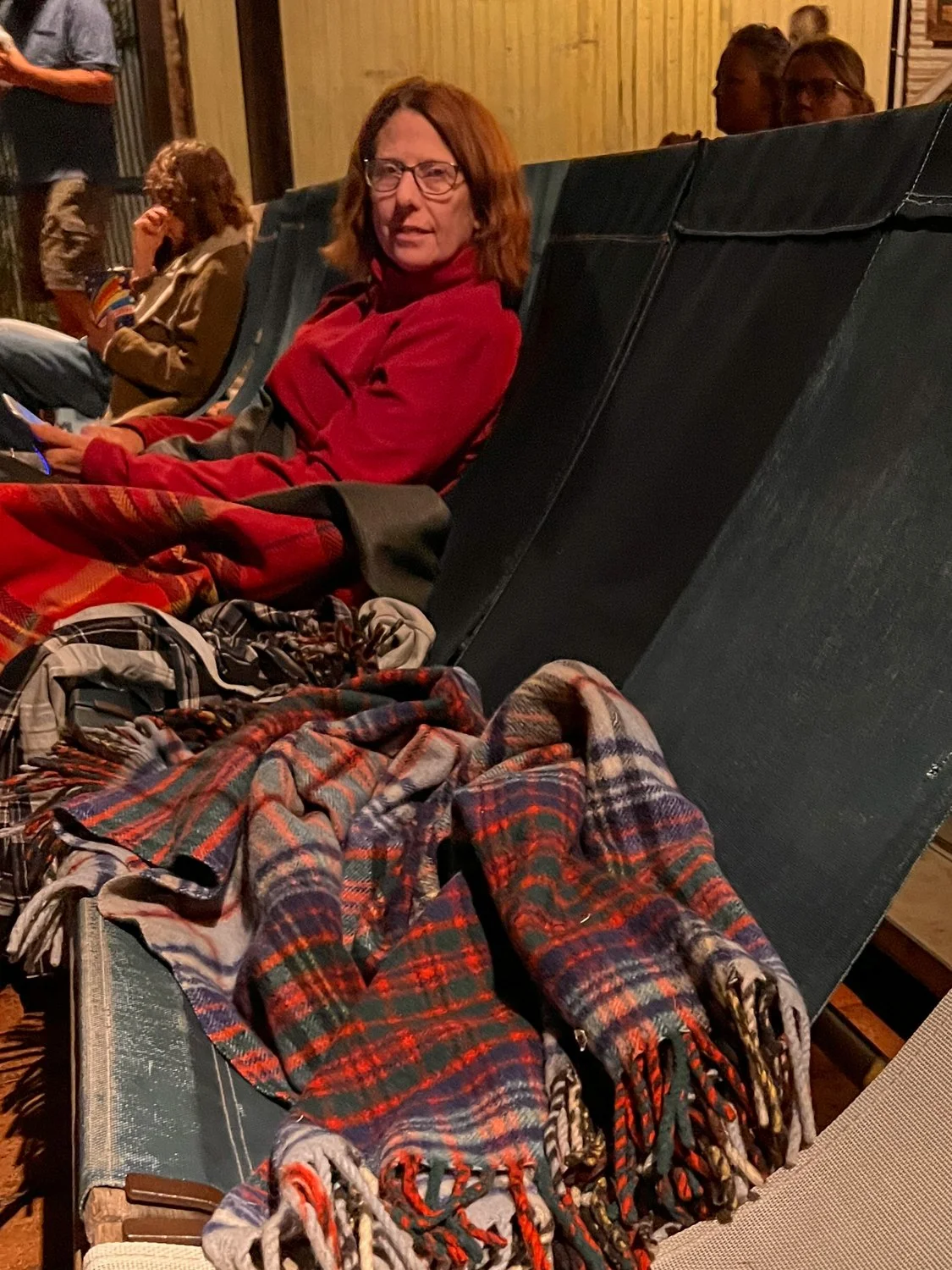
Day 66: Logies Night
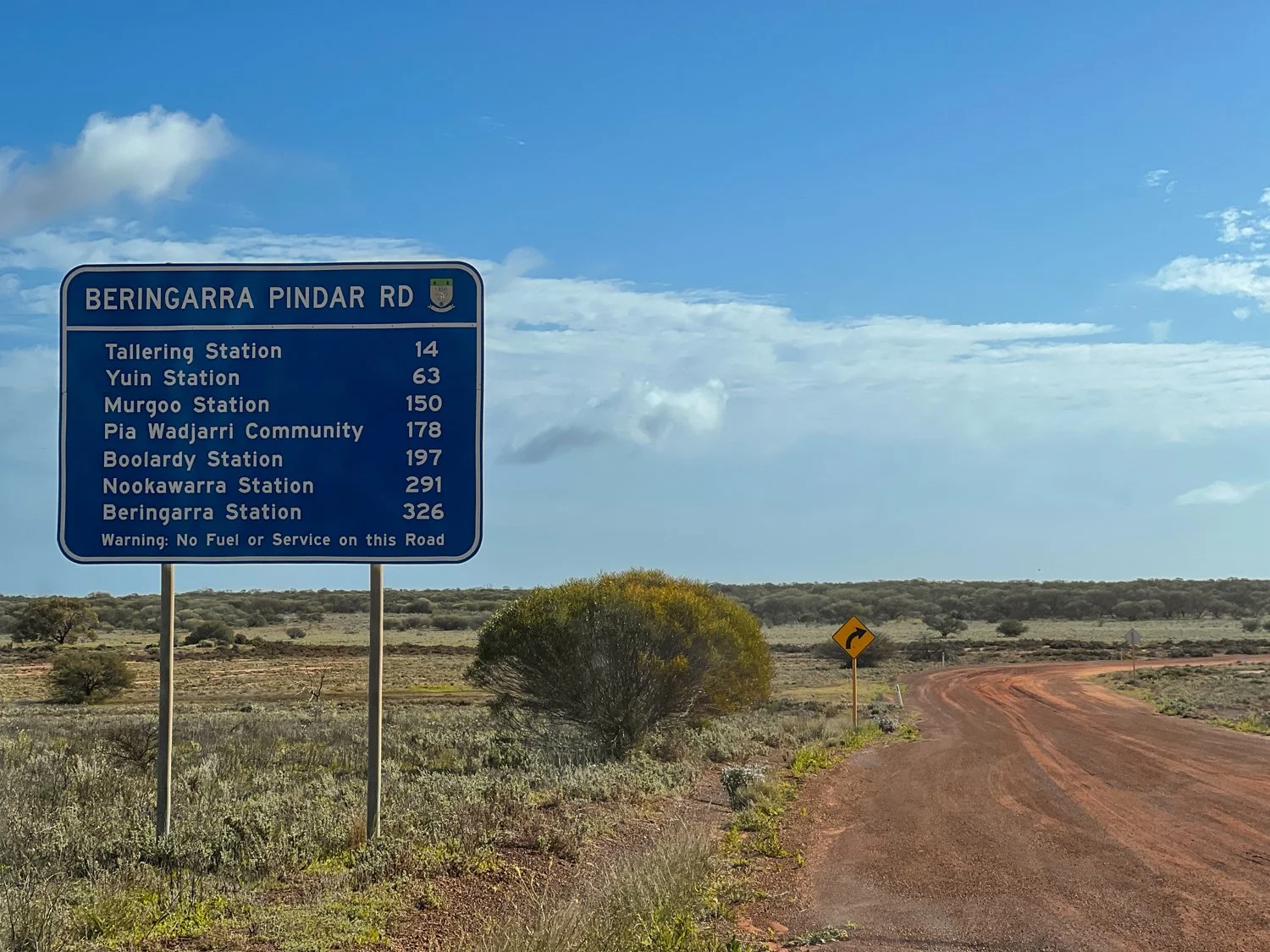
Leaving Kimba we had some decisions to make. To either stay on the Eyre Peninsula for another night with the prospect of rain or push on homeward. Like a horse that has turned for home, the pull was greater than staying. However, rather than going home via Renmark the chance for a few more nights deeper in the outback, we headed north east towards Broken Hill.
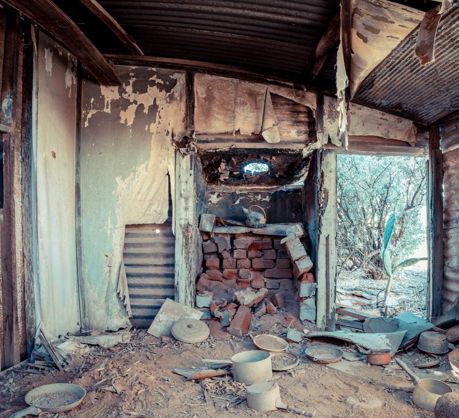
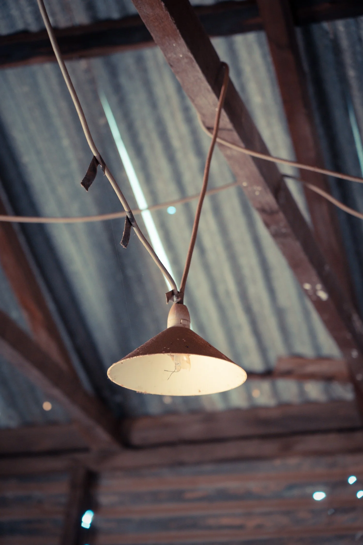
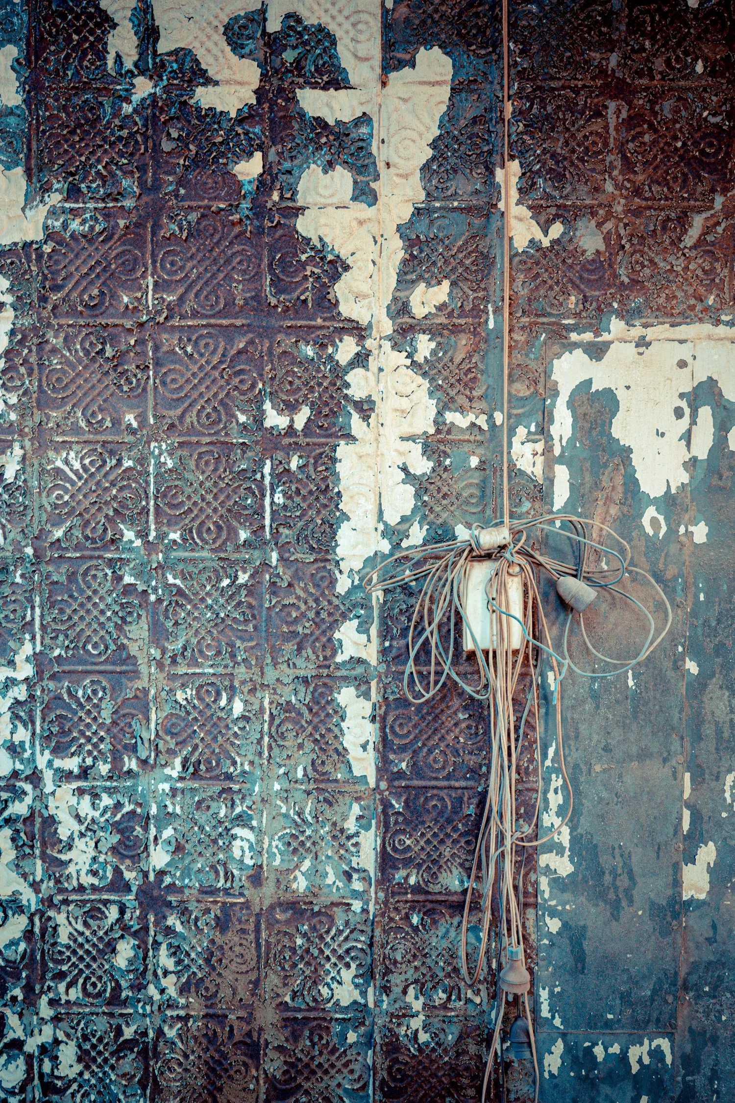
It’s seems appropriate to now be sitting at Waukaringa Hotel on one of our last days of the trip. Now I know what you are thinking - “another hotel - what about camping?”. But there is no chance of a room or a beer at this hotel. The hotel built in 1889 is now just a crumbling ruin of stones amongst a plain of salt bush. This was the same location I camped over 8 years ago on our previous half lap up to Darwin.


I won’t go into any more details of today’s trip as it was largely a travelling day but tonight is also Logies Night.
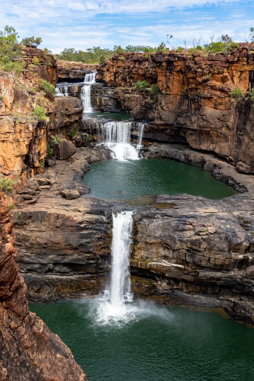
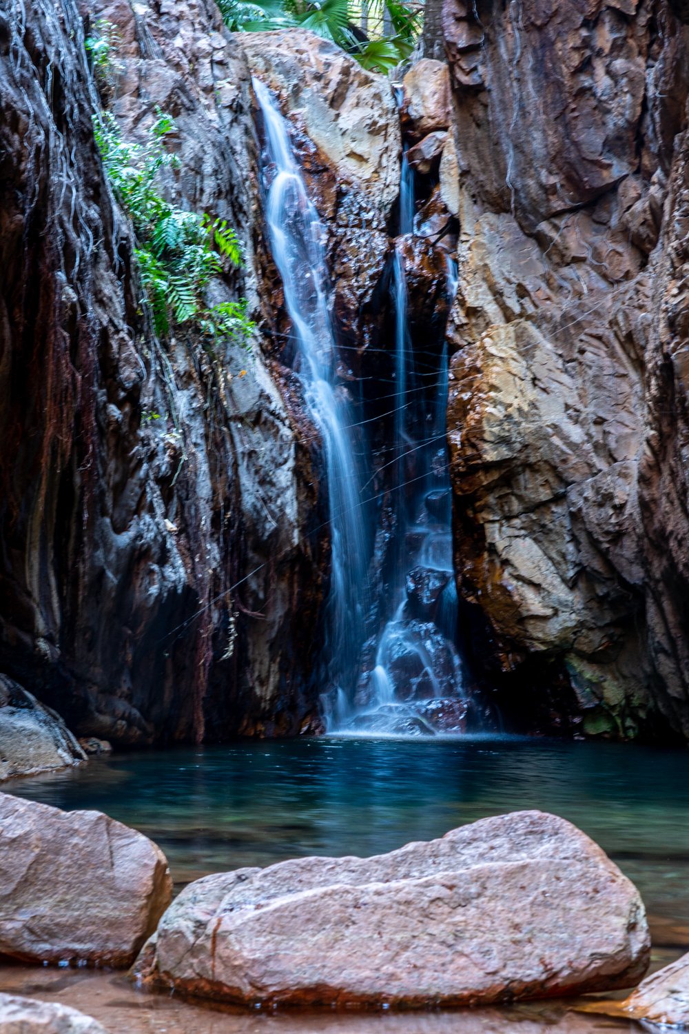
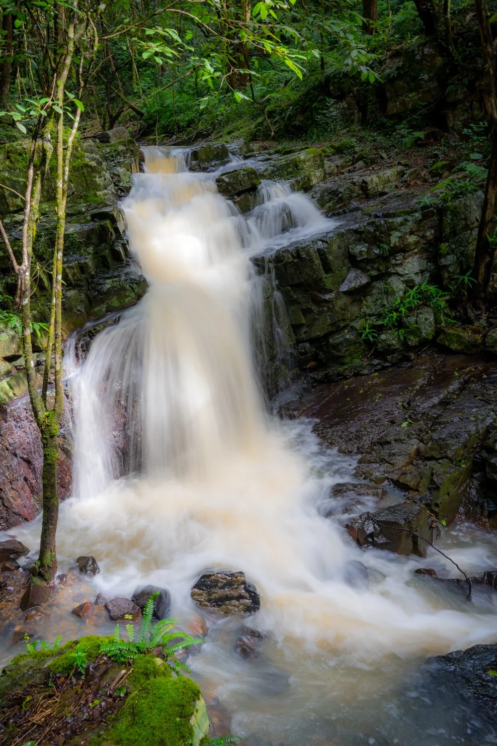
Best waterfall:
Highly commended: Manning gorge; Mitchell falls; Emma Gorge; El Questro Gorge
Winner: Not only for the waterfall but the hike to get there
We won’t mention Galvins Gorge where Hux lost his hat ☹️
Most interesting rock formation:
Highly Commended: organ pipes, national Park; Murphy’s Hay Stack; Pildappa Rock, Nullarbor caves
Winner: Pernalulu Bee hives. Just WOW.
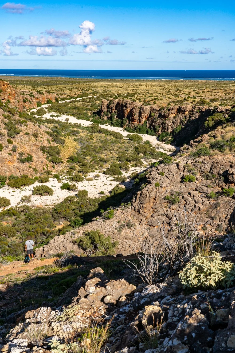
Best Gorge:
Highly Commended: El Questro gorge; Echidna chasm, homestead Gorge, mini Palm gorge; cathedral; whip snake: Charles knife and shot hole canyons, cape range national park
All were winners as they were all unique in their own way.


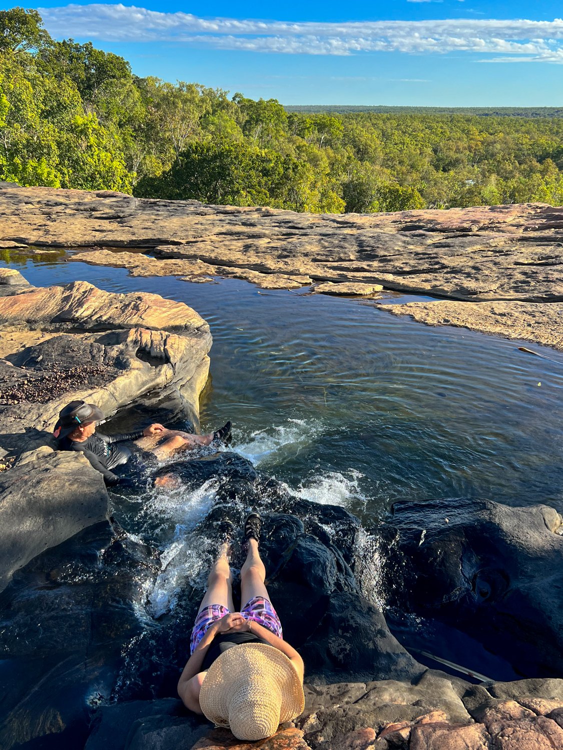
Best swimming spot:
Highly Commended: Ellenbrae watering hole; Zeberdy springs; Little Mertons upper and lower pools, Mitchell falls; Lake argyle; Emma gorge; James price point; thermal pool, Francois Peron National Park
Winner: a hard fought category but Manning Gorge because Kathy loved it
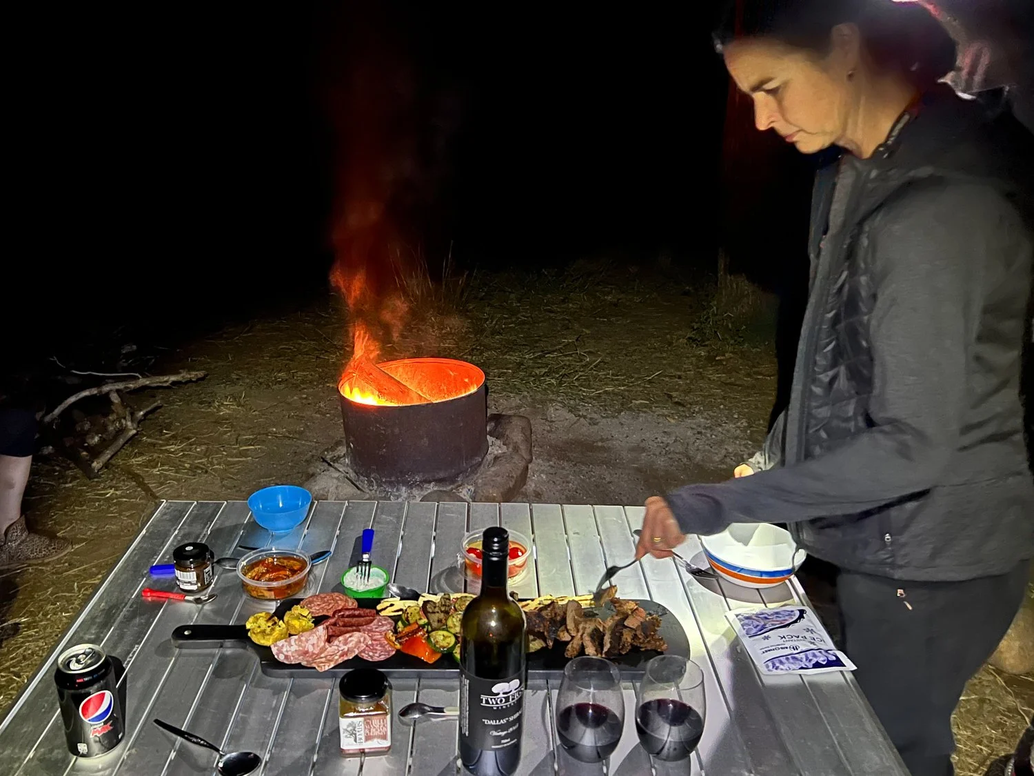
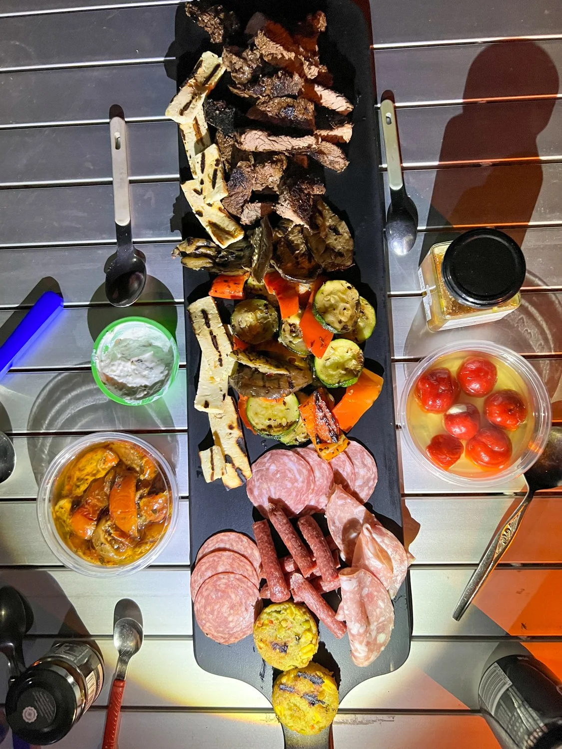
Best camp meal:
Highly Commended: every meal we made. Food just tastes better when you are camping.
Winner: Tasting plate at El Questro with a nice bottle of red wine
Special Mention: having dinner looking out over the painted desert, Coober Pedy.
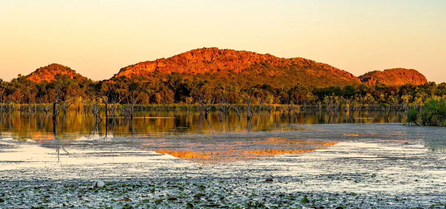
Best overall campsite:
Highly Commended: Nullarbor cliff tops; Private site at el Questro
Winner: Stretch Lagoon, on the Canning Stock Route
Special mention: underground camping at Coober Pedy
Hardest ground to get in tent pegs:
Highly Commended: Almost every site we pitched the tent
Winner: James price point - finally resorted to using an electric drill
Sports champion:
Highly commended: me at darts and pool
Winner: Hate to say it but Hux at Bocci
Worst road:
Tanami track; Cape Peron; road into Pernallulu
Clear winner: Track into Mitchell falls
The Gibb didn’t even get a nomination
Best car repair company:
Equal winner: West Kimberley Auto, Derby; Reeve Truck Align, Port Headland. We could not have competed the trip without them

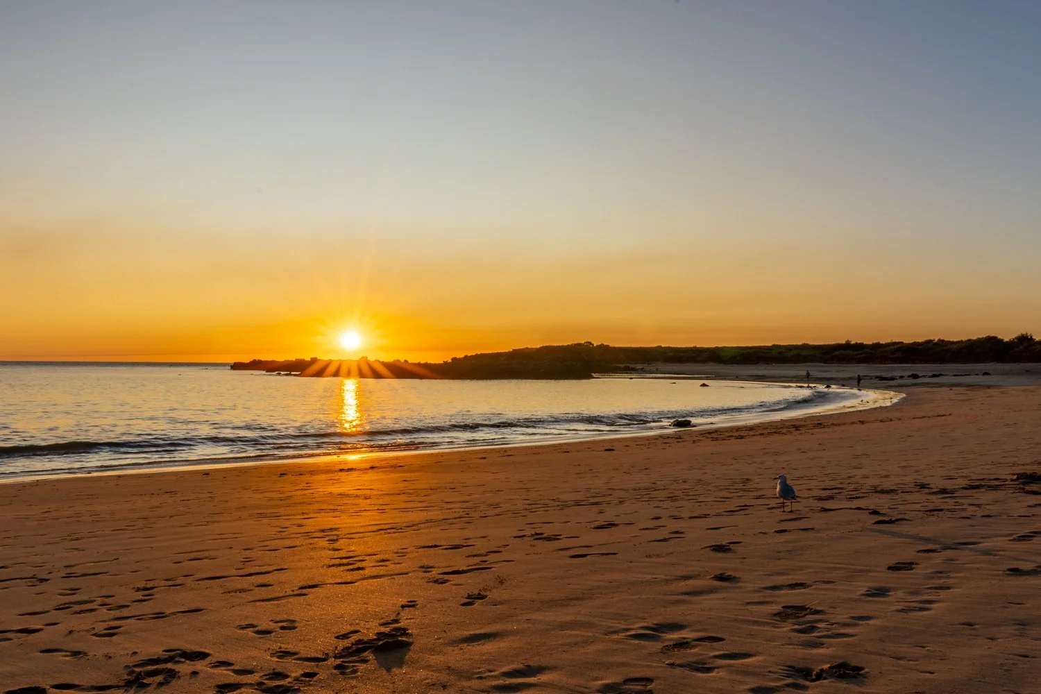
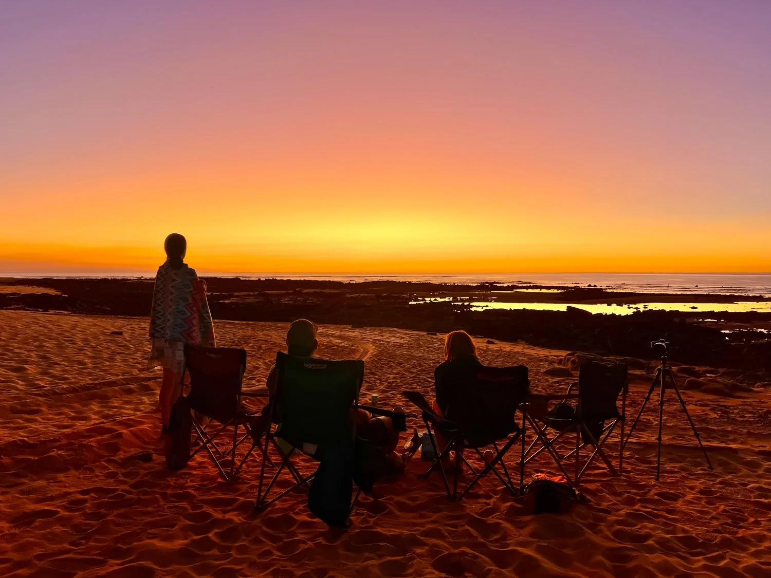
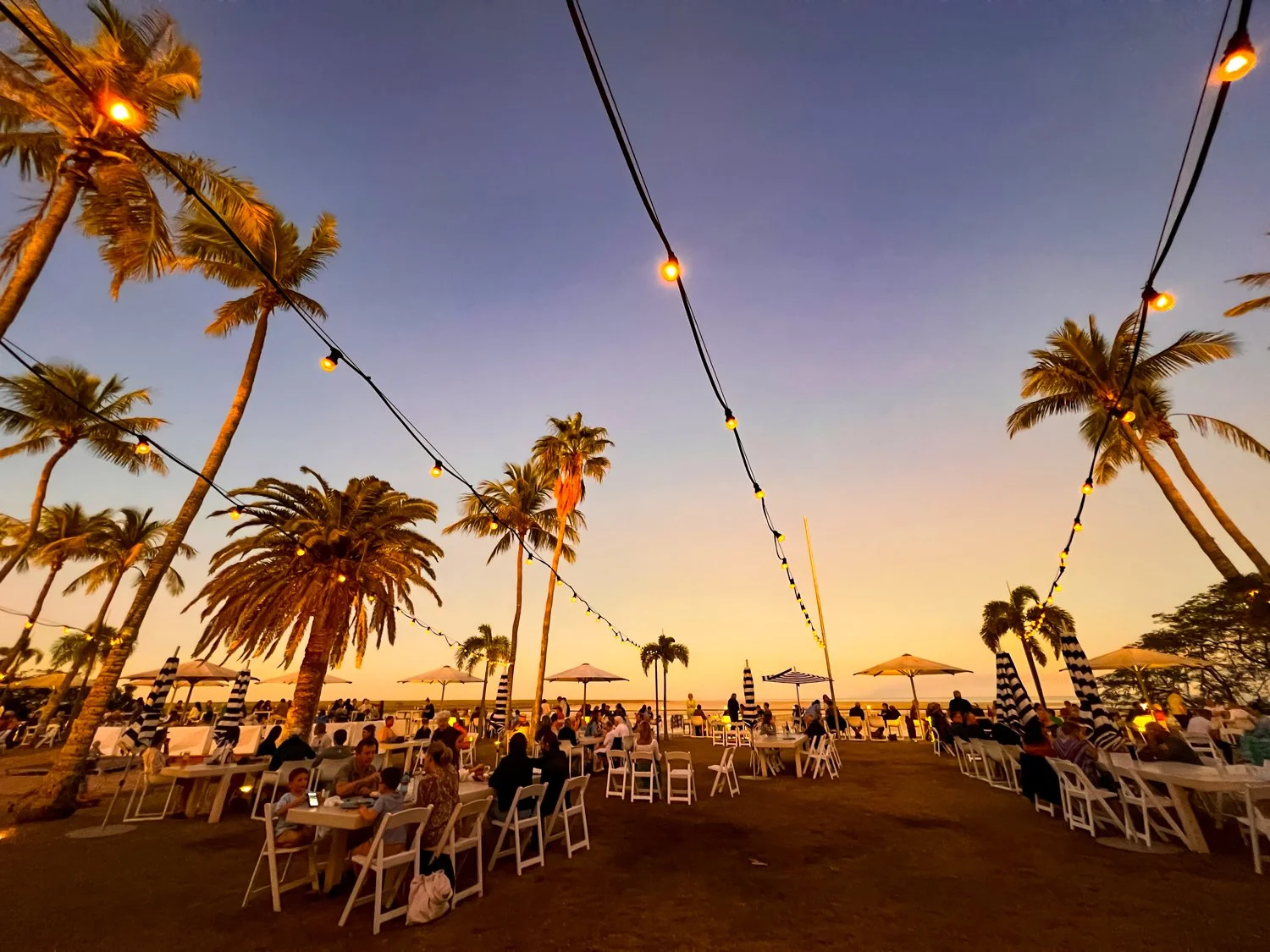
Best Sunset:
Highly commended : All of them were amazing - any in the Kimberley, Cape Range NP, Henbury Crater, on boat in Ningaloo, Lake Argyle, Pernululu NP, Cape Peron NP.
Special Mention: Cable beach just becuase it is so famous
Winner: Murphys Hay stacks - such an amazing colour
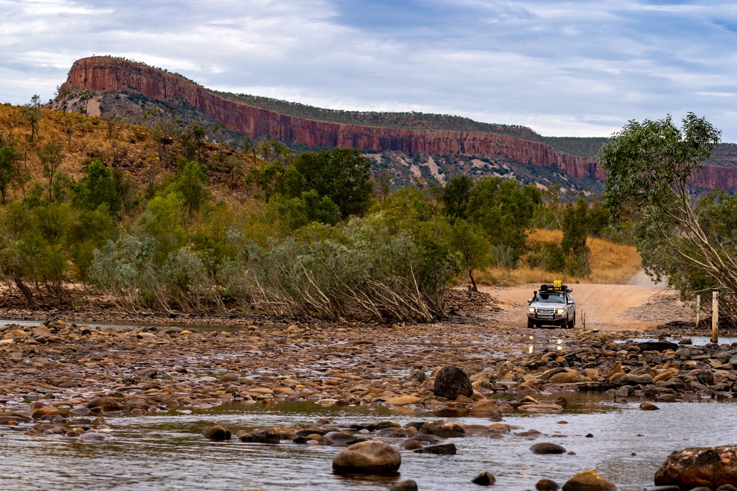
Best water crossing:
Highly commended : Ivanhoe Crossing, kunnanurra; Any of the crossing in Pernallulu
Winner: El Questro Gorge track
Pentecost River got a very disappointing mention here
Coldest night
Winner: Gawler National Park
Special mention: almost getting blown off cliffs at the Great Australian Bight
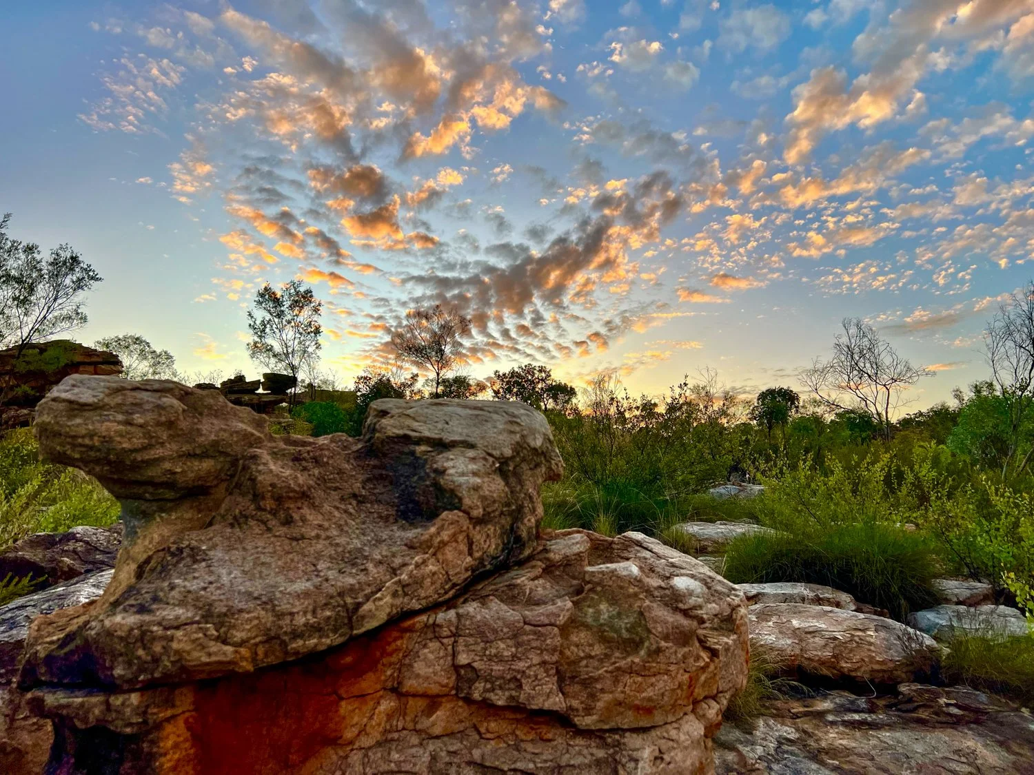
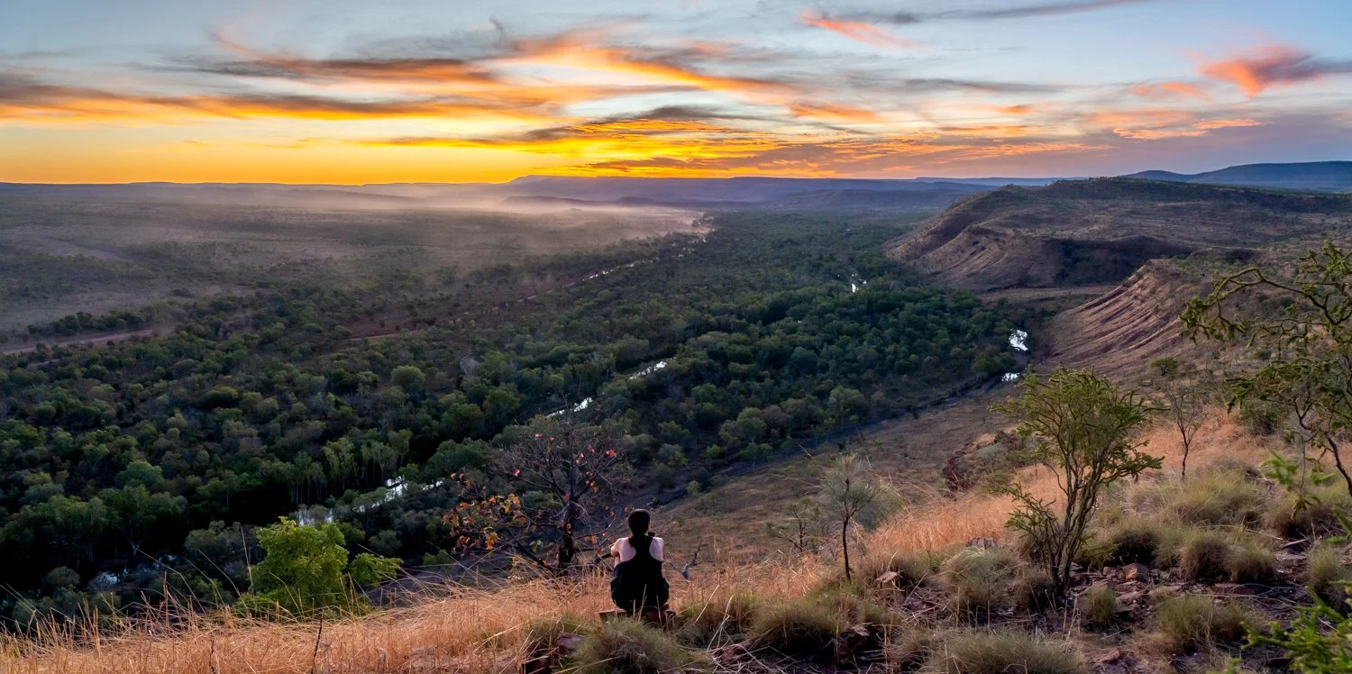
Best lookout:
Highly Commended: Painted Desert, Coober Pedy
Winner: Mount Allalone, mainly because it was remote and not on the normal tourist list
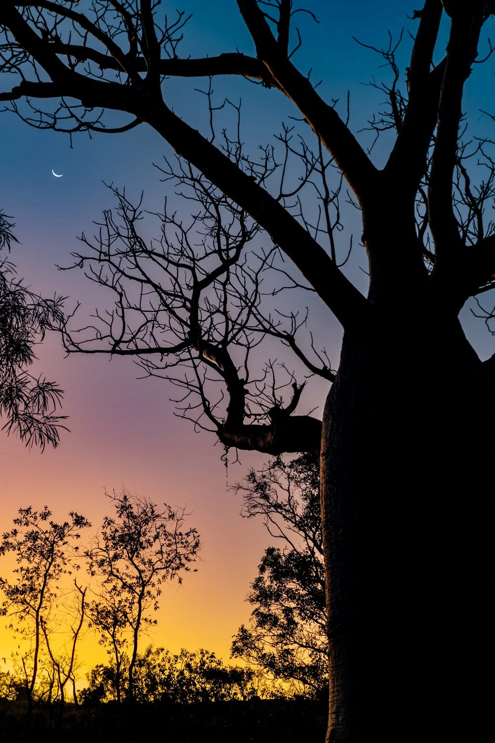
Best moon encounter:
Equal winners : Stairway to the moon, Broome; Getting up at 5am to watch the moon set at James price point


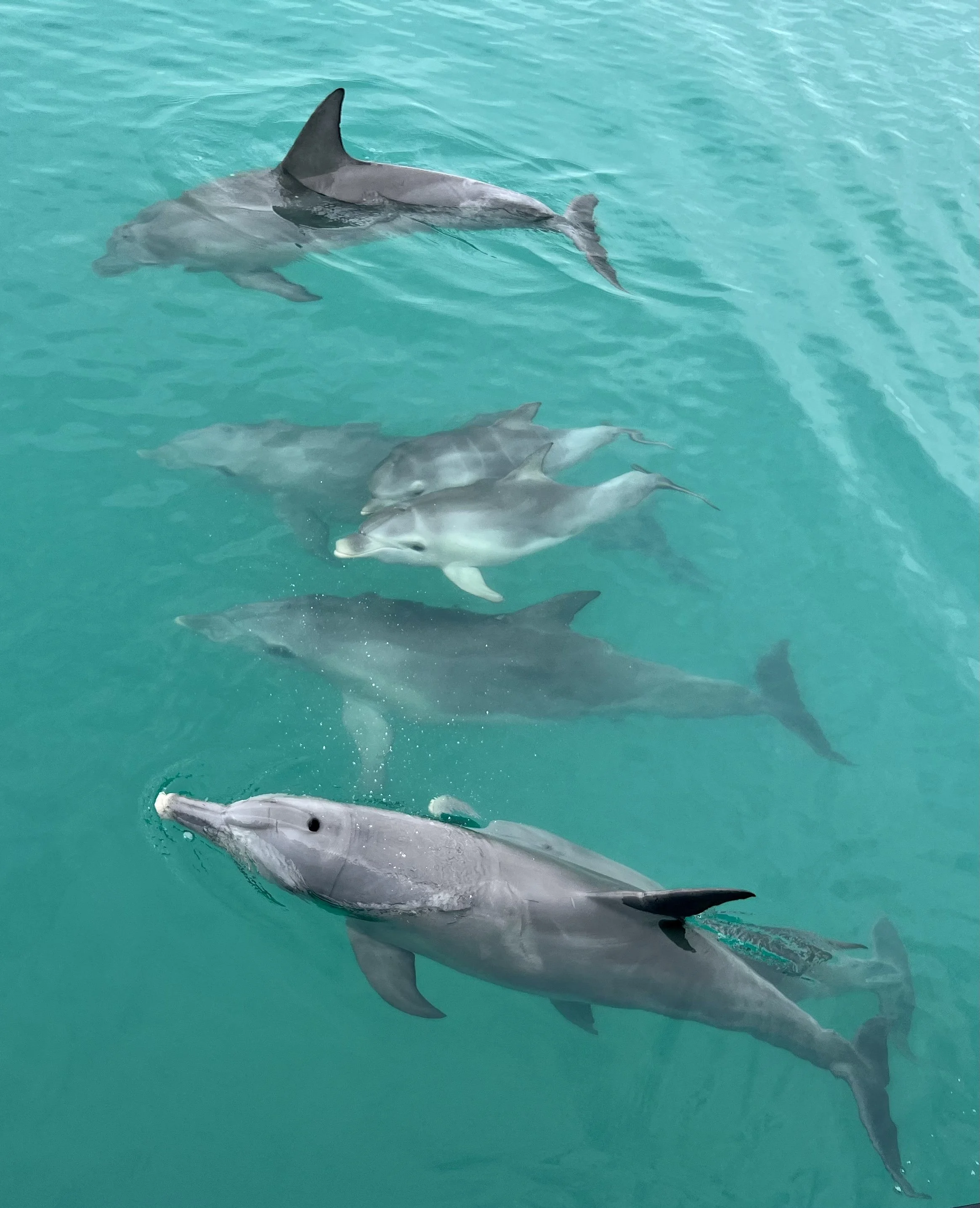
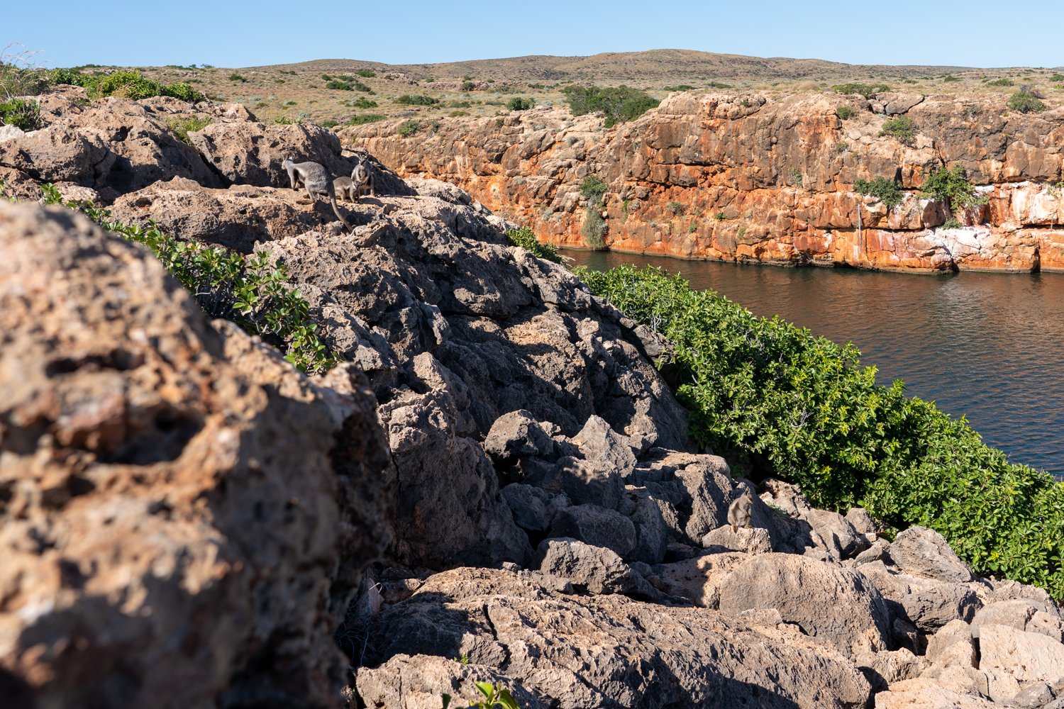
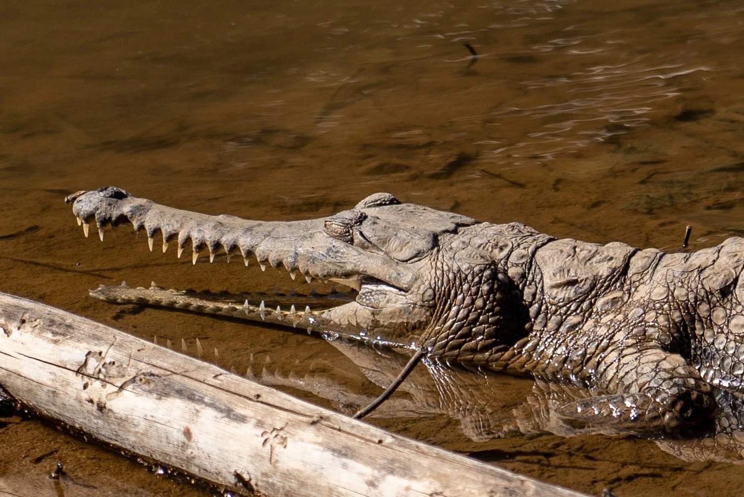
Best animal encounter:
Highly commended : freshwater crocs at Windjana ; dolphins at monkey Mia; dugongs at Monkey Mia; sea lions at Point Lebatt; fish at the oyster stacks, cape range NP; crocodiles at Lake Argyle, crocodiles at Kunnanurra
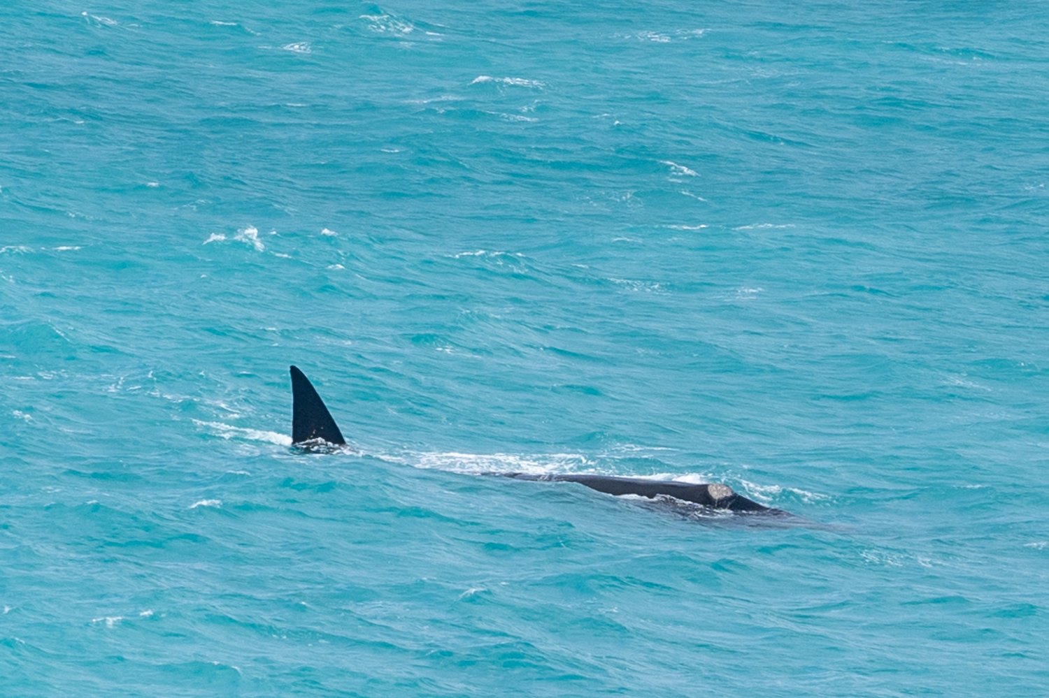
Special mention: southern write whales at head of bight Marine Park
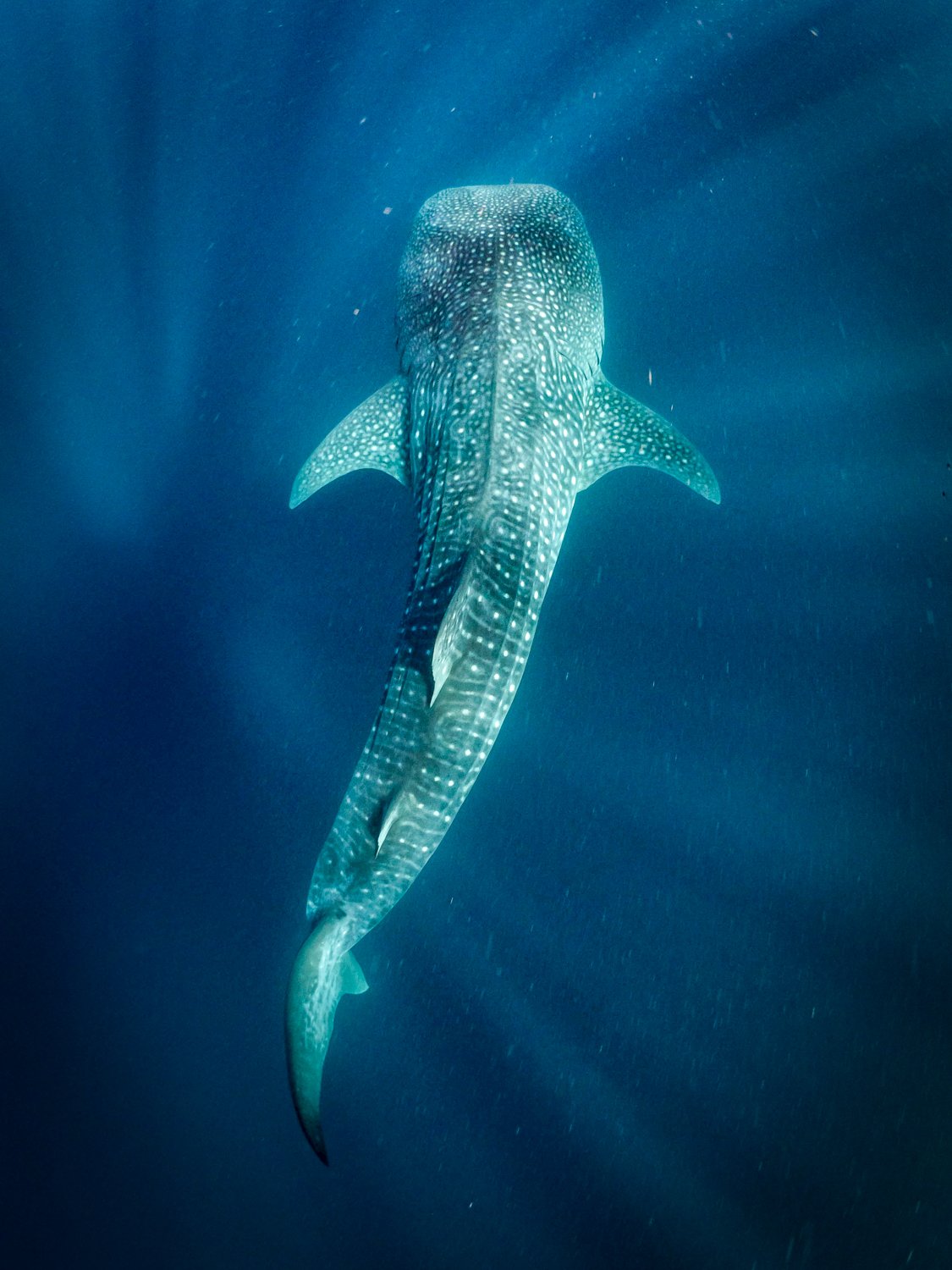
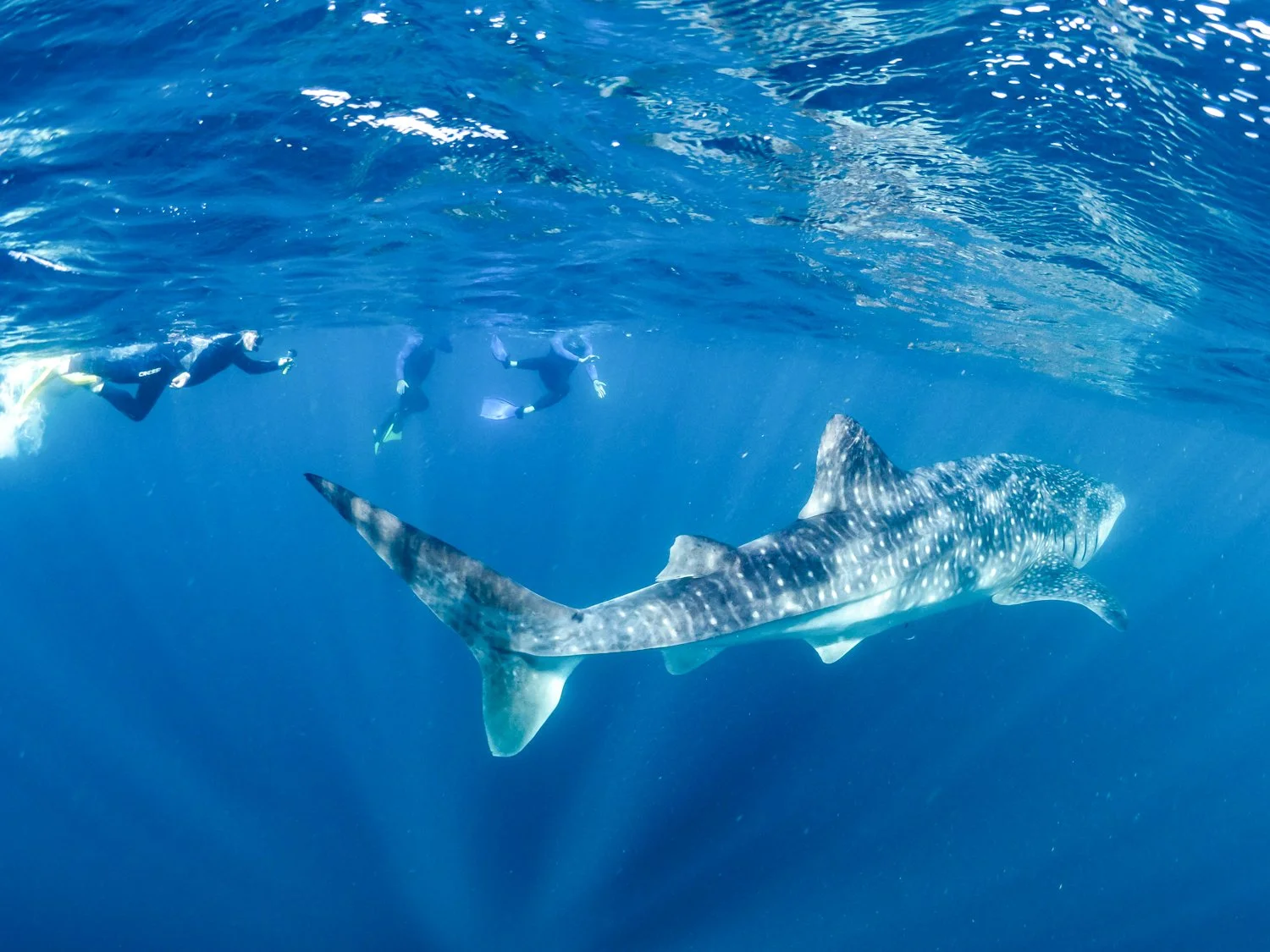
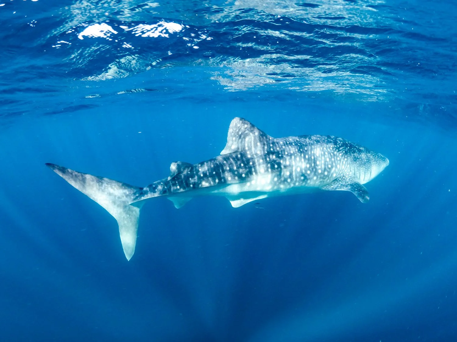
Winner: swimming with whale sharks at Ningaloo
Coldest Swimming Water
Highly Commended: Lake argyle swimming pool
Winner: Emma gorge
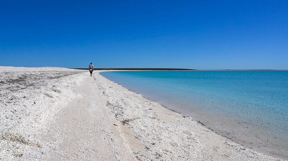
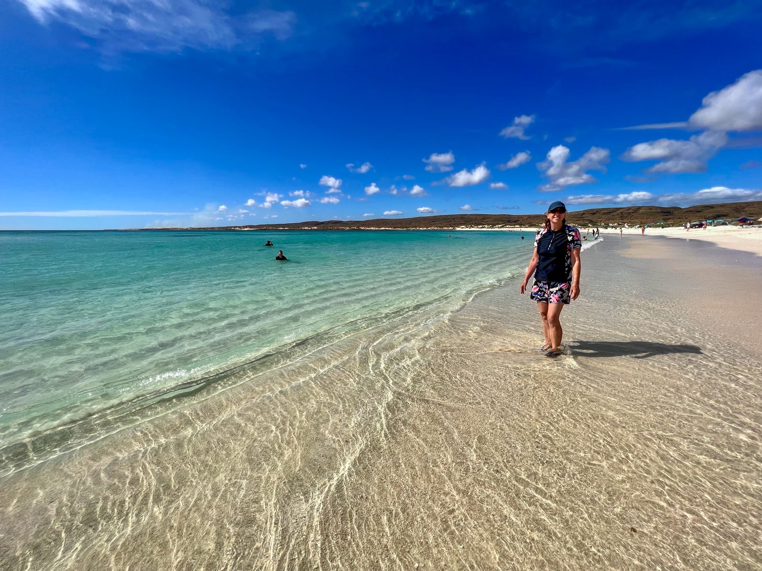
Bluest water:
Winner: Turquoise Bay, Cape Range National Park
Best shower:
Outdoor shower under the boab tree, Ellenbrae
Gwalia shearing shed shower
Winner: Any of the warm showers after several days camping
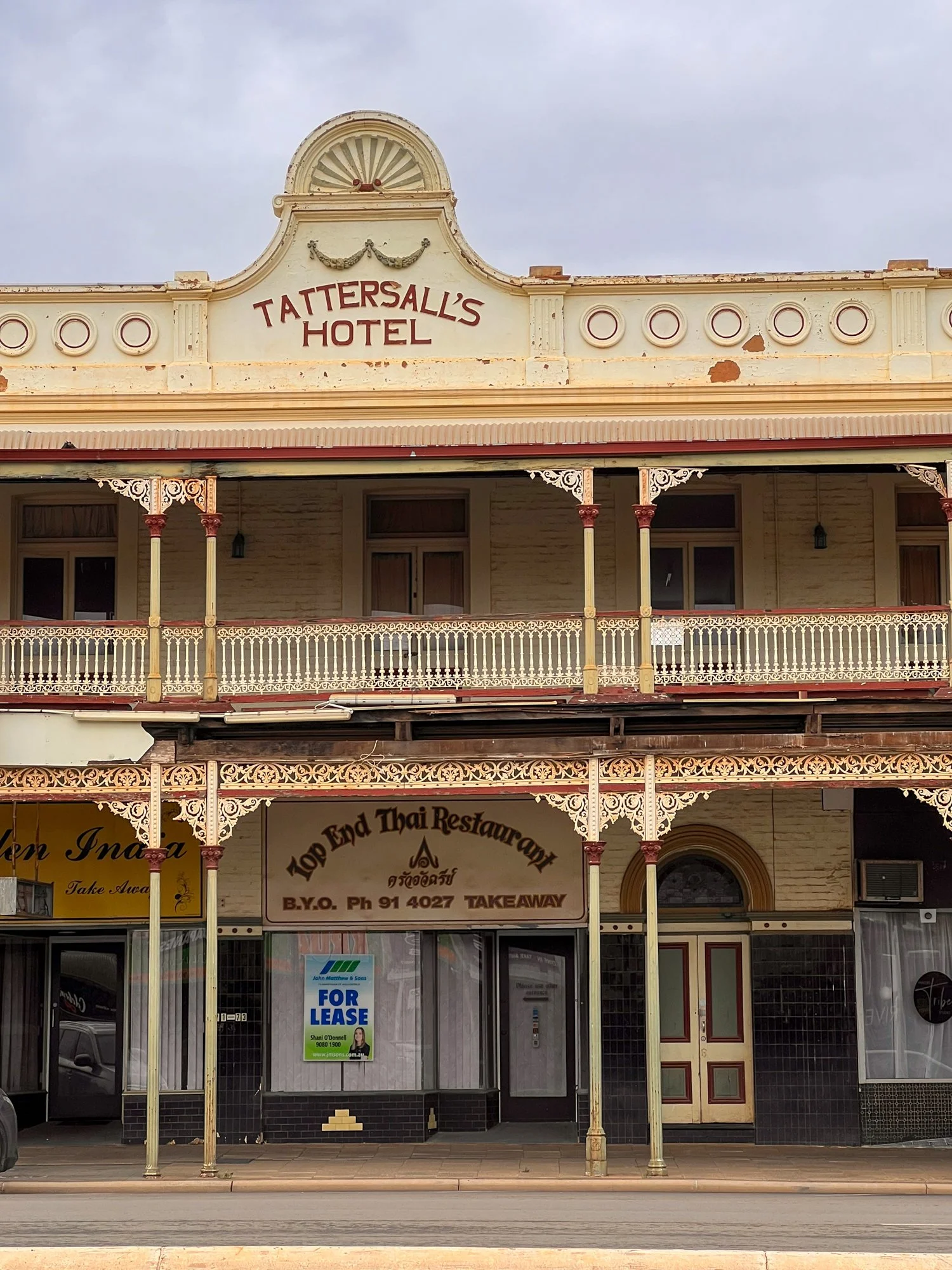
Best Hotel We actually Drank in:
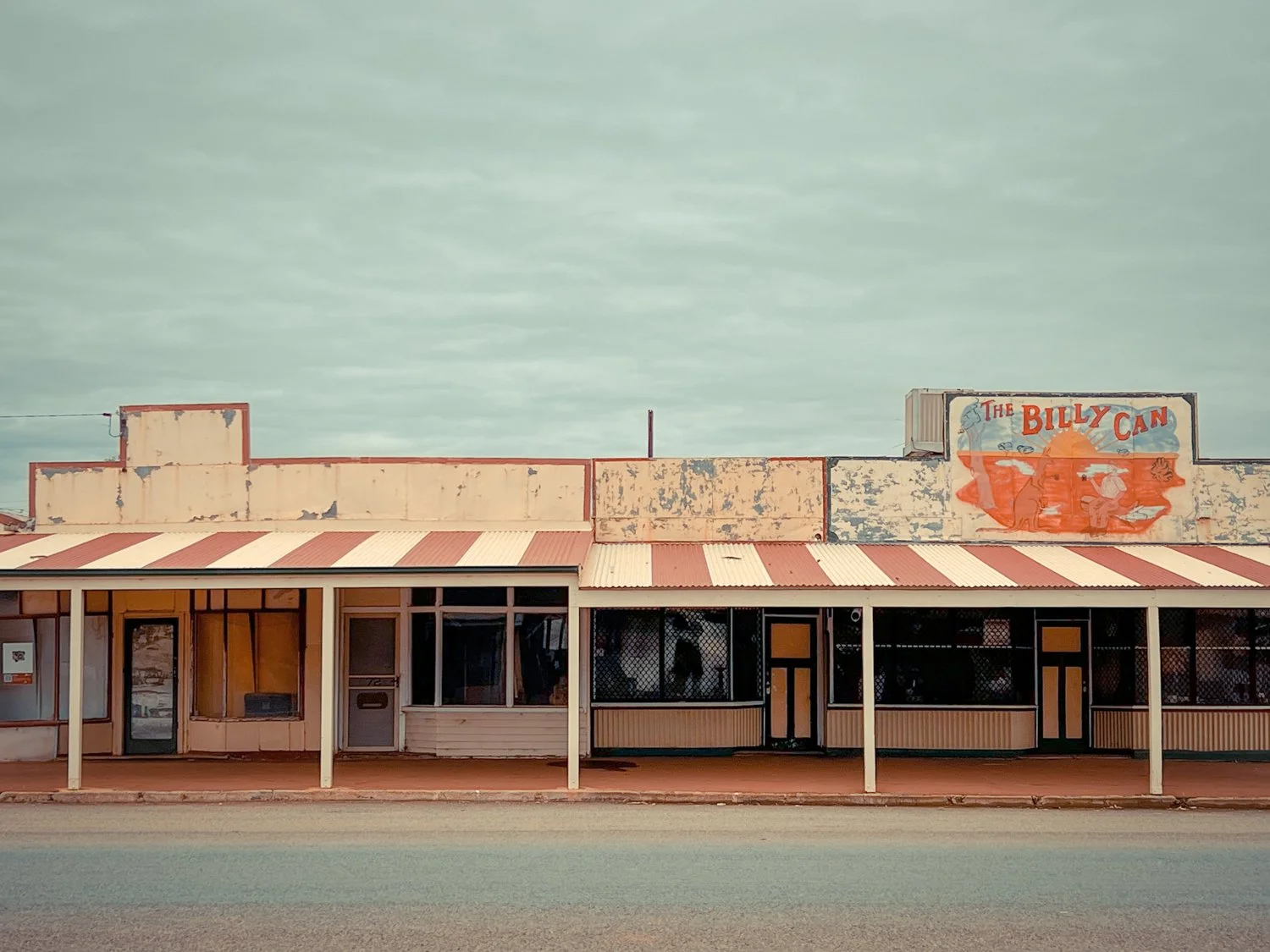
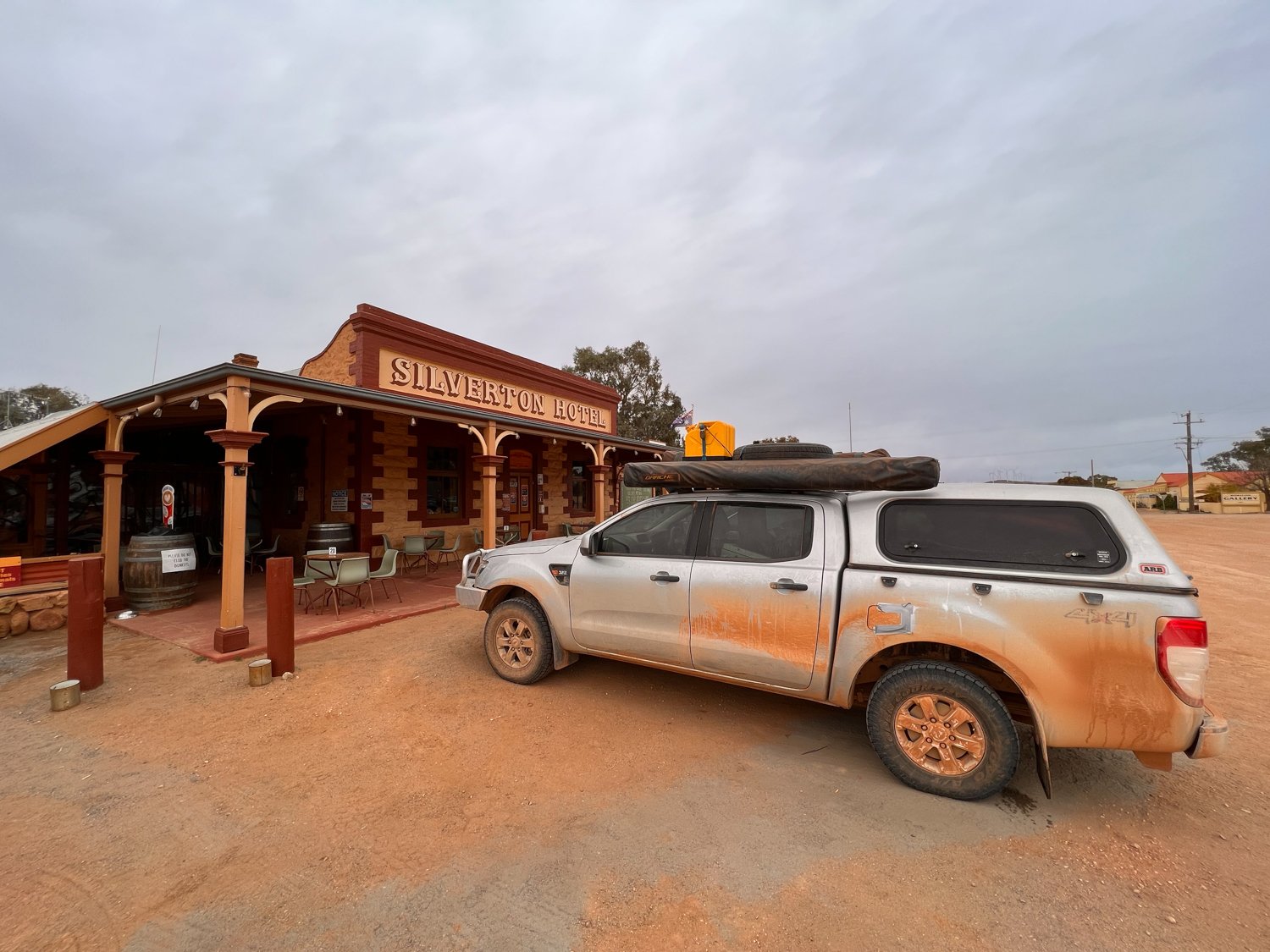
Highly Commended: Palace hotel, Broken Hill; Silverton Hotel; Yunta Gotel; Norseman Hotel, National Hotel, Sandstone; Penang Hotel; Kimba Hotel; and I am sure I missed several others
Winner: Yalgoo Hotel, mainly because it is definitely not the normal tourist hotel people talk about.
Special mention: Pier at Port Hedland for introducing me to skimpies


Best toilets:
You really should ask Kathy that but there is no doubt WA National Parks need to be congratulated on their facilities
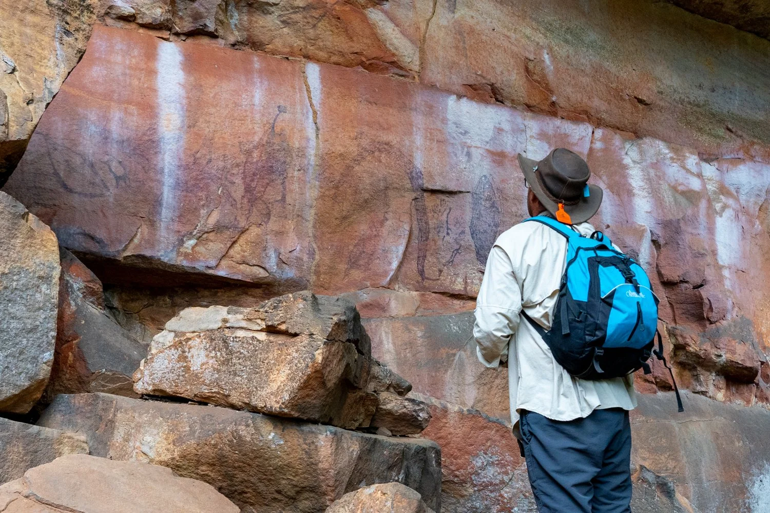
Most interesting character we met:
Highly Commended: Dennis cash from the haystacks - read day 62; Crackers - some strange local at a pub
Winner: Dennis Omeara the tow truck driver - read Day 32
Best campfire
Highly Commended: Murray river, Mildura; Stretch Lagoon
Winner: side of the road somewhere on the middle of the Tanami Track.
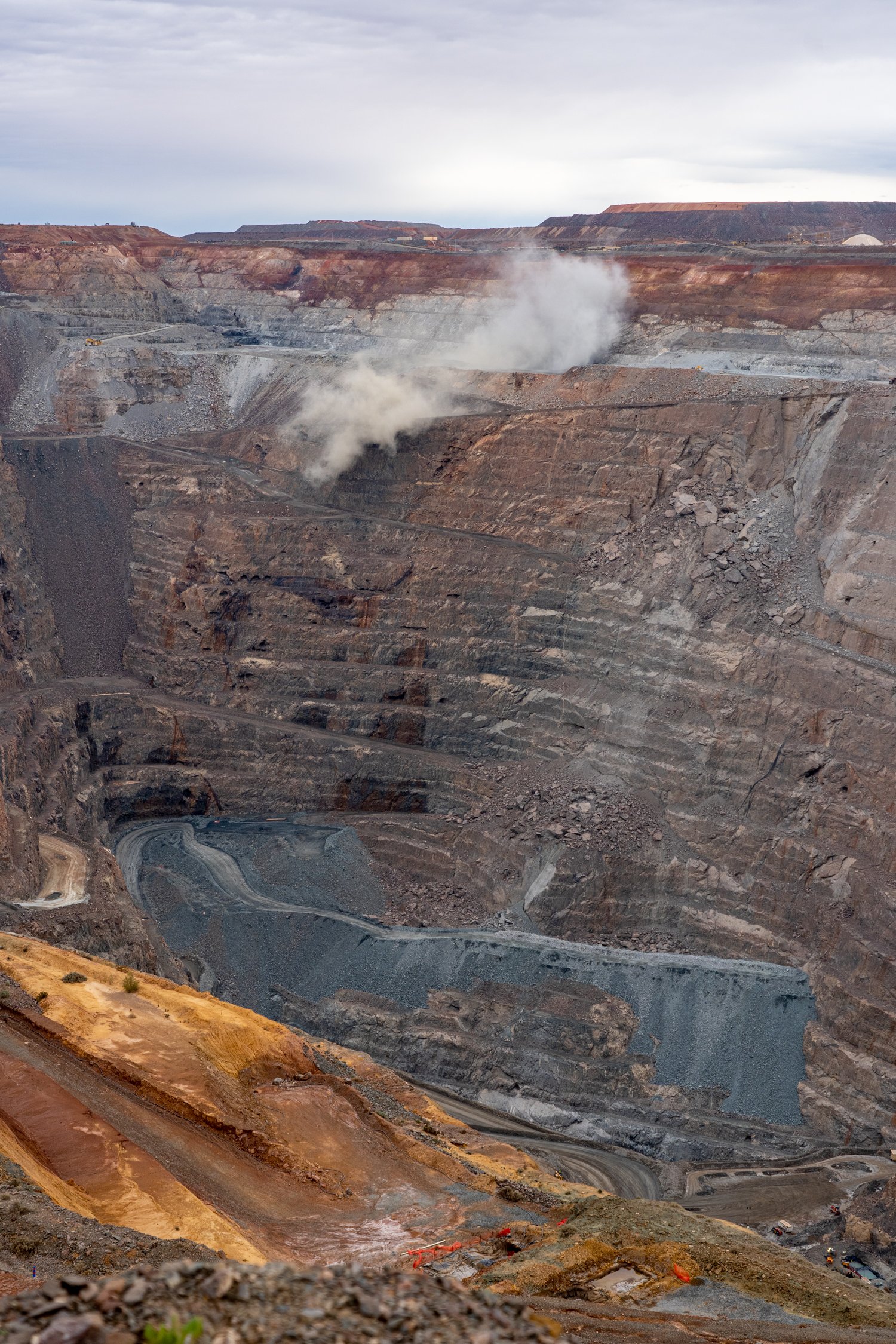
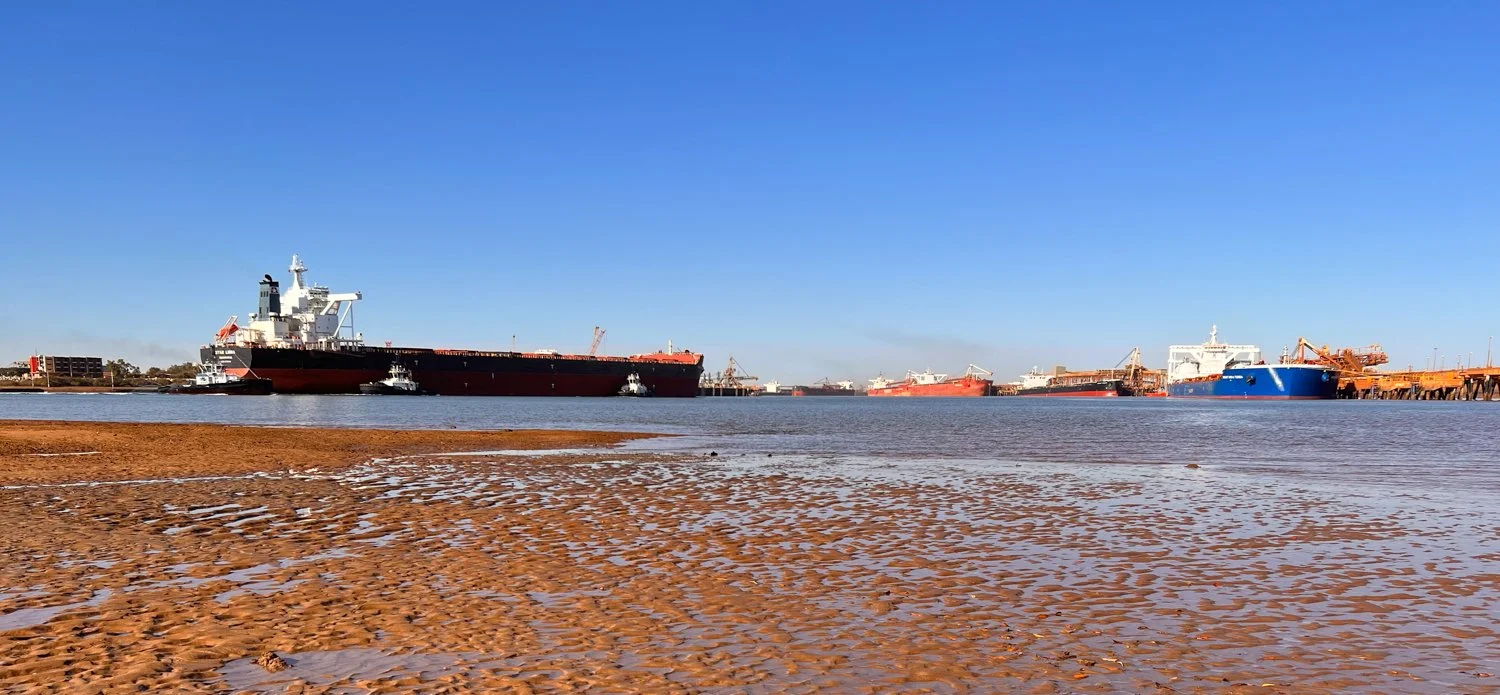
Most impressive mine:
Highly commended: salt mine at Port Hedland; underground mine Coober Pedy
Winner, Super Pit at Kalgoorlie. While I would give it an F for environmental protection there is no doubt a hole that appears to go to the centre of the earth is impressive
Best thing we took camping:
Highly Commended: the fire pit, small mini table, pool noodles flame thrower, jet boil
Winner: battery chainsaw - this made the collecting of wood so much easier and didn’t need petrol
Stupid photos Hux took:
Highly Commended: Galah on finger at Kimba: mining truck toy at Leonora; towing the road train Leobora; filling water bottle at Mitchell falls, sprinkling salt and n salt pile at Port Hedland; crushed by Skylab at Balladonia, using rocket as lipstick at Woomera
Winner: sitting on rocket at woomera - only he could come up with that idea!
SILVER LOGIE
Two activities stand out on this trip that were a representative of this amazing country and what I was looking for when planning to go to the Kimberleys and WA.
The first was Mitchell Falls. This had everything that we wanted and expected out of the Gibb. It had corrugations the size of mountains; carnage to the trailer (luckily I could fix it); hiking; waterfalls; swimming; remoteness; campfires; and to top it all off a helicopter ride over the falls.
Swimming with Whale Sharks in the middle of the ocean almost took out the gold Logie. There are some bucket list experiences that you must do and this was on the top of mine. The experience of being out in the bottomless ocean swimming next to a creature several times your size is unforgettable.


GOLD LOGIE
And the winner for this trip for the most memorable activity is………….
lake argyle bbq watching the sun go down and swimming
While the views were spectacular, the sunset impressive, the swimming exciting, the food delicious, I think what made this the winner was being able to experience all of this with the best wife in the world and the two best friends anyone could ever have.
Day 67 and 68 and 69: the end of the road
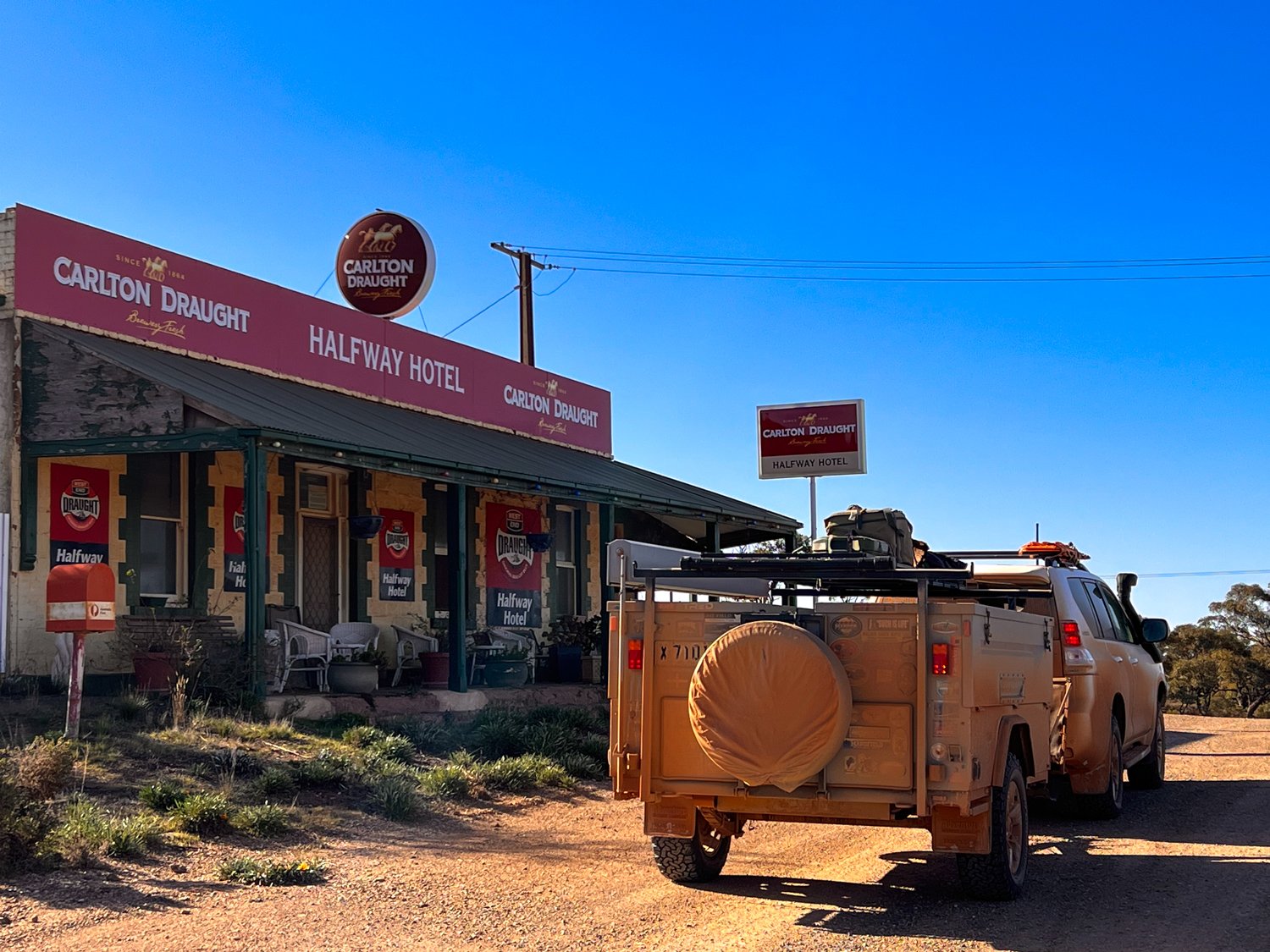
I won’t bore you with our last three days travelling home as it was largely white lines and tarmac for over 1,300 km. A quick stop over at Silverton, Broken Hill then a road side camp for the night just outside Broken Hill. From here, with my ‘Kimberley’ play list to keep me going we made our way to Dubbo and one last pub for the night before finally crossing the mountains and home.


Over the last 10 weeks (69 Days) we have travelled almost 17,000km from one side of Australia to the other and back. We spent $5,393.91 on fuel ($2.88/lt the most expensive at the Nullarbor Road House) with an average fuel consumption of 13.9lt per 100km.
We have experienced all kinds of roads from the longest straightest stretch in the country (146.6km); remote outback tracks such as the Tanami; far too many corrugations along the Gibb; the worst track out to Mirchell falls; followed explorers along the Eyre Highway; and gone down little unnamed tracks all over the place.
We drove through dust, sand, water crossings, very deep water crossings (killing 2 starter motors), white clay and enough red mud to cover the car with a permanent impenetrable layer that will stay with us forever. And we did not get bogged once!
We tested our vehicles and trailer to their maximum with loose nuts off bash plates, spot lights and other random parts of the car. Broken window struts, slide drawers, battery holders, Anderson plugs, petrol caps and other annoying small things kept the gaffa tape and cable ties busy. We played bush mechanic repairing one tyre, removing the sway bar and replacing wheel bearings on the side of the track. We ruined the starter motor in 2 vehicles, replaced a blocked fuel filter, broke the springs on the camper trailer and one person got towed the last 300km off the Gibb. And we loved every minute of it.
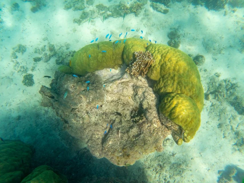
We saw amazing creatures including freshwater crocodiles, dolphins, Southern Right Whales, hump back Whales, dugongs, turtles, whale sharks, thousands of fish and coral, birds of all kind, an echidna, black backed wallabies, yellow footed wallabies, and 1 snake.
We swam in waterholes, at the base of waterfalls, in swimming pools, in the ocean and in turquoise blue bays. The water was everything from nice to cold to bloody freezing but we still did it.
We walked, hiked, climbed and boulder hopped gorges and mountains and strolled along long stretches of beaches.
We watched the moon rise and set, countless sunsets and the occasional sunrises, rainbows, storms, and experienced gale force winds strong enough to blow us to Antartica.
We ate in outback hotels, fancy hotels, around the fire and at restaurants. We drank far to many beers, cocktails, wine, bourbon, ginger beer and a mango beer.
We drove, flew, sailed and snorkelled underwater getting all kinds of views of this great country from above and below.
We did touristy things and many things that are not on any tourist brochure.
We laughed, cried, stressed, got exhausted, and exhilarated often all at the same time.
We are so fortunate to have been able to do all this, and to share our journey each day with you all.
So what’s our next trip………..?