This story was published in the July 2015 Issue of 4WD Touring Australia. This is the fifth part of a 3 month journey from Sydney to Darwin and back. To read a full account of the trip and view photos and videos go to To Darwin By Dirt.
The vast savannah stretched out ahead of us, more than 1.5 million square kilometres clinging to the top of Northern Australia. The mix of tussock grasses and eucalyptus woodland is the result of millenniums of seasonal rains, long dry seasons and regular fires. This landscape will be our shadow as we join the Roper Highway and make our way to Mt Isa, following the aptly named Savannah Way.
In most countries the term ‘highway’ evokes an image of 6 lanes of black tar where the speedometer can get in to triple digits. The Roper Highway however has a thin covering of asphalt little wider than the car. But eventually even the road considers this area too remote as the black top disappears leaving a corrugated dirt road carving through the Savannah.
The dry flat landscape has an intimate familiarity to local Indigenous people. However, to those of us that normally live in the south of the continent the repetitive grasses that pass by the window provides little stimulation to the eyes fixed on the long road ahead. With little for the mind to filter, apart from the muted green vegetation and rust red earth, the repetitiousness of the drive and the hum of the wheels produce a hypnotic slow motion journey.
Eventually this trance is broken as we reach Roper Bar to refuel. Roper Bar also feels as though time has left it behind. With little more than a building surrounded by a wire fence it provides a range of basic goods for locals and travellers alike and is the last spot to refuel before Borroloola, 400km away.
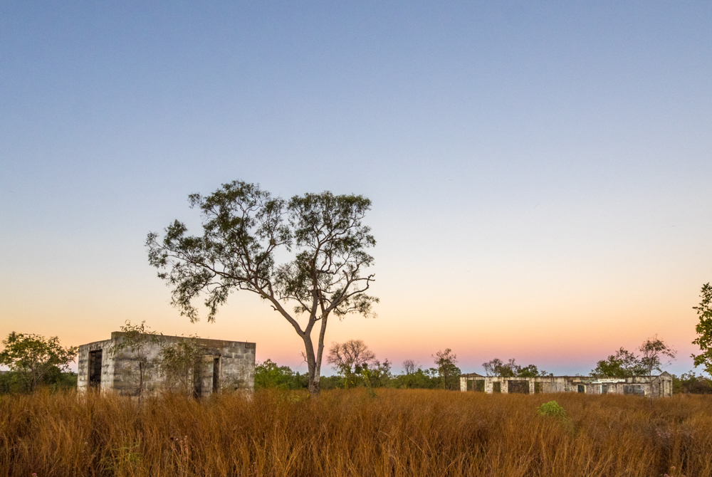
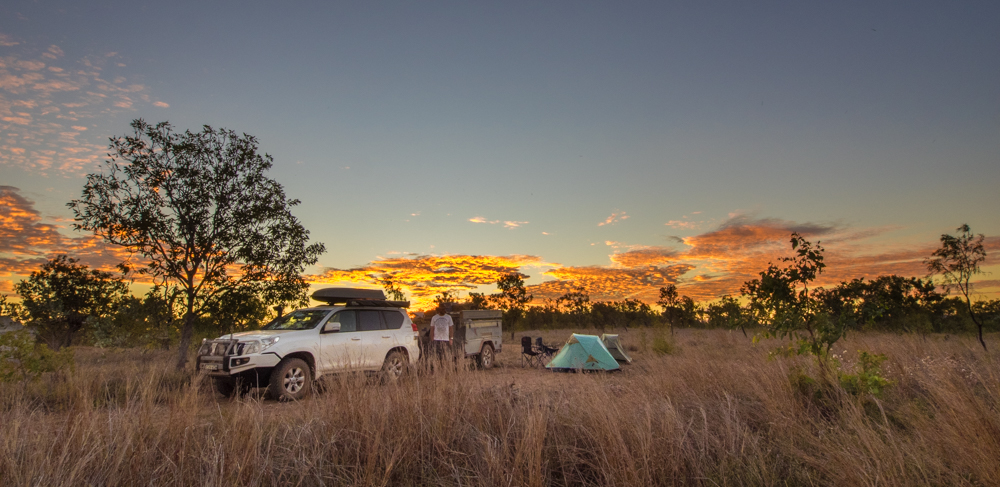
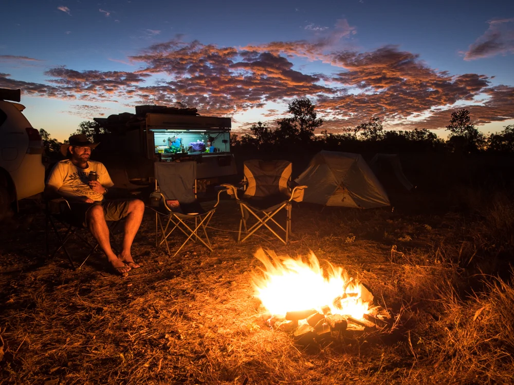
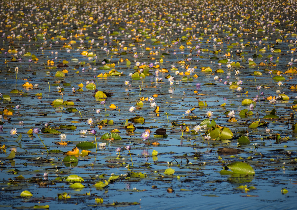
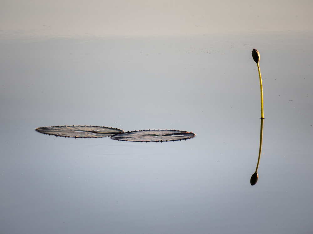
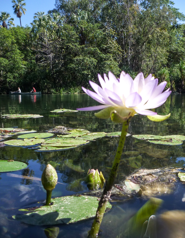
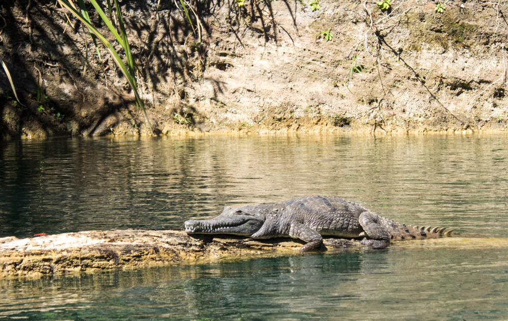
But the setting of the sun means that it is time to push on to Lamarieum Lagoon and our camp for the night. The Lagoon stretches to the horizon with a carpet of pink and mauve water lilies bringing Monet's painting to life. With the watchful eyes of crocodiles it is decided that a tent is not much protection between us and dinner, so we set up just out of jaws reach at the ruins of St Vidgeon Homestead. Sitting by the glow of a camp fire under the chandeliers of a thousand stars we pondered the unimaginable time it has taken for that pin drop of light to reach us. The next morning we wake to the warmth of the golden orb as it rises over the lagoon.
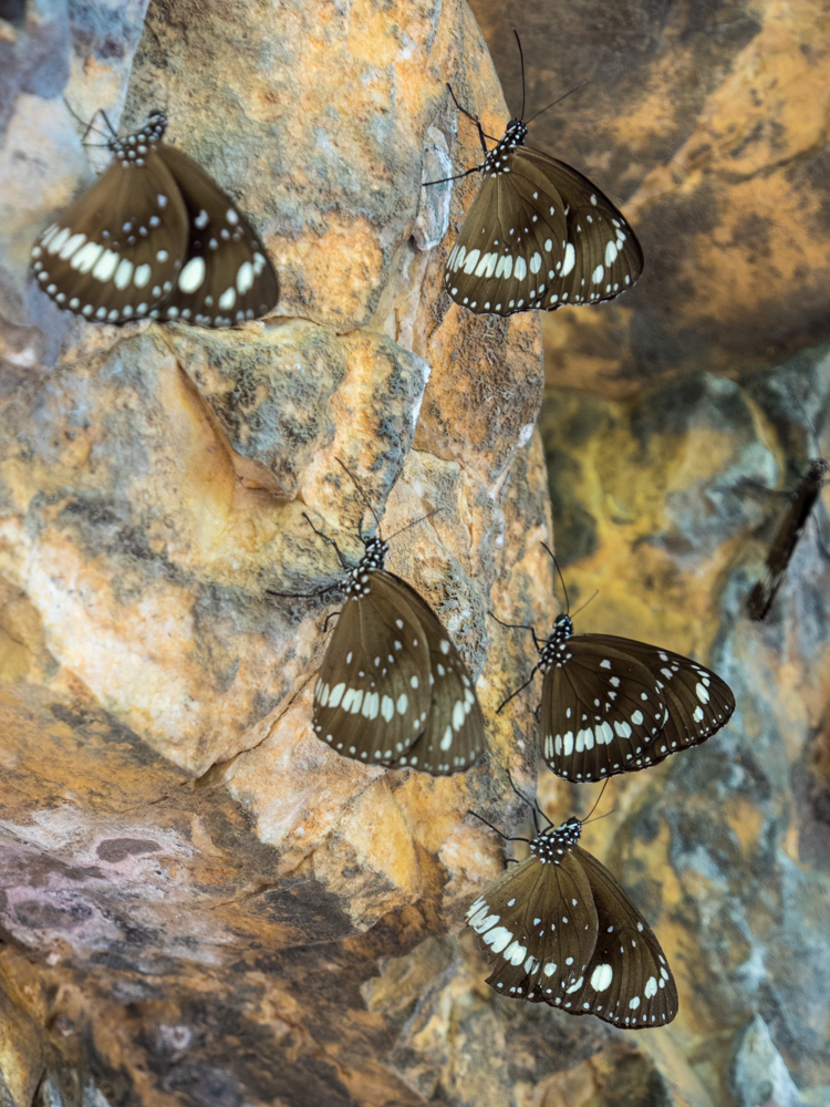
Back on the road Butterfly Springs is our next welcome stop. With a paperback lined billabong wedged between low cliffs, its name becomes obvious as clouds of fluttering delicate wings fill the air in the overhangs.
While many camp here, our campsite is the Southern Lost City further along the Savannah Way. The Lost City rises out of the flat grasslands, the 1500 million year old sandstone pillars the last remains of an ancient sea floor. Taking the 2.5-kilometre walk amongst the ancient columns, the time it has taken to erode these monoliths is difficult to comprehend.
Time has also forgotten to take hold of a privately owned wilderness property further along the ‘Way’. Lorella Springs, covering over 1 million acres, is a welcome place where eccentric travellers and itinerates set up camp.
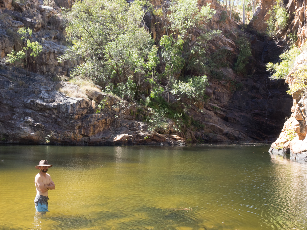
It is also a place to explore the hundreds of km of 4wd tracks that fan out across the property. One such track leads us to Nannys Retreat. Two wheel ruts wind their way for more than hour through the dry spinifex and across shallow creek crossings. Where the 4wd track finishes, a walking track begins. Eventually we arrive at a majestic boulder strewn range with a spring fed creek that flows into a crystal clear pool. Taking a plunge into one of the most remote waterholes leaves the mind numb.
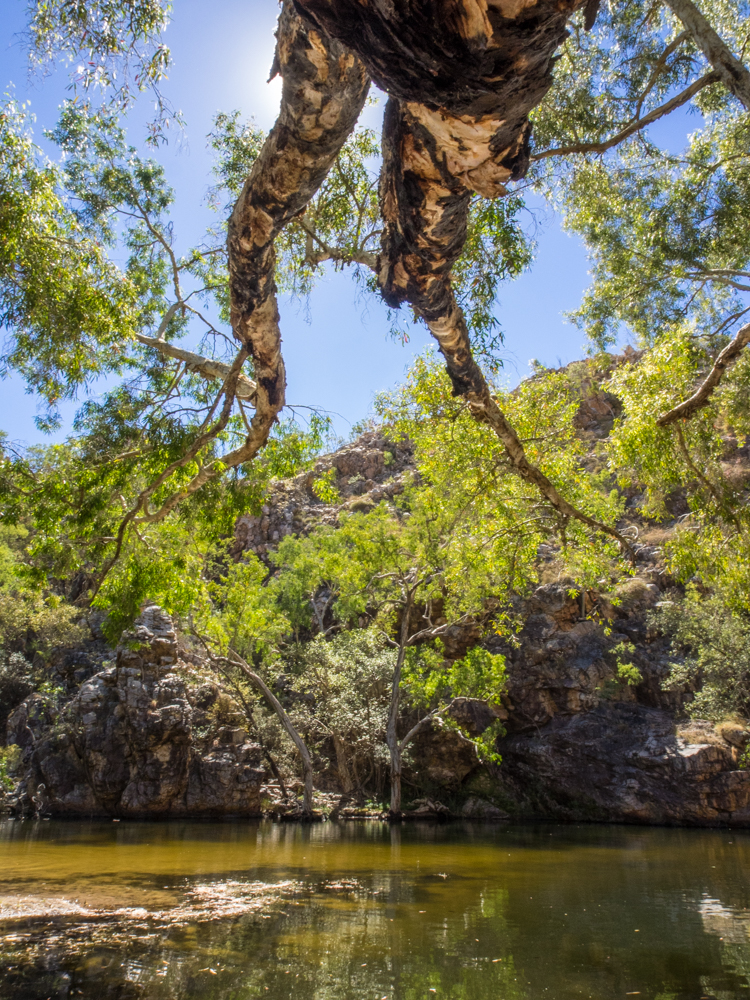
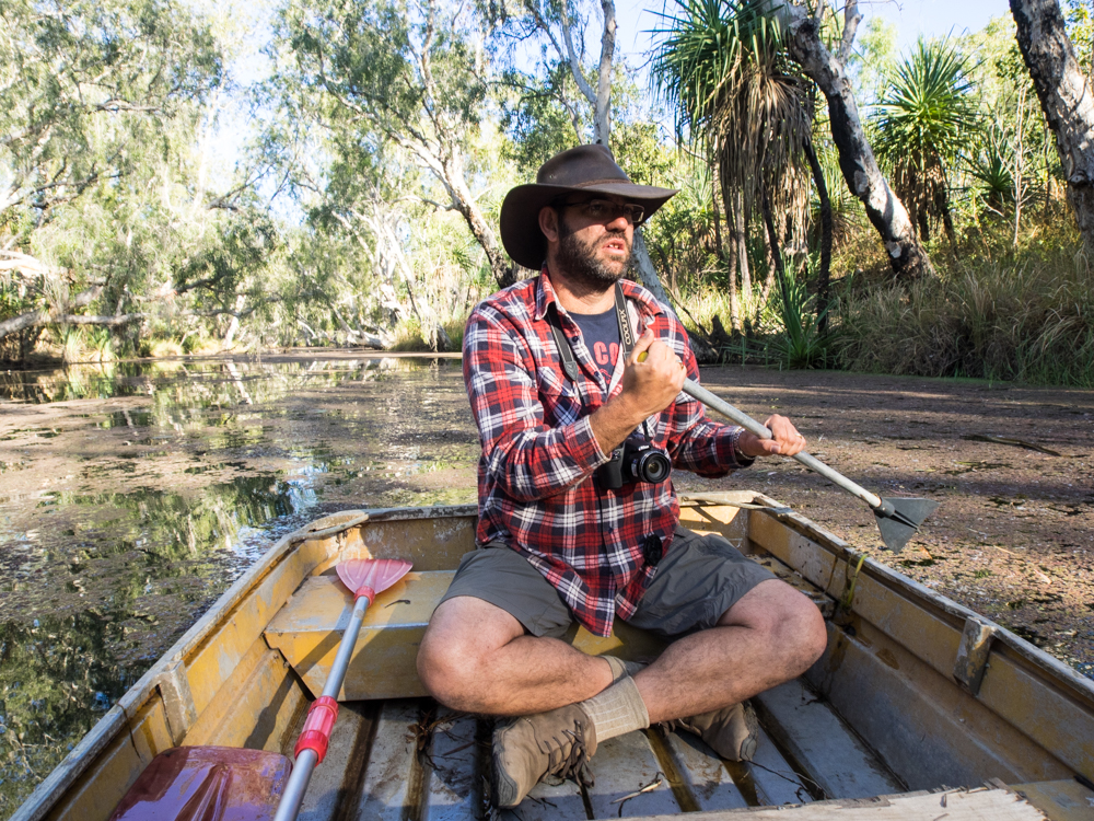
The next morning it is time to head back out again, this time exploring a small waterway called 'crocodile spring' where the owner leaves a small boat for people to use. Getting into the small tinnie, no bigger than a bath tub, the name ‘crocodile spring’ started to take on a more sinister meaning. But this is soon forgotten as we paddle through the motionless water lined with tall paperbarks, their branches reaching out to meet in the middle as though they are trying to hold hands.
Despite its isolation, Lorella Springs has some of the comforts that are often missed when travelling through these inaccessible parts. With hot water from the donkey cleansing the days dust, and a cold beer from the open-air bar cleansing the thirst, it is easy to forget how fortunate we are to experience this place. We spend the evening reflecting that it is days like today where time takes on a different meaning. It is not about rushing to the end or focusing on what you have to do tomorrow. It is about savouring the moment as it is.
Despite not wanting to leave, we continued our journey to another place where nomads and travellers set up camp for days, weeks or forever. After re-joining the Carpentaria Highway, the smell of the salt water leads us to the turn of to King Ash Bay. Perched on the edge of the McArthur River, it is a gathering point for many who have fish in their blood. With another outdoor bar and the promise of barramundi hiding in the river snags I can appreciate why this place is difficult to leave.
With no luck at fishing (I am not sure if the water was too cold or that the best spots were kept a secret), the idea of dipping the toes in the Gulf of Carpentaria was hard to resist. But such a feat turns out to be more difficult than first thought. Much of the coast is mining land including Port Bing Bong. Haulage road trains bring in iron ore where it is stockpiled forming man-made mountain ranges before being transferred into huge floating ships moored off the coast. Unfortunately the area is largely fenced with large signs warning of severe penalty for unauthorised access. It is such a shame that parts of this great country of ours are denied access by large private corporations.
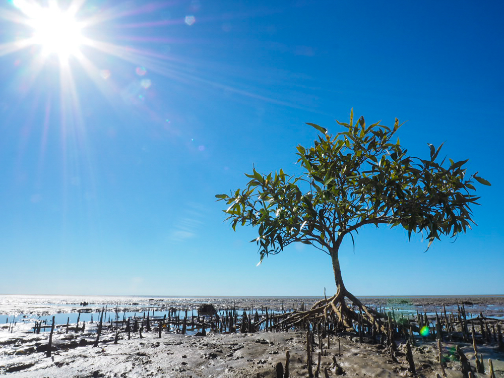
Despite this we find a small nondescript track leading off the road that weaves through the coastal mangrove and salt marsh. Following our nose, we knew that the gulf had to be close. Picking our way through the mud flats we reach the turquoise blue water with the Sir Edward Pellew Islands on the horizon. This is the last of the coast we will see until our return to Sydney.
Leaving King Ash time slowed again as the miles of corrugations took on their familiar rhythmic hum. Eventually we reach a large rocky outcrop, with boulders made from a whipped cream, rising from the plain. I am sure this area once hid the cattle thieves and traditional aborigines who stole from the early cattle drovers who moved herds from Queensland to the Northern Territory. It is for this reason Hells Gate got its unusual name as beyond this point the Queensland Police could not guarantee their safety. Today, it provides the opposite, an essential stop for fuel to the modern day drovers in their 4WD’s.
Not far from Hells Gate we turn off towards Lawn Hill National Park. The sameness of the last few days is replaced with a red snaking track that transitions into ruts full of bull dust. Passing a large billabong, we stop to watch 6 majestic Jabiru and a large number of pelicans before they take flight, climbing on the eddies until they are mere dots against the ocean blue sky.
Travelling through numerous paddocks the eyes of a hundred Brahmin cattle watch us through the low bushes. Cattle have been in the Gulf since the early 1800s. Over time these leases grew to the point that in 1976 Lawn Hill Station was 11,000 sq km, one of the largest in Queensland. At the time this was run by the 'cattle king' Sebastiao Maria, who arrived from Brazil in search of a new life. The good news was that Maria also surrendered part of the station for a National Park now called Boodjamulla (or Lawn Hill).
Time has worked its magic on the ancient rocks which have been gradually sculptured by prehistoric rains leaving behind rugged escarpments and gorges. While there is a well set up camp site at Adels Grove just outside the Park, it is worth booking early and getting one of the small number of sites in the Park to allow you to experience the sun rise over this hidden landscape.
Paddling through the jade green water flanked by tall palms, the suns first glow lights up the sheer red sandstone walls either side of the gorge. The only sound is that of the morning call of the birds and the lapping of water against the canoe. Making our way the 4km up stream we reach Indari Falls created by Boodjamulla, the rainbow serpent.
As time sees the sun begin to set, the afternoon is left to take the steep climb to the Island Stack Walk. The walk meanders through the dark red rocks, lime green spinifex and olive sticky hop bush, all three forming a tapestry of colour.
Reluctantly leaving Lawn Hill, a stop at Riversleigh World Heritage Site is a reminder of our infinitesimal time on this planet. Walking past the pale hard limestone rocks with 15 million year old fossils of giant wombat like marsupials with stabbing teeth and the 5 metre Baru crocodile, it is amazing to think that this arid place was once a rainforest.
After more rhythmic corrugations, eventually they come to an end as we join the Barkly Highway. Time begins to quicken as we merge with the line of mining 4WDs heading to Mt Isa, their bright yellow reflective stripes and tall flag protruding from the bulbar visually overloading the senses. With the large smokestack appearing on the horizon, its tip smouldering like a cigarette, we knew this part of the journey was soon over.
Time in seconds and minutes only exists because we have created it. It is a factor of technology not nature. Time simply measures change and beyond that, it is non-existent. Travelling the Savannah Way we are reminded that time is dictated by the rise and setting of the brightest star rather than the watch on your wrist. As time slows you begin to notice the colours of the land. Like a Buddhist meditating, you become more aware of the spirit of the place. And in these moments of clarity you begin to see this landscape as local Indigenous people do - with more intimate familiarity – and only then do you finally understand the magic of the Savannah Way.


