September 2020: Brackens Hut, Coolah Tops, NSW

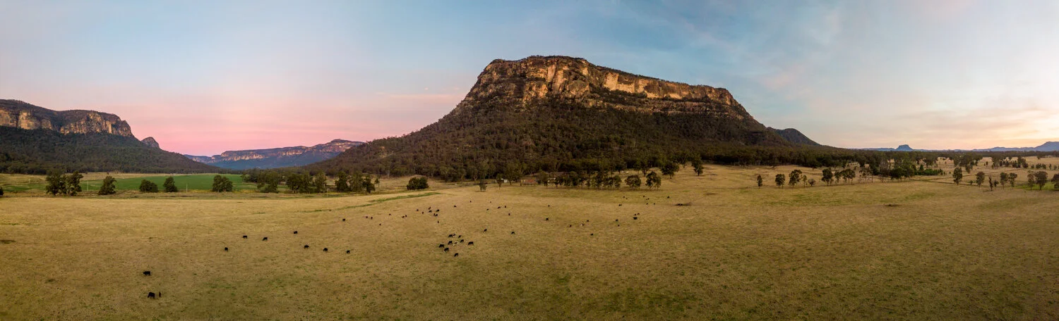
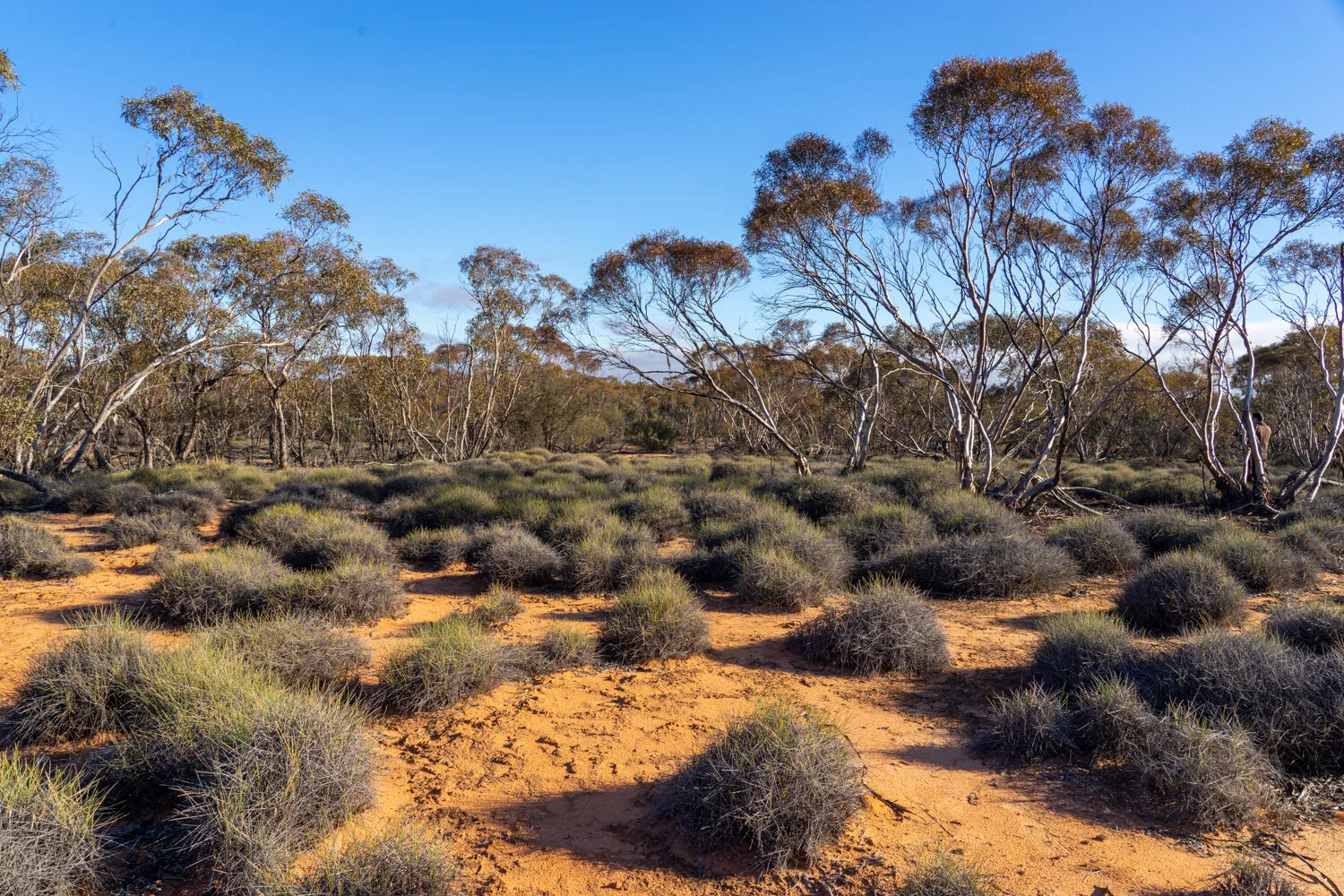
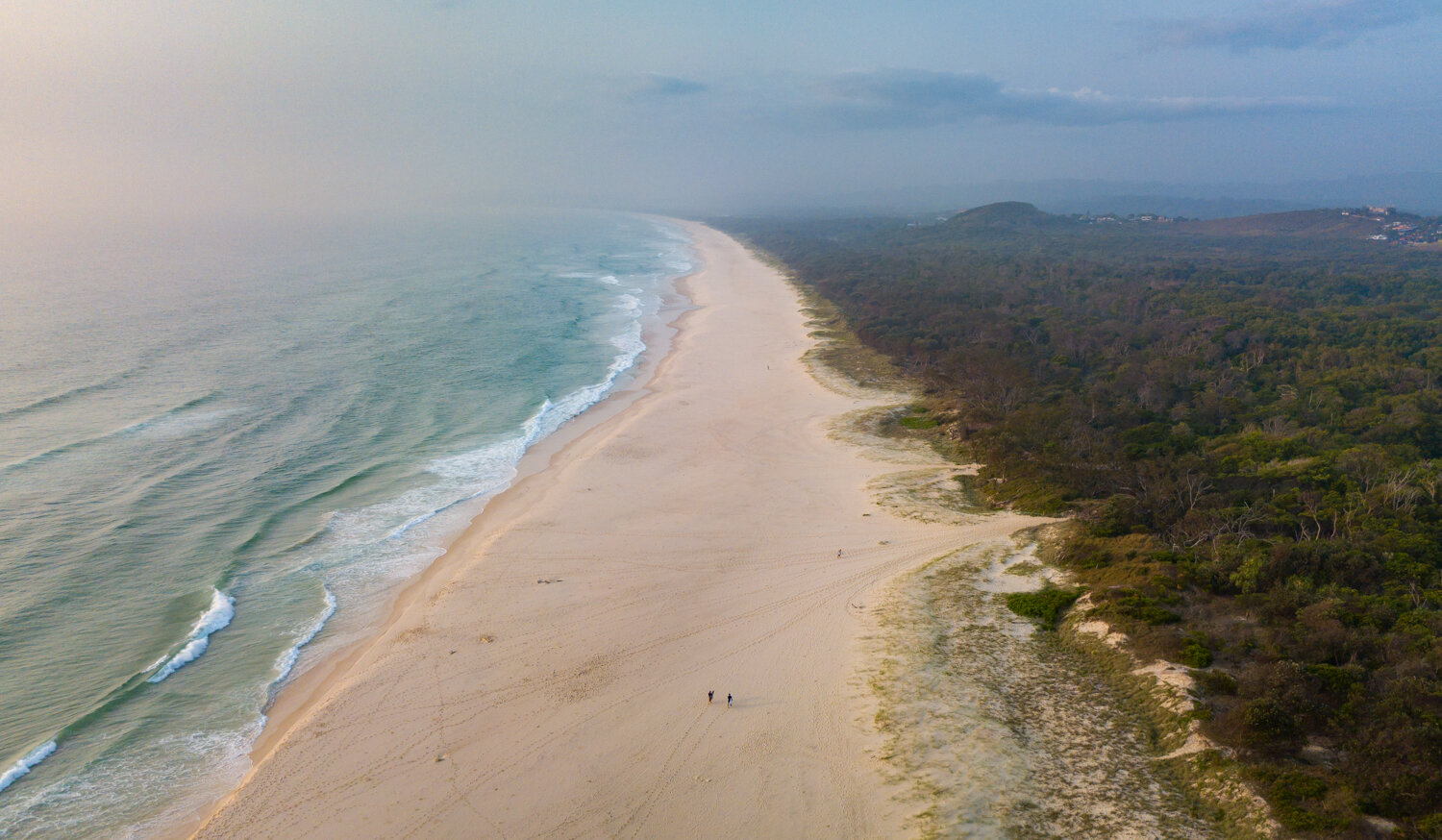
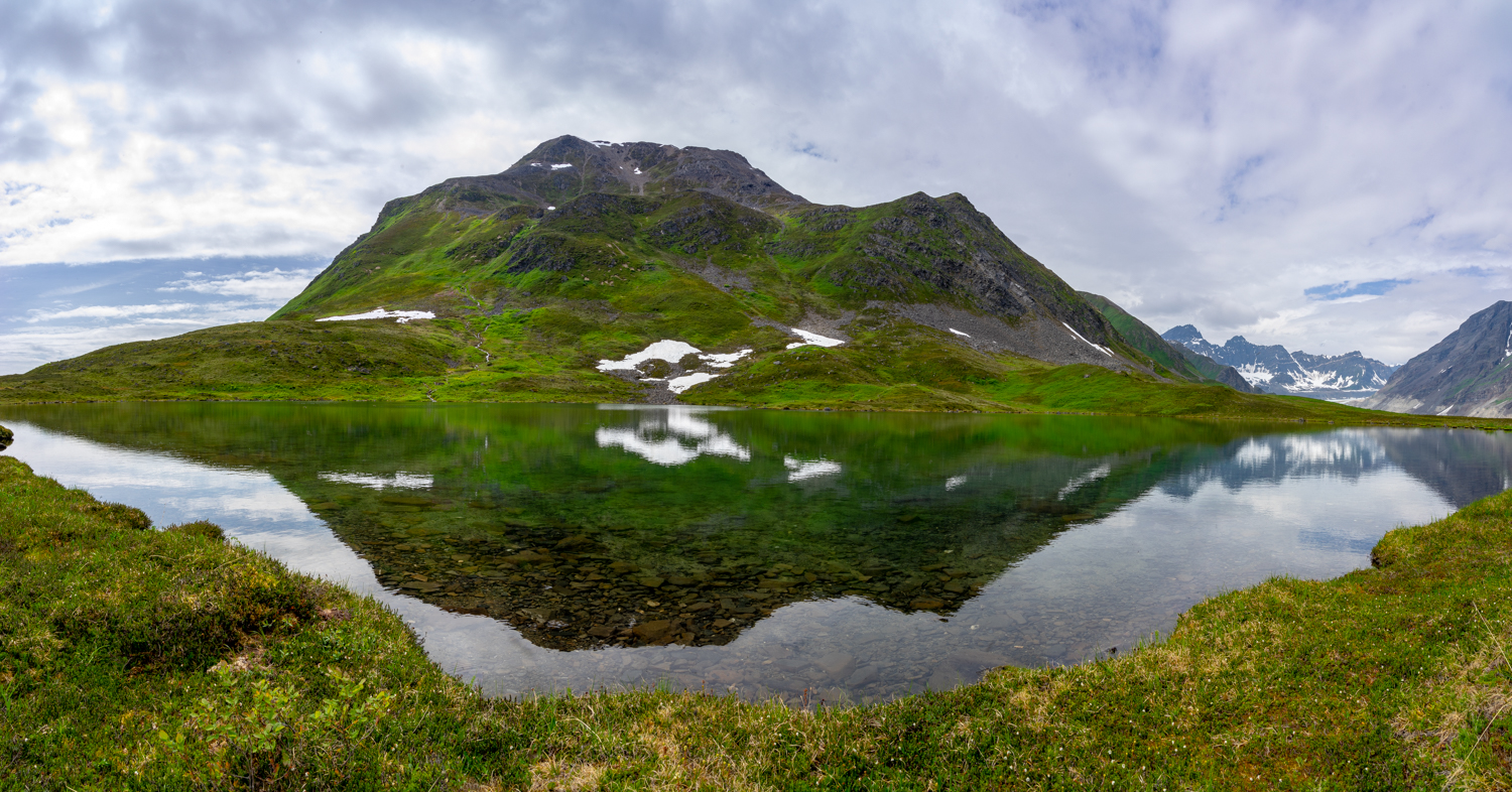
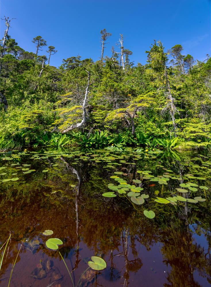
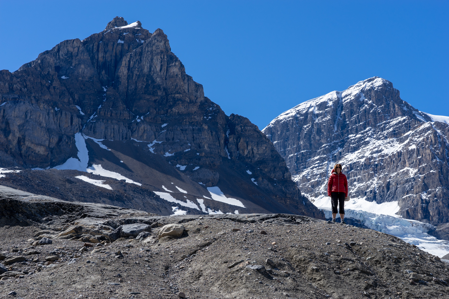
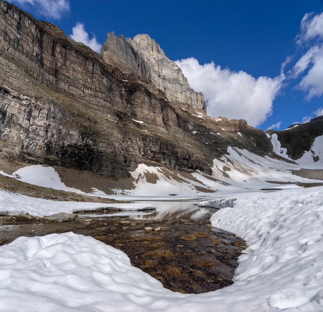
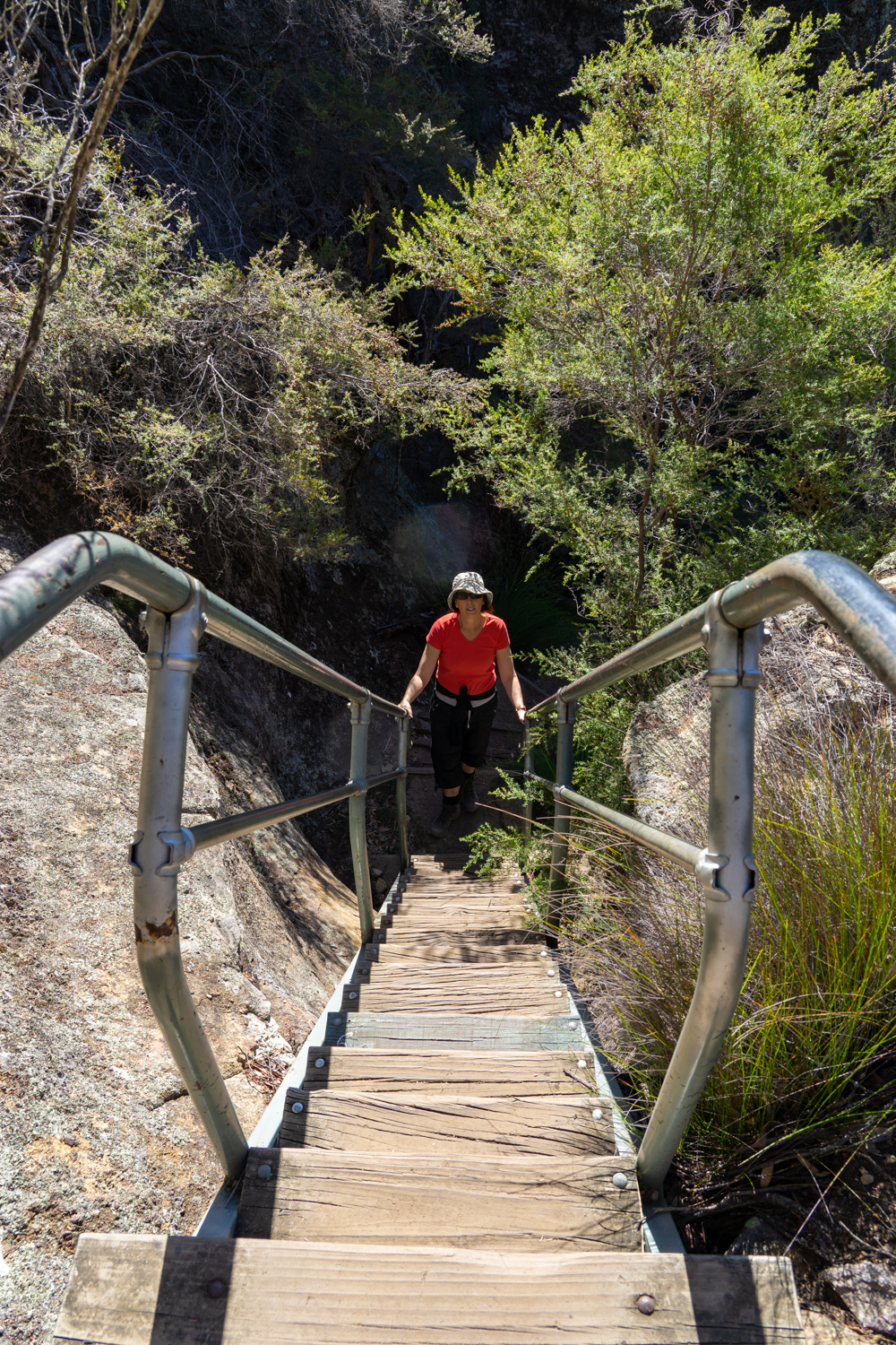
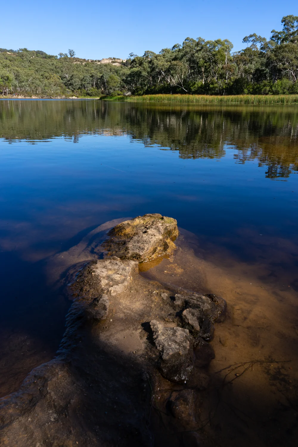
Where the Warrumbungle and Liverpool Ranges meet, Coolah Tops National Park rises out of the surrounding farmland like an island volcano out of the ocean. I wont go into any details on the Park - if you want to read more about Coolah Tops have a look at this story from last time we visited: Coolah Tops 2015.

This trip was the first night on our search for old abandoned buildings through out the Warrumbungle and Gilgandra Shire (click here for what we found). However we thought, what better place to begin this journey of old buildings than spending a night at Brackens Hut, located in the park.

LONR - abandoned-202.jpg

But the story does not commence in the National Park. Rather it starts with our road trip to get there.

One thing I always tell my self is not to rely on Google Maps to navigate my way. Normally I would pull out my ‘old school’ hard copy maps and plot our journey. But having visited Coolah before I figured I knew the area well enough to plug in the destination and hit the road.

Looking at Google Maps (Map 1) it decided the most sensible thing was to take the shortest route turning right off Vinegaroy Road to eventually join on to a fire trail in the Park. Sounds simple. By this description, I am sure you have already realised this was not the most sensible plan.

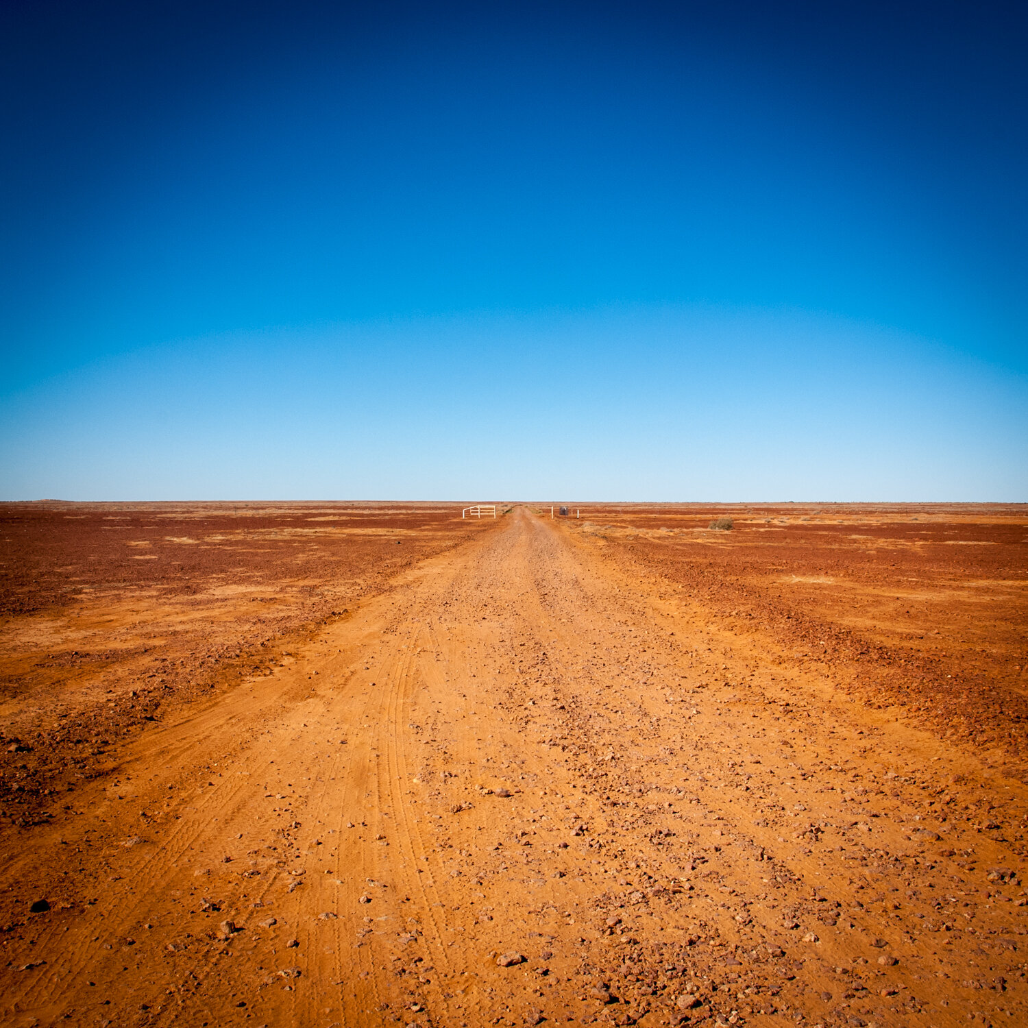
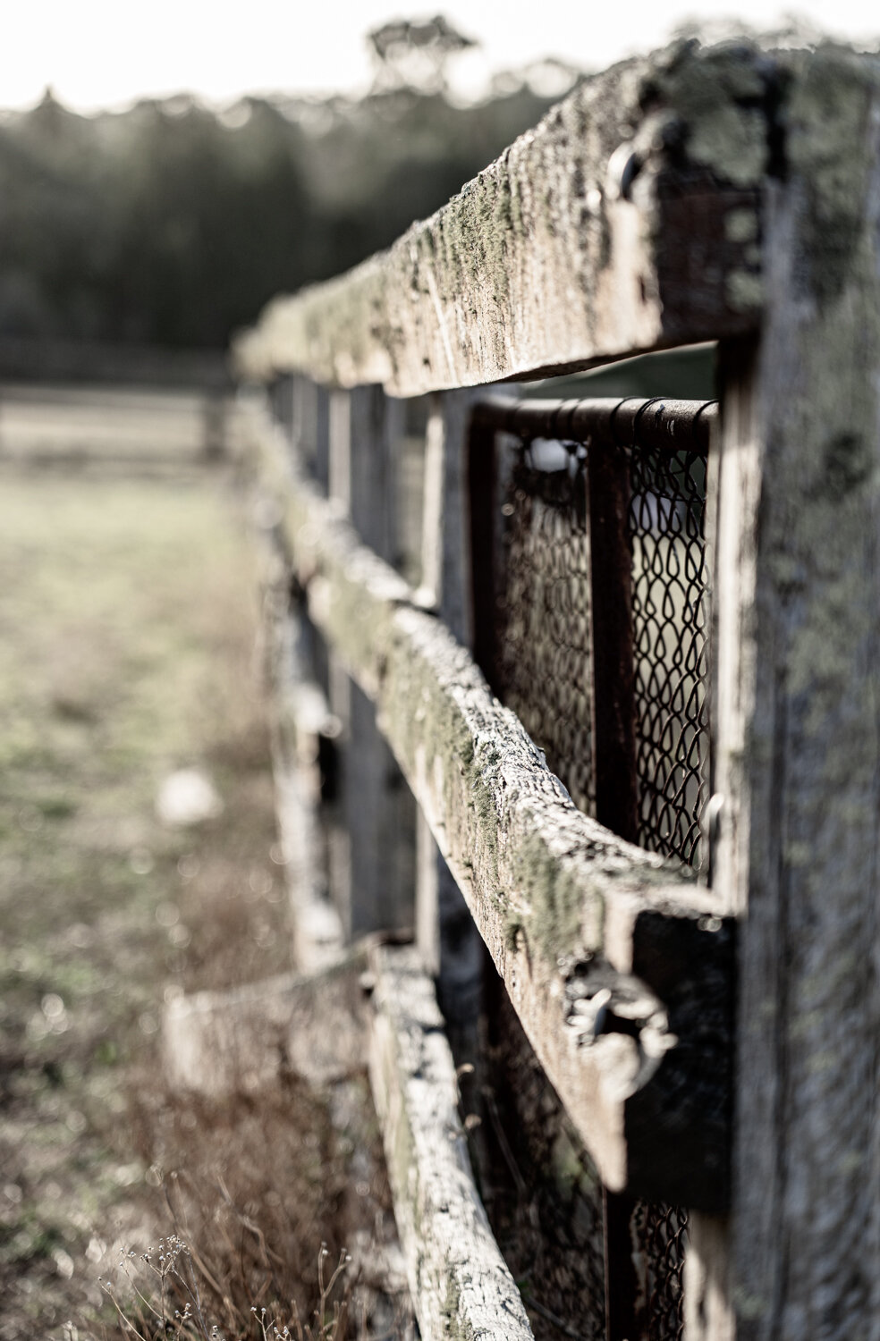
The road meandered along, through green rolling hills lush from the recent rains. As each kilometre past the tar road turned into a dirt road which then turned in to a dirt track. Eventually reaching a few farm houses I was beginning to question ever listening to Google. Rounding the next bend we reached the first closed gate. What to do? Do we turn around? Or do we trust some U.S. controlled technology telling us to go straight ahead? Having traveled on may public roads that travel through farms we pushed on ensuring we left the gate as we left them. Soon one gate turned into two, turned into 5, then 6. I am not sure who was getting more confused. The three of us, or the onlooking cows.

LONR - abandoned-302.jpg

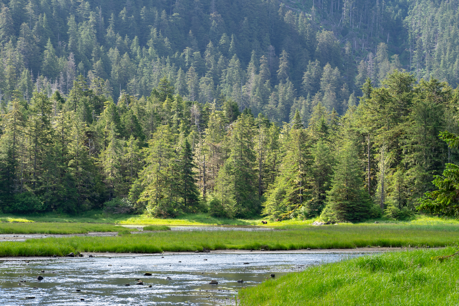
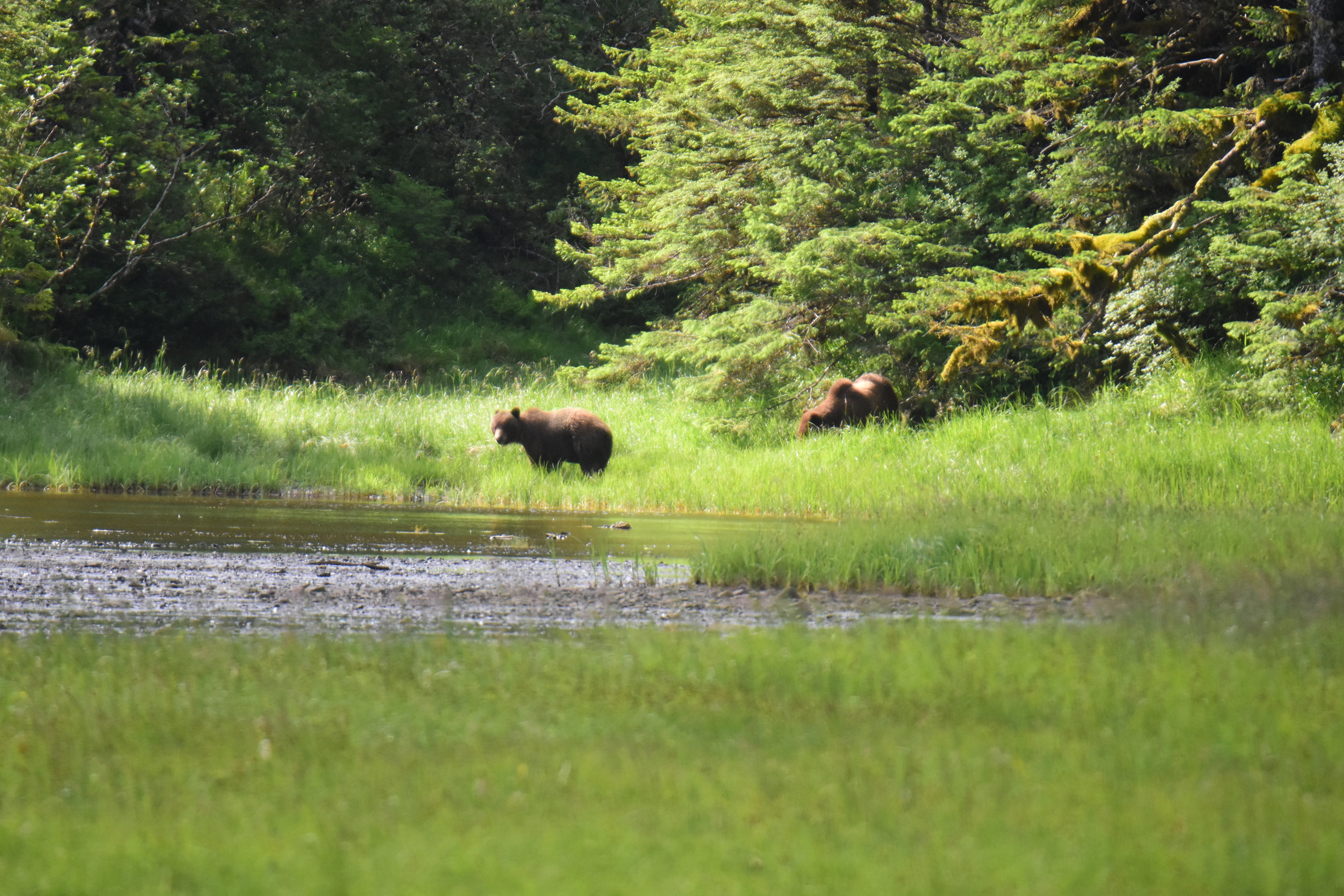
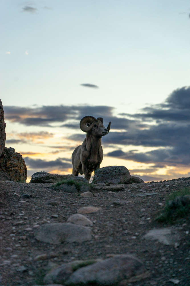
With each gate, not only were we entering deeper into the farm, the track was progressively getting narrower eventually turning into a faint two wheel track. By this stage the sun was beginning to slide towards the horizon. With the fading light, the paddocks all of a sudden became alive with large moving boulders. 20 or 30 brown mounds the size of a microwave started to roll then run from the car as we approached. It turns out the rains have provided a bounty of fresh grass for the wombats that obviously make this home. Having damaged my car in a previous encounter with a wombat, the thought of colliding with another boulder, or even worse dropping a wheel into a cavernous wombat hole was becoming more of a worry.

Luckily Google was saying we were only 2 kilometres from the Hut and we just needed to pass through one more gate. Or so Goggle said! Reaching the tree line of the Park (map 2) we scan the fence line looking for any resemblance of a gate or access. …..Nothing.

The idea of driving straight over the fence was not going to happen so there was no other choice but to make our long way back to follow the ‘proper’ route. Retracing our steps we finally get to the farm house and a tall slouching figure against a ute, half lit cigarette out of his mouth glowing in the fading light, watches us approach. Slowing to a stop we wind down our window.

“You lookin for Brackens Hut? “ the farmer drawls, with what appears to be a slight grin from his weathered face. Without even waiting for an answer (because he likely knows it) he goes on…. “Naa…. you can’t get through this way. Gota go back to Coolah”.

Apart from the obvious statement under my breath, we politely thanked him and head into the darkness. There is no doubt we were his nights entertainment and not the first to trust stupid Google! It was a fun, if not long 90km diversion - You have been warned!

LONR - abandoned-306.jpg

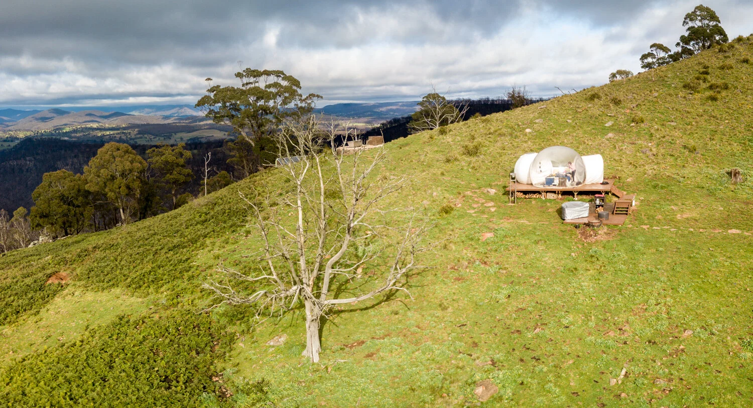
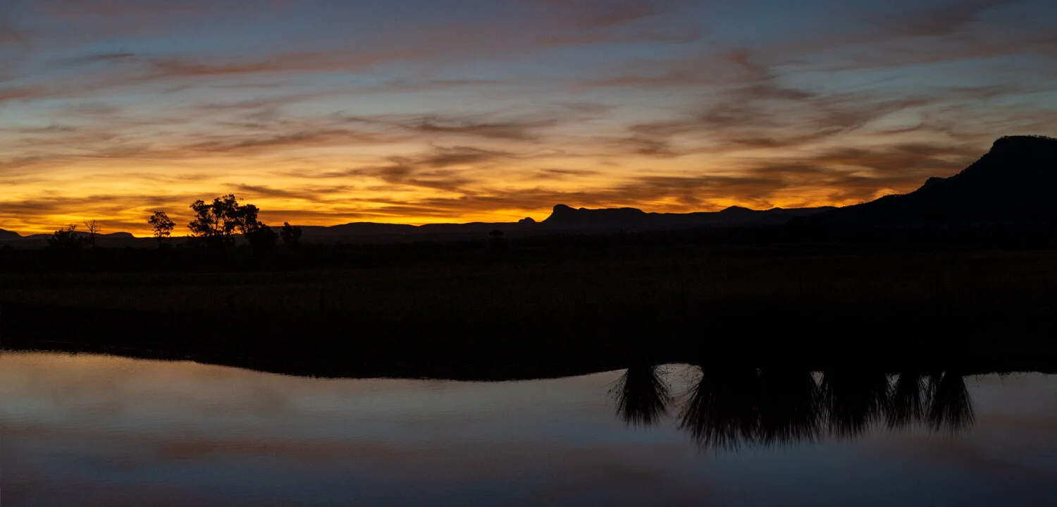
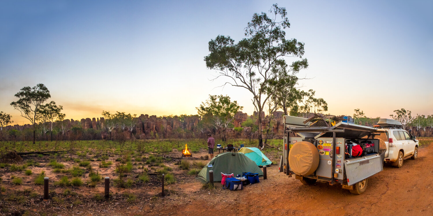
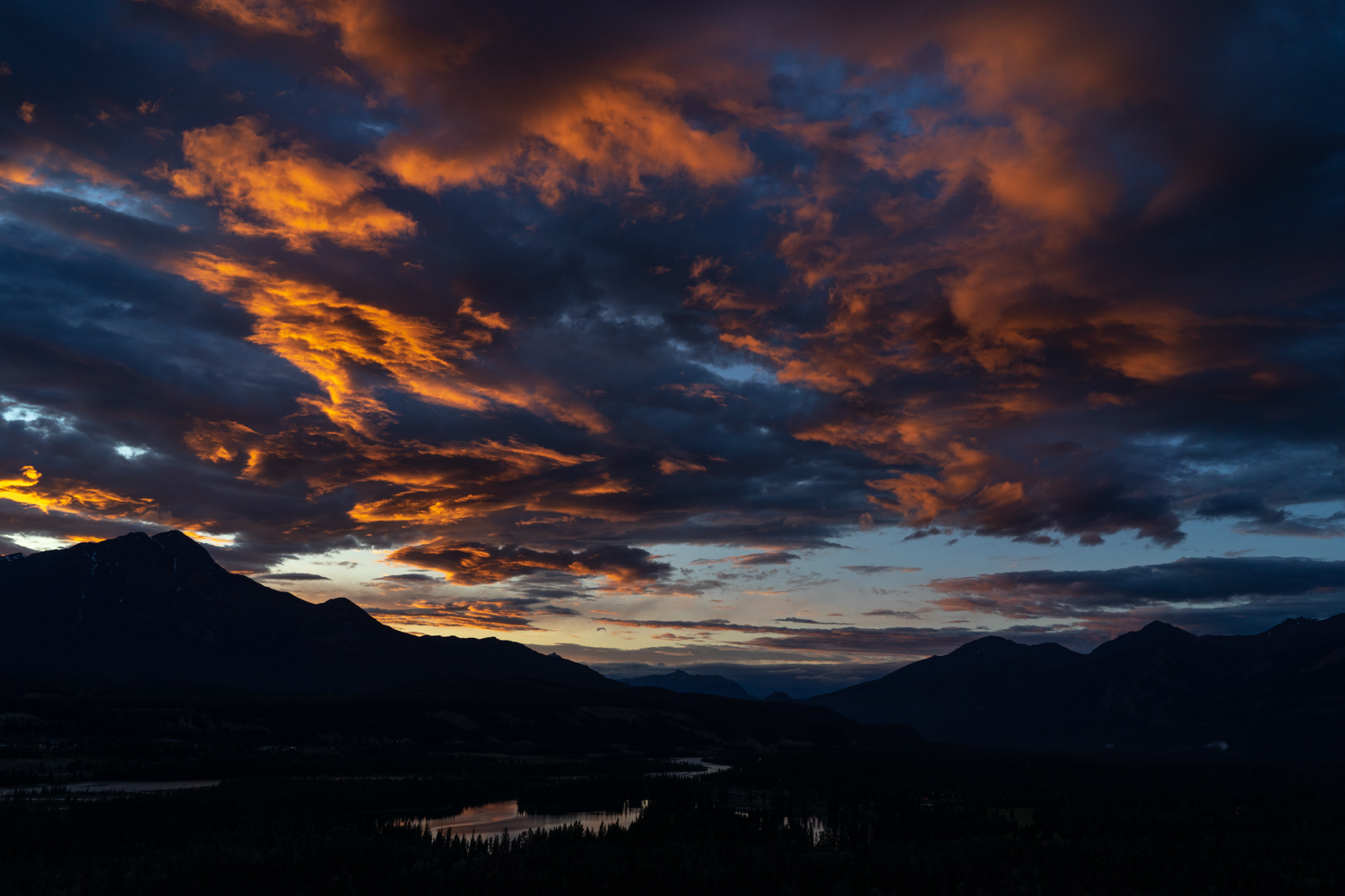
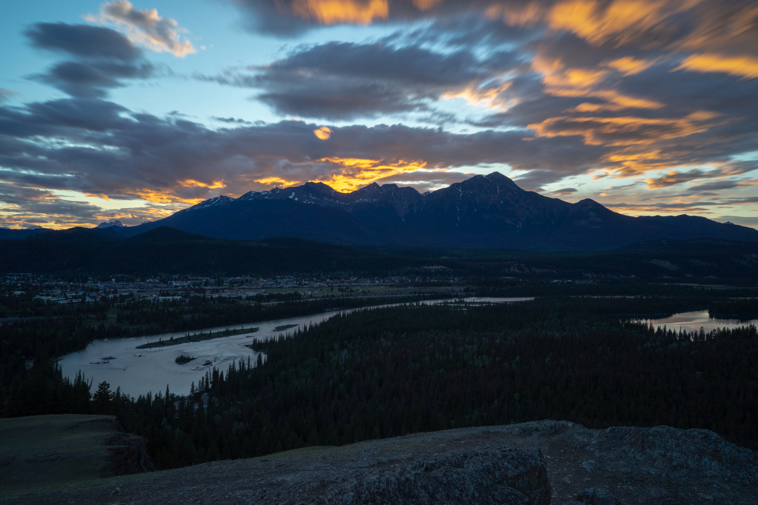
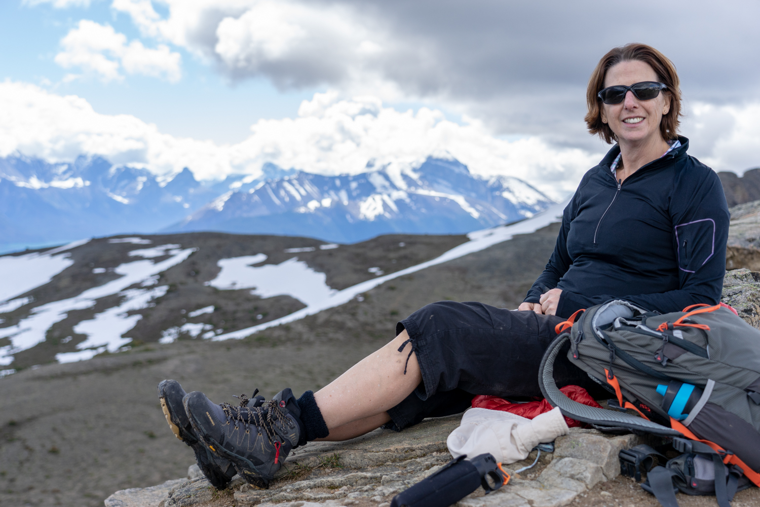
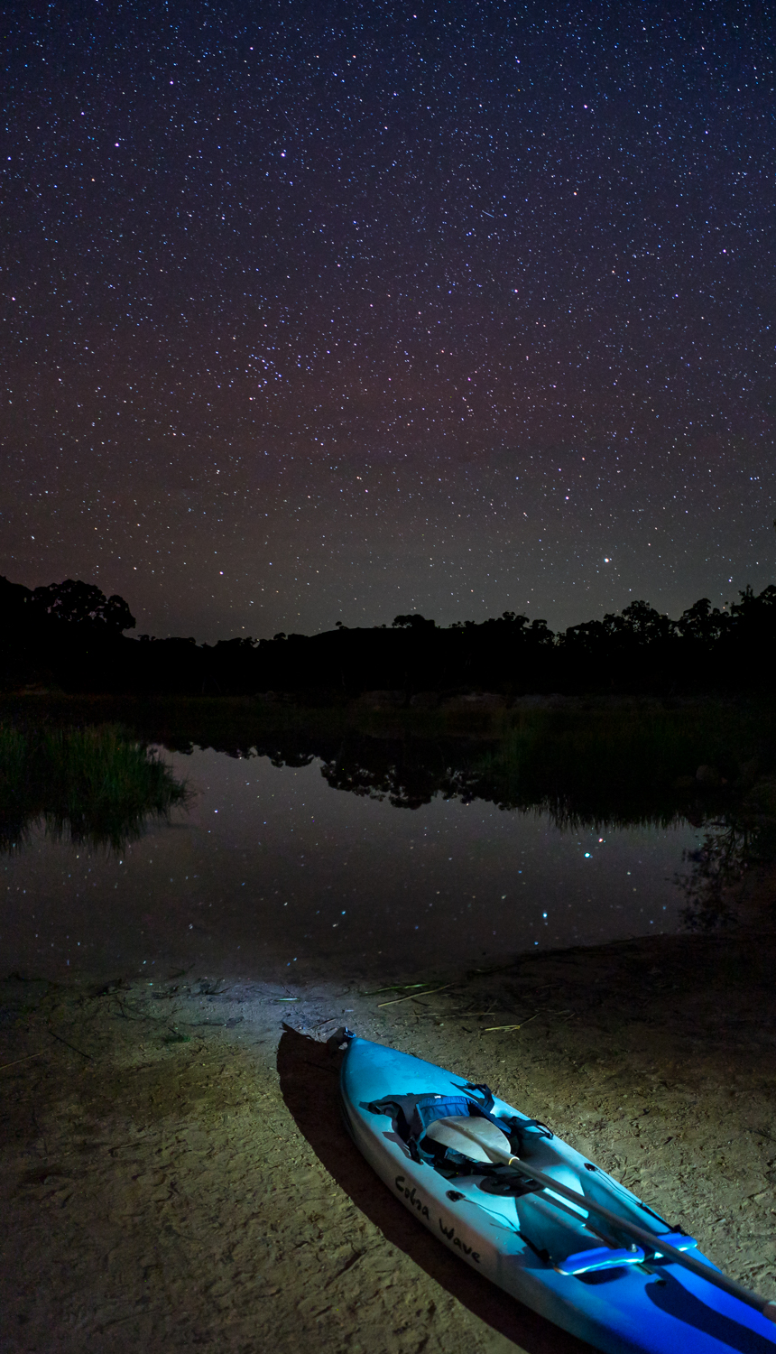
While we did not manage to get there for sunset, we finally made it to Brackens Hut as a thousand stars lit up the night making it perfect for a bit of astro photography.

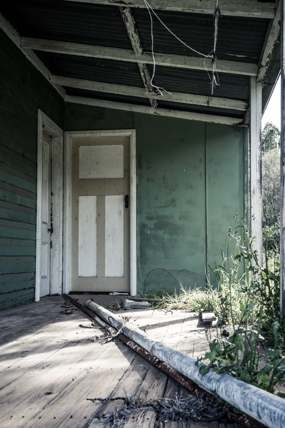
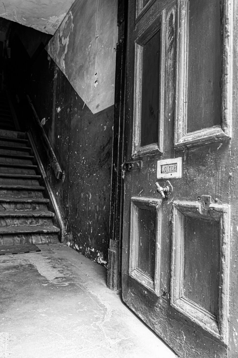
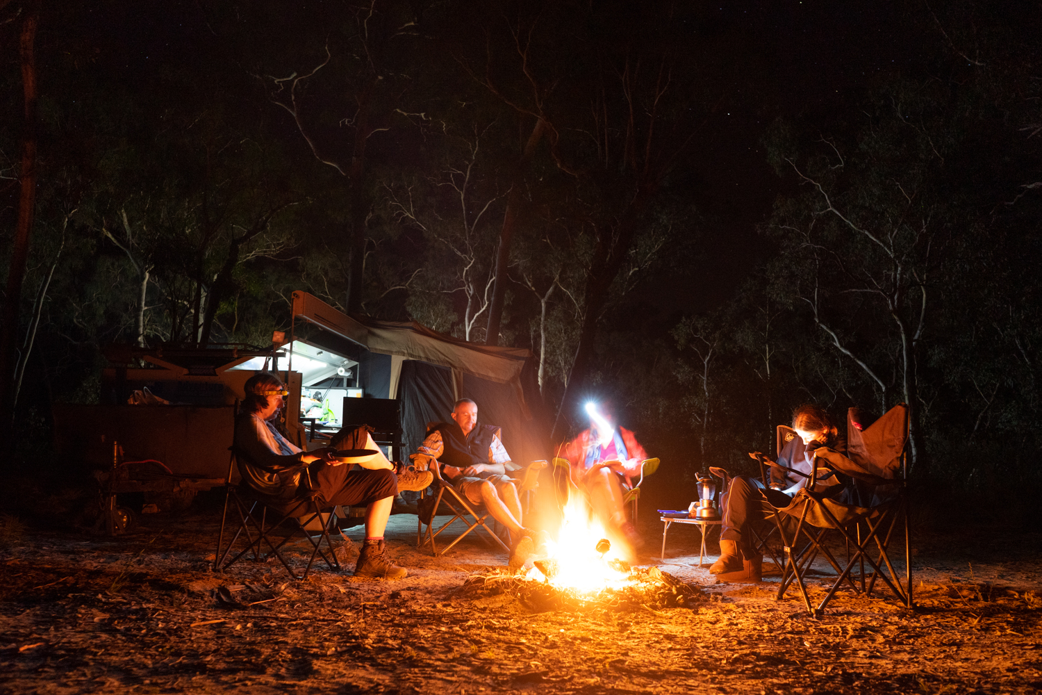
The Hut itself is available to stay via the NPWS office. Now don’t expect facilities you would get in a 3 star hotel. Probably a tent would have more amenities. It does however, give you the chance to experience what it was really like in the 1900’s without any of the luxuries of things such as electricity, running water or a flushing toilet. With only the inside fire to keep you warm, cook and light the room it makes for a fun experience. What it lacks in services, it makes up for in its amazing location and rustic charm.

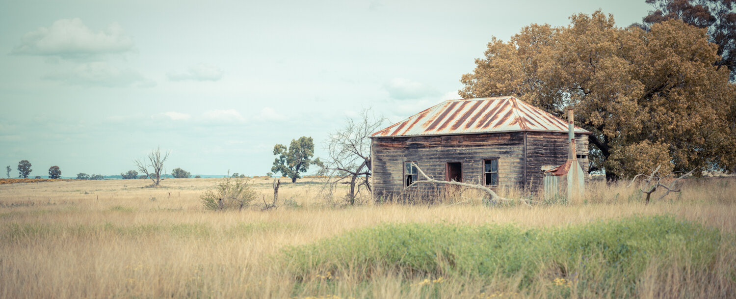
Nailed to the inside wall is a typed report written by Roy Cameron which tells an interesting story of this charming tin shed. The original Hut was built in 1937 for James Hamilton Traill who owned the nearby Tuwinga Station. The area was leased from the Lands Department as an improvement lease for his sheep. Iron sheets were packed on to horses along with all of the other building supplies to create a shelter for the herdsman to escape the occasional snow that would blanket the range. These hardy mountain men would bring up to 3000 head of sheep from the lower Cox Creek Valley to Coolah Tops to spend the summer months grazing before returning them in March to be shorn.

LONR - abandoned-227.jpg

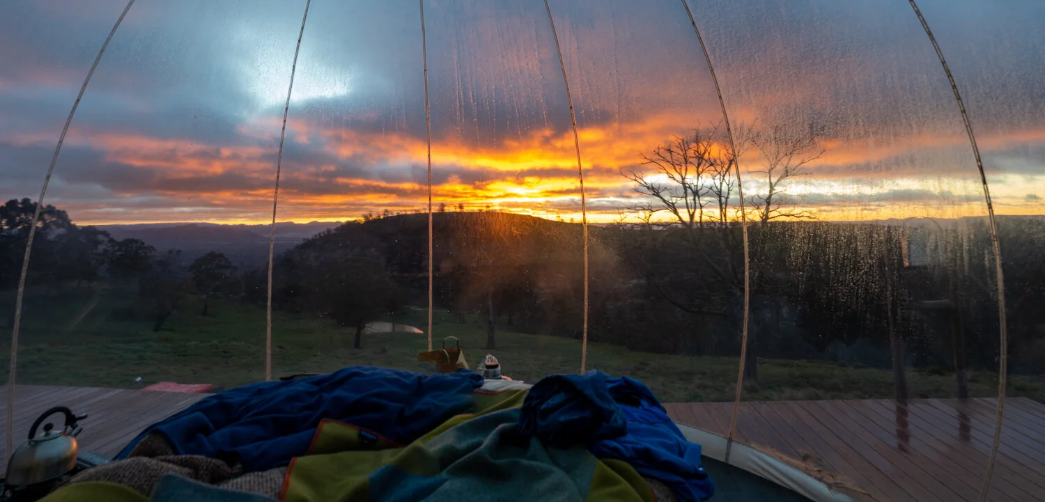
As the morning mist rolled in over the Hut we sat and pondered what life would have been like for one herdsman, William Bracken (who obviously the hut has been named after) and his wife and three children who spent 11 years living in the three room Hut into the late 1940’s.

LONR - abandoned-222.jpg
LONR - abandoned-225.jpg

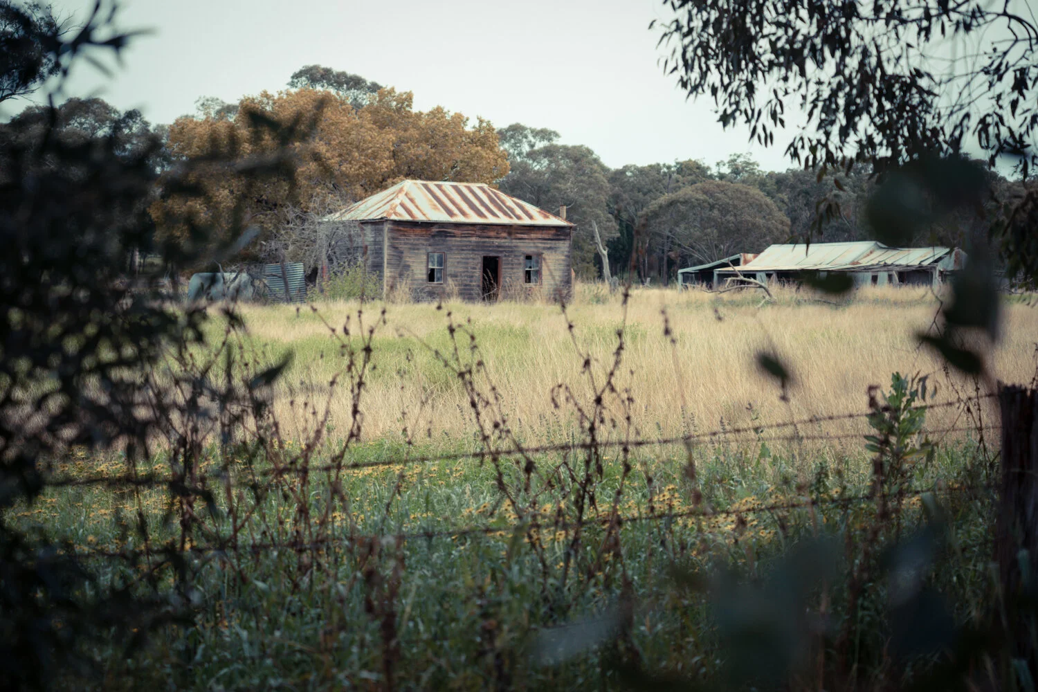
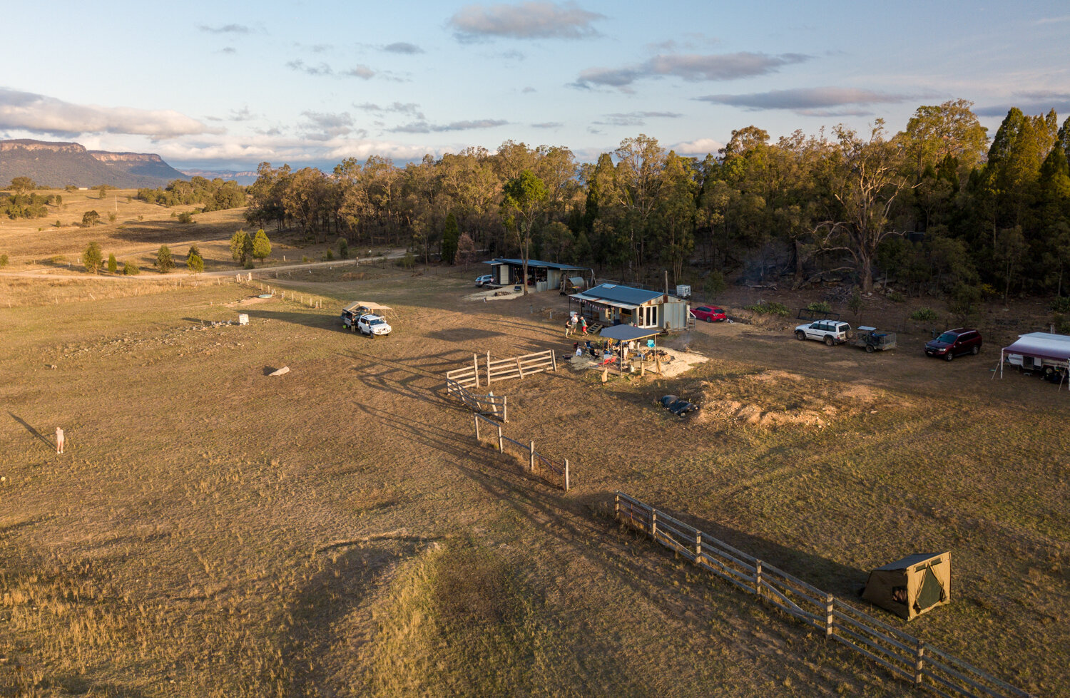
From above you can also see the orchard which would provide the occasional fruit supplementing what would otherwise have been a sparse diet. You can almost hear the chickens and jersey cows in the distance that kept the family alive with the basics. You can see the shadows of Bill Bracken sitting on the verandah playing his fiddle, the music echoing out over the surrounding forrest. Thinking of the large rambling house we live in now with a room for everything, it’s humbling to think a family of five lived in these three small rooms.

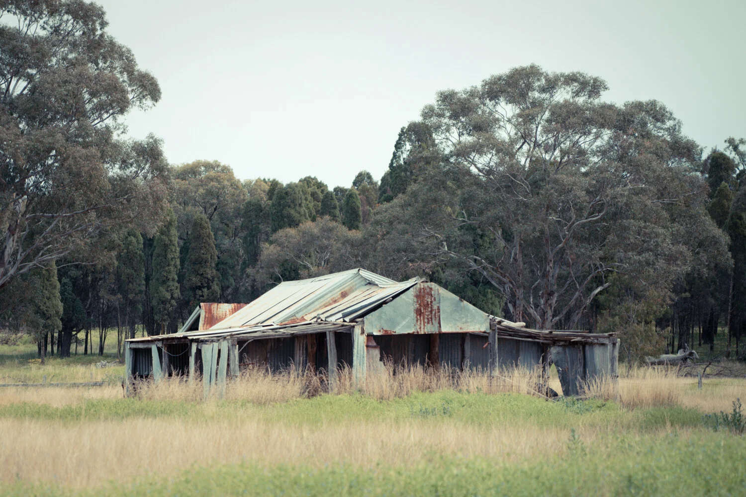
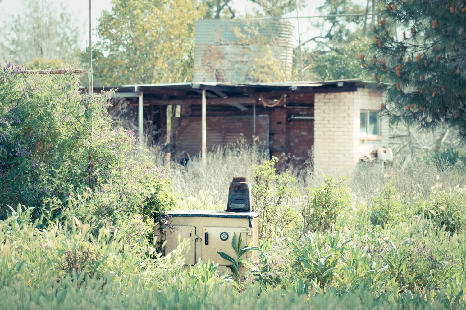
A short walk over the old paddock you come to another similar hut, this one made from huge split logs. Unfortunately there is little information on this hut, but looking at the size of the internal fireplace you can imaging the snow falling outside and a group of weary herdsman huddled around the roaring fire adding to the copious rum keeping them warm.

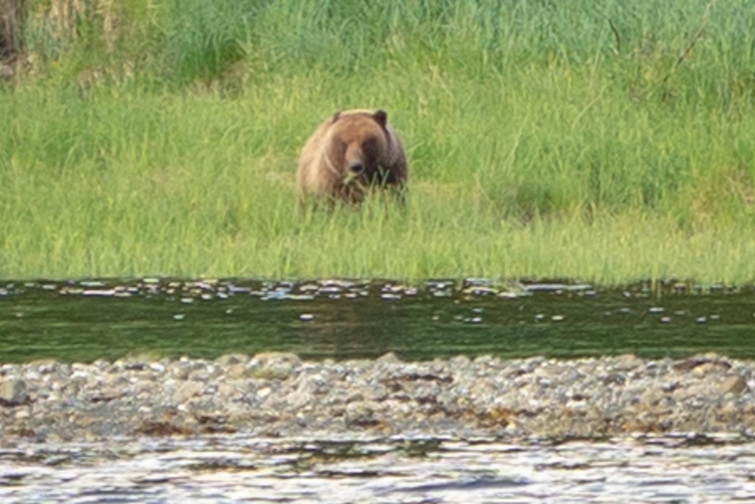
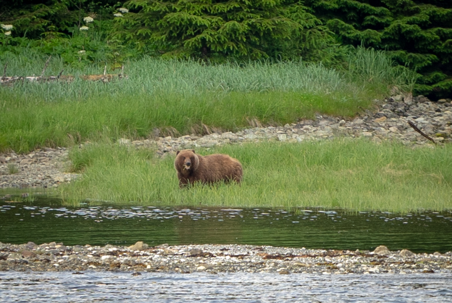
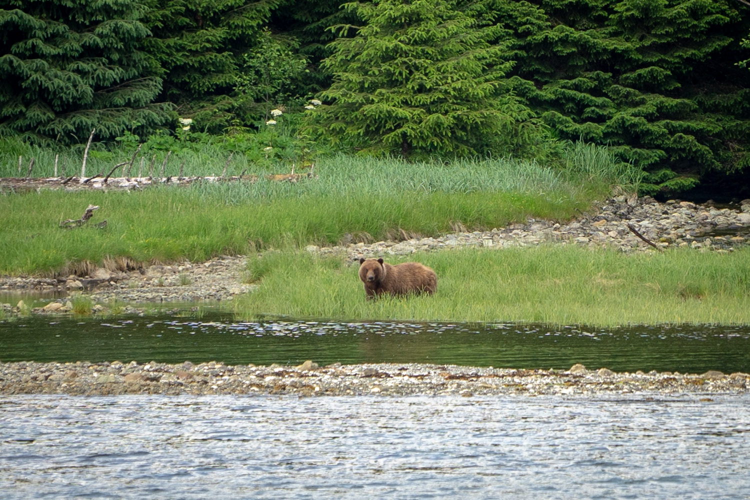
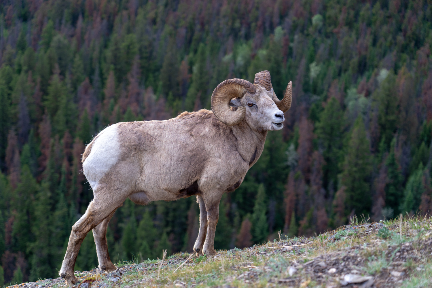
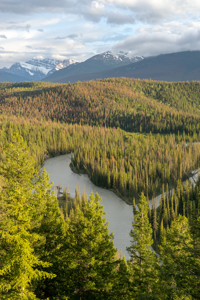
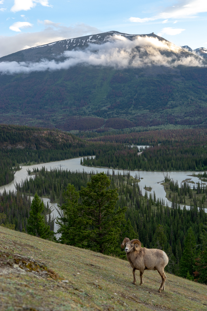
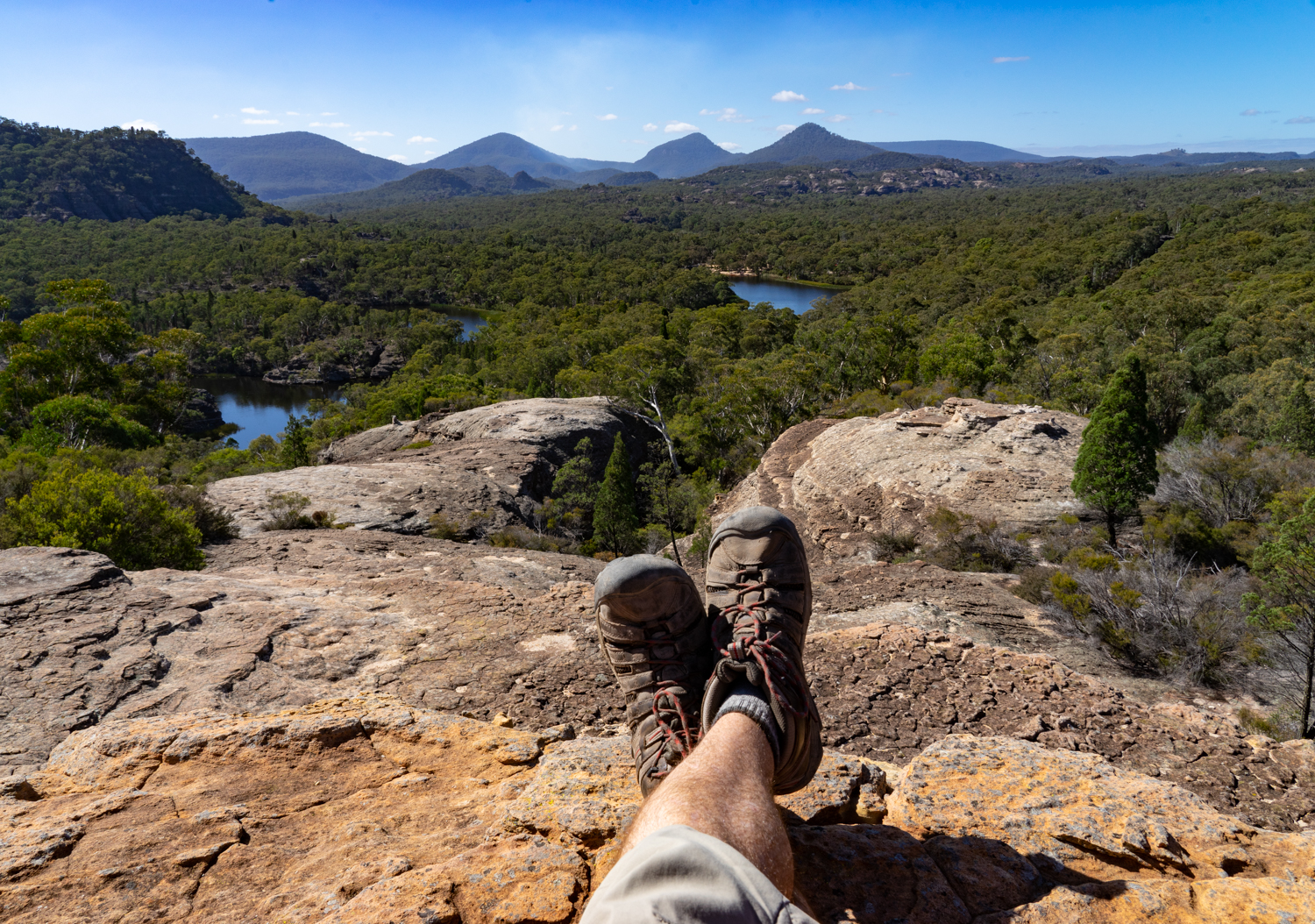
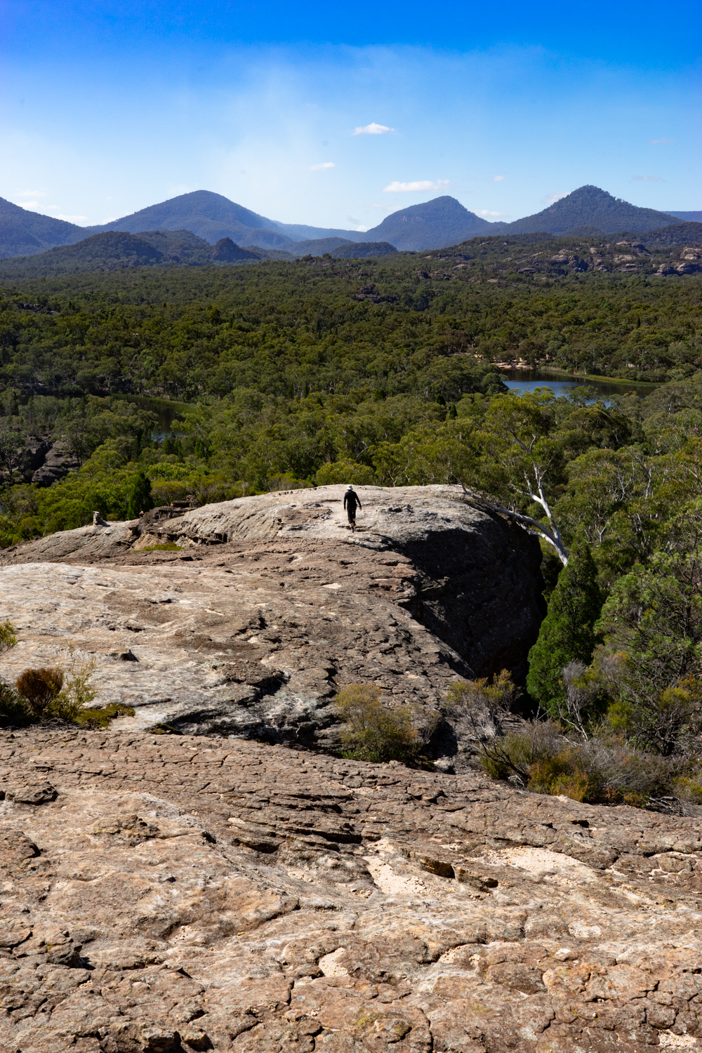
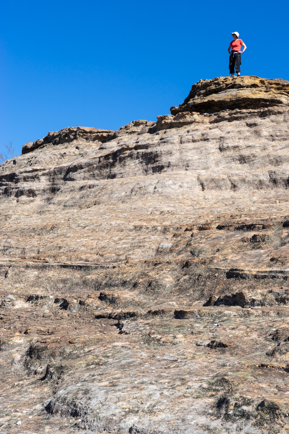
We spent the morning enjoying watching the mist entwine it self through the the surrounding eucalypts and the occasional kangaroo and deer looking on at their temporary visitors.

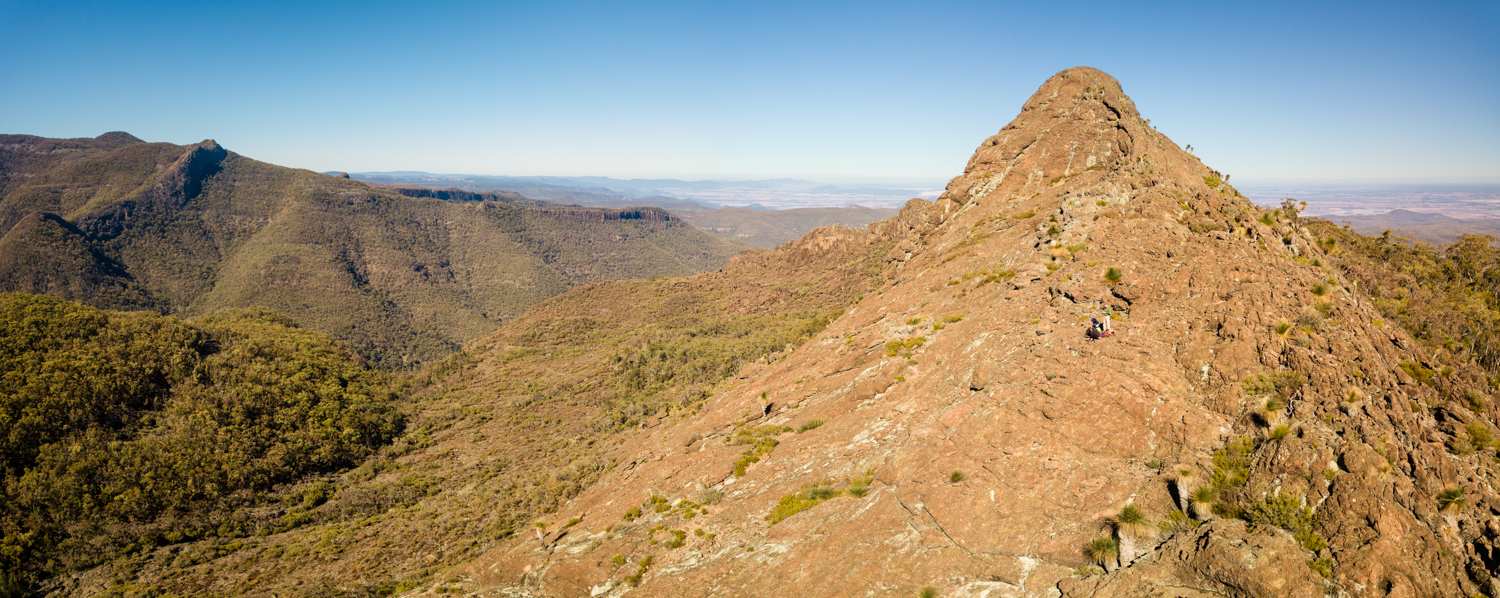
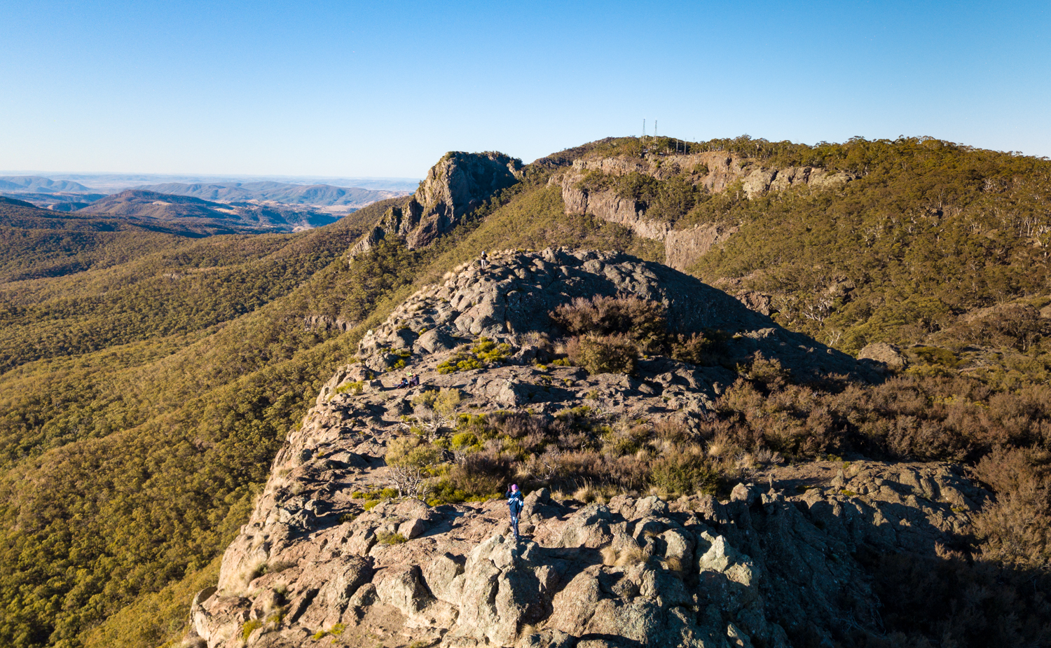
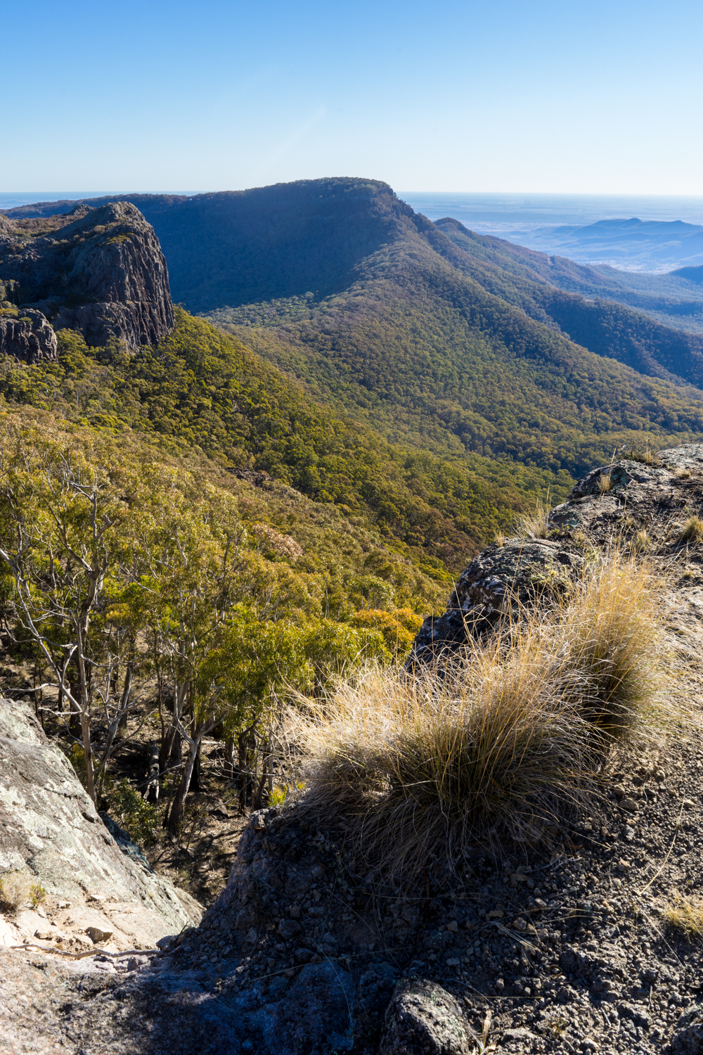
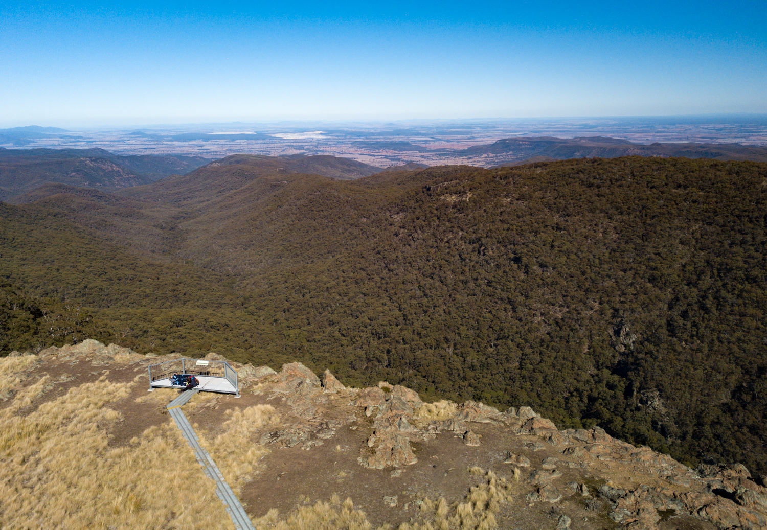
While we could have spent a whole week here exploring the rest of the park, this was not the real reason for this trip so we had one quick stop at the Pinnacle Road Lookout before making our way out of the park via Cunningham’s Pandora’s pass on to our hunt for long left relics. To see what we found click here.

LONR - abandoned-311.jpg
LONR - abandoned-309.jpg

September 2020: Abandoned Adventure

Decay is a part of nature. It is a way of returning to mother earth the resources to rebuild life. Nothing is immune from this. Not a tree, a bird, a person. Not even a building. These human structures equally pass through a transition from a once new sturdy structure, into a rotting, crumbling, lifeless skeleton invaded by nature. While some of these unique places are restored there are many that are left to wither and die.

And it is these mysterious creatures we decided to go searching for in a trip through the Warrumbungle and Gilgandra Shire, in Western NSW.

LONR - abandoned-285.jpg

Chances are, there’s an abandoned eyesore that you already know. While first impressions are that they are rat infested, filthy, dangerous places, upon closer inspection they can be a thing of mystery….and dare i say it - beauty.

Abandoned houses and buildings have always drawn my curiosity. As a photographer these are a treasure trove of compositions. It can be the smallest detail such as the peeling paint, to the lonely forlorn building being consumed in a thicket of blackberry, or the way the light casts its rays through a broken window.

LONR - abandoned-266.jpg

This trip was about roaming the countryside in the hope not just capturing a single image, but telling a story of life and decay in the country. What quickly became apparent was the hunt was easier than initially thought, with every small country town, and backroad filling up the camera memory.

We waded through chest deep grasses hoping to not disturb a sleeping brown snake, crept in and out of buildings, tested spongy floorboards, and - in one instance - were invited into a property by the owner to see what we could find.

Many of the buildings we explored were as creepy as they were fascinating. Ghost stories and haunted houses are the first thing that enters a child’s mind when they see a building such as this. Bu it is not just a child’s mind that starts to hear noises, or sees moving shadows when walking through these homes.

With every abandoned building we photographed there was no shortage of questions that hang over its roof: what caused someone to just get up, walk away, and leave this building behind? Who used to sit in the wicker chair in the shade of the verandah? How long have the news papers been accumulating on the front door step? Where did they go? Why hasn’t it been demolished yet?

If only it was as simple as the old saying - “if these walls could talk”. But it is much more complex than that.

As we silently circle the buildings we whisper to each other, unsure if we are keeping quiet so we dont disturb someone who may somehow be still living amongst the squalor, or for fear of waking the ghosts. Should we knock on the door to see if there is still someone inside? We decide not to in case we discover a human skeleton still sitting in the armchair, the dust filled coffee cup perched on the side table where it was last sipped 20 years ago.

LONR - abandoned-14.jpg

Peering through the broken windows it is an odd feeling of being in a distorted time warp. The cup left in the sink. The newspaper on the fireplace mantle. A lone pair of shoes outside the bedroom door. In some instances it is as though the person has up and left taking nothing but themselves. While anything of any value or use has been removed long ago, what is left behind still leaves the traces of the last few seconds of habitation.

LONR - abandoned-157.jpg

Sometimes it is not easy to tell if there is life inside. While it may be easy to assume that the owner has long gone, there are many examples where physical incapacity or mental illness allows the home to deteriorate around their feet. Unfortunately there is little to differentiate between a deserted house and that of an unfortunate hoarder. Or, maybe the owner still comes back to check on it, not wanting to let something go? But in most instances the reality is that they are left to the possums and mice to make their den, the homeless traveler to squat, or more disappointingly the bored gang of teenagers to scrawl profanities on the wall or light a fire in the middle of the loungeroom floor.

It is not just old homes that are left to the ghosts. Venturing through the many small country towns that dot throughout the miles of farmland, it is equally likely you will find a disused shop or business that has equally succumbed to the ravages of time. Some, like the example below, have tried to sustain life by converting in to a home. But not even this could prevent its ultimate demise.

LONR - abandoned-267.jpg

Behind every closed shop door is a deeper story. Not just the individual tale of why fresh bread is no longer being passed over the counter, but a bigger story of why so many of these country towns are joining the graveyard. Our ever growing demand for cheaper meat, bread and clothing is ultimately killing our farms. We were once proud to say “Australia rode on the sheeps back”. Now we are unwittingly destroying one of the unique characteristics of what makes Australia, Australia.

Many farms cant compete with overseas cheap products, or the squeeze of the supermarkets demanding more for less. The thirst for efficiency drives the amalgamation of farms which means less farmers. This is being made even harder due to the onset of drought and floods as a result of climate change. Sons and daughters can no longer see a future. The population declines along with the homesteads left behind. With this, money leaves the town resulting in a cascade of business closures. What was once a flourishing bakery covered in a dusting of flour, is now just covered in dust.

LONR - abandoned-118.jpg

While there are often random personal belongings that get left behind, many items make their way into second hand stores, ‘opp. shops’, or sometimes into the bigger city “antique shop”. The same item usually triples in cost the closer you get to the City, so it is always fun to explore any of the remaining country second hand shops in search of something unique (such as a bread tin). The good news is, anything you find here will last a life time compared to the modern, cheap, imported, plastic ‘thing’ that is lucky to last 12 months before being relegated to the dust bin. What is certain that many of the goods of today will never be found in a second hand store or antique shop in the future.

Empty shops are not the only thing that you will find as you travel throughout the countryside. Technology brings with it many advantages. One of these is safer and more fuel efficient vehicles. The down side is these cars are more complex meaning the outback mechanic can no longer rely on a hammer and wrench to fix them but require an IT degree to access the car computer chip. In some cases now the farmer no longer owns the tractor but merely receive “an implied license” to operate the vehicle.

Fuel efficiency is also meaning that we no longer need to stop every 200 km to fill up. This is exacerbated in those instances where new motorways completely bypass a town and large multinational ‘Service Centres’ lining their edge meaning there is no reason to call in to the the local ‘servo’.

LONR - abandoned-45.jpg

In the short term we may value the efficiency of a ‘Service Centre” with their multiple self-serve petrol bowsers, self-serve slurpees and fast food. But good luck speaking to the pimply 16 year old at the counter when your car actually has something broken and you need some assistance to repair it. Or worse still, you crave for a true pastie or vanilla slice baked that morning at the local bakery, compared to a mass produced packaged one that has travelled two weeks to get to the Service Centre.

It seemed the further away we travelled from the towns, the more decrepit the buildings became. While some were left to nature to take over, in others examples farm animals have decided to occupy the lounge rooms and kitchens. I could almost imagine the goat cooking dinner over the stove only to pause and bleat out the window to the horse that it was time to come in for dinner.

In other instances, the animals pay little attention to the human artefacts that coexist in their paddock.

So why do many of us have an interest in these buildings? I suppose it’s similar, in some ways, to the fascination we have with shipwrecks. The mystery around why and how the ship came to lie on the bottom of the ocean. The excitement of a chance finding of something valuable.

 While this all may be true, I really think the reason I like searching for these buildings is just an excuse to go driving through the countryside with no plan or destination.

LONR - abandoned-93.jpg

The popularity of exploring old building is a world wide phenomenon. You will find a huge number of photos on the internet if you search for Urban Exploring or ‘Urbex’ . Many of these focus on large abandoned buildings such as hospitals or power plants found in the urban environment. While this has its own unique allure, it is the smaller homes and buildings that grab me the most.

LONR - abandoned-121.jpg

While we managed to explore many homes, the associated sheds perched on the hillside amongst the fields are just as fascinating. Their sheets of corrugated red rusted iron, with curled openings as though a giant can-opener had just been used. While some still manage to be useful, many are no longer in use due to the elements taking their tole, or being replaced by bigger and newer colourbond sheds.

LONR - abandoned-74.jpg

Much like our trip coming to an end, we discover homes that are nearing their own end. The termites have consumed everything they can and moved on and the walls have either rotten away or been removed for firewood. What remains is a lone chimney rising out of the vegetation, like a gravestone leaving a reminder of memories that once were there. But like many cemeteries, the occasional blooming flowers bringing new life and colour to an otherwise somber moment.

LONR - abandoned-79.jpg

We could have spent many more weeks exploring but the camera memory was getting full sot it was time to turn east and head for home. I will leave you a small selection of other images from the trip and allow you to imagine your own story on what lies behind each of these.

A quick thanks to my brother and sister who joined me on this adventure. While the photography was great, the real value from the trip was spending time with you both, sharing a passion and having some laughs along the way.

ps: where is our next adventure???

202AbandonedMap.jpg

August 2020: Hill End, NSW

With COVID forcing many of us to hibernate inside, at some point the thought of ‘the great escape’ takes over. While we did not have the luxury of disappearing in to the outback for months, we did manage to escape for a few days to Hill End. Taking the winding road out past Sofala (must stop here next time) it is not long before you reach the town where time has stood still. What sprung out of gold fever and slowly grew into a thriving town of 8000 prospectors, thieves and misfits has slowly returned to the earth with only a few of the hundreds of building remaining. One of them is the 1872 Royal Hotel which is only one of 28 pubs that were originally here.

As a photogropher, it is a great place to explore the decaying relics of the past.

Love this image of the 2 kangaroos that were rudely disrupted as I was preparing to take a photo.

We stayed at the Pines Cottage - a rustic 1800’s home with basic but comfortable rooms and a great fireplace for those chilly nights.

We were only here for a short time so did not get a chance to explore many of the other areas such as the mines, go fossicking or venture down the Bridle Track. A good reason to venture back one day.

August 2020: A Secret Getaway

Normally in April we would go away for our wedding anniversary but with COVID-19 forcing us in to lockdown we had to wait until now to get away. While we spend most holidays camping in the camper trailer, our anniversary trips are usually somewhere with a bit more luxury. This time I thought I would try something different - a bit of ‘glamping’.

So we ended up staying at the ‘Bubble tent’. Located between Mudgee and Capertee the exact location is kept a secret until you book. There are three tents each well away from each other providing ample seclusion for those who are worried about the idea of being exposed in a clear bubble.

While it tries to give an impression of luxury, the facilities are generally fairly basic with less luxury than our camper trailer. Having said that they have tried to introduce some nice small touches from the hot thermos on arrival and definitely a comfy bed with a view to die for.

We are used to camping but it was still freezing as the night as a storm and high winds blew up the valley. Luckily the electric blankets and ample woollen blankets kept us warm. While the storm meant we did not get to gaze up to the stars, it did mean we had a spectacular sunrise to wake to.

We were only there for the one night so did not get a chance to try out the bath tub with the best view in Australia. It was also near freezing so the idea of spending three hours getting the wood fired bath going was not high on the list of things to do.

The occasional light shower brought with it an amazing rainbow - truly a bubble at the end of the rainbow!

With some high winds I only managed a quick fly of the drone to get a birds eye view of this amazing tent.

As mentioned before, the bed was cozy, and with views like this to wake up to, it was hard to leave.

Overall, it was a great experience to do once but i must admit, having the camper trailer means i have all the things i need as well as the ability to venture anywhere throughout this great country.

August 2020: Blue Mountains, NSW

While we did not camp, but I thought i would share some photos of a hike along Wentworth Pass and the Valley of Waters.

Starting at Conservation Hut, it is an easy walk along the top of the escarpment towards Wentworth Falls, with some great views of the valley below.

When you get to Wentworth Falls you join the crowds who have made the short walk from the car park.

From here it gets interesting. The near vertical climb down into the valley means you leave the day trippers behind.

It is from below where you can fully appreciate Wentworth Falls.

LONR - BlueMts-14.jpg

From here it is a rough trail that follows the bottom of the escarpment pass numerous waterfalls.

Towards the end of the Wentworth Pass trail you reach the Valley of the Waters. And based on these cascades you can appreciate where the name comes from.

A short hike but a great way to spend a few hours.

IMG_2278.jpg

July 2020: Bogee Nights

Winter camping may be cold but the clear nights and milky way make it worth it. This was a quick weekend away to a property hidden in the Capertee Valley. A good excuse to capture the world above us.

LONR - Boggie2020-23.jpg

I love the escarpment that makes up this unique slice of countryside. Someone told me that the valley is longer than the Grand Canyon. Now i will admit it is not as awe inspiring (check my photos out here ), it has it own majesty that lights up especially in the late afternoon light.

LONR - Boggie2020-14.jpg
LONR - Boggie2020-20.jpg

While the mountains are the first thing the camera turns too, it does not take me long to return to those images that tell a story of our relationship with the land.

LONR - Boggie2020-11.jpg
LONR - Boggie2020-9.jpg

There are also surprises, including this tree which has been painted blue in support of mental health. A timely reminder as those on the land do it tough putting up with natures constant challenges.

When you get away from the bright lights of the ‘big smoke’, and darkness settles over the fields, it is amazing how the night sky fills with a chandelier of million stars.

July 2020: Mungo National Park, NSW

2020Mungo-7.jpg

With COVID restrictions finally easing we pulled the dust covers off the camper and headed out west (in the hope of getting dust on the camper). While the borders were closed we still decided to head as far west from Sydney as possible, heading to Mungo National Park.

While camping in winter means less people, it also means freezing cold nights. So to convince the family it is all worth it, we eased into life on the road, staying for a few nights at Yarrabandai Creek Homestead. Located between Parkes and Condobolin, this is part of what was once a 520,000 acre sheep station. In the early 1990’s it was purchased by a Japanese construction company as a workers retreat. They built the homestead with formal dining room, lounge, bar and billiard room, a 20m swimming pool and boat house and four luxury accommodation cabins. It was then on-sold through several families and now operates as accomodation. Not a bad place to spend a few days exploring the surrounding country side.

While there are not many hikes to do, we did manage to climb Mount Tilga, which was once the geographical centre of New South Wales (until technology told us otherwise). We also ventured to Trundle and a quick stop at the historic Trundle Hotel which boasts the longest verandah in NSW on the widest main street in the state. Heading further west through Condobolin and another quick stop at the ‘Utes in the Paddock’. This has lost some of its charm as it was once located in Ootha, but was more recently bought by the Council and moved closer to town as a more easily accessible tourist attraction.

It is sad to see many parts of the Country in decline as farms conglomerate and life on the land gets harder. What is often left behind are the remains with far too many stories to tell. I have a fascination for these relics of the past (some more images here) and try to capture these when I can.

Heading further west, we leave the black top behind and spend the next 3 hours on dirt with not another car to be seen. What is normally a brown parched landscape, is unusually green having had recent rain - gold from the sky for the farmers that survive out here.

To adequately tell the story of this unique place, we joined a tour (Mungo Excursion), run by a local family. Mungo National Park’s World Heritage status is a result of a combination of cultural use, the forces of nature, early european land degradation and modern exploration.

The story begins as a result of the natural westerly winds which blew sediments out of the lakebeds to build up into the crescent-shaped dunes (lunettes) that lie on the eastern edge of each lake. These lunettes progressively, year by year, cover anything on the surface, entombing them in layers like a book, for thousands of years.

Over thousands of years the pages of the book remain closed but with the introduction of white man, sheep, goats and rabbits began to change the landscape for ever. Over time their hoofs stripped the top soil from the dry lake floor and the native trees were removed. The same natural forces that moved the sands, also eroded them, scarifying the lunette, slowly opening up the pages of the book again to reveal relics of the past.

While many pastoralists stepped over bones and shells with little thought of their significance, one geologist, Jim Bowler, began to read the landscape and discovered human bones in 1968, named Mungo Lady. Later in 1974, he discovered the full skeleton of Mungo Man. These have been dated around 40,000 to 42,000 years old, making them the oldest human remains found anywhere in Australia and some of the oldest modern humans in the world outside Africa. But many Aboriginal people say they have been here even longer, reaching back into the Dreamtime.

These are only two of several hundred human remains discovered along with the numerous middens, stones, petrified wood, animal bones and other signs of past occupation. This includes 20,000 year old footprints found in 2003 (the only Pleistocene footprints in Australia and the most numerous yet found anywhere in the world). Analysis by expert trackers reveals that they were likely an extended family who had walked across the soft clay around the lake, which dried like concrete in the sun, and then later covered by sand. Just from the prints it was possible to tell that one man had lost a leg and hopped with the aid of a stick, while another of a woman carrying a child on her hip.

The remains of Mungo Lady were returned to Lake Mungo in 1992, while Mungo Man’s remains were repatriated in 2017. In November 2017, a black vintage hearse trundled across the Australian sheep country inside a rough-hewn casket crafted from 8,000-year-old fossilized wood. A suitable return to Country.

At dusk, we climbed the Walls of China, crossing the rippling Sahara-like dunes. Although only 130 feet high, the dunes tower over the flat desert lake below. Peering to the south, where Mungo Man and Mungo Lady had once walked it is hard to fathom that an enormous hairy wombat called Diprotodons, and a nine-foot-tall kangaroo, Macropus titan, were drinking from the lake that was full of fish and shellfish.

Mungo also has a strong pastoral history which is worth exploring on foot. Starting out from the Mungo Woolshed, built in 1869 from termite-resistant White Cypress Pine logs by Chinese labourers, we weave in an out of the scrub passing numerous signs of past farming use. At the peak of the wool industry Gol Gol was shearing 50,000 sheep a season in 30 stands. It was the Chinese workers who may have given the name Walls of China to the Lake Mungo lunette. We were puzzled why a traditional name had not replaced this, however we were told that the language of the traditional Ngiyampaa, Mutthi Mutthi and Paakantyi people has not been passed on to current generations and the language has been lost.

As the walk heads north, what was once lush green wetlands of the past, have given way to small leaved tussocks and bluebush and saltbush that can survive on drops of water, 50 Deg C. summers and rising salt. The cyprus pines that were not removed for fence posts, along with the mallee eucalypts, create the last pockets of woodland that can be explored along the walking track.

LONR - Mungo-2.jpg

While COVID may have restricted us travelling further afield, it has provided a good opportunity to explore a bit more of our unique backyard - even if it is over 1000km away!

Recovering from the COVID blues: Top 10 Places to re-visit

With COVID keeping us isolated and indoors I thought I would list my Top 10 Camp sites I am looking forward to revisiting as the restrictions lift. A note up front, there are many other sites below that I would love to include but i have only focused on those i have already visited. That is the great thing about Australia - we are spoilt for choice.

1 - Uluru, Kings Canyon and McDonald Ranges

Yes I know I am cheating already by choosing these three but they are generally all done in one trip. This is such an iconic part of Australia that everyone must visit once in their life. Even better is going twice!

LONR - top10-51.jpg

2 - Cape York

There is something exciting about venturing to the extremities of our continent. And none more so than to go North as far as the track will take you.

LONR - top10-102.jpg

While the Telegraph Track and standing on the tip is on many peoples bucket List, dont forget the journey up including Lakefield National Park and the challenging Frenchmans Track.

LONR - top10-96.jpg

3 - Flinders Ranges

The Flinders Ranges is an amazing buckling landscape. with the afternoon sun lighting up the range it does not get much better than this.

LONR - top10-68.jpg

While The Flinders is the main attraction, dont forget to drop by the near by Gammon Ranges for an even remote adventure.

4 - Fraser Island

What can you say. White sands, blue waters, lush rainforests, awesome 4 Wheel Driving. If you own a 4WD this is one location where you need to take it to let down the tyres.

LONR - top10-84.jpg
LONR - top10-86.jpg

5 - Grampians National Park

Probably not on everyones top 10 list but it is probably one of my favourite spots in Victoria to go hiking.

6 - Lawn Hill National Park

This little National Park could almost be my number 1 must visit park in Australia. For those that have ventured across the Savannah Way or travelled through outback Queensland you should not miss this exquisite slice of paradise.

7 - Corner Country

Anywhere in outback NSW is worth visiting but I love the quirkiness of Broken Hill and Silverton, and the great camping at places like Stuart or Mutawintji National Park

LONR - top10-89.jpg

8 - Cradle Mountain National Park

Tasmania is full of gems, none more so than Cradle Mountain National Park. A hike here leaves a mark on anyones memory.

I am also going to sneak in Freycinet National Park and Bay of Fires here. Although breaking the rules it is hard not to mention these two amazing places.

9- Arnhem Land

When you cross the Alligator River you know you have entered a special land. There is something that overtakes you, and you are quickly reminded that we are custodians of this land that we must respect and look after.

10 - Anywhere along the coast

Yes i know this is cheating but there are so many great spots along our great coastline it is hard to choose which one to go to.

11 - Anywhere camping in the outback

With so many choices I had to include one more. There are so many iconic outback tracks. From the Birdsville Track, Strezleki, the Darling River Run. What I love most about these is the remoteness, the nothingness, and the thousand stars that light up the night.

Post Script

No i didn’t forget Western Australia. While i have visited Kalbarri National Park, and the southern parts I am yet to fully explore the west coast. This is our next major adventure in 2022 which cant come soon enough.

I have also not included the Snowy mountains or High Country. While I have visited a few camp sites, again I have not explored enough to do this justice.


January 2020: Byron Bay, NSW

January and the plan was to head to Kosciuako National Park. Unfortunately, wild fires have terrified residents and travellers on the south coast and the snowy mountains. A last minute change in plans saw us head north away from the fires for a few days at Byron Bay.

LONR - byron-3.jpg

Didn’t get much of a chance to take photos apart from the usual family snaps and one early morning shoot. While there was no spectacular sun rise, it was fun watching the dolphins among the surfers.

LONR - byron-8.jpg
LONR - byron-9.jpg
LONR - byron-13.jpg


October 2019: Back of Bogee

Having spent the last few months travelling overseas rather than locally it was good to dust off the camper and head off for a quick weekend away to a friends property. I will leave it to you to find out where Bogee is located.

LONR - Boggie-1.jpg

July 2019: END OF THE ROAD - ALASKA

This leg our journey in Alaska sees us visiting Homer and Seward. Homer’s nickname, “the end of the road,” is fitting as it not only refers to its location at the end of a four-and-a-half-mile spit that unspools from the highway into the dark waters of Kachemak Bay, but is is the end of our journey to Alaska.

Day 1: Beating the Records

 We had been prepared for rain and bad weather in Alaska and for the views to be interrupted by poor weather. We had considered ourselves lucky that we had encountered only a half a days rain the entire trip so far. What we had not been prepared for was temperatures over 30 degrees and bushfires. It reached 92 deg F in Anchorage the day we left, a record for the City. It almost felt like a Sydney summer as we headed to the Kenai Peninsular for the last leg of our Alaskan adventure. Several fires were burning just north of Anchorage and another had taken hold in Swan Lake on the Kenia Peninsula. Pushing onto Homer we were able to only vaguely make out the mountain ranges that normally take centre stage in this region. The large active volcanoes in the region – Mt Redoubt, Mt Iliamna and Mt Augustine where completely covered in thick smoke. It actually provided me with one of my very few sunsets.

Named for Homer Pennock, a con man who arrived in 1896 and lured others to the Homer area with promises of gold, today the village swells to more than 15,000 as mainlanders and Anchorage residents descend to fish, and boat in the bay and drink in the quirky Salty Dawg Saloon built in 1897. Pop-up tents and motor homes bigger than double decker busses line the beach. Little shacks on stilts over the beach sell everything from fishing tours to freshly caught fish.

Homer is definitely a land of ‘huntin, shooting, fishin’. Bumper stickers proclaim ‘Homer is a drinking town with a fishing problem’. While i am not a fan of any of these pursuits it is hard to pass judgement when the Alaskans both live and sustain themselves of the land. It is better than the factory farms of the big city that we rely on.

 It is said that people come to Homer for two reasons. The first is to go fishing for salmon or halibut (a prehistoric looking flat fish that can grow almost 2 metres long and weigh well over 100lb). Whilst we have enjoyed eating the local seafood, we have no intention of having to go out fishing for it.

DSC01270.jpg

Day 2: Bears of Katmai

The second reason people visit Homer is it is the jumping off point to see the brown (grizzly) bears at the famous Brooks Falls in the Katmai National Park. Have you seen that National Geographic photo of a salmon jumping into the mouth of a bear at a waterfall?  Well this occurs during a very small window during July when the salmon start to swim upstream to spawn and the bears gather to gorge on the bounty. Fortunately, we just happen to be here at the exact moment when bear and salmon go head to head in a game of survival.

Katmai National Park is an extremely remote location, in an already remote part of the world.  To get there we board our second float plane of the trip for the one and half hour trip in to a world where Indiana Jones would be right at home. With hearts pounding, our little plane flies blind through fog and emerges amongst volcanic mountains with over 3.7 million acres of untouched national park below us. Soon a small ribbon of blue water indicates our landing strip.

 After safely making it ashore, our first task is to put all of our food in the lockers to ensure no bear mistakes us for a salmon. The walk to Brooks Falls follows a path that includes several raised bridges.  As we begin to walk I start to wonder if we got the timing right and if we will actually be lucky enough to see a brown bear. It did not take long for this to be completely dispelled as a mother brown bear with three cubs ambles up a path just below the bridge we are standing on.

The mother bear enters the river immediately below us, occasionally feeding pieces of shredded salmon to the cubs. Suddenly the peace is shattered as a sub-adult bear decides to encroach on her territory. Quicker than any human could climb a tree she chases the other bear. In a flurry of water and dirt the other bear disappears down a track, its tail well and truly between its legs. The site of brown bear in full flight being chased by an even larger bear, not 10 meters away from you is both scary and exhilarating all at the same time. The bad news is, this is the same path we need to walk down to get to the falls.

DSC01317.jpg

Waiting for a few minutes in the hope that it is all clear Kathy bravely pushes me in front of her and hides behind me as we slowly (but loudly) walk the 15 minutes it takes to get to the viewing platform at Brooks Falls. As we walk to the edge of the water, the site of up to a dozen bears all in the river or on the banks immediately surrounding the falls and another half a dozen or so down the river is nothing short of mesmerising. Katmai National Park has one of the highest population of brown bears and is the only area that the normally territorial bears will tolerate being so close to other due to the abundance of the salmon.

We spend an hour and a half watching the bears catch, or in the case of the younger bears try to catch, the Salmon as they jump out of the water.

DSC01373-2.jpg

After a while we begin to clearly see the different bears and their own unique looks and behaviour. The National Parks staff generally give all bears a number (based on bear monitors) and some have nicknames. We had our own including ‘Fuzzy Bear’ a teenager with the large fuzzy ears, and ‘Diver’, a larger bear who spent most of his time snorkelling for fish.

We could spend hours watching them eat, play and generally roam the river in search for food. Younger adults jockey for position and occasionally scrap with one another.

A mother duck and her dozen or so ducklings do a kamikaze run in amongst the bears. Clearly duck is not on the menu tonight and the bears ignore them. A very large dominant male arrives on scene, taking up his preferred position at the bottom of the falls and the other bears dutifully give him the space he deserves.

P1010680.jpg

The mother bear and her cubs we had observed earlier arrive at the falls chasing away the sub-adult who had been trying, unsuccessfully, to catch a salmon for about 45 minutes. Taking up the exact position he had been standing, she wastes no time plucking a salmon out of the air and hands it off to the waiting cubs.

DSC01507.jpg

Suddenly the dominant male has decided she is too good at fishing and charges her. As bears scatter and water flies, we watch in awe as she protects her cubs who scramble away as quickly as they can.

DSC01518.jpg

While I could spend days watching these wild creatures the thought of missing our plane and swimming back to the mainland was the only thing stopping me from staying. Reluctantly we take the hike back to the beach waving good by to Katmai as the volcanic peaks of Mt Iliamna and Mt Augustine rise up through the haze like floating cumulonimbus clouds.

Day 3: Seward and Kenai Fjords

Leaving Homer we make our way towards Seward taking a detour along the 18-mile-long gravel road that follows the shore of Lake Skilak. The web site describes this as “the premier wildlife-viewing area on the Kenai Peninsula with spectacular views of lakes and glaciers”. Unfortunately due to the fires we have less spectacular views of a white-out.

But the real purpose of our next stop was to visit Seward and Resurrection Bay. This is a good spot to brush up on a bit of Alaskan history. Alexander Baranov discovered and named Resurrection Bay after finding refuge in this small and protected bay during his travels, spending 10 years in the area whilst building a new ship. Baranov was a Russian merchant who was tasked by the Russian government to expand their holdings in what is now known as Alaska to take advantage of the lucrative fur trade in the early to mid 1800s.

The town at the end of Resurrection Bay - now known as Seward – is named after Secretary of State William H. Seward who is famous for brokering the deal to purchase Alaska from Russia in 1867 for 7.2 million dollars or 2 cents per acre. A deal that was originally thought to be a waste of money  - until of course gold was discovered in the very late 1800’s in the Klondike region (yes technically the Klondike is in Canada, but the gold rush that ensued, in which 100,000 prospectors migrated to the ‘Klondikes’ via Alaska is credited with opening up large sections of Alaska).

While the history lesson is interesting we really came here for sea-life and the surrounding spectacular mountain ranges. Boarding one of the many boats offering tours of the Kenai Fjords National Park we motor out into Resurrection Bay. Here the land tumbles into the Gulf of Alaska creating rocky headlands and islands encrusted with seabirds by the thousands nesting along the coastline. As we cruise just metres from the shear cliff face the clown-faced tufted puffins dart from the upper ledges.

DSC01636.jpg

The sea itself reaches inland with long fjords and hundreds of quiet bays created from ancient ice, the perfect habitat for throngs of sea animals including harbor seals, Steller sea lions, and sea otters.

All of a sudden a black and white submarine rises from the sea. Having seen the distinctive dorsal fin before we are quick to recognise the orca, but this time a small pod of females and babies. Coming to a stop we slowly watch the family glide past surfacing and diving effortlessly.

All of these waters are glacier scoured valleys created from the relentless supply of ice from the Harding Icefield which covers an area of over 770 square kilometres. It feeds nearly three dozen glaciers flowing out of the mountains, six of them to tidewater. We get a good look at one of these, Aialik Glacier, with the boat weaving through the small ice burgs bobbing in the water, to sit just off the wall of ice.

Here, where the glacier meets the ocean, we sit in silence listening to the occasional crack echo through the valley as the ice compresses and breaks. Suddenly large chunks of ice come tumbling down the face of the glacier as it ‘calves’ ice bergs into the ocean.

Cruising back to Seward the retreat of the glacier is a timely reminder of the changes to global sea and air temperatures and the sad fact that many of these rivers of ice may never be seen by our grandchildren.

Day 4: An Exit to our Journey

Off the rocky shoreline between Seward and Lowell Point, two sea otters playfully tumble together then duck dive under water leaving me to guess where they will rise again. Watching closely, one of them disappears under water to emerge with a clam tightly tucked in its paw. It then proceed to smash the shell against its belly before tearing out the meat with its teeth.

This morning I decide to head out hunting for sea otters. In the 1700’s Russian explorers began harvesting sea otters for their fine, dense fur, which traditional natives have long known to make extremely soft and warm clothing. Over the next 150 years, as the fur trade continued, the species was hunted to near extinction. Luckily my hunting was with a camera as populations have returned to healthy numbers since the introduction of bans on its’ fur sale. With the otters finally deciding they have had enough of me stalking them and head out to sea i return to get ready for our last real hike of the entire trip.

Driving to Exit Glacier, the most accessible of the glaciers in the park, we are quickly exposed to the rapid timeline of retreat. On the road almost 1km away from the glacier, on the trail winding through the forrest, and ultimately, on the bare rock at the end of the trail are signs marking 195 years of glacial retreat. Tucked in the bushes is a pavilion built in 1987 that once gave visitors an un-interrupted view of the ice. Now it looks into a wall of green alder shrubs, a stark reminder of the pace of change.

Despite a dodgy knee from walking and hiking over 300km since we have been away, we make one last march up a steep trail to get a view of the glacier and icefield. Climbing almost 800 metres in elevation the trail opens up into a stunning meadow area with a carpet of flowers cascading down into the icefield below.

DSC02051.jpg
DSC02039-Pano.jpg


Sitting on the precipice for one last time is is sad to think that Exit Glacier, which got its name from the explorers who travelled from Homer to Seward across the Harding Icefield and exited at this site, is also our exit to Alaska. With only a couple of travel days left it is a fitting end of our journey.

The last leg of our amazing 4 weeks in Alaska was in Glacier Bay National Park exploring what it had to offer both on foot and on the water.

July 2019: Leaving the Road behind - Alaska

DSC01188.jpg

We set off for the next part of our Alaskan adventure – this time a camping trip into the Denali National Park. At just over 21,000 feet, Denali is the highest mountain on the American continent and one of the 7 summits coveted by climbers all over the world. Formerly known as Mt. McKinley, Denali is the mountain's original Alaskan native Athabascan name, which translates quite appropriately to “the Great One”. Whilst we may not have been ready for the 3 weeks it takes to summit Denali we also did not want to spend 10 hours restricted to the bus that takes most tourists into the north of the Park. The good news was I found an alternative that would get us into the heart of the park. The bad news - it would involve 3 nights sleeping on the ground and peeing into a bucket. 

Day 1: A Tent and a Bear

An hour and a half drive north of Anchorage our adventure begins as we pull into the hanger of K2 airlines. What appears to be a movie set, numerous bright red 6-seater de Havilland Beaver planes from the 1950’s are floating on the lake.  Little did I know that these are the work horse of Alaska taking everything from hikers to supplies to remote mountains and towns that are inaccessible by any other means. There is so much remoteness to be reached that one in every 92 Alaskans has a pilot license.

DSC00885.jpg

We load what we thought was our small amount of camping gear on to the plane and climb aboard, me in the co-pilot seat.  A hint of apprehension occurs as the pilot calmly begins to show me how to operate the satellite phone to make emergency calls as well as what the numerous dials on the ancient plane dash should be showing.  As we skim along the lake we go from part boat to part plane quickly lifting into the air. It is not long before we bob and jolt our way into the heart of Denali National Park. Following the large Ruth Glacier, a white streak of ancient ice only a few hundred feet below us, we descend, aiming for a small lake to somehow stop before crashing into the ice wall at the end.

Packing all of our supplies for the three days we hike several kilometres along a narrow trail and through car size boulders to base camp.  All of a sudden I am regretting bringing in that extra pair of underpants as the weight of the pack continues to force my body to topple into the ravine below. Arriving at base camp just before I decide to jettison anything over 100g from my bag, we are greeted with a strange knee-high white fence.  We are informed that this is a bear fence that is meant to prevent us being ravaged by black bears while we are sleeping. Failing to see why a bear would not just step over the fence we are quickly told not to touch this as it has 1500 volts passing through it – no, not enough to kill a bear but enough for them to decide that squirrels are better food than humans. As we unpack, joking about the need for such protection, a call comes – “BLACK BEAR just outside!” Luckily a bear with its cub were happily wandering along the valley a safe distance from us.  

As the night begins to fall – well not really as it does not get dark at this time of year – we roll out the luxurious 1cm sleeping mat, use our scrunched up clothes as a feather soft pillow and cover our faces with something to try to block out the light without suffocating to death.


Day 2: Tarns and Testicles

Opening the zipper of the tent I am greeted with two features of this amazing wilderness.  The first is a vista of snow-covered mountains completely surrounding us with Mount Church rising 8233 feet from the glacier below. The second is an army of 10 million mosquitoes who have obviously realised that human blood must be sweeter than the other wildlife that roam the mountains. After using a month supply of DET we sit and enjoy scrambled eggs and reindeer salami wraps for breakfast (not bad for being made from fully rehydrated packages) while playing sport on how many mosquitoes we can swat. It is not long before breakfast is broken with the second sighting of a bear, a juvenile male, this time much closer just outside camp.

DSC00975.jpg

Not being deterred, we leave the safety of the bear fence camp for our first all day hike. Following beside the Ruth Glacier we search for a way through the moraine which is the rock and sediment deposited by the glacier as it carves out the valley. At first sight this appears to be the deposits of a mine with its huge scar ripped through the earth. It is only when we reach an outlook over the frozen glacier wall that you appreciate the power of mother nature. 

DSC00952-Pano.jpg

The boulders and rock debris soon give way to a carpet of white, yellow and purple flowers as we climb higher into the mountains.  With no paths in this wilderness we follow our nose towards a peak in the distance. While this hike would normally be undertaken either in the rain, or threat of rain, we were experiencing a rare heat wave in Alaska.  Luckily, we pass two tarns, or small lakes formed by glacial erosion and look forward to a well-deserved swim. It was not until the body plunged in the water that I quickly realised that there is something colder than ice.  As the body went into protection mode sending all the blood to the vital organs, I only had enough capacity to swear profanities (in a very high pitch!) and claw my way out of the water before certain death was to occur. Now that was invigorating! 

DSC00966-Pano.jpg

Reaching the final peak with more un-describable views in every direction I sat and reflect on not only how lucky I was to have survived swimming in the tarn but also to be experiencing this remote part of the world.

DSC00993.jpg


Day 3: Our own Mount Denali

There are a few things I must mention about this amazing trip.  The first are the guides who really make this experience memorable.  I will change their names for their own protection. Let’s just call them Ian, Sarah and Tom. Ian is our lead guide, a wirey young man who has more knowledge of the mountains than his age suggests.  Part master chef, part intrepid adventurer, Ian manages to juggle food preparation and the complexities of keeping us safe, all with a constant smile. Sarah is a super hero that would fit any action cartoon.  This is someone who spends their winter blowing up mountains in the snowfields to cause avalanches before the skiers head up each day, and in summer heads to Alaska to lead climbers up to the summit of Denali. Obviously looking for a rest, Sarah is our other guide for the trip. And finally Tom, who is a mix of Tom Selleck and Bear Grylls.  With a dry sense of humour and a somewhat questionable ability to play and sing ‘House of the rising Sun’, he is the camp ‘Mayor’ responsible for the setting up and running of base camp. While I thought carrying that extra pair of underpants was too much, he has the unenviable responsibility of carrying everything into and back out of camp.  The story goes something like

 “Tom – we need you to carry that 44 gallon steel drum into camp as a bear proof container“–

TOM -  “no problem I will just throw that on top of my 90 pound backpack and sing Greenday along the way”.  

DSC01162.jpg


The second is a bit more about camp life.  The company we travelled with, Alaskan Alpine Adventures, are serious about the theory of leave “no trace”. From spitting our toothpaste into a waste bucket, to carting out a poo bucket (sorry there is not more sanitised way to say it) we ensure that not even a dropped peanut is left on the ground. To ensure that bears and other animals are not attracted in to camp we have a huge barrel where all food, toiletries and anything else that does not smell like dirt is stored (yes the one Tom kindly brought in on his back!).

Leaving the squirrels, mosquitoes and bears behind to work out how to best raid camp we head out on our second all day hike. With another warm day we search out another peak to conquer.  As we climb over snow drifts, and through thigh deep water crossings (it is now I wish we had rubber boots again) we are quickly questioning when and if we will be needing our puffer jackets.  The great thing about being so far from civilisation is the ability to drink the water directly from the melting glaciers. People pay big dollars for this stuff bottled.

As we begin to gain elevation we also quickly begin to get steeper. Part climbing, part terrifying scramble up a near vertical face, we eventually get to the top of our own peak at 3900 ft.  While nowhere near as tall a Mount Denali, we have another amazing post card 360-degree view, including a quick glimpse of Mount Denali peak itself through the clouds.

DSC01072-Pano.jpg
DSC01080.jpg

While going up was a challenge, we soon realise that getting down is going to be even harder.  What at first appears to be a sheer drop, is overcome by sitting on your backside and letting gravity do it work, sliding precariously through the knee-deep vegetation. Finally reaching the bottom and dragging ourselves back to base camp, we have another ‘brisk’ wash in the stream and fall in to bed exhausted but euphoric about our last couple of days.

DSC01148-Pano.jpg

Day 4: Planes, trains and parades

The final day we repack everything into our bags for the hike out (along with the ‘poo bucket’).  The hike up and over the rock boulders is as difficult as I remember coming in but less exciting knowing we are at the end of the trip.  The sound of a propeller echoing through the valley is the sign that the plane is not far away. Climbing aboard we quickly shoot in to the sky, six small dots of our tents at base camp disappearing into the distance.  As we climb higher a large white peaked mountain thrusts from the valley into the blue ocean sky above. What is usually obscured by cloud for two thirds of the time, Mount Denali is clearly visible. Even the pilot decides to do one more turn to get a look at this majestic mountain.

DSC01167.jpg

Landing back in Talkeetna, we are thrust in to the middle of an American celebration – the 4th of July Parade.  At the best of times Talkeetna is a quirky town with a mix of locals, hippies and climbers passing the time at the Denali Brewery and Hotel.  To give you an example of what this place is like, previously, residents of Talkeetna officially elected a cat as its mayor. 

But today was a special day with the weird and wonderful residents leaving their cabins hidden in the bush to join the parade of old cars, horses and decorated quad bikes down the main street. Travellers gather on outdoor restaurant patios watching the parade go by while they gorge on caribou burgers and fireweed icecreams.

DSC01238.jpg

With the afternoon festivities about to get in to full swing we reluctantly leave, boarding the Alaskan Railroad for our trip back to Anchorage.  What was originally built to support the gold rush in the early 1900’s, now takes passengers on the scenic trip north and south though Alaska. Sitting in the open glass topped coach we are finally rewarded with one last prize – a quick glimpse of our first Alaskan moose which we have been searching for since we arrived.  A fitting end to our trip in to the wild.

DSC01247.jpg


July 2019: The humpback highway - Alaska


Long before the cruise ships paraded up and down the Inside Passage of Southern Alaska, John Muir, founder of the Sierra Club and an early advocate for national parks, was seeking adventure, much like we were today. Alaska had been on our bucket list for many years but we agreed that our 50th birthday present was to escape to this ‘last frontier’.

While we may not be willing to follow Muir’s footsteps in a small canoe, we also did not want to join a ship larger than a major city full of poker machines and mobility scooters. So instead we opted for a unique small ship cruise for 7 nights exploring the little inlets and bays of this Alaskan Inside Passage wonderland.

DSC00731.jpg

Day 1 – Sitka Departure

Meeting late in the afternoon to board the ‘Wilderness Explorer’ with just 45 passengers on board, we settle in to our small, if not cosy cabin. Out little floating hotel for the week may not have all the bells and whistles of a large ship but the multiple kayaks off the stern of the boat were a good sign of the fun ahead. The personal nature of the ship was reinforced as we were introduced to each of the crew and guides– Ben (the leader) Christian, Kelly and identical twin sisters Megan and Sarah (who don’t normally work together but just happened to be on the same boat for our trip. Of course!). We also met Emily who would become a critical staff member keeping us suitable lubricated with any cocktail we could name.  First nights dinner of sock eye salmon would be the first of a week of locally sourced seafood found in this part of the world.

As the ship slowly sneaked out of the harbour under grey skies heading for the Magoun Islands – a cluster of small rocky outcrops dotting in the Hayward Straight - the question if the weather gods would be on our side was the main topic of conversation into the night.

Day 2 – The Magoun Islands

The day started with an early morning gym session on the back deck. I know, I know -  we are on holidays but the plan was to burn enough calories to justify the big breakfasts, lunches, desserts, afternoon teas, cocktail hour drinks and nibbles and three course meals we were planning to consume each day. 

The big advantage of a small ship tour is that most of the day is spent either on the water or hiking the remote islands that dot the glacier bays. Jumping in a skiff we explore around the Islands to get acquainted with the land/seascape and what it has to offer.

DSC00205.jpg

The water is calm, but the clouds hinting of the misty rain that would start falling.  We had been warned during our briefings to expect it to rain, and rain often. So the saying goes "if the barometer goes up it is going to rain, if the barometer goes down it is going to rain and if the barometer doesn’t change then its still probably going to rain". Sun is considered “cloud failure”. The other piece of useful advice we received was there is no such thing as bad weather, there is only being badly dressed for the weather. So, appropriately clad in raincoats, rainproof skirts on the kayaks, we happily hop into the kayaks and paddled around for a couple of hours.

IMG_8786.jpg

Safely back aboard it was time for happy hour, just as the sun decided to bathe the islands in rays of golden light. As we sat on the outer deck enjoying the cocktails and warmth, a raft of sea otters similarly enjoying the rare Alaskan sun drifted past. But the otters were soon to be out done. 

Each night we were entertained with an educational talk on the history, animals and plants of Alaska. Tonights talk was on the numerous bird species we would see from the bold “bald Eagle”, the multiple types of sandpipers and the small plump marbled murrelet.  But the talk was soon interrupted with an important announcement from the Captain over the loud speaker - “Bear on the banks ahead”!

As the room emptied quicker than a fire evacuation we all rushed up to the bow as it nudged towards the bank. Ahead a large single brown bear (only the educated know that we don’t call them Grizzlies in Alaska) slowly grazing on the rushes on the waters edge. Not a bad way to start the trip!

 Day 3 – Kalinin Bay

Leaving the Magoun Islands, we sliced our way through the Neva Straight to Kalinin Bay. Anchoring in the horseshoe shaped inlet we set off on an all-day hike across to Sea Lion cove which fronts directly onto the Pacific Ocean. Standard uniform for hiking anywhere in South West Alaska is the humble gumboot. The thought of a 6 mile (10 kilometre) hike in a pair of rubber boots is not for the feint hearted, but as the saying goes – when in Rome…About 2 meters into the walk we quickly realised, after sinking thigh deep in mud, that these all terrain go anywhere shoes are a must.

Tramping though the meadow we are soon brought to a halt with another bear in the distance - this time a brown bear and her cub. Turns out this mumma bear is the alpha bear in the region and shows little interest in us. Her cub seemed a little more disturbed as we made our way carefully past them on the other side of the meadow with the guides hand firmly gripped on the bear spray. A little further along the trail we startle a juvenile bear who luckily decides to run away from (and not towards) us. I am quickly growing an appreciation of being ‘Bear aware’ as we hike in these less visited parts of Alaska.

DSC00213-Pano.jpg

A fairly scrabbly bush walk follows, up and over a small mountain, to a high lake then dropping down to the beach. It reminds us a lot of a small version Wineglass Bay Tasmania, although the water temperature is 10 degrees colder than what we had thought were freezing temperatures in Tassie. Despite the cold, our guides and several fellow travellers brave the hypothermic temperatures to plunge into the Pacific Ocean. We opt for a leisurely stroll along the sand, the only other foot prints before ours, those of the local deers. 

DSC00221-Pano.jpg

As we retrace our steps, we encounter yet another Brown Bear, this time far off in the meadow.  This one is more inquisitive standing on his hind legs to check to who this strange creature is in his part of the forrest.

Cocktail hour was calling so we return to the boat to have a soak in the hot tub under the still sunny skies as we begin to cruise down the long Chatham Straight. Known by the locals as humpback highway, the Chatham Straight is a major route for Humpback Whales.  It did not take long before the tell tales signs of water spouts gave an indication that we were not the only large mass in these waters. In John Muir’s words:

…a half dozen whales, their broad backs like glaciated bosses of granite heavily aloft in near view, sprouting lustily, drawing a long breath, and plunging down home.

What a way to end the day.

DSC00282-2.jpg

Day 4 – Bay of Pillars / Patterson Bay


After travelling all night, we awake to yet another sunny day this time in the Bay of Pillars. Jumping into kayaks we are soon joined by a dozen sea otters (Cats of the Ocean according to Kelly our guide because they eat, sleep and groom their way through the day).  The otters appear as a brown head popping up out of the ocean and then a set of flippers about 3 – 5 foot away. Seeing brightly coloured kayaks is usually enough to send them to the bottom whilst we play a game of “lets guess where they will pop up again”.

Back to the boat for a short cruise to our next destination – Patterson Bay. Having gone kayaking in the morning, we decide not to do the 6 miles up the bay chasing the boat in a kayak and instead opt for a more leisurely skiff tour in search of more wildlife. That decision turned out to be both good and bad. Good as we got so see a harbour seal as well as another brown bear. And Bad – as Kathryn lost her brand new prescription sunglasses over the side of the skiff whilst taking pictures of the said seal. We were hoping the seal might be trained enough to go down and grab the glasses for us, but sadly no luck. 

On our way up Patterson Bay we took the opportunity to jump up into the bridge where the captain, the second mate, the tour guide leader and a tour guide where all glued to binoculars trying to find signs of life on the steep cliffs. Specifically they were looking for wild mountain goats. It was quiet pleasing to know that even they mistake a rock or a patch of snow for a goat.

The surrounding mountains reflected like a mirror on the calm waters, only broken by the wake of the boat as we made our way up the Chatham Straight. Entering a narrow channel where it felt like you could stretch your arms out and touch the rock walls, we entered Red Bluff Bay. At the end of the Bay a beautiful two hundred foot high water fall cascaded directly into the Bay. With the cliffs descending vertically under the water the boat slowly nudges up to the front of the falls, its spray enveloping those standing on the bow of the boat.

Another unforgettable day in paradise.

DSC00382.jpg

Day 4 – Basket Bay / Iyoukeen Cove

Waking early to yet another gloriously sunny day – the likes of which the guides tell us they have rarely seen (at least not a run of sunny days joined together) – Kathryn sets off to the “gym” on the back of the boat again to work of last nights amazing desert. Just when you begin to question why you’re on a cross trainer early in the morning, a whale pops his head up just 10 foot off the side of the boat to greet you and follows for the next 30 mins or so, lazily making his way up the humpback highway. 


Basket Bay is blessed with crystal clear waters like that of a large marine aquarium - with star fish, sea slugs and schools of small fish visible below. With such calm waters we quickly jump into the kayak to immerse ourselves in the fish tank. Paddling to what first appears to be little more than a small creek inlet, it soon expands into a marble grotto (or cave) cut through the rocks. We slowly paddle through the cave and re-emerge on the other side to a small waterfall, pausing to marvel at the work of nature in creating such beautiful landscapes.

The afternoon we briefly motor to another small bay called Iyoukeen Cove. The unique feature of this Cove is a shelly beach covered with small glaciated pebbles and rocks. Looking for a new type of adventure we opt for our first taste of a “bushwhack” – a walk into the forest (bear country mind you) without the nicety of a fixed path. You literally thrust yourself into the edge vegetation and then follow a bear (or deer) trail, whilst your guide is calling out “haaaaay-oup” to let the bears know you’re coming.

We finished the day in the spa sipping cocktails and our first peek of the mouth of Glacier Bay as the sun set.

Snapseed.jpg

Day 5 – Glacier Bay

Two hundred and fifty years ago Glacier Bay was not really a bay at all but a massive river of ice, 180 kilometres long and as tall the mountains around it. Since Vancouver discovered the massive Glacier whilst trying to find a safe passage through the mountains in 1794 the majority of the glacier has retreated, leaving behind less than a dozen small remaining tide water (ocean facing) glaciers. 

We set out to cruise the sixty miles up the bay where a river of ice once held ground. Our first call over the loud speaker from the Glacier Bay National Park Ranger, who had joined us for the day, was that we were approaching Marble Island. This rocky outcrop is a favourite haunt for a large number of species of birds, including the Puffin and a boisterous colony of sea lions, snorting and grunting as they sunned themselves on the shoreline. 

DSC00485.jpg

Travelling further up the Bay, several hump back whales joined us after their long journey from Mexico to feast on the nutrient rich waters and restock their blubber reserves after calving.

Reaching the head of the bay, the now infamous Grand Pacific Glacier and the Margerie Glacier, the most impressive of the ocean facing glaciers, towered above not only our small ship but even the largest twenty story high cruise liner.

Naturalist John Muir, who visited Glacier Bay 85 years after Vancouver had first explored the many inlets and glaciers that make Alaska’s south west coastline, found the Glacier receding as fast as a mile per year. Of the glaciers he wrote.

“An imposing array of jagged spires and pyramids and flat-topped towers of many shades of blue from pale shimmering limped tones in the crevasses and hollows to the most startling chilling almost shrieking vitriol blue on the plane mural spaces from which bergs had just been discharged”.

DSC00626-Pano.jpg

(Can you see the boats in the three pictures above?)

Making our return trip down the bay we slowly motor past goat mountain, looking for tiny white smudges camouflaged on the near vertical rock face. After watching the beautiful scenery and the occasional see otter, porpoise and harbour seal go past from the top deck I head for the bow of the boat to watch the afternoon sun (yes another rain free day) shimmer on the water.

In the distance a large black distinctive looking fin emerges from the water like the turret of a submarine. A whale definitely, but this was no ordinary whale. As we get closer the distinctive curled tip and black and white pattern on the body is a sure sign that we have witness the very first sighting of an Orca in the bay this summer.

DSC00681.jpg

Whilst Vancouver and Muir explored this land in the late 1700’s and early 1800’s the native Huna Tlinglet tribe had called this land home for hundreds of years before that. To gain some appreciation of this history we stop at Bartlett Cove to visit the Tribal House (Xunaa Shuka Hit), a recently constructed dedication to the of the importance of the native Huna Tlinglet connection to the waters and land of Glacier Bay.

Another fitting end to another unforgettable day.

Day 6 – Fern Habour

We spent our last day at Fern Harbour, another turquoise water inlet, home to many sea lions, otters and seals. The morning we don our rubber boots and set off on a second “bushwack” to get a real taste of what it would have been like for early explorers climbing the surrounding mountains through dense thickets of shrubs, trees and ground cover plants where no one has ventured before.

DSC00745-Pano.jpg

Several scratches, falls and clamours later we reach the high muskeg area overlooking the bay. Muskegs are boggy, peat-rich flat areas, with water lily-filled ponds, moss, lichen and insect catching sundew plants. Despite the warm 25 degree day  - a scorching temperature for Alaska - the views from the top of the mountain are mesmerising with glaciers flowing like whipped cream in the valleys down to turquoise blue bays. Definitely worth the mud, sweat and scratches.

Our last activity for the day, and also the entire trip is a leisurely skip cruise following the rocky shoreline to say hello (and good-bye) to our watery friends. 

While this could be followed by a relaxing soak in the hot tub, this is Alaska. As a result a few of us brave (or foolish) agree to take the “polar plunge” – this is where we decide it is a good idea to jump from the third level of the ship into the icy, freezing, cold, glacier fed waters (yes it was cold). What a way to remember this week.


John Muir is credited with changing the perception of Alaska from one of daunting cold to enchanting beauty. Following this amazing week journey along the Humpback Highway I hope to continue to follow Muir’s search for the beauty in this world:

“As long as I live, I'll hear waterfalls and birds and winds sing. I'll interpret the rocks, learn the language of flood, storm, and the avalanche. I'll acquaint myself with the glaciers and wild gardens, and get as near the heart of the world as I can".
John Muir

DSC00464.jpg


JUNE 2019: A road trip across the Canadian Rocky's

I have not had much chance to get the camper out this year as we have been saving for our big trip to Canada and Alaska. This is our first leg from Vancouver to Banff. It seems i got used to driving a Mustang in my last US trip so looks like a good excuse to get another one.

DSC09474.jpg

VANCOUVER to WHISTLER

Following a week in New York and Boston for work, I flew to meet Kathy at Vancouver. While Cities have their own charm, this is not why i travel, so a quick overnight in Vancouver then pick up the car. Known as the Sea to Sky Highway, the drive follows along the shore of Howe Sound, Porteau Cove, past lakes, forests, and waterfalls (Shannon and Brandywine the most impressive).

DSC09477-Pano.jpg

We reached Whistler in the later afternoon just in time for a stroll around this quaint mountain village that hosted a previous winter olympics.

WHISTLER to KAMLOOPS

What is most famous as a ski village, Whistler is now an all year adventure town with down hill mountain biking, zip lines and bungee jumping keeping the adrenaline pumping. Our drug was Via Ferrata which is a combination of hiking and climbing with the use of safety harnesses.

GOPR1811.jpg

While we could have stayed for several days, the road was calling. So we pushed on in the late evening (lucky it does not get dark until after 10.30pm) through the most scenic winding roads (gota love the Mustang) to a cheap hotel is a small town called Kamloops.

KAMLOOPS to JASPER

This drive to Jasper is not as spectacular as the Sea to Sky Highway or the roads after Whistler, but it is still fun in a Mustang. Deciding to make the most of the amazing mountains I took a late evening hike up a hill overlooking the town for some sunset photos after arriving into Jasper in the late afternoon.

DSC09500.jpg

Jasper

Jasper is another Ski Village that makes the most of the summer season. The scenery is stunning making a 50km trip turn in to several hours of driving as you need to stop every 10 minutes to take in the scenery. We set off early in the morning and made our way to Lake Maligne. The drive from Jasper winds along the glacier valley running between the Maligne and Elizabeth mountain ranges. The Lake itself is the largest natural lake in the Canadian Rockies, stretching 22.5 km’s in length.

Escaping the crowds again we hiked 13km up the adjacent Bald Hill stopping for lunch at the summit to admire the view down to the lake and surrounding mountains. A mix of forrest, steep rocky passes and snow covered trails, and 360 deg mountains made this a great hike. While no bears on this hike we were joined for lunch by a cheeky chipmunk.

In the afternoon we sought an easier walk, this time through Maligne Canyon. The Maligne Canyon is carved deep in to the rocks and only a few meters wide, water rushing and thundering below.

JASPER to BANFF

The next day we were back on the road, this time following the 232km Icefields Parkway. This winding road passes through the heart of the Canadian Rocky Mountain Parks World Heritage Site, past more mountain lakes, ancient glaciers and broad sweeping valleys.

A quick stop at Athabasca Falls along with several thousand tourists, who decamp off buses like a plague of locusts all seeking their selfies at this beautiful falls (somehow i managed to get a photo without many people in it).

DSC09674.jpg

Next stop was the Athebasca Glacier. The massive six km long and one km wide tonque of the Athabasca Glacier flows is one of the most visited sites in Canada. Not wanting to spend over $100 each to join the bus loads of tourists who bus onto the icefield, we opted for the short walk to the base of the Glacier. This huge chunk of ice is in continuous motion, flowing down the valley like a frozen, slow-moving river. Because of a warming climate (if you ever wante evidence you just need to stand here), the Athabasca Glacier has been receding or melting for the last 125 years. Losing half its volume and retreating more than 1.5 kms, the shrinking glacier has left a moonscape of rocky moraines in its wake.

DSC09693-Pano.jpg

But to escape the tourists again, we hit the trail for a 12km hike up Wilcox Pass/Wilcox Ridge. Breathtaking does not do this walk justice with scenery over snow capped peaks, wildflower meadows and the icefield 1000 metres below.

DSC09734.jpg

After a long hike it is hard to get back in the car but we had one more stop before reaching Banff. I lie, we stopped multiple times at lakes, waterfalls and mountain vistas. But eventually we reached probably the most photographed lake in the rockys - Peyto Lake.

BANFF

With a multitude of hikes to choose from you are spoilt with choice on what to do in the areas surrounding Banff. With the weather gods still on our side we decided on The Plain of Six Glaciers which begins at Lake Louise for our first hike.

Starting at the famous Fairmont Hotel, if you fight past all the chinese tourists you will see Lake Louise - a strange milky blue colour dotted with brightly coloured canoes carrying more chinese tourists.

But the best views take hard work so the long hike up the mountain was our choice.

Half way up there is even a tea house where we had tea and hot chocolate. They bring all supplies up by horses, giving hikers a well deserved rest along the way.

The trail takes you up close to the heart of Mount Lefroy (left) and Mount Victoria (right). From here you can look down across the crevasses of the Lower Victoria Glacier and the moraines left behind hundred of years ago by the Lefory and Victoria glaciers.

DSC09824-Pano.jpg

But our walk was only half done with a further hike along to Mirror Lake and Agnus Lake. All the lakes are completely different colours from emerald green, deep blue, to torquiest. Some may try to convince you they are died for the photographers, or the lakes are drained and the bottoms are painted. But the real reason is due to the type and amount of glacier silt or rock flour in the water. The silt is created from the grinding movement of the glacier which stays suspended in the lake. The sunlight that reflects off this rock flour is what gives the lakes their spectacular colour.

DSC09845.jpg

But our highlight for day 1 of Banff was our first real bear encounter - a mum and her two cubs - feeding on the dandelions in the sun (their favourite flower), oblivious to all around them.

Day 2 of Banff, and we headed back up the mountain, this time to the smaller but no less spectacular Lake Morraine which is yet another shade of blue. Moraine Lake is only half the size of its nearby neighbour Lake Louise, situated in the beautiful Valley Of The Ten Peaks. It’s a scene so spectacular that it has graced the Canadian $20 bill twice in the past.

From the lake we heading up the mountain again, this time to the Larch Valley and then onto the Sentinal Pass. I now know the definition of a pass - a bloody high crossing in the mountain. Lots of snow and very steep - walking across snow covered ledges just 20cm wide.

The rugged grandeur of hiking through Larch Valley, Minnestimma Lakes (small alpine tarns) provided another unique walk through wild flowers and snow. In autumns these trees turn a flush of orrange and yellow but are no less spectacular at this time of year. Again no grizzly but i did encounter a cute Marmot romping through the alpine blooms.

From the forrest the trail leads up a series of steep switchbacks to Sentinel Pass. The last few sections were snow covered with steep drop off on the side making it precarious to say the least. But the end was worth it as you gaze out over the unparalleled views. Yet again the view from the top off the pass was compensation enough for the aching feeling in the legs.

Returning back down we had a decision - carefully walk down the multiple switchbacks with the possibility of falling unexpectedly down the face of the mountain or taking a controlled slide (glissade) down the snow shute. Luckily we had been shown how to do this by the guide on our earlier climb in Whistler. So throwing caution to the wind, we donned our raincoats (to make the slide easier) and glissaded over the edge.

DSC09866-Pano.jpg
DSC09927.jpg
DSC09906-Pano.jpg

Back in Banff, I decided to head out in the evening for a quick trip up Mount Norquay, this time in the car. While there was no dramatic sunset it was still a great way to finish the day.

Banff to CaLgary

Before heading to Calgary, one last stop in our Canadian adventure was Johnston Canyon - and easy 6km stroll along the waters edge past a series of waterfalls.

A fitting end to a great week in Canada, with amazing scenery and amazing weather, we arrived at Calgary to light rain and temperature dropping to 9 degrees and reports of snow in Jasper.

Next stop - ALASKA


May 2019: Melbourne

My daughter was luckily to be selected to the Nationals in Gymnastics this year so we flew to Melbourne for the event. A good excuse to take the camera along to capture not only the gymnastics but a little bit of the city as well.

LONR - Melbourne2019-13.jpg
LONR - Melbourne2019-14.jpg

April 2019: Dunn's Swamp, NSW

It’s been a long time between drinks with limited travel due to work commitments.

It was finally time to dust of the camper and get some dust put back on it as we headed away for the weekend to Dunn’s Swamp in the Wollemi National Park.

Wile the National Park has some remote areas, one part that is easily accessible, even in a normal sedan, is the Dunn’s Swamp - Ganguddy Campground.  Located not far from Lithgow there are approximately 80 spaces to choose. However be warned as many sites are only for tens so, if you are like us, it pays to get there early during school holidays to get a spot for the camper. Tip: you will soon be able to book online so check the NPWS website.

There are a couple of small walks (1 hourish) including the Weir Walk and Pagoda Lookout which provided panoramic views over the Cudgegong River and surrounding volcanic outcrops.

But one of the main reasons to come here is to paddle on the swamp. The good news is that it is actually a lovely lake formed due to the construction of the Kandos Weir. This was constructed in the 1920s when the river was dammed to provide water for a cement works. 

We spent the weekend paddling past purple swamp hens building their nests in the reeds, and black cormorants fishing from the rocks. And if you are very lucky like I was, you may get a chance to sight a platypus on the water edge (no photo unfortunately).

July 2018: Mount Kaputar, NSW

LONR - MtKaputar-5.jpg

What do you do when they are expecting the coldest July weekend for the year - You head to a Mountain!  Mount Kaputar to be precise, in central NSW.  The National Park is located about an hour from Narrabri so our chances of camping alone when the chill factor would get well below zero were high.

The Nandewar Ranges are an extinct volcanic range created between 17 and 21 million years ago. What is left of these volcanoes now provide an amazing walkers paradise with panoramic views from many of the peaks.

The Yulludunida Walking Track is a hard 4km return hike which starts at the Green Camp car park.  The first part of the walk is a constant climb up a well formed stairs through the woodland.  Once you reach the base of the Yulludunida 'crater' it open up to an amazing rock summit.  From this point you follow the stone cans with some near vertical climbs up the rock face. There were definitely point that I was thinking - i hope no one falls as there is only one way out and that is via a chopper.

The Corrunbral Borawah walk is an easy 2km return that begins at The Governor carpark.  From hear a open track takes you to the top of The Governor with more amazing views over the range.

From Dawsons Springs camp area there is a, easy 6km round trip hike that takes in a range of lookouts. Eckford Lookout overlooks the southern part of the park and Lindsay Rock Top, a strange open rocky lava flow, both having spectacular views over the surrounding agricultural plains. The day of our walk didnt get above about 5 degrees but luckily there was not a breath of wind.

LONR - MtKaputar-36.jpg

While Mount Kaputar is the highest peak at 1512 metres, it is the easiest to access with a short 4WD track to the peak and a viewing platform to make life easy.

LONR - MtKaputar-4.jpg

Probably the most frustrating bit of the trip is when you drive for 8 hours looking forward to some dark night skies and you realise you have forgotten your tripod!  The best I could do was one shot with the camera on the ground.

LONR - MtKaputar-14.jpg

If you plan ahead you can also get a key to access the Barraba track which climbs from the small town of Barraba on the eastern side of the park.

A short video from the trip

One track Mind: A Trip along the Frenchmans

While I have not had a chance to get up to Cape York recently the following story was published in the May 2018 Issue of 4WD touring Australia. 

LONR - Frenchmans.jpeg

Sitting at Moreton Telegraph Station we were having a well-earned rest having recently reached the Tip of Cape York.  A grey nomad sitting near me excitedly remarks to his partner, “I just heard that it took someone 6 hours to do the 50km stretch and another person flooded their car in the Pascoe”. It was looking like our fun was not over yet.

Most who make the pilgrimage to the tip have one track in mind.  The Telegraph Track.  And while the ‘Teli’ is famous, there is another less travelled track that is one of the Cape's most testing – The Frenchman.  The Frenchmans Track is a ‘shortcut’ (in distance not time) from the Peninsula Developmental Rd to Kutini Payamu (Iron Range) NP. 

Cape York-2.jpg

Contemplating what I have just heard, I read over the 4WD rental agreement one more time.  The good news is that it does not say we can’t go on the Frenchmans.  The bad news is we have no winch.  At this point I begin to question the decision to hire a 4WD rather than drive my own car all the way to the Tip.  But, like many, the ability to take enough time to travel from one side of the Country to the other was not feasible.

Having flown to Cairns, we hired a 4WD with the aim of exploring as much as possible in the short time we had off.  While the thought of trying to explain why we turned the rental into a submarine was not pleasant, there was no turning back. 

Leaving Moreton Telegraph Station we head south looking for the small turnoff, having been told it can easily be missed.  Sure enough, we miss it. Turning around we spy a sandy track deviating off in to the open forest.  After a short drive the tree canopy begins to close in, the vegetation doing its best to remove the dirt scar through its heart.  We soon realise that the lush green canopy is accompanied by what was to be the first of many bog holes.

The term ‘bog hole’ does not do them justice, as the reality is, they are really long, watery slush pits.  While we do our best to test how deep it is, the distance makes it impractical, and no one volunteers to walk their length.  While sensibility would have us turn around, with plenty of right foot and turns of the wheel, we power through each of them, hooting at the end of each one.  This was fortunate as the lack of a winch or maxtrax (sitting comfortable at home on my own 4WD) would have made it a very slow dig.

After 12 very slow km we reach the Wenlock River and the next real test of what a stock 4WD can really do. The trusty landcruiser drops down the steep rutted entry to Wenlock River with only a few heart palpitations being caused.  I am definitely glad I’m not going up the other way.  The base of the river is firm with water lapping the top of the tyres.  “This is not that bad after all”, I think, as I slowly get lulled in to a false sense of security.

From here, a mix of sandy, rutted and open tracks provides all manner of variety keeping the drive fun.  However the smile is quickly removed as we stop perched at the top of a bolder strewn drop off.  I stare down into the Pascoe River, and the thought of our conversation back at Moreton.  Unsure what frightens me the most, the rock littered track or the depth of the flowing river, I take one last check of that rental agreement again.

Throwing caution to the wind, I thrust it into 1st gear low range and descend over the ledge. The stock cruiser, wanting to show of to the growing congregation, works its magic descending the track like a ballerina hoping lightly from one ledge to the next. 

Like all river crossings up the Cape the level of difficulty is proportional to the amount of rain.  However the Pascoe is deep most of the year with large rocks hidden under water ready to destroy a diff if you pick the wrong line.  This is one crossing that must be walked to locate any deep holes ready to test out the insurance claim. With a mix of power, low tyre pressure and fingers crossed we part float, part lurch to the other side.

It is not over yet with a steep exit so we point the nose to the sky and hang on tight. Coming to a stop at the top, the blood begins to return to the knuckles griped around the steering wheel like a boa constrictor snake.  The grin of both relief and exhilaration returns to the face knowing that I won’t have to do any explaining to the hire company.

From here we cruise along the white sandy heathland, grey termite mounds standing like soldiers on either side celebrating our success. We eventually join Portland Road and make our way to Iron Range National Park with a quick stop at Lockhart River for supplies. Lockhart is famous for the Lockhart River Art Gang, where you will find a studio with local artists producing paintings, basket weaving and other traditional craft works.

Back on the road, Iron Range National Park lives up to its name with its yellow and red rocky escarpment. While early travellers came here in search of another yellow mineral following the discovery of gold by John ‘Jack’ Gordon in 1934, the modern day traveller can enjoy bird watching in one of the largest remaining area of lowland rainforest in Australia.

However our aim was to see if we could spot one of the much rarer green pythons the area is famous for.  Heading out for a walk along one of the tracks at night, we have been told the pythons are sometimes seen curled around branches overhanging the track ready to catch any unsuspecting dinner morsel. The torch catches glimpses of red from the reflecting eyes of the crocodiles looking at us as a possible dinner morsel. Having walked for 15 minutes I am surprised to see what looks like a rubber snake directly in the middle of the track.  As we approach the plastic snake begins to move.  It seems luck was on our side, not only getting through the Frenchmans unscathed, but seeing one of these majestic creatures in the wild.

Cape York-IronRanges2-Snake.jpg

Having spent a few nights at Chili Beach with its postcard palm lined beach, we return to the Peninsular Development Road. Crossing the Pascoe river again, this time a much easier ford, we re-live the excitement of the previous few days.

Our last stop is Rinyirru (Lakefield) National Park. During the wet season this low-lying area becomes an inland sea making it completely impassable. But during the dry, the numerous wetlands and streams come alive. Surrounding the Lakes, the Nifold Plains are an endless sea of tall grass interspersed with hundreds of termite mounds. Camping by one of the numerous Lily covered Lagoons we watch the magpie geese and sarus cranes search for breakfast amongst the red lotus flowers.  It is advised not to get to close to the edge for risk of ending up breakfast for the crocodiles that also inhabit the wetlands.

Our last camp is at the Old Laura homestead, a great spot to relax and share the stories of conquering the Frenchmans in a stock fourby. While many put off visiting Cape York due to the distance to get there, the idea of hiring a 4WD may just be the ticket you need to experience this part of Oz. ….But just remember to check the rental agreement before you take the plunge.


May 2018: Branxton Rodeo

May saw a trip out to the Branxston Rodeo in the Hunter, NSW. While many of them are amateurs they still know how to ride a bull. 

LONR - BrankstonRodeo-17.jpg

If the riders were crazy, they are not as mad as these guys who put their body on the line to protect the cowboys.

LONR - BrankstonRodeo-15.jpg

They also manage to have a bit of fun despite the dangers.

But there is a whole lot more at the rodeo than bull riding.  There is some amazing horsemanship as cowboys and cowgirls put their horses to the test. 

What I also love about events such as these is it does not matter the age, everyone gets involved.

LONR - BrankstonRodeo-7.jpg

April 2018: Kangaroo Valley, NSW

Not many photos from this trip as i was under strict instructions. It was our wedding anniversary.  Despite this we did manage to get out and explore this great part of NSW and I snuck in a couple of images.