Pipe Dream

This story is an excerpt from Issue #111 of Outback Magazine: Feb/March 2017.  To purchase a copy go to: https://www.outbackmag.com.au/shop/back-issues/

LONR - Outback cover - Pipe dream.jpeg

A 20-year vision has brought water to a long-dry lakebed in south-western New South Wales.

The gentle lap of water on the shore of Paika Lake is broken only by the chatter of the banded stilts, their long pink legs probing the muddy shallows searching for dinner. The recently planted native rushes and reeds sway in the fresh westerly breeze. This is a far cry from the arid dust-laden paddock that once stretched out in front of Dianne Williams, the owner of Paika station, as she contemplates the remarkable journey to get here.  “There were times when locals would come up to me and say they have never seen water in the lake. I would quickly reply, ‘Well unless you are over 100 years old you wouldn’t have’,” Dianne says.

Paika Lake, Cherax Swamp, Hobblers Lake and surrounding wetlands are part of the Murrumbidgee River system in south-western New South Wales. In 1908 the lakes were disconnected from the Lowbidgee floodplain, when levees were constructed to concentrate water on the most productive land. Eventually Paika Lake and the surrounding wetlands dried up. As a consequence, “the health and diversity of plant and animal life dwindled, the river red gums that fringed the wetland had stunted or were near death, and the native seed bank was all but gone,” Dianne says.

In 1997 the Williams Family bought part of Paika Station. In the years that followed, drought was a constant reminder of how precious water was to the land. Dianne remembers when the dry lakebed was so fragile and could not be stocked for fear of losing all the soil. She says the westerly winds would swirl through the parched property, stripping it of life. “I remember years and years of shovelling buckets of dirt off the veranda,” she says.  

Sue and Peter Morton, owners of the adjacent station, shared with Dianne a desire to restore water to the land. The Morton family has been farming for three generations in the area and Peter’s commitment to restoration started as a boy collecting bird eggs with his father. Little did he realise this hobby would one day result in him bringing thousands of birds to a lake that had been dry for more than a century.

To read the rest of the story purchase the magazine at: https://www.outbackmag.com.au/shop/back-issues/

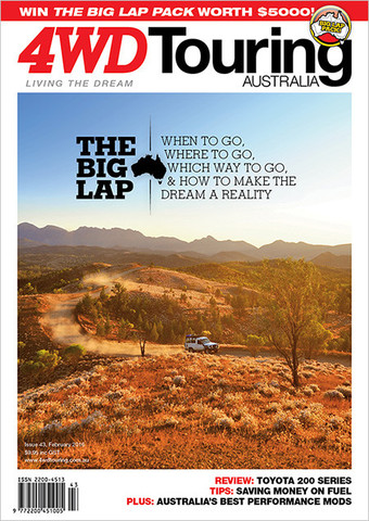
A Lap of Van Dieman's Land

his story was covered in issue 59 of 4WD Touring Australia.


That little island at the bottom of Australia has been on the bucket list to explore for a long time.  Finally we were able to escape the mainland and get a taste of what is has to offer.  


Many long to take a year off and do a lap of Oz.  For those that can’t spare the time the next best thing is to take a lap of a smaller heart shaped island at the bottom of the world. While Van Diemen’s Land was once a place of horrors for those that stepped on the wrong side of justice, today Tasmania is an ideal place to explore some of the National Parks it has to offer.

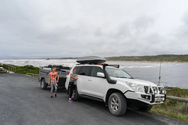
As a ‘mainlander’ we chose to take the car and camper on the Spirit of Tasmania. Departing the ferry we turn right in search of what the wild west coast has to offer. While many head for the popular towns of Strahan or Queenstown, the plan was to seek out the gravel road that weaves like a flowing river along the edge of the Tarkine rainforest. Wanting to make the most of the dirt we leave the highway at Smithton and head to Green Point Beach which overlooks the west tip towards Cape Grim.  This small free grassy campsite is a popular spot for surfers who come to experience ocean swells that have travelled hundreds of kilometers over remote oceans before crashing in to the coast.

Not only do the ocean swells travel hundreds of kilometres before reaching the west coast, the ‘roaring forties’, build up momentum having left South America, creating a windswept and wild coastline as though sculptured by a madman with a chainsaw. It’s easy to see why a part of this coast is known as “The End of the World”.

From Arthur River the road heads to the former mining settlement of Corinna. Known as the Western Explorer Road, this easy gravel road takes you along the edge of the Arthur Pieman Conservation Area. Arthur Pieman provides an ideal opportunity to lock the hubs with the Balfour Track the most famous, its 70 metre long canal-like stretch of water often requiring a submarine to get through.  As the area is renowned for eating cars this one will have to wait for another time.

Arriving at Corinna, the wilderness retreat has some small but pleasant campsites strung out along the Pieman River. While there may not be any phone reception there is still the ability to get a cold beer at the old Tarkine Hotel.

Corrina is also famous for the Fatman. Not, the person behind the hotel, but the small barge big enough for our car and camper only, to cross the Pieman River.

We spend the next few days enjoying the fact that the kids electronic devices cant connect and explore the walking trails through rainforests with 1000 year old Huon Pines, their branches draped by fluorescent lime green moss.

While the west coast provides a taste of remoteness, we move on to Cradle Mountain National Park, proving an opportunity to don the walking boots and breath in the fresh mountain air.  Many make the easy Dove Lake circular walk, while some tackle the famous 6 day overland track between Cradle Mountain and Lake St Claire.   We opt for something in between with several long day walks through button grass moors and majestic mountain peaks covered with bursts of red and orange wildflowers like an English garden. The final climb to the summit of Cradle Mountain is only for the brave with vertical boulder hopping that leaves a passing walker trembling as they descend.

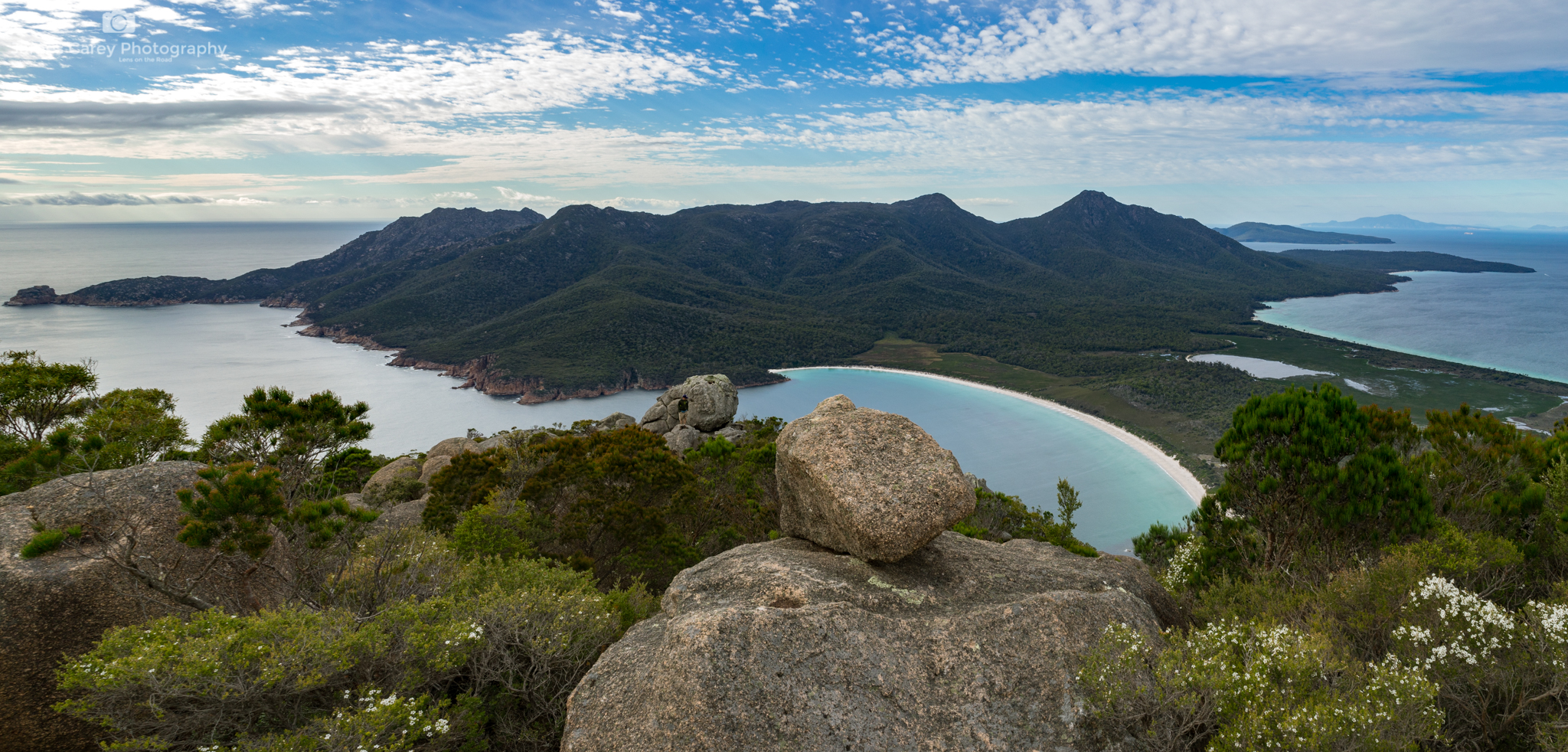
Continuing on the lap we make our way to Freycinet National Park. While not a place for off-road driving, the campsite perched on the edge of Great Oyster Bay makes the effort of bringing the camper trailer well worth it. While the popular walk to Wine Glass Bay Lookout gives you a taste of what the park has to offer, to truly experience its white sands, we continue on to the bay and Hazards Beach. The next morning we climb the harder Mount Amos to watch the morning light caress the bay. With adrenalin still pumping we hire Kayaks and slowly glide through the turquoise water exploring the inlets and little bays.

While weeks could be spent at Freycinet we have one more National Park to add to our list, this time continuing up the east coast to the Bay of Fires Conservation Area.  While many think the name is due to the fire red and orange algae that covers the boulders, the name was actually given by Captain Tobias Furneaux, in 1773, when he noticed numerous fires along the coast.

Featured on many lists of the top 10 beaches in the World, it is hard to argue against its ranking especially when you can set up camp at one of the numerous free sites along the coast. Despite it being mid summer and the blue water and white sand passing for a tropical island, the cool waters are enough to keep us ‘mainlanders’ from anything more than a refreshing dip.

A few more days are spent exploring the dirt roads of Mount William National Park before completing our lap and returning on the Spirit.  The early convicts dreaded the thought of being shipped to Van Diemen’s Land, but we look forward to our next sail across the Bass Straight in search of more dirt tracks and spectacular campsites.

January 2017: Tasmania's West Coast

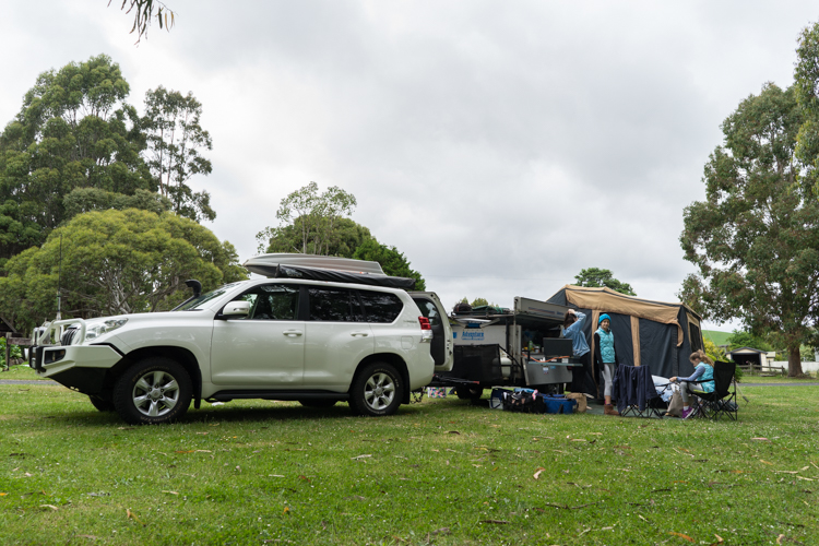
Time to hit the road again, this time jumping on to the Spirit of Tasmania to the 'Apple Isle'.  While we did not see too many apples we did get to explore some of the amazing natural scenery the island has to offer.

PART 1: WEST COAST

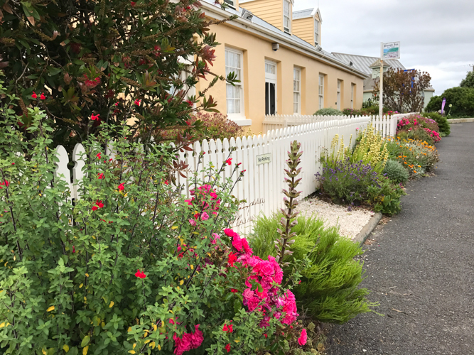
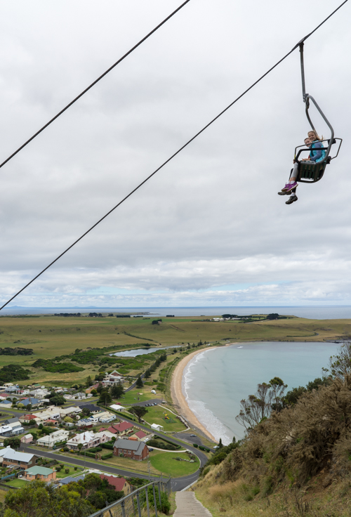
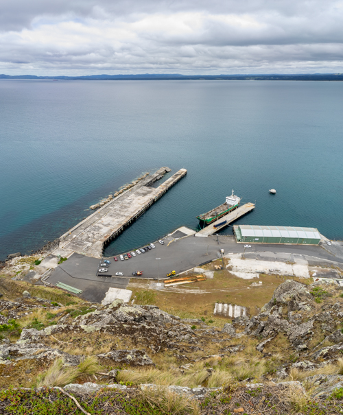
This post I will focus on the West Coast as we made our way from Devenport west. First stop Stanley, famous for the sheer-sided bluff called the Nut, the remains of an ancient volcanic plug. For the fit their is a steep but short waling track to the summit of the Nut, or you can take the chairlift.

From Stanley we continued to the coast following the less travelled Harcus River Road to Marrawah Green Point Campground. This small free grassy camp site is a stones throw to the beach.

From here we followed the to the 'Edge of the World'.  Located at Arthur River, this certainly does feel like the end of the world with a wild, rugged coastline battered by the wild roaring forties.  

From here it was a drive along the Arthur-Piemann Conservation area.  Based on the car and trailer not being capable of being a submarine we bypassed the Balfour Track.  

A few days were spent at Corinna, a historic town set in pristine rainforest on the banks of the Pieman River.  Located on the edge of the Tarkine temperate rainforest, the area is famous for the Huon pine.

A Pub with No Beer

This story appeared in the October/November 2016 Issue of GoCamping.  It is based on a trip along the Frome Downe Track in the Gammon Ranges, South Australia.

Much like Slim Dusty’s tune about the stockman who rides up to the local watering hole only to find “the pub has no beer”, we arrive at Waukaringa Hotel only to find it dry.  This is not surprising, being the last remaining ruin from the original Waukaringa township of the 1880’s.   Once a thriving mining town, the only other signs of an earlier life is the deep mine shafts, scattered bolts, and other workings discarded from settlers searching for the elusive yellow metal.

We arrive here to set up camp not long after leaving Yunta a small village near the NSW-South Australian Border that serves the passing travellers who rush along the Barrier Highway.  Our goal was to leave the procession of cars and trucks and take the less worn path north along the Frome Down Track. From here we won’t see another sign of black tar until we reach Leigh Creek, over 500km away.

The Frome Down Track can be traversed by any standard 4WD making it a great alternative for those wanting to get away from the crowds. The lower part of the track is generally in reasonable condition due to local mines near by.  Where yellow gold was once unearthed, this has been replaced with yellow cake as uranium is extracted from the ancient riverbeds. 

While mining is still going on today, life as a miner in this isolated, parched land must have led many to drown their sorrows in the Waukaringa Hotel.  Leaving camp, it is not long before we find another sign of the challenges of living on the land as we take a detour to the Erudina woolshed.  With a series of good rain seasons in the late 1800, the government issued numerous pastoral leases.  However Dorothea Mackellars poem could not be any truer as droughts quickly replaced the flooding rains. The woolshed is a reminder of the challenge of maintaining a head of sheep in this remote landscape.

From here the track meanders through Spinifex, tussock grass and gidgee woodland. The two small wheel ruts are lined with Sturts Desert Pea, much like Captain Charles Sturt recorded in 1844 " growing amid barrenness and decay, but its long runners were covered with flowers that gave a crimson tint to the ground".  During this expedition Sturt and John McDouall Stuart explored the eastern shores of Lake Frome before turning north searching for an inland sea. 

Much like Sturt and Stuart, we continue on our expedition following the edge of Lake Frome. While there is a rough 4WD track that heads out to the Lake we make our way to Balcononna in the Vulkathunka-Gammon Ranges. Having travelled through the flat vast plains, the rising Gammon Range erupts from the earth creating deep chasms and gorges carved by the rare river floods. A hike along the Weetootla Gorge is a great way to experience this geological museum of 800 million year old rocks twisted and deformed.  What was once an inland sea has now been buckled and then eroded, providing an ideal home for the yellow-footed rock-wallaby.

Our camp for the next few days is an isolated spot next to one of the many dry river beds. If you want to have a break from the canvas there is the option of staying in Balcanoona Shearers Quarters or Grindells Hut built in the early 1850s. But the reason we travel these remote parts is to camp amongst the Coolabah Trees with the camp oven gurgling over the open camp fire.

North of Balcononna is Arkaroola which contains an extensive range of 4WD tracks. But we head west following part of the Wortupa 4WD Loop track. The full loop is 80km as you rise and fall over the range, each crest opening up to an epic panorama that would grace any Ken Duncan wall.

Heading further west, we exit the park and pass more reminders of the challenges of living on the land such as the Idninha and Yankaninna homestead ruins.  While the early Europeans made hard work living here, the traditional custodians of the land, the Adnyamathanha People have continued to coexist.  In 1998 the Nantawarrina Indigenous Protected Area, which covers 58,000 hectares of their land between the Gammon and Flinders Ranges, became the first indigenous protected area to be declared in the country.

Adnyamathanha means ‘rock’ or ‘hills’ people, and as we pass through the protected area the last glimpses of this rocky red escarpment disappears from the rear mirror.  Eventually black tar reappears as we reach Leigh Creek, completing a 500km track that few travel.  It must be time to find a hotel that serves beer.


Mutawintji Country

The following story appeared in Issue 51 of 4WD Touring Australia 

For more images of our trip to this amazing place go to: Mutawintji National Park

While many of us look at this country as an observer of the land, water animals and plants, the traditional owners see ‘Kiirrakiirra’ or ‘Country’ with a deeper connection.  Country is not only the landscape, but the stories, uses, kinship, and events intertwined with time, place and cultural relationships.  It is this connection we seek at Mutawintji National Park in the corner of outback NSW.

Leaving Broken Hill, the flat plains of saltbush and mulga are unusually green and plump following the recent rains. It is a rare reprieve from what is normally a dry, dusty earth that glows and shimmers in a heat haze. There is little to slow down for except the regular road kill to allow time for the large wedge tail eagles to slowly take off like a lumbering fully loaded jumbo.

Eventually the tar is replaced with dirt as we head towards a small uplift that breaks the horizon.  Here the Byngnano Range begins to rise as a red rocky outcrop exposing its 400 million year old sea-bed. It’s not long before we enter Mutawintji National Park, which lives up to its name as ‘place of green grass and waterholes’. We quickly set up camp at Homestead Creek, its flat grassy sites amongst the welcome shade of the River Red Gum trees making it an idyllic spot for the next few days.

This is the only place for permanent water between the Darling River and Coopers Creek, which made it an important stop for the horses in the early European journey from Broken Hill to White Cliffs. While rock rubble is the only thing that remains of the other watering hole – the Rockholes Hotel, it is a different cultural history we have come here to experience.

For the same reason early Europeans stopped at this sanctuary in an otherwise barren outback, it was a meeting place for ceremonies, trade and sharing of wisdom for the traditional custodians of this land.  To develop a better understanding of this history we meet Mark to be taken on a walk through the restricted Mutawintji Historic Site. Mark is a Malyankapa man, and Mutawintji is his family's traditional lands.

We begin at the Mutawintji Cultural Centre and are quickly immersed in an audio-visual display that tells the Dreamtime story of Kuluwirru Ancestor God who lived in the sandstone caves of Nutharungee Hills and how he created Mutawintji. From here we are led up in to the rocky escarpment past native lemon grass, bush tucker and medicine plants to see his creation.

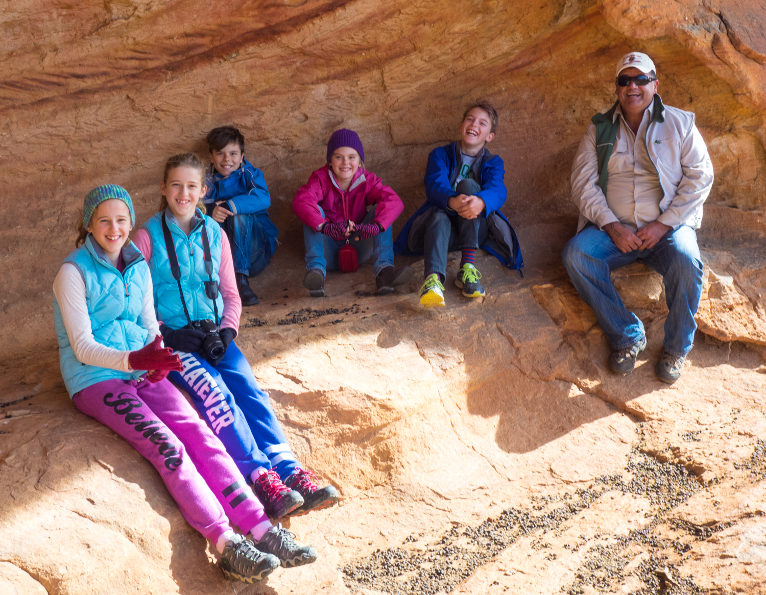
Entering the rocky overhangs the hand prints of traditional owners of the past seemingly wave from the dreamtime. Mark is a commanding man who’s imposing size is quickly replaced with a softer side as he quickly draws the children together under his wing giving them a unique privilege to get close and experience the rock art. With his hand pressed up against the ochre-stencilled cave wall, he re-enacts a tradition that has occurred for several hundred years.

There are many stories shared and many that are left to the imagination such as the references to Snakes Cave (a traditional men's initiation site) and Mushroom Rock (a traditional women's birthing site).

We cross the valley and wind our way up another escarpment to a point where the entire hillside has become a canvas of rock art etched in to the flat bedrock.  Here emus, kangaroos, ceremonial headdresses, boomerangs, animal tracks and gods have been carefully carved into the stone. Only senior men were allowed to add to the hill and looking out from the top of the range it is easy to see why this place was chosen to sit and tell the Kuluwirru dreaming story.

Mark’s passion for country is equal with his enthusiasm to share the story of the historic action of the local community. What began in September 1983 with a blockade by about 100 local Wiimpatja and their supporters eventually resulted in Mutawintji becoming the first National Park in NSW to be handed back to Aboriginal owners.  At the end of our tour Mark also hands us back with greater wisdom and knowledge allowing us to explore the rest of the park.

Having woken from a chilly -2 deg overnight we spend the next two days doing our own exploration of the 4 gorges that bisect the range each named after a colour of ochre. The Mutawintji Gorge Walk, Wester Ridge Walk and Rockholes Loop Walk all have taken on new meaning, connecting landscape stories, events and cultural relationships.

Exhausted, but feeling more connected, we sit by the fire for our last night, its glow creating shadows of the gum trees out across the dry river bed.  As the ghostly shapes move in the crisp night air the words of Elizabeth Hunter, a traditional elder from the area, swirls between their leaves –

“Kaarukaya, yuna yuku ngaangkalaana kiirrinana, Paliirramarri kiirra, kiirrayi.”

“There is a place out in the west, and it’s the place that I love best”.


What to do

MUTAWINTJI GORGE WALK (6km) - a 3 hour return walk that leads you into the gorge, over rock boulders ending at a large rock pool surrounded by the red imposing cliffs.

WESTERN RIDGE WALK (6km) – departing from homestead creek camp this walk leads up the range past rock art and then traverses the ridge that overlooks the plains to the west.

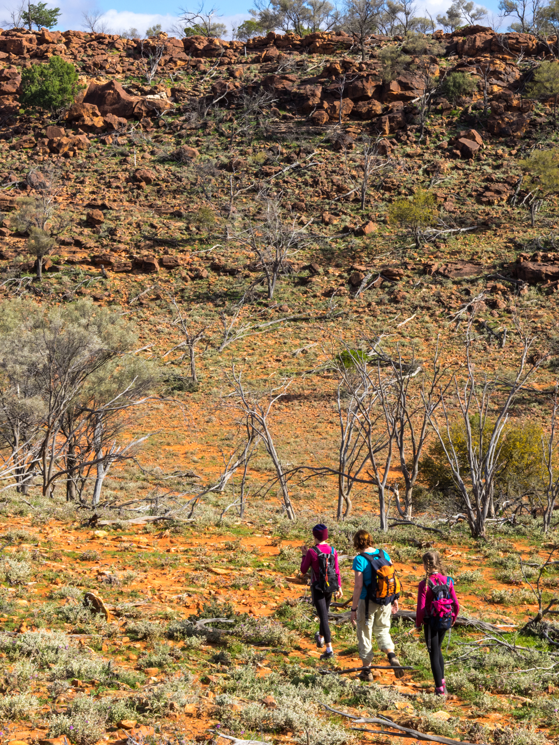
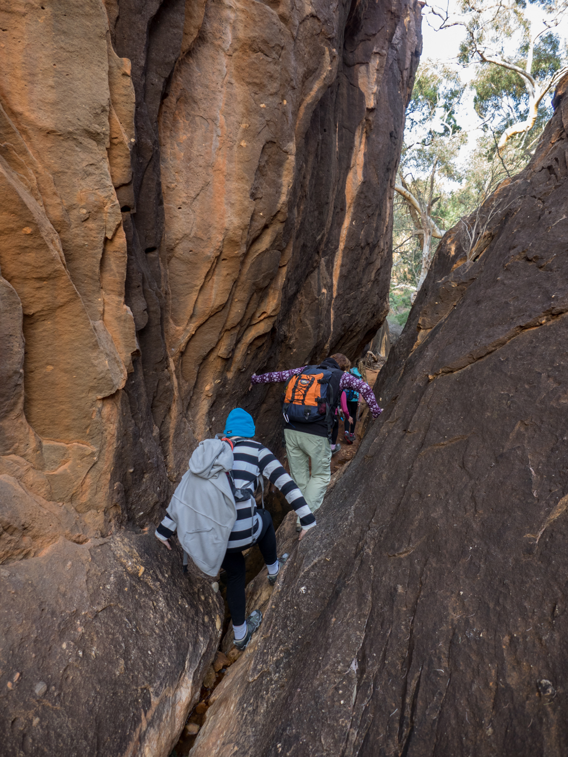
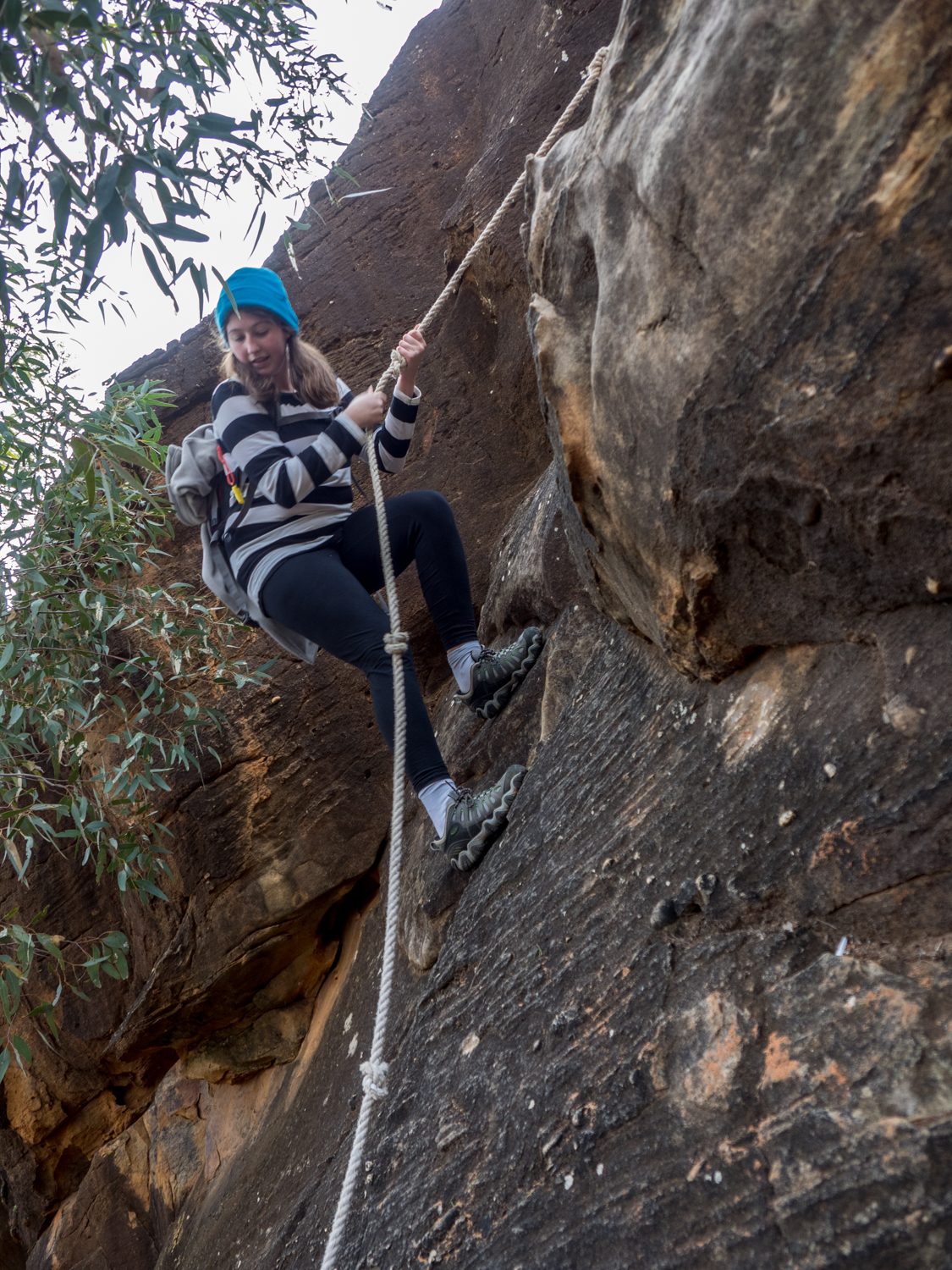
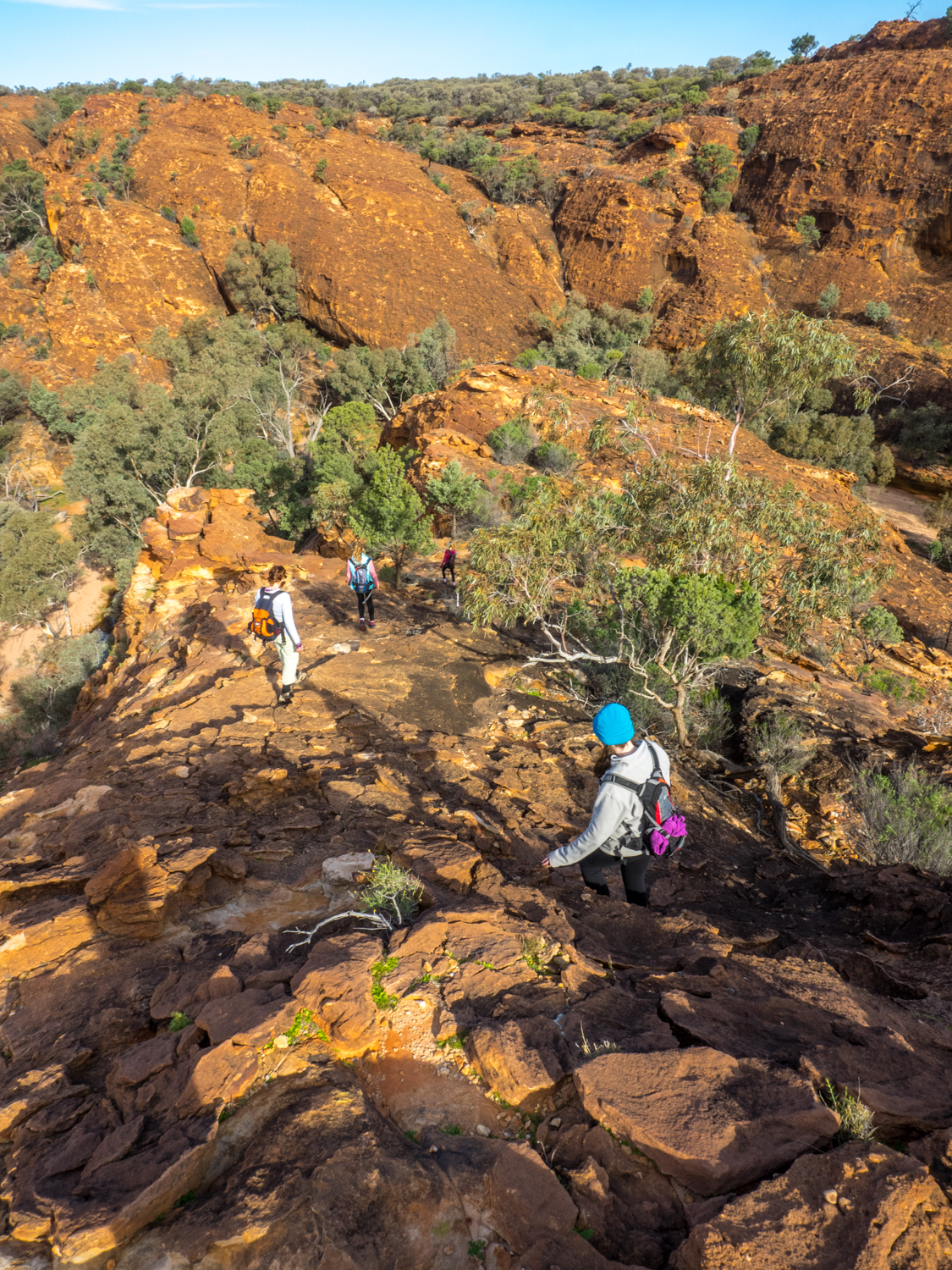
ROCKHOLES LOOP WALK (4km) – This walk allows you to experience rock art and waterholes then up to the peak of the range with amazing outlooks before returning through narrow rock crevasses and down ravines with the assistance of rope.

OLD COACH ROAD DRIVE – While there are no difficult 4WD tracks in the park there is a nice 10km drive out to a walk to Split Rock.

MUTAWINTJI HISTORIC SITE – To protect this sensitive site it is only accessible with a guide.

Touching the Gulf

This article appeared in the August/September 2016 Issue of Go Camping.  It covers a section of the Savannah Way in the Northern Territory and Queensland Gulf Region.

Standing looking out to the Sir Edward Pellew Group of Islands, the warm ocean water of the gulf of Carpentaria slowly encircling my feet, it’s days like this that remind me why I love travelling this remote country.

The Gulf of Carpentaria is home to some of the most isolated coastlines in Australia with only a handful of places where a track leaves the safety of the woodland in search for the wide tidal beaches and turquoise blue water. Named after Pieter de Carpentier, Governer General of the Dutch East India Company, it was sailed in the 1600’s by Dutch navigators. 

Modern day navigators in 4WDs generally head this way for two reasons.  One is to make the pilgrimage along the Savannah Way, which runs all the way from Cairns in the East to Broome in the West.  The other group are those that come to spend a week, month or forever to fish the rivers for that prize winning Barramundi.

Our journey was to do both with the added experience of following Burke and Wills desire to travel overland and touch the gulf.  Leaving Katherine in the northern Territory its not long before we join the Roper Highway.  A ‘highway’ is an interesting definition when you consider it is composed of a dirt track that has corrugations that would shake the false teeth out of any driver making the journey.

This section of the Savannah Way was also known as the Coast Track, becoming and path for a floating band of criminals and misfits on the run from Queensland. While originally called the coast track the track rarely gets within 100km of it.

One place where you can find a slice of the coast all to your self is on a private property called Lorella Springs.  Located 550km from Katherine, it is part of a one million acre former cattle station. The vast cattle stations were established in the pastoral boom of the 1880s, however Lorella now catering for a different kind of muster as travellers congregate around the watering hole – in this case an open air bar.

Taking a 29km side road off the Savannah Way you know you are in for a rough ride with a sign proclaiming ‘100,000 bumps to go”.  While the car may not appreciate the effort, the sight of green lawn, surrounding natural springs makes the journey worthwhile.

Lorella Springs is twice the size of the ACT, comprising open savannah land, rivers, watering holes, billabongs, imposing escarpments and hundreds of km of 4WD tracks.  The size and remoteness of this place also means it’s not hard to find yourself at a secluded watering hole in the knowledge that very few others have wallowed in the sparkling pool.  It is also good to know that you wont find any locals.  That is locals of the salt water croc type, making it a perfect place to wash off the dust after days on the road.

While our search to dip our toes in the gulf could have involved following a rough 4WD track to the the coast, we chose to push on to another equally unique location.

Back on the Savannah Way it is not long before we reach Borroloola, one of Australia’s most remote towns, located beside the McArthur River. While the river is a great spot to throw in lure, we push on to another site equally famous spot on the McArthur. 20 km past Borroloola a turn off leads to the King Ash Bay Fishing Club. During Easter the club hosts the Barra classic where bragging rights are fought but any time of year you will find an assortment of itinerants and nomads trying their luck. With an outdoor bar (obviously a common thing up north) it is no wonder they boast King Ash Bay as a place ”people come for the fishing – stay for the lifestyle”.

While we did not have luck with the fishing our search for the Gulf was more successful. Not far from King Ash Bay the dirt track is replaced with black tar, the first for several hundred kilometres. But this is not for the benefit of the traveller rather the mining trucks which transport ore to the Bing Bong Loading Facility where 400,000 tones of zinc ore leave our shores each year.  Unfortunately, access to the coast is not possible from here however you can get a tantalising glimpse from an elevated viewing platform where you can look out over the mountain of dirt destined for overseas.

But if you search hard enough there is a small 4WD track that leads to Mule Creek and off this track, two small wheel ruts that snake its way past the mangroves and onto the flats.  Now it is only the brave that venture on to the flats for fear of being swallowed by the mud, but the draw of the shimmering azure waters is impossible to resist.

The last 100 metres is a leisurely walk north across the sand flats, passing low slung mangroves and large Baler shells washed up on the beach.  These large shells got their name from early Europeans who witnessed them being used to bail out canoes by the local aboriginal people. But we came to witness this one moment.  An opportunity to Touch the Gulf.

------------------

The Savannah Way is a 3,700km route that links Tropical North Queensland with Broome in Western Australia.

Lorella Springs is 29km off the Savannah Way between Borroloola and Roper Bar.  Access is subject to weather conditions with most travelling during the dry season.

King Ash Bay is located north of Borroloola with 500 acres of land.  It’s a great spot to pick up a fishing charter or houseboat with a range of camping and cabins available.


Travelling Solo

This article appeared in Issue 49 of 4WD Touring Australia.  It explores the search for solitude in the Australian bush and some of the things to think about before heading off on your own.

Solo – A thing done by one person unaccompanied

Solitude – the state or situation of being alone

Having driven for 8 hours it was nice to find a small track leading to the banks of a creek to set camp with the knowledge that the nearest town was over 100km away. Drifting off to sleep, the calm trickle of the creek is interrupted by a distant rustle of vegetation.  

       It’s nothing. ……

 The rustle gets louder and is accompanied by something that sounds like talking.

     It can’t be anything. CAN IT? …..

As the sympathetic nervous system releases hormones through the body the brain begins to recognise footsteps.    

     OMG WHAT THE……

Footsteps are soon replaced with someone moving the camp table only three feet from where I am lying.

At this point, images of Wolfe Creek flash before me and I quickly regret the decision to travel in to the outback solo. As adrenalin takes over I burst from the tent into the dark.  At this point I am not sure who got more of a fright.  Me, or the wild pig looking for food scraps.

This is just one of the many irrational fears many of us have about travelling by our self.  The fear of snakes, getting lost or the dark can prevent us from experiencing one of the most amazing feelings.  To sleep under an ink black sky with a million diamonds lighting up the red earth with the knowledge that you are the only human as far as the eye can see. There are many other reasons why some choose to travel by themselves. From Scott Loxley who walked solo around Australia wearing a Star Wars Sandtrooper Costume to Denis Bartell who became the first person to walk across the Simpson Desert unassisted in 1984, each search for their own meaning.

But not everyone needs to be as extreme.  The length of time or where you decide to go depends on your situation. It could be a month, a week or even a day to distance ourselves from the noise of the world. We are lucky to live in a continent where we can travel to remote deserts in the knowledge that we are unlikely to cross paths with another person for days.  But we are also lucky that it does not necessitate a long trip to the outback.  It is possible to lace up the walking boots and head in to one of our National Parks on the edge of our big cities such as the Blue Mountains or Grampians and find solitude within minutes of leaving the safety net of the car.

Travelling alone is often associated with loneliness.  It is one of the main reasons why many never pack their 4WD and head out by themselves. But there is a different side to the pendulum of solo travel and that is the search for solitude. Solitude is a holiday for the mind allowing you to reboot the brain and unwind. You may even discover something new about yourself. While some think this requires sitting in a zen position, relaxing in front of an open fire with a cold ale in the hand will achieve the same thing.

But there is a practical side when venturing in to the Australian bush or outback by yourself.  The wonders of mother nature can equally be unforgiving for those that do not prepare for their trip.  While there are important arrangement such as having a reliable vehicle and recovery gear, we all don’t need to be like Bear Grylls willing to sleep inside a kangaroo carcass for us to venture out by ourselves.  

Tragic stories of people coming to an unfortunate death in the outback most commonly come down to three common themes:

1.     They left their vehicle – The newspaper article is nearly always followed by a quote from the local police saying, “they would have survived if they had stayed with their 4WD.”  While Australia is indeed remote it is amazing how quickly a search party can mobilise and searching for a large metal object is easier than a small sand coloured human body.  So, if you want to leave your car.  Don’t.  If you think you can walk to the nearest station – you can’t!

2.     They did not have enough water – all the sleeping in kangaroo carcases will do you no good if you don’t have enough water.  You could try to follow Russell Coight’s general rule of how much water you need in the outback – “3 litres per day, per person, per man, per degree over 25 degrees, per kilometre if on foot, in the winter months divide by 2 plus........another litre".  Or more simply, pack as much as you can carry in multiple containers and then add some more.

3.     They didn’t let someone know where they were going -  If you stay with your vehicle and have water, this is only good if someone is actually looking for you.  While there is no excuse in this modern world not to have some electronic safety device such as a satellite phone or EPIRB these still don’t replace the need to let someone know your travel plans and expected route.  Sometimes accidents can occur where you may not be able to access your personal device.

While the idea of living off the land eating native ants and other bush food may be an interesting skill to have, they are not essential for the average 4WD traveller who wishes to search for solitude.   By developing respect for this country and following a few simple rules it is possible to travel solo.  But just remember to keep an eye out for an angry wild pig or two.

August 2016: Outback Rains

Hitting the road through central Queensland the plan was to enjoy a few days at the Birdsville Races. Unfortunately rains caused a change of plans.  Despite this it was amazing seeing the outback come to life.

I can see why you should not drive through floodwaters!

The usual dry dusty plains 

The wild flowers spring to life making the most of the liquid gold.

A little bit of wildlife on the outback roads

August 2016: Outback Stars

The trip in to the outback was also an excuse to get out late at night and take some astro photography.  The dark skies and no city lights provides the most amazing skies - As John Williams sings - "A chandelier of stars"

The first image was extremely lucky getting a shooting star in the exact right location above the tree.  This is shot on a bridge over the Ballone River near St George in Central Queensland which we camped by. 

While we spent most of the trip trying to escape the rain, this night we had a short window of clear skies and no wind creating the amazing reflection in the river.

This old house is located in Windorah on the way to Birdsville.  I was luck to have about 30 minutes of clear sky before the storms began to roll in.  The building was lit by the street lights opposite giving this image some great clarity and colour.

This is probably my favourite photos from the trip.  Taken in the opal fields in NSW near Glengarry the old car wrecks provide a great foreground to the stars above.  for this one click on the image to view a larger image.

These are a couple more of the classic mining trucks that are littered around the opal fields.

It is interesting what else you find out here

This is a shot of one of the old miners shacks.

It does not get much better than this camping out under the stars.

August 2016: Outback Pubs

What do you do when your almost at Birdsville looking forward to the Birdsville Races when the skies open up and the rivers flood turning dusty roads in to impenetrable mud and rivers?  You spend the week exploring the Outback Hotels.

Mulga Creek Hotel, BYROCK

If you get tired of driving on the straight road north of Nygan in NSW there is always the Mulga Creek Hotel at Byrock to stop and have a refreshing ale. however you need to keep your eyes open as there nothing here apart from the hotel and general store and a few ramshackle empty buildings.  Not only do they do a great cold beer, the meals will make any truck driver happy and they have camping out the back. 

South Western Hotel, Toompine

This outback hotel is located somewhere between nothing and scrub.  More precisely it is on the road between Quilpie and Thargomindah in Queensland.  

This pub with no town once boasted two hotels, a watch maker, post office, blacksmith, jail and 130 opal miners. Built in 1893 it serviced the Cob and Co coaches and now relies on the local shearers and travelling nomads to survive.

Royal Hotel, Eromanga

It always amazes me that a pub in the middle of the outback can still have the grace of calling itself the royal. Established in 1885, the towns claim to fame is being the furthest town from the sea. So i guess that meant we drank in the pub the furtherest from the sea.  Like many outback pubs now, the Royal survives on workers from the local mining that is being carried out in the area.

Western Star Hotel, Windorah

What is usually a sleepy pub comes alive once a year for the Windorah Yabby Races at the Western Star Hotel. Unfortunately this was to be as close to Birdsville we would get due to the closure of the road due to the rains.

Yaraka Hotel, YARAKA

Located halfway between Windorah and Blackall, this pub was once the end of the rail line. Its hosts, Jerry Gimblett (pictured) and her husband Chris are the most friendly couple making travellers feel welcome. Having lived in the area several years ago (including being the Principal of the 1 classroom Yaraka School) they returned in 2014 to run the hotel.  While the town may appear to be slowly disappearing, Jerry and Chris are doing what they can to revive this slice of outback history.  If you want to experience an authentic slice of the outback with the most amazing hospitality then you must stop at Yaraka.

Hebel Hotel, Hebel

Heading along the Castlereagh Hwy between Lightning Ridge and Dirranbandi you come across the small NSW/Qld border town of Hebel. While there is not much to the town there is the ubiquitous hotel. Opening in 1894 as a Cobb & Co changing station and later operated as a hotel it still features the original hitching rail for the horses. The area is also rumoured that Ned Kelly's brother Dan and fellow Kelly gang member Steve Hart lived here under an alias.

While we did not hitch our horse here we definitely stopped for a drink.

Glengarry 'Hilton' Hotel, Glengarry

Lightening ridge has its fare share of unique characters but if you really want to experience opal mining country take the detour to Grawin, Glengarry, Sheepyard, and Mulga Rush opal fields.

This moonscape of mines, tin shacks, and rusty vehicles also has the 'Hilton'. While not as luxurious as the famous brand, Glengarry Hilton Hotel is made from shipping containers and an assortment of wrought iron sheds. The pub is also a place to meet the local miners who have escaped the rat race of the city to spend their days underground searching for the elusive black opal. It does not get much more outback than this.

club in the scrub

not far from the Hilton is the Garwin Opal Miners Sport and Recreation Club, also known as The Club in the Scrub'.  Not only can you get a cold beer and food here but you can have a hit of golf on the dirt 9 hole golf course.  But be warned - your ball may end up disappearing down one of the many open mines rather than the green hole. 

The Sheepyard inn

I get a sense that there is not much to do in the opal mines apart from drink.  The Sheepyard Inn is another eclectic tin shed in the heart of the opal fields. While the beers are good, they do a mean pie better than any city bakery.

Hotel Armatree, Armatree

While many travel along the Castlereagh Highway stopping at the towns along the way sometimes it is worth taking a short detour to see what you can find.  Hotel Armatree is one such place, only a few kilometres from the main road this 1929 pub has lovingly been restored by its current owners, Ash & Lib Walker.  

The Termo', coonamble

Sometimes it pays to get of the main street and look for the local.  While we could have stopped at the larger Commercial Hotel the local service station attendant directed us down a back street of Coonamble to the Terminus hotel, better known as 'The Termo'. Opposite the old railway station and silos you wont find any travelling grey nomads in this pub. 

Other pubs on our journey

We ate and drank in numerous other pubs on our 4500km journey through outback NSW and Queensland.  While we didn't make it to Birdsville we managed to experience the true essence of the outback sharing stories with locals over a cold ale.

August 2016: Outback NSW & Queensland

July 2016: Mutawintji National Park, NSW

What was meant to be a trip to Mungo National Park resulted in some last minutes changes due to road closures.  So pointing the car north we made our way to Mutawintji National Park in outback NSW.  with magnificent watering holes, red gorges and amazing traditional rock carvings and art work, not a bad back up plan to have.

I never get bored of getting up early to watch the sun rise over the outback.

A few more amazing vistas

This is why Mutawintji means place of green grass and watering holes

Taking time to walk in the wild

LONR - Mutawintji-10.jpg

Back at Camp

July 2016: Paika Station, NSW

July saw us head to Mungo National Park for a week of clear skies and cool nights.  Well that was the plan until the rain decided other things.

Reaching Balranald quick last minute changes were discussed with the decision to head to an outback station called Paika.  This amazing property has so many stories to tell.  But for now you can just be amazed by some of the scenery on the property.


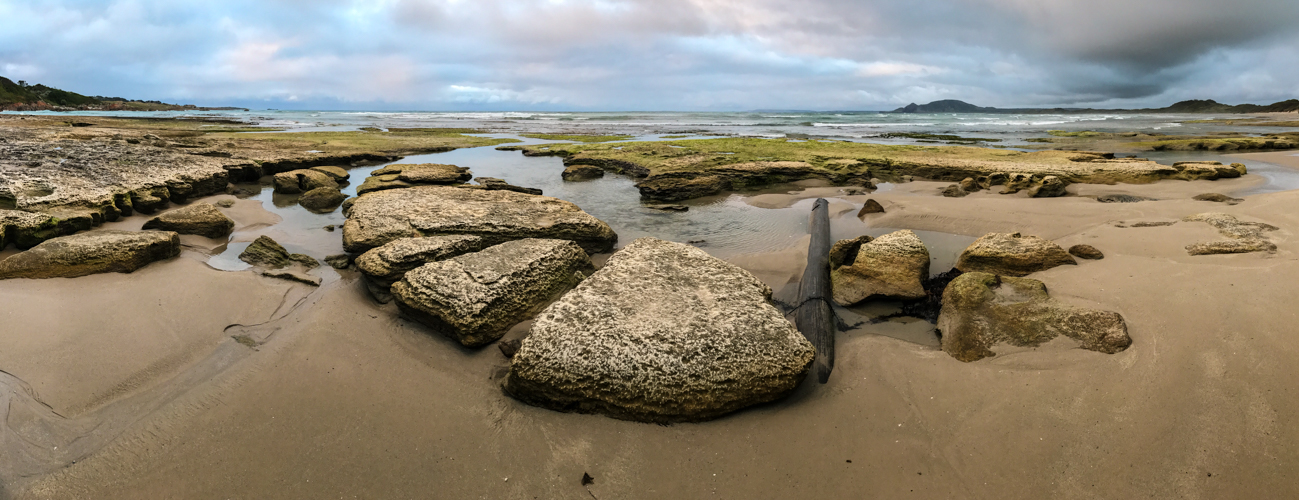
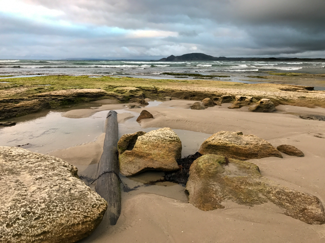
It's amazing to think this was once a dry paddock.  for 100 years was diverted from the original wetland to create grazing land. Due to the dedication of the owner of Paika Station this has been finally restored to its former state as a birdlife magnet in the outback.

The Station is also an amazing place to star gaze.

Our accomodation in the old shearers quarter

Relics of Paika

We also spent some time visiting the Yanga Woolshed and homestead which is part of the Yanga National Park.

May 2016: Newnes, NSW

Time to pack the camper trailer again and head away for the weekend.  This time a trip close to Sydney at a place called Newnes in Wollemi National Park.  The campground can be busy and full of some not so pleasant campers but at this time of year it is not that bad.

The campsite is set in the valley surrounded by an amazing escarpment. Don't be fooled by the old hotel building as you wont find any beer here any more.


From here it is a quick drive then walk around the abandoned shale mine.

We chose Newnes as a base to explore the Glow worm caves and do some 4WDing following Blackfellows Hand Trail, the upper section of the Spanish Steps (didn't go the whole way) through to the State Forest.

Heading home I thought I would give the trailer a bit of a work out.

Finishing of the trip with a quick stop at the old Zig Zag railway before heading home.

Out of Petrol

I was fortunate enough again to have another publication in the April 2016 edition of 4WD Touring Australia.   This time something different with an 8 page spread dedicated just to my photos.  

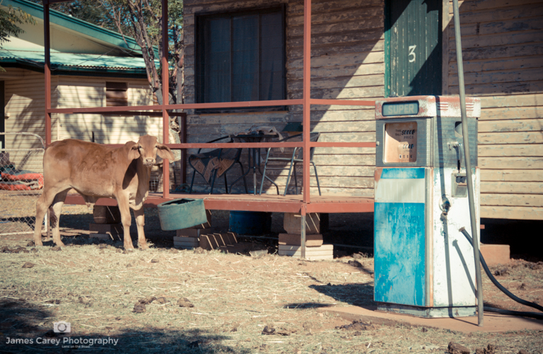
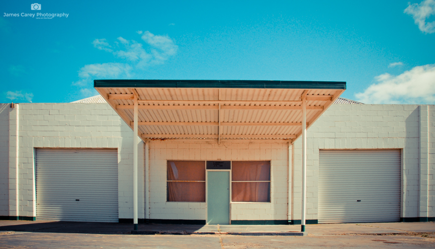
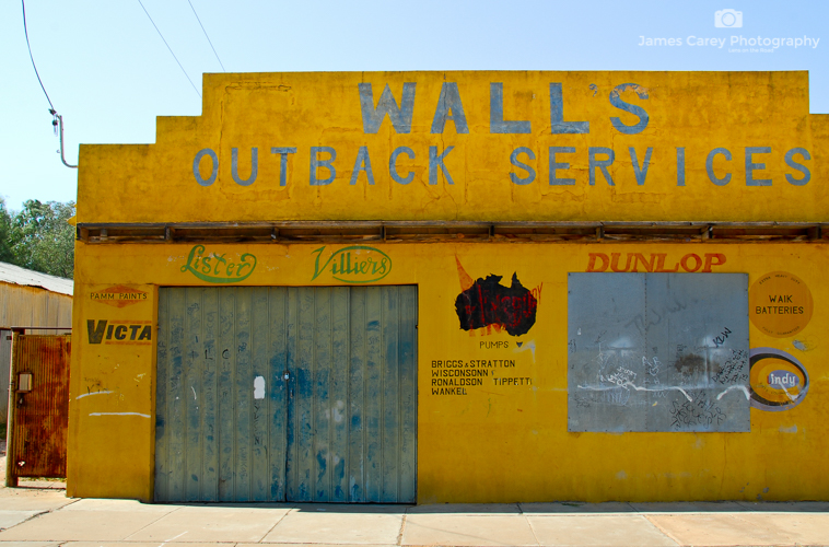
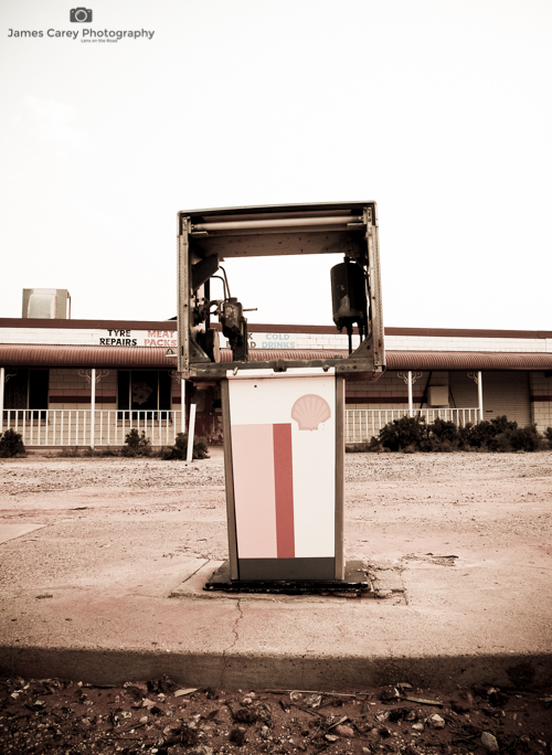
If you have explored my website you will have come across a collection of photos of old outback servos and their relics.  I have had a long fascination with these once important road side stops which now stand in decay having been replaced with the super highway centres.  Below is a small collection to these images and a link to the larger gallery. 

April 2016: Booti Booti National Park, NSW

You would not think it was April with warm weather making it perfect for a weekend escape up the coast to Booti Booti National Park. The name comes from "butibuti", the local Worimi Aboriginal word meaning"plenty of honey".  

The National Park has the best of both worlds.  On one side is Seven Mile Beach (I love how many long beaches are named 7 mile when they are not really that long) and the sheltered Wallis Lake on the other. 

Wallis Lake is a perfect spot for a paddle especially when there is little wind making it easy going.

It is amazingly shallow with the ability to walk several hundred metres out in to the centre of the lake yet still only be knee deep in water.  A perfect spot for the kids to play safely.

Not surprisingly, I did manage to get out early for some sunrise shooting.

The camp site is called the Ruins, a large flat grassy area next to the beach.  While I could imagine it could get crowded in the middle of summer, at this time of year there were approx 3o campers spaced far enough apart to not intrude on each other.  There are reasonably good facilities with basic amenities and BBQ.  However the camping fee is getting reasonable steep at $16 per adult and $8 per child per night plus park entry fee (quickly adds up for a family).

Despite this well worth a visit for those that have not been here.

April 2016: Ocean Travels

Now this trip does not really fit with our other travels throughout this great country but I am going to make an exception this time as it was a special occasion.  I took my wife on a surprise 3 night cruise from Sydney out in to the blue waters of the Pacific for our 22nd wedding anniversary.

Yes, we spent a lot of time relaxing and doing not much of anything.

March 2016: East Beach NSW

A weekend away with great friends.  Yes i know it is unusual but for once I did not take many photos. I had a little play with the gopro.

We also had a 21st Birthday to celebrate.

OK I did manage to sneak out in the middle of the night to try my hand at astro photography.  Still something I am learning.  Thats the great thing about photography - you never stop learning something new.

A few morning shots.  Not much happening in the sky so added to my 'Shell Project'.

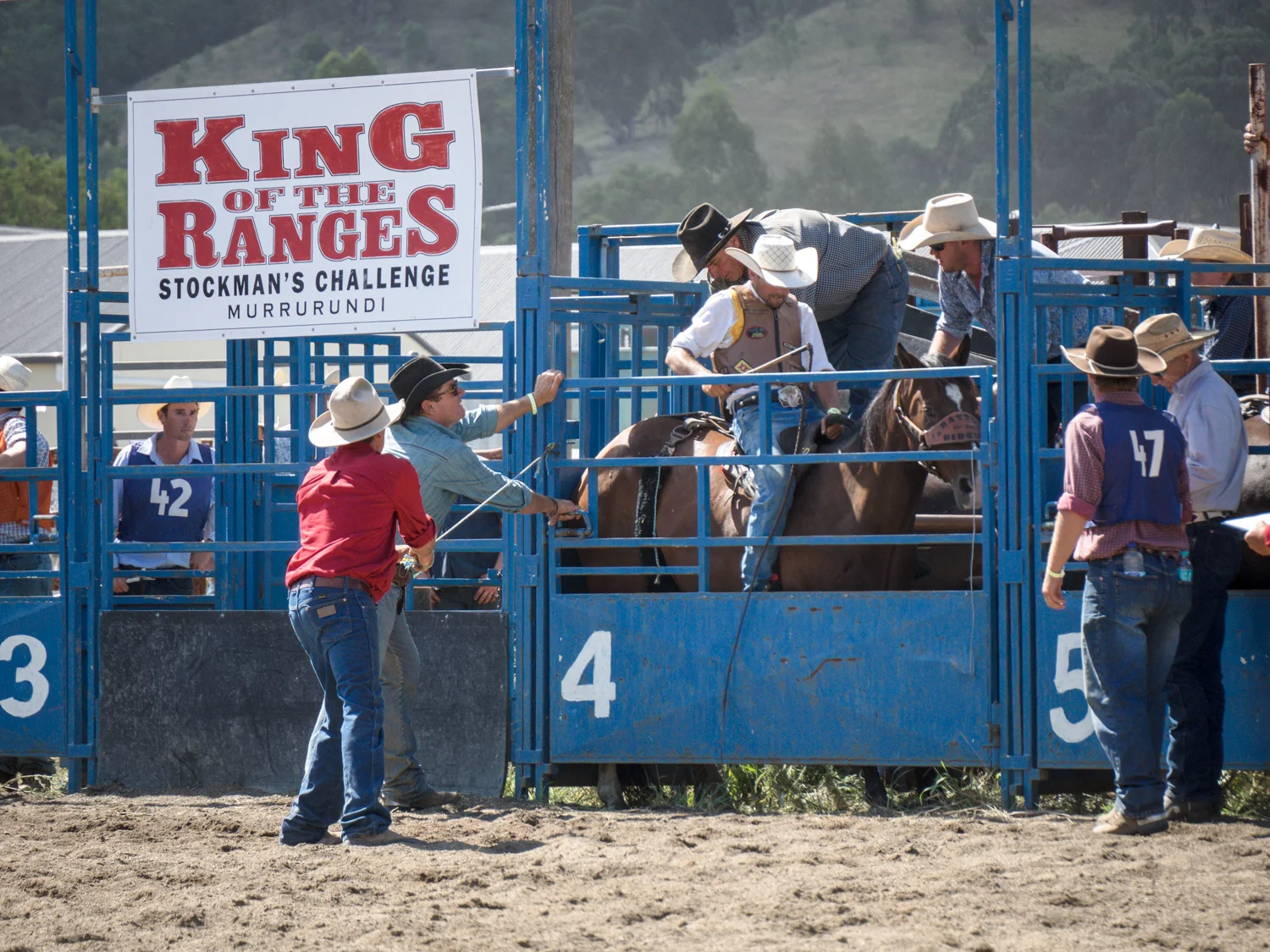
FEBRUARY 2016: Murrurundi, NSW - King of the Ranges

February saw a quick pack of the boots and Akubra as we headed to the King of the Ranges Stockman Challenge at Murrurundi in the Hunter Valley, NSW.  A weekend of horsemanship, dogs, cattle mustering and good old country charm.

LONR - Murrurundi-49.jpg

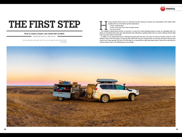
THE BIG LAP - Taking the first Step

This is a story that ran in the February 2016 Issue of 4WD Touring Australia.  It provides a little inspiration to take the first step to an epic adventure that you will remember for the rest of your life.

Having recently returned from an extended trip from Sydney to Darwin the conversations with friends often started with one of the following: ‘I wish I could do that’.  ‘If only I could, but I don’t have enough money”.  “You are so lucky.”

 The thought of taking 3 months, 6 months or a year off to travel Australia seems to many, an impossible idea.  For others it is something that must wait until retirement.  But retirement is getting further from our reach.  Waiting until the right time may mean there is no time left.

 In reality it is not about being lucky. It all begins by taking the first step. This does not need to feel like a leap of a cliff. Rethink it, like it’s the first step on a leisurely walk. With each step you will get closer to your goal and by the time you get there it wont have seemed that hard. The first step for us was picking a date 3 years away. A date is the only thing you need to remain fixed on.  Every thing else can be flexible.

Time is the second consideration. The continent is not something that you can rush.  To breath in the desert air, soak in the tropical stream or lie on the white sands, you need time.  For some the longer 12 month lap may be ideal.  This comes with extra challenges but none that have not been overcome by the procession of Ozi’s circling this great country. For others it is a matter or taking what time you can.  For us the option required us to break the lap up in to 3 month journeys.

Kids are often a reason for not taking an extended trip.  They are too young.  They are too old. They will drive me nuts. But they will drive you nuts at home so why not do it somewhere amazing.  You may be surprised that they will even voluntarily put down their devices and connect to the real world.

Like any goal, you don’t have to achieve it straight away.  Start thinking about where you want to go.  What do the kids want to see?  What does the wife/husband/partner want to do?  Remember this is about everyone.  Many start with a map and a bucket list of places to explore.  The lesson however, is you don’t want to spend your entire trip behind the wheel.  A 100km may go quickly on a freeway but the same distance can take all day on an outback track.  Have a plan but leave time for the unexpected.

From here work out your motivation. What will keep your eye on the goal? Is it pictures? A map of your trip?  What ever it is, make it visual. With your date set and an idea of where you are going, your journey has begun.  You have taken the first step.

The journey from here is all about research. The web is full of resources and blogs of other individuals, couples and families that have made the plunge. There are many decisions that need to be made.  What vehicle will we take?  Will we get a camper trailer, tent or caravan? Do I plan to stick to the main roads or venture in to the remote tracks? There is no correct answer and often you will need to decide what is right for you.

Armed with research the next is practice. Don’t let your level of experience put you off.  A 4WD course provided either by a club or company is invaluable.  There is nothing better than practicing removing a spike from a tyre and plugging it in the comfort of a group than doing it for the first time on the side of a desert track with your nervous partner overlooking your shoulder and no one for 100s of km.

There is some other wisdom that is universal irrespective of the length of time or who is going.

1.     You will not need the amount of clothes and stuff you think.  It is amazing how the same shirt does not smell much after 4 days compared to home.

2.     You will learn to be good at tetris as you pack and repack each time you move camp.

3.     Hide some cash somewhere for an emergency.  On the last day if you still have it buy yourself some champagne to celebrate.

4.     You may never come back to a place.  Some experiences are worth every cent so where appropriate don’t put off that boat trip or helicopter flight (see point 5).

5.     The most memorable experiences are often the free ones.  Camping under a thousand stars in the desert is priceless.

6.     Balance.  While 12 months roughing it in the bush with no toilets may be your idea of fun it may not be your partners. Mix up your travel with national parks, road side stops, caravan parks and the occasional treat in a hotel.

7.     You will develop a newfound appreciation for the price of fuel.

8.     Service your trailer and/or car before you go (see point 9).

9.     You will need to prepare for mechanical issues but the thing that actually breaks is the thing you didn’t bring a spare for (see point 10).

10.  Cable ties and fencing wire are essential tools on the road.

11.  Take one spare tyre and you will need two.  Take two and you will need three (see point 9).

12.  It will not all be smooth sailing (see above).  But the challenges and misadventure will be the things you talk about most when you get back.

13.  At some point mosquitoes, flies and midges will drive you mad.

14.  You will join the traveller’s code where you will share where you have come from, what the conditions were like, what to do and what to avoid.

15.  You will meet the most amazing people.

16.  You will be the envy of your friends.

There are many more things to prepare you for the trip, but as the date arrives there will always be the feeling of being unprepared.  The reality however is the true lessons of life and travel can only be leant by actually getting out there and hitting the road. And what begins as a date on a wall becomes the fist step in a journey that will leave memories that will last a lifetime.  So what’s your date?